








How to Plan a Virgin Islands National Park Trip: Beaches, Trails, and Snorkeling
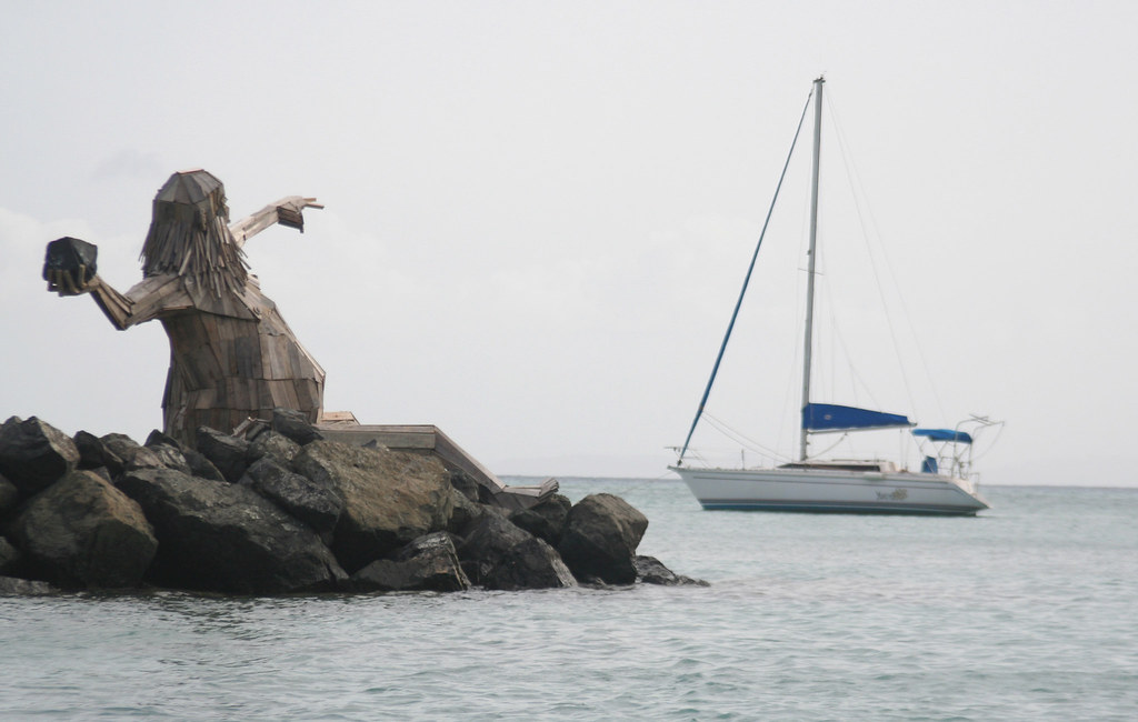
Photo: anoldent via Flickr (CC BY-SA 2.0)
How to Plan a Virgin Islands National Park Trip begins with choosing a base on St. John, allowing at least three full days, and dividing your time among North Shore beaches, inland trails, and protected snorkeling areas. The island has no airport, so every visit involves arriving through St. Thomas and continuing by passenger ferry or vehicle ferry. Once on St. John, short map distances can require surprisingly long drives because the roads are steep, narrow, and winding.
Virgin Islands National Park protects roughly two thirds of St. John, including forested hills, plantation ruins, beaches, seagrass beds, mangroves, and coral habitat. Cruz Bay is the transportation and commercial hub, while quieter Coral Bay provides easier access to the island’s eastern and southeastern trails. Planning around these two areas prevents repeated drives across Centerline Road and leaves more time for swimming, walking, and snorkeling.
Understand the island before booking your stay
St. John covers about 20 square miles, but its deeply cut bays and ridges make it feel larger from the road. The park’s best known beaches line North Shore Road between Cruz Bay and Francis Bay. Reef Bay Trail descends through the island’s interior, while Salt Pond Bay and Ram Head occupy the drier southeastern coast. There is no single entrance station through which every visitor passes, and park sites are scattered among residential areas and privately owned land.
Choose between Cruz Bay and Coral Bay
Cruz Bay works best for travelers arriving without a rental vehicle. Passenger ferries land here, and taxis commonly serve North Shore beaches such as Trunk Bay, Cinnamon Bay, Maho Bay, and Francis Bay. Lodging near town also places restaurants and food markets within easier reach. The tradeoff is traffic around the ferry dock and a longer drive to Salt Pond Bay, Lameshur Bay, and the eastern end of the island.
Coral Bay has a quieter setting and puts the southeastern shore within a shorter drive, but a vehicle is far more useful there. Centerline Road connects Coral Bay with Cruz Bay across the island’s mountainous spine. Although the distance is only about eight miles, allow roughly 25 to 35 minutes in normal conditions. Vacation rentals are the main lodging type around Coral Bay, so check road grade, parking, and whether four wheel drive is recommended before committing to a hillside property.
Plan the transfer from St. Thomas
Most visitors fly into Cyril E. King Airport on St. Thomas, take ground transportation to a ferry terminal, and cross to Cruz Bay. Passenger service from Red Hook generally provides the shortest crossing, while routes from Charlotte Amalie can reduce the overland trip across St. Thomas when schedules align. Vehicle ferries also operate from the Red Hook area. Schedules, baggage rules, fares, parking arrangements, park facility charges, and reservation requirements can change, so confirm current details on the official park and ferry operator sites.
If renting a vehicle, remember that traffic keeps left throughout the United States Virgin Islands, even though most vehicles have left side steering wheels. Tight curves, abrupt climbs, wandering livestock, pedestrians, and limited shoulders demand low speeds. Parking fills early at small beach lots. A taxi based day is practical for North Shore swimming, but trailheads such as Reef Bay, Lameshur Bay, and Salt Pond require more careful transportation planning.
Match the season and trip length to your priorities
December through April usually brings lower humidity, frequent trade winds, and the heaviest visitor demand. Water visibility can be excellent, although winter swells sometimes make north facing beaches rough. May and June are warmer and often quieter. The Atlantic hurricane season runs from June through November, with the greatest regional risk generally concentrated from August into October. Heavy rain can briefly flood roads, muddy steep trails, and wash sediment into bays.
Use seasonal conditions to select beaches
Wind direction matters as much as the month. Winter northerly swells can reduce visibility or create shore break at Trunk Bay and Cinnamon Bay, while protected coves may remain manageable. Persistent easterly trade winds can roughen exposed eastern water. Seasonal sargassum sometimes collects on windward and southern shores, but accumulation changes rapidly. Keep one flexible beach day so you can choose a bay after observing wind, waves, and recent rainfall.
| Period | Typical pattern | Planning implication |
|---|---|---|
| December to April | Drier weather, steady trade winds, occasional north swell | Reserve lodging early and inspect water conditions before snorkeling north facing bays |
| May to July | Hotter days, warmer water, intermittent heavy showers | Start exposed hikes early and carry more drinking water |
| August to October | Highest heat, humidity, and tropical storm risk | Use flexible bookings and monitor forecasts throughout the trip |
| November | Transition toward drier weather, with lingering storm potential | Build alternatives into each day and expect variable trail conditions |
Allow enough days for weather changes
Three full days provide a workable minimum, while five days allow better decisions around surf, rain, and crowding. Cruise ship arrivals on St. Thomas can increase day visitor traffic at accessible beaches, especially Trunk Bay. Starting before midmorning helps with parking and also puts hikers on exposed routes before the strongest heat. Avoid scheduling your most important snorkel for the morning you arrive, since delayed flights or ferry connections can consume much of that day.
- Three days: devote one day to the North Shore, one to Reef Bay or Ram Head, and one to snorkeling plus Annaberg Historic District.
- Four days: add a flexible day for rough water, rain, or a second snorkeling location.
- Five days: divide the island geographically, with separate days for Cruz Bay trails, the North Shore, Coral Bay, the southeast, and a weather dependent repeat.
Build each day around one part of St. John
Trying to combine distant trailheads and several beaches creates unnecessary driving. A better plan groups adjacent sites and alternates physical effort with time in the water. North Shore Road links overlooks, beaches, and the Annaberg area. Centerline Road reaches the Reef Bay Trailhead, while Route 107 continues through Coral Bay toward Salt Pond Bay. Carry food and water before leaving Cruz Bay or Coral Bay because options become limited near remote trailheads.
Pair North Shore beaches with historic Annaberg
Trunk Bay lies roughly 3.5 road miles from Cruz Bay and is known for its underwater snorkeling trail. Cinnamon Bay, about another mile east, has a long beach and access to trails crossing former plantation landscapes. Maho Bay’s shallow water and extensive seagrass make it a frequent feeding area for green sea turtles. Francis Bay is generally quieter and connects to a short trail through dry forest and wetland habitat.
Continue toward Leinster Bay and the Annaberg Sugar Plantation ruins to add historical context. Annaberg preserves remains of a windmill, factory, animal mill, and enslaved workers’ village associated with sugar production. From the Leinster Bay trail, visitors can look toward Waterlemon Cay, a popular snorkeling area exposed to currents and boat traffic. The shoreline walk is relatively gentle, but reaching the cay by water requires confident swimming and careful assessment of conditions.
Reserve separate days for Reef Bay and Ram Head
Reef Bay Trail drops approximately 900 feet over about 2.2 miles from Centerline Road to the south coast. The route passes tropical forest, plantation remains, and a side trail to petroglyphs carved near a seasonal pool. Returning to the road means regaining the full elevation in humid conditions. Arrange transportation before starting because roadside parking is limited, and do not assume mobile service will be reliable at the lower end of the valley.
Ram Head Trail begins beyond Salt Pond Bay and covers roughly 2.3 miles round trip. It crosses a cobble beach and climbs through cactus and dry scrub to an exposed headland about 200 feet above the Caribbean. On the final ridge, loose stone shifts underfoot, the sun reflects from pale rock, and trade winds become loud enough to mask conversation. There is almost no shade, which makes an early start and adequate water essential rather than optional.
Choose snorkeling water that matches your ability
How to Plan a Virgin Islands National Park Trip safely depends on treating snorkeling locations differently. Protected, shallow water suits beginners, while offshore cays and exposed points can involve current, boat traffic, and a long return swim. Enter only where you can identify a straightforward exit, and watch the water for several minutes before committing. Rain, swell, and wind can change visibility within hours.
| Location | Typical habitat | Best suited to | Main concern |
|---|---|---|---|
| Maho Bay | Shallow seagrass and patch reef | Beginners and turtle viewing | Roadside traffic and avoiding resting turtles |
| Trunk Bay | Marked underwater trail and rocky reef | Newer snorkelers in calm water | Winter swell and crowded entry areas |
| Waterlemon Cay | Coral, rocky habitat, and deeper channels | Strong, experienced swimmers | Current, boats, and distance from shore |
| Salt Pond Bay | Seagrass, scattered coral, and rocky edges | Intermediate snorkelers | Heat on the approach and exposed conditions |
Protect yourself and the reef
Use a mask that seals without overtightening, fins that will remain secure in chop, and a snorkel with a comfortable mouthpiece. A bright flotation belt or snorkel vest improves visibility without encouraging contact with coral. Apply mineral sunscreen before reaching the beach, then wear a long sleeved rash guard to reduce repeated application. Never stand on coral, pursue turtles, or place hands into crevices where fire coral, sea urchins, and moray eels may be present.
Use a simple buddy routine
Agree on the route and turnaround point before entering. Stay close enough to communicate, periodically look toward shore, and conserve energy by beginning against the current when conditions permit. If visibility deteriorates or breathing becomes labored, return immediately rather than crossing another channel. Snorkelers should also carry water and footwear because coral rubble, hot pavement, and rocky approaches make barefoot travel impractical.
Pack for heat, steep ground, and limited services
St. John’s humidity increases fluid loss even on short walks, and many trailheads have no nearby place to buy supplies. Each person should begin exposed hikes with at least two liters of water, adding more for Reef Bay or midday travel. Electrolytes help during prolonged sweating, but they do not replace water. Store snacks in sealed containers because mongooses, birds, and insects quickly investigate unattended food.
Build a park day kit
- Closed toe hiking shoes with traction for loose rock and wet roots
- Reef safe sun protection, hat, and ultraviolet blocking shirt
- Mask, snorkel, fins, and an anti-fog method
- Dry bag for keys, medication, and a charged phone
- Printed or downloaded map for areas with weak cellular service
- Basic first aid supplies, including blister care and tweezers
Prepare a weather fallback
After heavy rain, replace Reef Bay with Annaberg, a short forest walk, or a beach visit where runoff has not clouded the water. During rough north shore surf, inspect protected bays rather than assuming every snorkeling site has identical conditions. Thunder, rapidly darkening skies, or strong offshore wind should end a swim. Leave remote beaches early enough to complete steep road travel before darkness complicates navigation.
Frequently Asked Questions
These answers cover the planning decisions that most often affect transportation, family outings, and time allocation. Individual beaches and trails vary sharply in exposure, shade, and difficulty, so use the conditions at the specific site rather than treating the park as one uniform recreation area.
Can you visit without renting a car?
Yes. Taxis commonly connect Cruz Bay with major North Shore beaches. A vehicle becomes more useful for Coral Bay, Salt Pond Bay, and remote trailheads where arranging a return pickup can be difficult.
Is the park suitable for children?
Shallow bays and short historic-site walks work well for families. Choose beaches with calm water, provide constant supervision, and avoid exposed routes such as Ram Head during the hottest part of the day.
Are dogs allowed on park beaches and trails?
Leashed pets are generally allowed on park trails but prohibited on beaches. Heat, sharp rock, and limited shade also make many routes unsuitable for dogs during midday.
How many days are enough for a first visit?
Three full days cover one North Shore day, one substantial hike, and one flexible snorkeling day. Five days provide a better margin for changing surf, rain, transportation delays, and recovery after Reef Bay.
Can beginners snorkel in the park?
Beginners can start in shallow, protected water when seas are calm. They should remain close to shore, use the buddy system, and avoid Waterlemon Cay or exposed points until they can manage current and sustained swimming.
Finalize Your Virgin Islands National Park Trip Plan
A workable St. John itinerary groups sites by road corridor, starts strenuous activity early, and preserves at least one flexible day. Base yourself where transportation matches your priorities, then choose beaches according to current wind and swell rather than reputation alone. Carry food, water, sun protection, and navigation tools whenever you leave Cruz Bay or Coral Bay for a remote trailhead.
The strongest trips balance one major objective per day with room to adjust. Reef Bay requires energy for the return climb, Ram Head demands heat management, and offshore snorkeling requires an honest assessment of swimming ability. With those constraints built into the schedule, the park’s beaches, dry forest, plantation landscapes, seagrass beds, and coral communities can be explored without rushing across the island.
Want to keep exploring? Browse all our Virgin Islands guides and articles for more trip-planning tips and ideas.
Gear & Essentials
Tell us about your trip and we will add what else you will want:
The basics
Worth having in the car whatever the park.
For this trip
On the water
As an Amazon Associate we earn from qualifying purchases, at no extra cost to you.