Best Time to Visit Canyonlands National Park for Hiking, Camping, and Scenic Drives
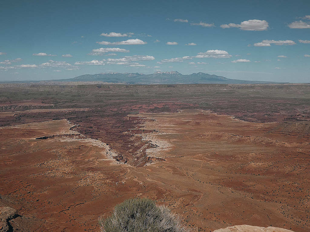
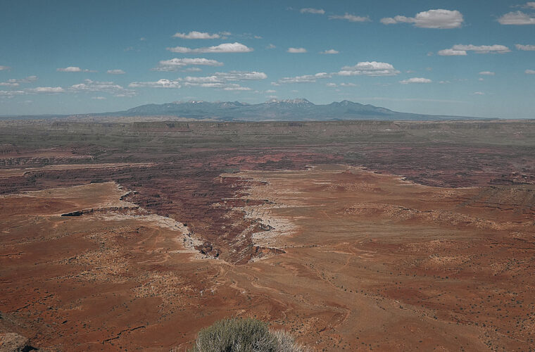
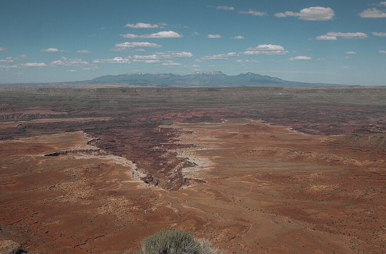
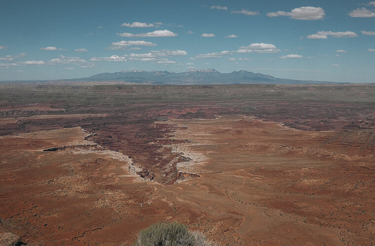
Photo: concrete&fells via Flickr (CC BY 2.0)
The Best Time to Visit Canyonlands National Park comes into focus at Mesa Arch before sunrise, when cold air pools on the Island in the Sky mesa and visitors stand on slickrock facing east toward the La Sal Mountains. The arch frames a sheer 500 foot drop into Buck Canyon, and the sandstone underfoot can be frosty in winter or already warm by early summer morning. Arriving early matters here because the small trailhead fills quickly, especially in spring and fall.
Canyonlands is divided into three widely separated districts: Island in the Sky, The Needles, and The Maze. For most visitors planning hikes, car camping, and paved scenic drives, Island in the Sky is the practical starting point, about 32 miles from Moab. The Needles lies roughly 75 miles south of Moab and rewards a longer drive with longer, more varied hiking routes. Our team recommends choosing a district before choosing dates, since road access, trail exposure, and camping options differ sharply between them.
Weather patterns that shape hiking, camping, and driving
Canyonlands sits on the high Colorado Plateau, where altitude, dry air, and exposed rock create large temperature swings. Island in the Sky reaches about 6,100 feet at Grand View Point, while trails in the Needles descend through warmer, more sheltered drainages. A 70 degree afternoon can follow a morning near freezing in April or October. Summer heat is the main constraint for hiking, while winter snow and ice can affect trails and scenic roads.
| Season | Typical conditions | Best uses | Main limitation |
|---|---|---|---|
| March through May | Cool mornings, mild to warm afternoons, wind, occasional rain | Long hikes, scenic drives, backpacking | Crowded trailheads and variable spring weather |
| June through August | Hot afternoons, intense sun, monsoon storms from midsummer onward | Sunrise walks, short trails, photography | Heat stress and flash flood risk |
| September through November | Warm days, cool nights, generally stable hiking weather | Hiking, camping, longer driving itineraries | Busy weekends and early cold fronts |
| December through February | Cold nights, short days, occasional snow and ice | Quiet overlooks and low elevation walks | Slippery rock, frozen water, road closures after storms |
Spring brings the widest hiking window
April and May are usually the strongest months for full days on trails such as Chesler Park, Druid Arch, and Syncline Loop. Desert wildflowers can appear after winter moisture, including Indian paintbrush, evening primrose, and globemallow, although blooms vary considerably with rainfall. Winds can be forceful along Island in the Sky’s exposed rim, and cold fronts occasionally bring snow into March or April. Start longer hikes early, carry an insulating layer, and expect the temperature to rise quickly after midmorning.
Fall balances warm days with cold desert nights
Late September through October often provides the most dependable conditions for a combined hiking and camping trip. Daytime temperatures are commonly comfortable for walking across open sandstone, while evenings cool enough for a sleeping bag feel far more manageable than midsummer camping. November can still be excellent for short hikes and scenic drives, though daylight becomes a planning factor. In the Needles, canyon shade arrives early, so hikers finishing long routes should carry a headlamp and a warm layer even on clear days.
Choose the district that matches your available time
Island in the Sky concentrates paved overlooks and short trails along one mesa-top road, making it the easiest district for a first visit or a single day. The Needles requires more driving and more route finding, but it holds the park’s best network of long day hikes through sandstone fins, grasslands, and narrow washes. The Maze is a remote backcountry district reached by rough roads, river travel, or long backpacking routes, and it requires a separate level of vehicle preparation and route competence.
Island in the Sky works best for short hikes and paved drives
From the Island in the Sky Visitor Center, the paved scenic road runs south to Grand View Point, with spur roads to Upheaval Dome and the Green River Overlook. The full out and back drive to Grand View Point is about 34 miles, excluding side trips and stops. Plan at least half a day because overlooks such as Shafer Canyon, Buck Canyon, Orange Cliffs, and Grand View Point are spread along the route. Morning light favors east-facing canyon views, while late afternoon brings stronger contrast to the west.
The Needles rewards hikers willing to navigate longer routes
The Needles district is defined by Cedar Mesa Sandstone spires, called needles, separated by sandy washes and grass-covered benches. Its trails are marked with cairns and occasional signs, but many junctions require careful attention. Elephant Hill is the principal trailhead for Chesler Park, Joint Trail, Druid Arch, and several backpacking routes. High-clearance access is useful on the approach road, and parking is limited at popular trailheads. Arrive early on spring and fall weekends, particularly if your route begins at Elephant Hill.
Trail choices by effort, terrain, and seasonal exposure
Canyonlands trails often feel harder than their mileage suggests. Slickrock absorbs and reflects heat, sandy stretches slow progress, and routes may climb and descend ledges rather than follow a continuous graded path. There is very little reliable shade outside canyon bottoms. We advise measuring your hiking day by time, water capacity, and navigation demands rather than distance alone, especially in the Needles and along the White Rim.
Short Island in the Sky walks fit hot days and limited schedules
| Trail | Round trip distance | Terrain and difficulty | Best timing |
|---|---|---|---|
| Mesa Arch | 0.7 mile | Easy slickrock and dirt path | Sunrise or cool morning |
| Grand View Point | 1.8 miles | Easy rim trail with exposed edges | Morning or late afternoon |
| White Rim Overlook | 1.8 miles | Mostly level slickrock and sand | Cool morning |
| Upheaval Dome First Overlook | 1.0 mile | Moderate climb over uneven rock | Spring, fall, or winter midday |
Mesa Arch is short but should not be treated as a casual roadside stop. The path crosses uneven bedrock, and the overlook has a real cliff edge beyond the arch. Grand View Point offers a better option for hikers who want a longer rim walk without committing to major elevation change. Upheaval Dome adds a steeper climb and a geologic puzzle: its contorted rock layers may reflect a salt dome uplift, meteor impact, or a combination of processes still studied by geologists.
Needles routes require water, navigation, and extra daylight
Chesler Park Loop covers roughly 10.8 miles when combined with Joint Trail, passing through narrow sandstone corridors before opening into a broad meadow surrounded by striped spires. Druid Arch is about 10.4 miles round trip from Elephant Hill and finishes with a steep scramble over slickrock benches. Both routes require hikers to follow cairns across open rock where a tread may disappear. Carry a paper map or offline map, since cell service is unreliable across both districts.
Plan trailhead access, camping, and vehicle logistics
Roads to the Island in the Sky district are generally suitable for passenger cars, but dirt roads beyond the paved corridor can become impassable when wet. The Shafer Trail and White Rim Road descend steeply from the mesa and demand a capable four wheel drive vehicle, appropriate tires, recovery planning, and careful attention to weather. White Rim Road is approximately 100 miles long and is a full day at minimum, though many travelers take longer to camp along it.
Parking strategy starts with the first trail of the day
For Island in the Sky, begin with Mesa Arch, Upheaval Dome, or Grand View Point before moving through the overlooks. This sequence reduces backtracking and gives you the best chance of finding a legal parking space at popular trailheads. In the Needles, make Elephant Hill your first stop if hiking Chesler Park or Druid Arch. If that lot is full, changing the day’s route is often wiser than waiting, since long hikes become significantly harder once desert temperatures rise.
Camping requires preparation for exposure and limited services
Frontcountry camping in Canyonlands places you on exposed desert ground, where wind can flatten poorly secured tents and temperatures can drop sharply after sunset. Backcountry sites along White Rim Road and in the Needles are spaced to protect fragile cryptobiotic soil, archaeological resources, and desert vegetation. Reservations, permits, entrance arrangements, and road conditions can change, so confirm on the official park site before departure.
Carry these items for a Canyonlands hiking day
- At least 3 to 4 liters of water per person for a long warm-weather hike, plus electrolytes.
- A paper map or downloaded offline map, especially for cairn-marked Needles routes.
- Sun hat, sunscreen, sunglasses, and lightweight long sleeves for reflective slickrock.
- Wind layer and insulation during spring, fall, and winter mornings.
- Headlamp, first-aid supplies, emergency food, and a charged battery pack.
- Sturdy shoes with grip for polished sandstone, loose gravel, and sandy washes.
Set Your Hiking Hours Around Heat, Light, and Storms
The best time to visit Canyonlands National Park depends as much on the hour you hike as on the month you choose. In April, May, late September, and October, most visitors can comfortably use the full daylight window, though exposed routes still feel hot by afternoon. From June through August, long hikes should begin at first light, with a firm turnaround time before the hottest part of the day. Canyon walls, slickrock benches, and open sandy washes can make a route feel several degrees warmer than the forecast for Moab.
Summer calls for short routes and early starts
Summer works best for Mesa Arch, Grand View Point, White Rim Overlook, and early scenic drives, rather than midday efforts on Chesler Park Loop or Druid Arch. Carry all the water you expect to need from the trailhead because reliable natural water is scarce and may contain sediment or microbes. Monsoon moisture often reaches southeast Utah from July into September. A storm over the Needles can send water rapidly through washes, so avoid narrow drainages when thunder is audible or dark cells are building over the Abajo Mountains.
Winter changes the footing more than the mileage
December through February can be productive for visitors focused on overlooks, photography, and shorter walks, especially when clear skies follow a storm. The main challenge is traction. Sandstone that appears dry can hold thin ice in shaded pockets, and packed snow may cover cairns on open rock. Bring traction devices for shoes if snow is forecast, allow extra time for the drive, and keep a warm layer accessible rather than buried in a daypack. Winter sunset comes early behind the canyon walls, particularly on Needles routes.
Make Scenic Drives Part of a Realistic Desert Day
Island in the Sky is the best district for combining overlooks with light hiking because its paved road keeps most major viewpoints within a compact mesa-top corridor. Treat each stop as a short outdoor walk rather than a view from the windshield. Shafer Canyon Overlook looks down on the switchbacks of Shafer Trail, while Green River Overlook faces the broad channel that cuts through the White Rim sandstone. Grand View Point provides the widest perspective, extending south toward The Needles and west across the maze of canyons beyond the Colorado River.
Use the paved route when weather is uncertain
After rain, the paved Island in the Sky road provides the most reliable way to see the park without driving into mud-prone backcountry. Plan a sequence that pairs overlooks with nearby walks: Mesa Arch in early light, Upheaval Dome before midday, then Green River Overlook and Grand View Point later in the day. Wind is often strongest near the mesa rim, where gusts can make vehicle doors difficult to control and chill hikers quickly. Keep children close at overlooks, since many viewpoints end at unfenced cliffs.
White Rim Road requires a separate plan
White Rim Road descends from Island in the Sky to a rough route between the Green and Colorado rivers. Its surface includes deep sand, rock ledges, washboard, and clay that becomes hazardous after rain. The road’s low elevation can also be much hotter than the mesa above, so a cool morning at Grand View Point does not guarantee manageable conditions near the river. Drivers should carry extra water, a full-size spare tire, recovery equipment, and enough food to remain self-sufficient if progress slows.
Protect the Terrain That Makes These Routes Possible
Canyonlands hiking routes cross a desert ecosystem that recovers slowly from disturbance. Dark, knobby biological soil crust grows between sandstone slabs and shrubs, binding loose soil with cyanobacteria, lichens, mosses, and fungi. A single footprint can break the crust and leave soil vulnerable to erosion for years. Stay on established tread, slickrock, and marked routes, even when a shortcut across open ground appears easier. In the Needles, cairns often guide hikers across bare rock specifically to keep repeated foot traffic out of fragile vegetation.
Give wildlife room at water sources and roadsides
Mule deer, desert cottontails, rock squirrels, ravens, and lizards are commonly seen around developed areas, while bighorn sheep sometimes use steep canyon terrain. Watch quietly from a distance and never leave food accessible in a vehicle or pack. Ravens and rodents quickly learn where hikers stop for lunch, and food conditioning creates problems for both animals and visitors. At dawn and dusk, drive slowly on park roads because wildlife may move across pavement when temperatures are cooler.
Respect cultural sites and natural features
Rock art panels, granaries, and other archaeological resources occur throughout Canyonlands, often in places that are not marked from the road. Do not touch, climb on, trace, or wet rock art, since skin oils and moisture can accelerate damage. Collecting rocks, pottery fragments, plants, or fossils is also prohibited. Photographing an artifact in place preserves its context, which helps archaeologists understand how people used these canyon landscapes over many centuries.
Frequently Asked Questions
Do I need a permit for day hiking in Canyonlands?
Most day hikes, including Mesa Arch, Grand View Point, Chesler Park, and Druid Arch, do not require a backcountry permit. Overnight backpacking and vehicle travel on White Rim Road require permits.
Are dogs allowed on Canyonlands trails?
Dogs are not allowed on hiking trails or in the backcountry. They may be permitted in certain developed areas, roads, and campgrounds, but owners should plan hikes that do not require leaving a pet unattended in a vehicle.
How many days should I spend in Canyonlands?
One day covers Island in the Sky’s principal overlooks and several short walks. Allow two or three days if you want a long Needles hike, a camping night, or a White Rim Road itinerary.
Is Canyonlands open during winter?
The park remains accessible year-round, though snow, ice, and wet-road conditions can temporarily affect travel. Winter visitors should focus on the paved Island in the Sky route and build extra time into their plans.
Can children hike in Canyonlands National Park?
Families can comfortably manage short walks such as Mesa Arch and Grand View Point when adults keep children away from cliff edges and carry ample water. Longer Needles routes demand strong navigation, heat management, and the ability to cover substantial mileage over uneven terrain.
Plan for the Conditions, Not Just the Calendar
For long hikes and comfortable camping, April through May and late September through October remain the most practical seasons. Those months give hikers more usable daylight, cooler slickrock, and better odds of finishing Needles routes before heat becomes a limiting factor. Spring visitors should prepare for wind and rapid temperature swings, while fall visitors should account for earlier darkness and cold nights.
Build your itinerary around the district and route that fit your vehicle, fitness, and available daylight. Island in the Sky is the efficient choice for paved drives and short rim walks. The Needles earns extra travel time with longer routes through Cedar Mesa Sandstone fins and cairn-marked slickrock. Carry more water than you think you need, stay off fragile soil, and let weather conditions determine the day’s objective.
Want to keep exploring? Browse all our Canyonlands guides and articles for more trip-planning tips and ideas.
Gear & Essentials
Tell us about your trip and we will add what else you will want:
The basics
Worth having in the car whatever the park.
For this trip
As an Amazon Associate we earn from qualifying purchases, at no extra cost to you.