How to Plan the Perfect Trip to Virgin Islands National Park

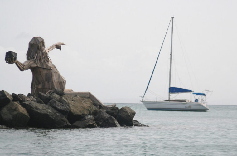
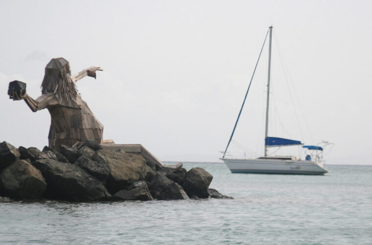
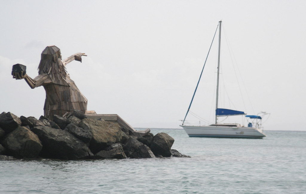
Photo: anoldent via Flickr (CC BY-SA 2.0)
Learning How to Plan the Perfect Trip to Virgin Islands National Park starts at Maho Bay just after sunrise, when pale sand feels cool underfoot and green turtles surface between patches of seagrass. Trade winds move through the sea grapes, pelicans strike the water close to shore, and the first taxis have yet to arrive. By late morning, the beach and narrow roadside parking area can feel entirely different, which explains why timing matters as much as choosing where to go.
Virgin Islands National Park occupies much of St. John in the United States Virgin Islands, protecting forested hills, historic plantation sites, coral reefs, mangroves, and approximately 5,650 acres of submerged land. St. John has no airport, so every itinerary involves a flight or boat connection through a neighboring island. Our team recommends planning in this order: choose the season, decide where to stay, arrange the crossing to St. John, select transportation on the island, and build each day around one geographic area.
Start with the geography of St. John
St. John is only about nine miles long, but steep terrain makes it feel larger. The island rises from deeply indented bays to 1,277 foot Bordeaux Mountain, its highest point. Narrow roads climb sharply over ridges and wrap around slopes with limited sightlines. A beach that appears close on a map may require a slow drive over Centerline Road or North Shore Road.
Understand where the national park begins
There is no entrance gate separating the park from the rest of St. John. Cruz Bay is the ferry port and commercial center, while parklands begin close to town and extend across much of the north shore and the island’s interior. The park also manages offshore waters, reefs, and small cays. Developed beaches sit alongside forest trails and archaeological sites rather than within a single visitor complex.
The Cruz Bay Visitor Center is the logical first stop for maps, trail conditions, cultural interpretation, and information about beaches affected by surf, construction, or storm damage. Current ferry schedules, facility operations, camping rules, mooring requirements, and site-specific fees can change, so confirm those details through official National Park Service and ferry operator sources before departure.
Choose between Cruz Bay, the north shore, and Coral Bay
Cruz Bay provides the easiest access to passenger ferries, groceries, restaurants, and taxis. It suits travelers without a rental vehicle and anyone arriving for a short visit. Coral Bay, on the eastern side, has a quieter setting and convenient access to Salt Pond Bay, Ram Head, and the southeastern coast, but fewer transportation options. Villas scattered along the north shore and interior ridges provide proximity or views, although steep driveways often make a four-wheel-drive vehicle useful.
Staying inside the park
Cinnamon Bay is the principal developed camping area within the park. Its location supports early starts on North Shore Road and immediate access to the beach, but campers should assess heat, insects, food storage, and the limited ability to walk safely along narrow roads. Reservations and available accommodation types should be settled before booking flights.
Build the journey around the ferry crossing
Most visitors fly into Cyril E. King Airport on St. Thomas, then travel by taxi to a ferry terminal. Passenger ferries commonly connect Red Hook with Cruz Bay, while some services may operate from Charlotte Amalie. Red Hook is farther from the airport but generally offers the most practical range of departures. Allow a generous transfer window because island traffic, baggage delivery, and ferry queues can disrupt tight connections.
Decide where to rent a vehicle
Travelers can rent on St. Thomas and use a vehicle ferry, or cross as foot passengers and rent on St. John. A St. John rental avoids navigating St. Thomas immediately after a flight and removes the vehicle-ferry step. Renting on St. Thomas can work well when the trip includes several nights there, but rental contracts must permit travel to St. John.
Vehicles drive on the left, although most have left-side steering. That places the driver near the road edge rather than the centerline. Roads are paved on major routes but steep, narrow, and interrupted by sharp switchbacks. Drivers should use low gear on long descents, expect animals and pedestrians near the pavement, and avoid stopping in travel lanes for photographs.
Know when taxis are sufficient
Open-air safari taxis regularly serve popular north-shore beaches from Cruz Bay, making a vehicle unnecessary for a beach-focused trip. Service becomes less predictable around remote trailheads, early mornings, evenings, and the southeastern shore. Hikers using Reef Bay, L’Esperance, Brown Bay, or Ram Head should arrange return transportation rather than assume a taxi will be waiting.
- Choose taxis for a short stay centered on Trunk Bay, Cinnamon Bay, Maho Bay, and Cruz Bay.
- Choose a rental vehicle for sunrise starts, Coral Bay lodging, remote trailheads, or several days of island exploration.
- Choose a guided outing when hiking logistics, snorkeling conditions, or historical interpretation matter more than independent transportation.
Match the season to your priorities
St. John remains warm throughout the year, but rainfall, humidity, trade winds, surf, and visitor volume change the experience. The driest period generally falls from winter into early spring. Atlantic hurricane season runs from June through November, with the highest tropical-storm risk usually concentrated from August into October. Travel insurance should address weather interruption when visiting during that period.
Compare the main planning seasons
| Period | Typical pattern | Best suited to | Main planning issue |
|---|---|---|---|
| December through April | Drier weather, lower humidity, steady trade winds | Hiking, beach days, first visits | Higher lodging demand and rough north-shore swell at times |
| May and June | Warmer, quieter, with periodic showers | Travelers seeking lighter crowds | Increasing humidity and variable seaweed accumulation |
| July through November | Hotter, wetter, with tropical-weather risk | Flexible itineraries and shorter booking horizons | Storm disruption, temporary closures, and reduced services |
Plan around sea conditions, not only rainfall
Winter swells can make north-shore snorkeling difficult even under clear skies. Trunk Bay, Cinnamon Bay, and Hawksnest Bay may have reduced visibility or breaking surf while protected coves remain calmer. Summer often brings gentler north-shore water, although sargassum can collect unpredictably, especially on exposed eastern and southern shores. Build at least two snorkeling opportunities into the itinerary rather than relying on one fixed morning.
Divide the trip into manageable regions
Trying to circle St. John repeatedly wastes time and increases driving on steep roads. Group north-shore beaches together, reserve a separate day for the southeast, and treat Reef Bay or another substantial hike as the main activity of its day. A first visit works best with at least three full days, while five to seven days provide room for weather changes and slower exploration.
Use anchor activities to shape each day
- North-shore day: Start at Trunk Bay or Maho Bay, then add Annaberg Sugar Plantation and a second beach.
- Southeast day: Hike the roughly 2.3 mile round trip Ram Head Trail from Salt Pond Bay, then cool off at the beach.
- Interior hiking day: Descend the Reef Bay Trail through moist forest toward plantation ruins and petroglyphs, accounting for the strenuous climb back.
- Flexible water day: Reserve time for snorkeling, paddling, or a boat trip when wind and visibility are favorable.
Keep arrival day deliberately light
Flights, baggage, ground transport, ferries, groceries, and lodging check-in can consume most of the first day. Plan only a Cruz Bay meal, a short walk on the Lind Point Trail, or an easy beach visit if daylight remains. The approximately one-mile route from Cruz Bay toward Honeymoon Beach introduces the island’s dry forest without committing travelers to a long drive or remote trailhead.
Pack for heat, coral, and steep terrain
Daypacks should support both trail and water time because many outings combine the two. Salt Pond Bay requires a walk from the road before the Ram Head climb begins, and beaches reached from the Lind Point Trail offer no convenient place to retrieve forgotten gear. Carry water from your lodging, protect electronics from sudden showers, and keep footwear available for hot pavement, loose rock, and thorny vegetation.
Use a compact island checklist
| Item | Why it matters | Common mistake |
|---|---|---|
| Refillable water bottle | Exposed trails become hot quickly, especially Ram Head and Johnny Horn | Assuming water will be sold at every beach or trailhead |
| Mineral sunscreen and sun shirt | US Virgin Islands law restricts sunscreens containing oxybenzone, octinoxate, and octocrylene | Applying sunscreen immediately before entering the water |
| Trail shoes or secure sandals | Rock, mud, cactus, and steep grades make flip-flops unreliable | Using beach footwear for a multi-mile hike |
| Dry bag | Protects phones, keys, medication, and ferry documents | Leaving valuables unattended on shore |
| Mask and snorkel | Personal equipment provides a predictable fit | Choosing fins that are difficult to control near shallow coral |
Protect yourself and the reef
Apply mineral sunscreen before leaving your lodging, then use a long-sleeved rash guard to reduce repeated applications. Enter through sand rather than walking across seagrass or coral, maintain enough buoyancy that fins cannot strike the bottom, and never stand on a reef. Green turtles often feed over seagrass at Maho Bay and Francis Bay. Give them room to surface and avoid positioning yourself between an animal and open water.
Manage heat before it becomes an emergency
Start exposed hikes early and turn around before your water supply reaches halfway. Heat stress can develop even on short routes because humidity reduces evaporative cooling. Headache, nausea, unusual fatigue, and confusion require shade, cooling, and assistance. Reef Bay’s return climb and Ram Head’s open ridgeline deserve particular caution. Hiking alone also magnifies the consequences of a fall where mobile service is weak.
Build backup plans into every day
Knowing How to Plan the Perfect Trip to Virgin Islands National Park includes accepting that wind, surf, rain, and transportation can alter a carefully timed itinerary. Keep one substantial hike, one sheltered beach option, and one cultural stop available rather than assigning every hour. Annaberg’s plantation ruins, the Cruz Bay Visitor Center, and shorter forest walks can preserve a day when snorkeling visibility deteriorates.
Respond to rough water
Whitecaps, suspended sand, and waves breaking across an entry point are reasons to stay ashore. Snorkel with a partner, identify the exit before entering, and avoid channels used by boats. Currents can carry swimmers beyond a headland where returning becomes difficult. Private boaters should use designated moorings where required and review our Hurricane Hole storm mooring permit guide when planning seasonal vessel protection.
Avoid the mistakes that consume vacation time
- Do not schedule a remote trail on departure day, when ferry connections leave little margin for injury, traffic, or a missed taxi.
- Do not leave groceries until late evening if staying near Coral Bay or in an isolated villa.
- Do not rely entirely on mobile navigation. Download maps before leaving Cruz Bay and carry a paper trail map.
- Do not pack several beaches into one afternoon. Parking searches and steep road travel quickly erase the apparent time savings.
- Do not leave food exposed in a vehicle or campsite, where birds, mongooses, and insects can reach it.
For severe weather, follow local emergency instructions and avoid driving across flooded low points. Tropical systems can interrupt ferries and flights after conditions improve locally, so retain enough medication and essential supplies for an extended stay. A flexible final day near Cruz Bay provides a useful buffer before the return crossing to St. Thomas.
Frequently Asked Questions
These practical answers address the decisions that most often affect first visits. Conditions differ sharply between a calm morning and a windy afternoon, so use them to shape a flexible plan rather than a rigid sequence of stops.
How many days do you need at Virgin Islands National Park?
Three full days cover the north shore, the southeast, and one major hike. Five days allow for changing sea conditions, a boat outing, and recovery time between strenuous trails.
Can you visit without renting a car?
Yes. Taxis work well between Cruz Bay and major north-shore beaches. A rental becomes more valuable for Coral Bay, Salt Pond Bay, early trail starts, and lodging beyond established taxi routes.
Is the park suitable for children?
Calm, shallow beaches can suit families, but surf, intense sun, and roads without sidewalks require close supervision. Choose short trails, carry flotation appropriate to the child, and never treat snorkeling gear as a substitute for swimming ability.
Can cruise passengers visit for the day?
They can, although the transfer from a St. Thomas cruise pier requires ground transportation and a ferry in each direction. Limit the plan to one north-shore beach and leave a generous return margin before the ship’s boarding deadline.
Where is the best snorkeling?
Trunk Bay has an underwater trail, while Maho Bay is known for seagrass habitat and frequent turtle sightings. Water clarity and safety determine the best location on a given day, so inspect conditions before entering.
Turn the plan into a workable island trip
A successful visit follows St. John’s geography instead of fighting it. Secure lodging and ferry connections first, choose transportation based on the most remote planned activity, and group beaches, trails, and historical sites by region. Early starts improve parking, reduce heat exposure, and create room to change course when the sea becomes rough.
Leave open space in the schedule, carry the supplies required for independent outings, and treat reef conditions as a daily decision. With those fundamentals settled, the trip can move at the island’s practical pace: one region at a time, with enough daylight and flexibility to explore it safely.
Want to keep exploring? Browse all our Virgin Islands guides and articles for more trip-planning tips and ideas.
Gear & Essentials
Tell us about your trip and we will add what else you will want:
The basics
Worth having in the car whatever the park.
For this trip
As an Amazon Associate we earn from qualifying purchases, at no extra cost to you.