Mammoth Cave National Park Guide: Cave Tours, Trails, and Trip Planning Tips
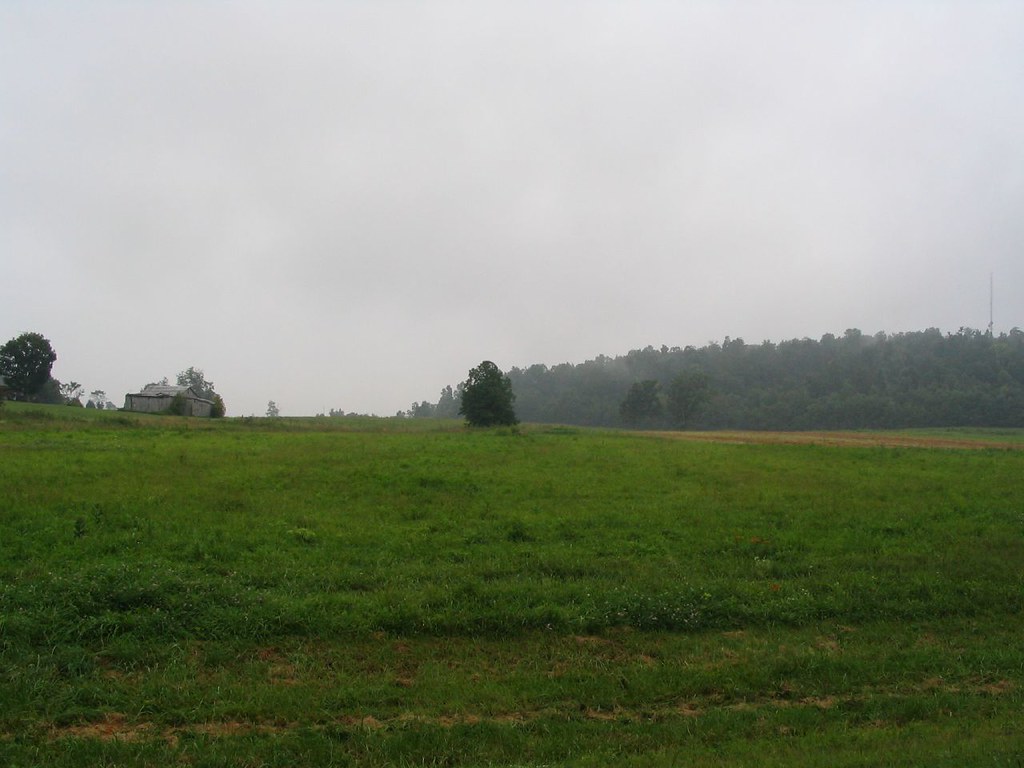
Photo: Ken Lund via Flickr (CC BY-SA 2.0)
Our Mammoth Cave National Park Guide begins inside the Historic Entrance, where cool air rises from a broad stone stairway even on a humid Kentucky morning. Below, electric lights reveal limestone walls, while footsteps echo through passages much larger than the entrance suggests. The cave stays near 54 degrees Fahrenheit, so the temperature change becomes obvious within the first few minutes.
Mammoth Cave protects the world’s longest known cave system, with more than 400 surveyed miles beneath forested ridges and the Green River valley. Most visitors need to solve three practical questions: which cave tour to reserve, how much surface exploration to add, and how to organize limited time. Our team recommends treating the cave tour as the fixed point of the trip, then building trails, river overlooks, and historical sites around its check in time.
Understand the park before choosing a tour
Mammoth Cave lies in south central Kentucky, roughly midway between Louisville and Nashville. The visitor center and primary cave entrances are west of Cave City, reached from Interstate 65 by Kentucky highways. Both major cities are approximately a 90 minute drive away under normal conditions. The park uses Central Time, an easy detail to miss when arriving from eastern Kentucky, where the time zone changes.
Why the cave has so many different passage types
The cave formed where groundwater dissolved thick layers of Mississippian limestone. A cap of sandstone and shale protected many upper passages from water entering directly above, which helps explain their broad, relatively dry corridors. Lower levels follow former routes of the Green River and contain narrower canyons, active water channels, pits, and shafts. This layered structure produces tour experiences ranging from level historical avenues to long staircases through vertical chambers.
Dry passages, domes, and flowstone
Broad sections such as Audubon Avenue preserve evidence of saltpeter mining during the War of 1812. Areas reached on routes such as Domes and Dripstones descend through vertical shafts created by water entering along fractures. Frozen Niagara looks different because mineral rich water deposited curtains and flowstone. Choosing a tour by its named geological feature is often more useful than choosing solely by duration.
The landscape above the cave
The park includes rolling uplands, sinkholes, springs, sandstone capped ridges, and the valleys of the Green and Nolin rivers. Cedar Sink is a large karst depression where the underground drainage system becomes visible at the surface. Near the visitor center, trails reach Dixon Cave, Echo River Spring, and overlooks above the Green River. North of the river, longer backcountry trails cross quieter oak and hickory forest.
Choose the cave tour that matches your group
Tour names, schedules, and available routes change by season, but the main decision remains consistent. Visitors should compare walking distance, stair count, passage width, and subject matter. A short route can still involve steep stairs or confined spaces, while a longer historical route may spend more time in broad corridors. Reserve the cave tour before booking the rest of the day, especially for weekends, school breaks, and summer visits.
Compare the principal tour styles
| Tour style | Typical experience | Best suited to | Important consideration |
|---|---|---|---|
| Historic routes | Large dry passages, mining history, early tourism sites | First visits and history focused travelers | Usually includes hills and numerous stairs |
| Domes and Dripstones routes | Vertical shafts, narrow sections, Frozen Niagara formations | Visitors prioritizing varied geology | Steeper and more confined than broad avenue tours |
| Long routes | Several passage types over multiple hours | Fit walkers with most of a day available | Extended time underground and limited exit options |
| Short formation tours | Concentrated access to flowstone and cave decoration | Families or travelers with limited time | May begin away from the main visitor center |
Read the physical requirements carefully
Tour distance alone does not describe difficulty. Check the published stair count, narrowest passage, total duration, and minimum age before reserving. Visitors with claustrophobia may prefer routes dominated by Historic Entrance passages. Anyone with knee or balance concerns should avoid tours emphasizing deep pits or lengthy stair systems. Cave wheelchairs, mobility access, child carriers, and service animal rules vary by route, so confirm tour availability, fees, check in instructions, and current accessibility details on the official park site.
Plan for sold out or canceled tours
If a preferred tour is unavailable, compare the remaining routes by feature rather than waiting for a similarly named option. A Historic route provides the strongest human history, while Frozen Niagara area tours emphasize formations. Keep a surface itinerary ready in case weather, mechanical issues, or staffing affects operations. Cedar Sink, the Green River overlooks, and the visitor center exhibits can fill several useful hours without duplicating the underground experience.
Build the day around a fixed cave reservation
Arrive well before the stated check in time. Parking, restroom stops, ticket collection, and walking to the tour meeting point all consume time. Some tours depart near the visitor center, while others require transportation or a drive to another cave entrance. Mobile reception can be inconsistent, so save reservation details and park maps before entering the park.
A practical plan for one day
- Morning: Take a two to three hour cave tour while energy levels are high and summer temperatures remain lower.
- Midday: Eat near the visitor center or use a designated picnic area. Food is prohibited on most cave routes.
- Afternoon: Walk the 1 mile Cedar Sink Trail or combine shorter paths near the Historic Entrance and Green River valley.
- Late day: Visit a river overlook, then allow extra driving time if leaving by the Green River ferry route.
This sequence avoids placing a long surface hike immediately before a stair intensive cave tour. Cedar Sink requires a separate drive from the visitor center, while the Heritage Trail and nearby cave entrance paths are easier to fit into a short gap. Never schedule two tours with a narrow interval unless their departure locations and required check in times clearly allow it.
What a second day adds
Two days allow visitors to pair contrasting cave routes, such as a history centered tour and a route featuring vertical geology. The additional time also makes the north side of the Green River practical. Backcountry roads and trailheads are dispersed, and crossing the river may involve a small ferry with vehicle limitations. A second day reduces pressure to combine underground touring, driving, and a long hike before dark.
Prepare for cave conditions and Kentucky weather
The cave remains cool throughout the year, but the surface climate changes sharply. Summers are hot and humid, with thunderstorms and active ticks. Spring brings wildflowers, high water, and muddy trails. Autumn usually provides comfortable hiking temperatures and changing hardwood foliage. Winter offers sparse crowds and clearer forest views, although ice or occasional snow can complicate roads and exposed paths.
Pack for two environments
- A light fleece or jacket for the 54 degree cave
- Closed toe walking shoes with reliable traction
- Water for surface trails, kept outside restricted cave areas
- Rain protection for walks between parking and entrances
- Tick repellent and long trousers for grassy or backcountry trails
- A downloaded map, reservation record, and small flashlight for surface use after dusk
Shoes worn in another cave may require cleaning to reduce the spread of white nose syndrome, a fungal disease that has killed bats across eastern North America. Follow all screening and decontamination instructions. Flash photography and handheld lights may also be restricted underground, and backpacks or child carriers can be prohibited on routes with tight passages.
Avoid the mistakes that disrupt cave visits
The most common planning errors are arriving at the park at the tour departure time, assuming every route begins at the visitor center, and dressing only for outdoor heat. Visitors also underestimate stairs because the published mileage appears short. Eat beforehand, use the restroom, verify the meeting location, and bring one insulating layer per person. Cave tours operate on controlled schedules, so late arrival can mean losing the reservation rather than joining the group underground.
Choose surface trails by time and terrain
The trails near the visitor center work well between scheduled activities because several connect into short loops. Routes descend from the sandstone capped upland toward the Green River, so the return often includes a steady climb. Trail junctions can make published distances misleading when combining paths. Photograph the map at the trailhead and note which route returns to the visitor center rather than continuing toward the river.
Short walks near the cave entrances
| Trail | Approximate distance | Primary feature | Terrain |
|---|---|---|---|
| Heritage Trail | 0.5 mile loop | Historic Entrance area and overlook | Short, developed path |
| Dixon Cave Trail | 0.4 mile | Bat habitat and former cave entrance | Wooded slope with elevation change |
| River Styx Spring Trail | 0.4 mile | Underground water emerging near the river | Steep descent with stairs |
| Sloan’s Crossing Pond Walk | 0.4 mile loop | Karst pond, frogs, and wetland plants | Boardwalk and mostly gentle grades |
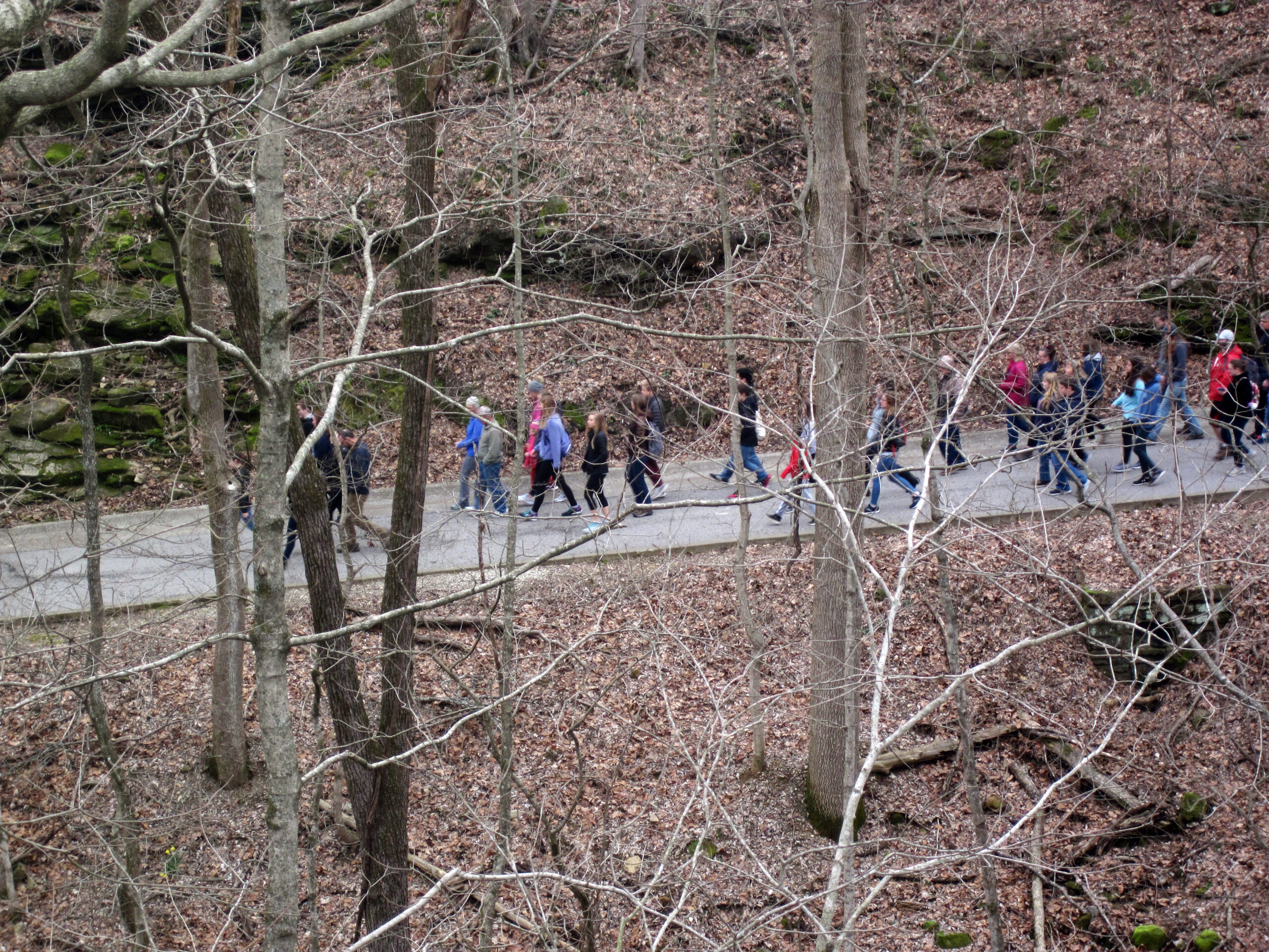
At Green River Bluffs, the forest floor can feel damp and cool even when the upland parking area is hot. Limestone appears through the soil, woodpeckers carry across the slope, and the river comes into view well below the bluff. The elevation change becomes most apparent on the return climb, particularly after rain leaves exposed roots and stone slick.
Longer routes north of the Green River
The backcountry contains roughly 60 miles of trails used by hikers and equestrians. Collie Ridge, First Creek, Sal Hollow, and McCoy Hollow cross ridges divided by steep drainage valleys. Distances between trailheads are greater than they appear on a park overview map, and mobile coverage is unreliable. Carry a detailed map, water, and a turnaround time. Stream crossings and muddy horse traffic can slow progress after heavy rain.
Prepare for disruptions above and below ground
Heavy rain can affect river crossings, low roads, springs, and trail surfaces even when cave tours continue normally. The Green River ferry is a useful connection to the park’s north side, but river conditions and vehicle restrictions can change how it operates. Drivers should keep a road route on the same side of the river as their next reservation rather than relying on the ferry for a tightly timed connection.
Use a simple contingency checklist
- Save the visitor center address and tour meeting point offline.
- Keep rain gear and dry socks in the vehicle.
- Carry a paper map for north side trailheads.
- Allow extra time after storms, when fallen branches and mud may slow hiking.
- Choose a short visitor center trail if a longer outing would threaten the cave check in time.
Know when to turn around
Leave exposed riverbanks when thunder is audible, and avoid entering flooded crossings or sinkhole depressions holding moving water. Summer heat presents a different problem because the cave’s cool temperature can disguise how much fluid a visitor needs afterward. Drink before starting a surface hike. Backcountry hikers should also check for ticks at socks, waistbands, and behind the knees after walking through tall vegetation.
Frequently Asked Questions
These answers address the planning details travelers most often need after selecting a route. The official tour calendar remains the source for available departures, ticket prices, age limits, and operating schedules because those details vary throughout the year.
Do I need a reservation to enter Mammoth Cave National Park?
Surface areas generally can be visited without a cave tour reservation. Entry into developed cave passages requires an authorized tour or scheduled cave experience, and advance ticketing is strongly recommended.
Are dogs allowed?
Leashed pets are permitted on many surface trails and in designated outdoor areas, but they cannot enter cave tours or most park buildings. Service animal access depends on the physical limitations of the specific cave route.
How much time should I spend at the park?
Allow one full day for a cave tour, visitor center exhibits, and a short surface trail. Two days provide enough time for contrasting cave routes or a longer hike north of the Green River.
Is Mammoth Cave suitable for children?
Many families do well on shorter routes with broad passages, but adults should compare stair counts, duration, and minimum ages. Strollers are unsuitable underground, and framed child carriers may be restricted on confined routes.
Can I explore the cave without a guide?
Visitors cannot independently roam the cave system. Any self guided access is limited to specific scheduled offerings within a controlled section of the cave.
Gear & Essentials
Tell us about your trip and we will add what else you will want:
The basics
Worth having in the car whatever the park.
For this trip
As an Amazon Associate we earn from qualifying purchases, at no extra cost to you.
Plan the cave first, then complete the trip
The most reliable strategy is to reserve an appropriate cave route, identify its exact meeting point, and build surface activities around that commitment. Match stairs and passage dimensions to the least mobile person in the group. Then choose nearby trails according to available time, recent rain, and the energy required for the cave itself.
This Mammoth Cave National Park Guide also leaves room for changes. A saved map, warm layer, early arrival, and backup surface route prevent common disruptions from consuming the day. With those details settled, visitors can focus on the park’s defining connections: dry upper passages, active underground drainage, wooded sinkholes, and the Green River that continues shaping the cave system.
Want to keep exploring? Browse all our Mammoth Cave guides and articles for more trip-planning tips and ideas.