About City Of Rocks
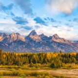
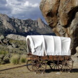
Described by California Trail emigrants as “a city of tall spires,” “steeple rocks,” and “the silent city,” this awe-inspiring landscape continues to captivate. Today, it beckons rock climbers, hikers, campers, hunters, and adventurers with its dramatic scenery, fascinating geology, and echoes of the Old West. The Silent City is ready for you to explore.
From the National Park Service.
- Region
- West
- State
- Idaho
- Designation
- National Reserve
- Entrance fee
- None listed
- Trail data for this park is still being added.
- Places for this park are still being added.
Know before you go
Fees, hours, weather and getting to City Of Rocks.
Entrance fees
The National Park Service lists no entrance fee for this park.
Hours
Open 24 hours a day, every day.
The National Reserve is open 365 days a year, 7 days a week, 24hrs/day. Many roads are not maintained during the winter and may become impassable from late November through May. For current conditions visitors are encouraged to check with the Visitor Center or watch for alerts on our website and social media.
Weather and when to go
City of Rocks is located in south-central Idaho within the northern edge of the Basin and Range geologic province. Outdoor recreation can be pleasant from April through October. Summers are generally dry with 10 to 15 inches of precipitation in winter and spring. Summer temperatures range widely with night time lows occasionally approaching freezing and midday highs nearing 100° F; however, the typical range of low and high temperature is 45-85. Thunderstorms are common in the summer months (June - August)
Getting there
From Boise: take I-84 East to exit 216 (Declo); go south on Highway 77 to Conner Creek Junction; turn right (west) on Highway 77 Spur to Almo. The visitor center and the park entrance are south of the post office and businesses. From Pocatello: take I-86 West to I-84 West to exit 216 and proceed as above. From Salt Lake City: take I-84 west to exit 245 (Sublette), turn left and go west to Malta. From Malta take Highway 77. Take Highway 77 Spur to Almo.
Contact the park
- Address
- City of Rocks National Reserve, 3035 Elba-Almo Road, Almo, ID 83312
- Phone
- (208) 824-5901
- Official site
- nps.gov/ciro
From the National Park Service, checked weekly. Fees, hours and road conditions change: confirm with the park before you go.
Trip planner
A day-by-day plan for City Of Rocks
Tell us your dates and what you are into. We group the stops by where they are, so each day is one part of the park, not a zigzag.
The trails and places you save below go into your plan as must-sees.
Plan your park trip Free. No account needed.
Things to do in City Of Rocks
The park service's own list, with how long each takes.
-
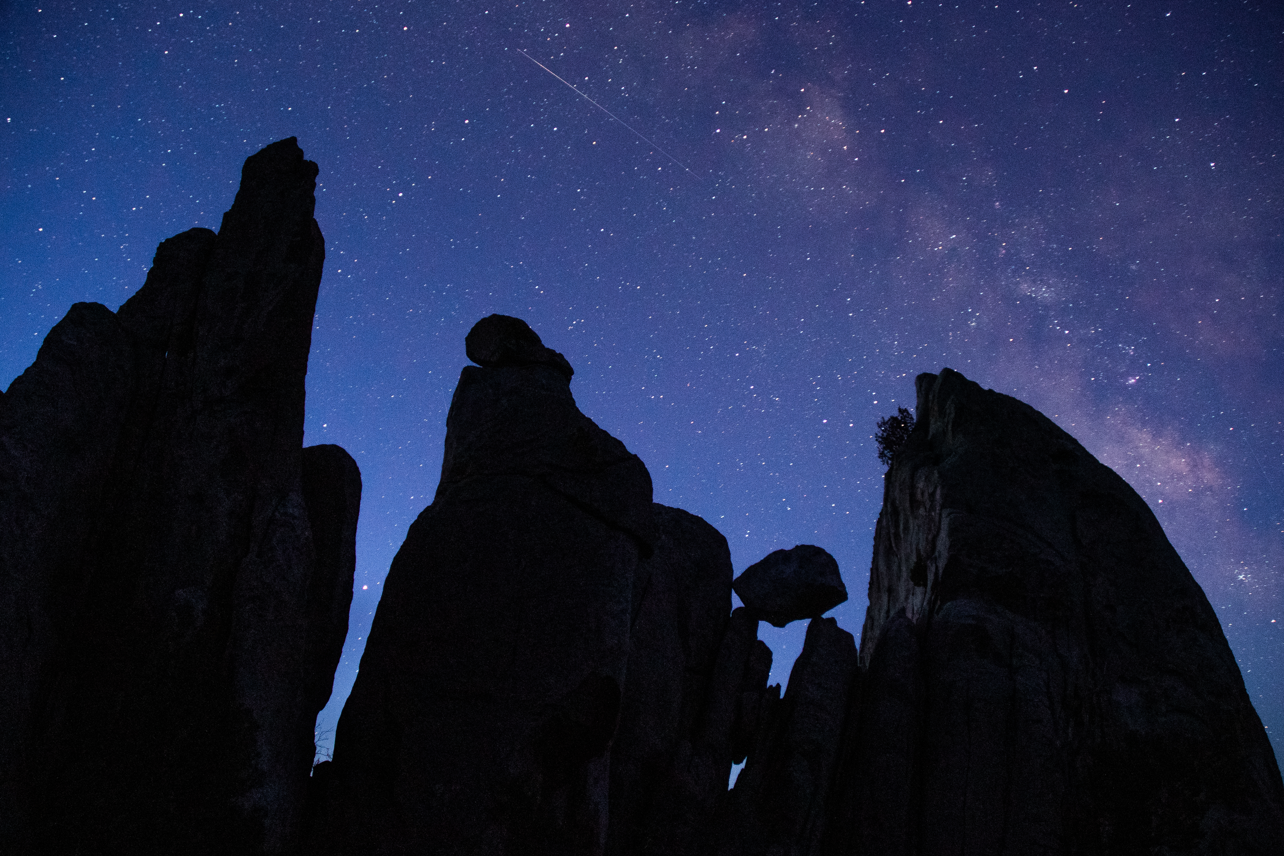
Explore the Night Sky
A day in the park doesn't have to end when the sun goes down! A whole new world comes alive at night and is waiting to be explored. The dark sky over City of Rocks is an excellent…
-
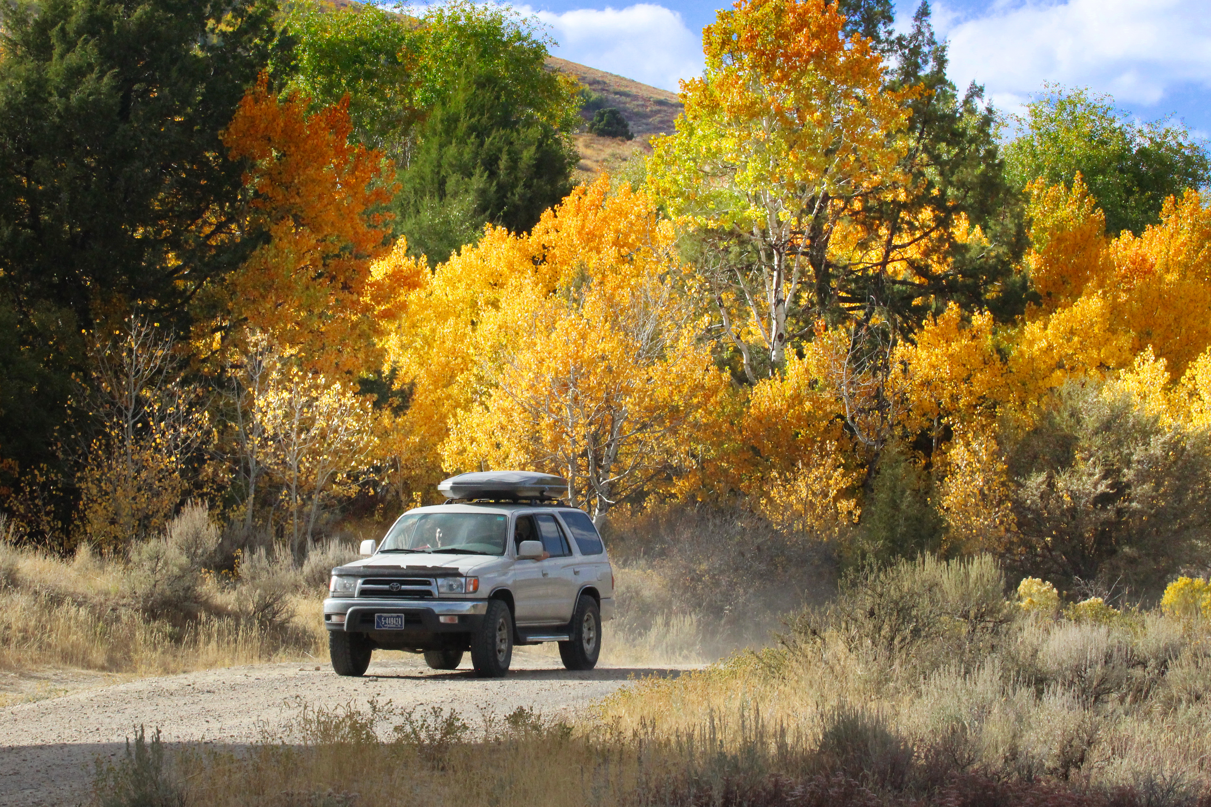
Geologic & Historic Sites Driving Tour
A self-guided journey to discovering geologic wonders and historical sites in City of Rocks National Reserve. As you drive through the Reserve you will be able to view the feature…
-

Disc Golf at Castle Rocks
With the dramatic Castle Rocks landscape in the backdrop, this small three-hole disc golf course is fun for all ages and abilities. The lush grassy area of Castle Rocks Ranch has…
-
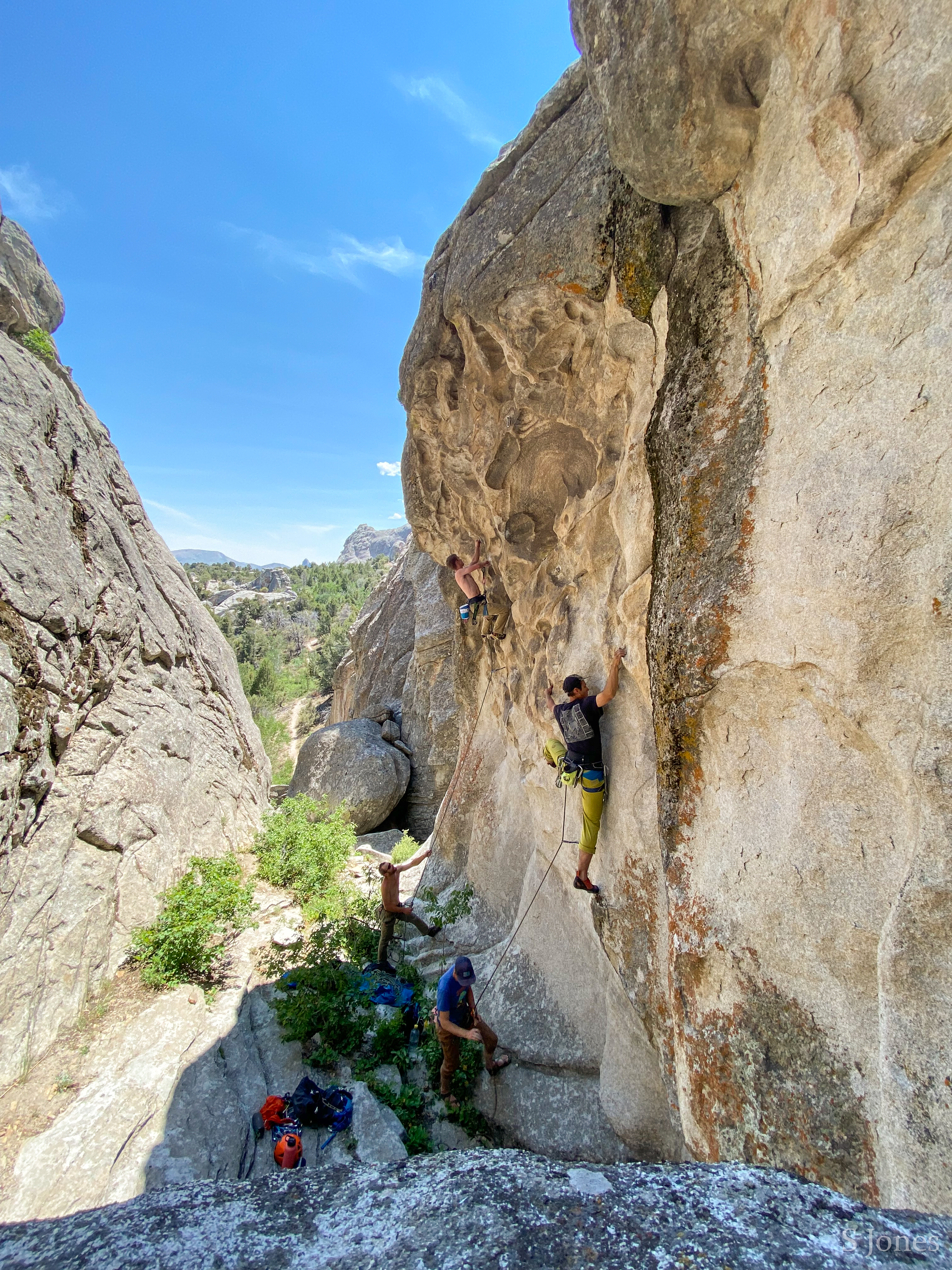
Rock Climbing in City of Rocks and Castle Rocks
Popular since the 1970's, City of Rocks granite is internationally renowned among climbers. There are over 600 routes here, both traditional and sport. Climbs vary from 30-600 fee…
-
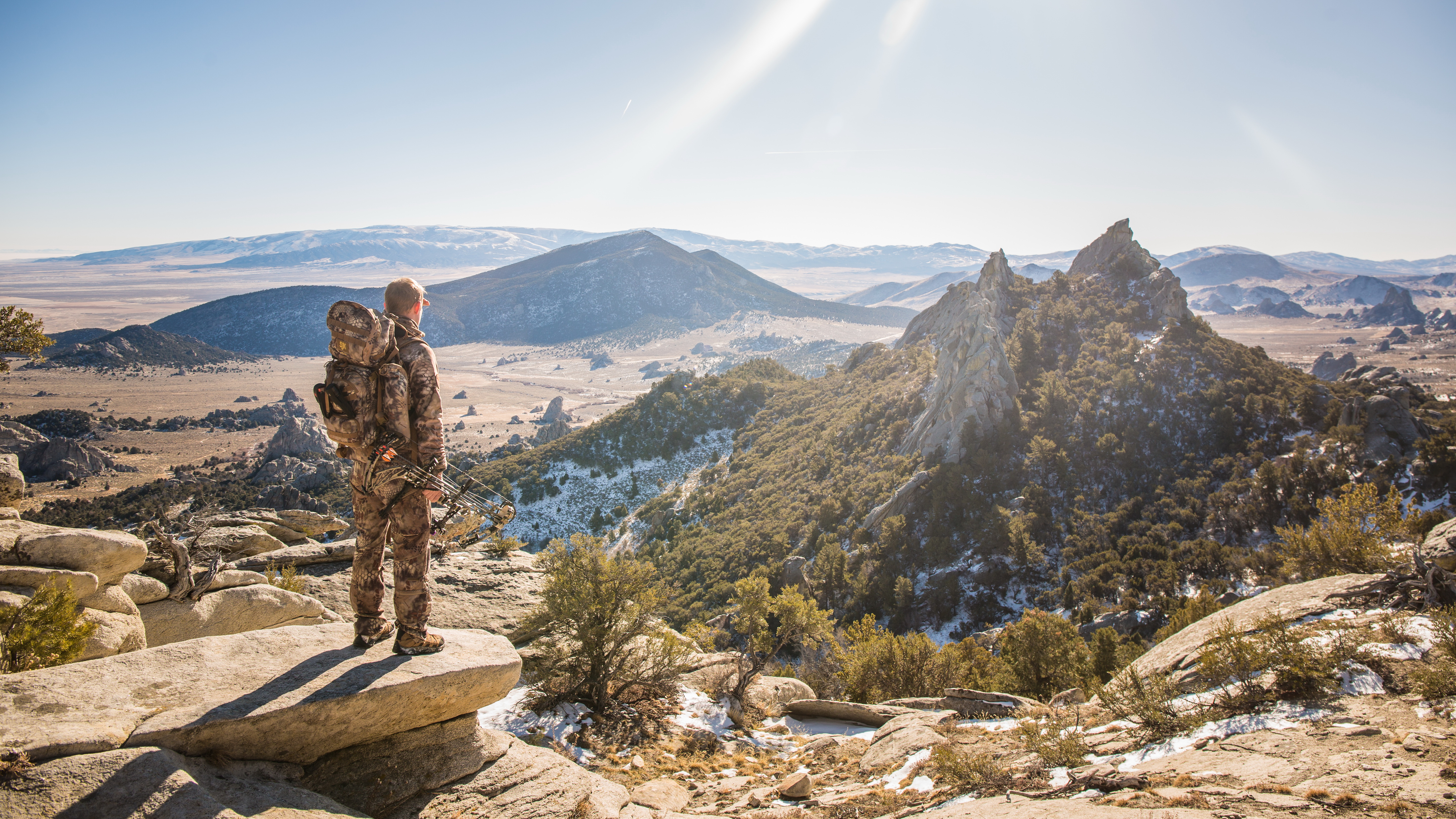
Hunting in City of Rocks and Castle Rocks
City of Rocks National Reserve was formed in part to preserve traditional uses of the land. It is one of few National Park System units that allows hunting. State and federal land…
-
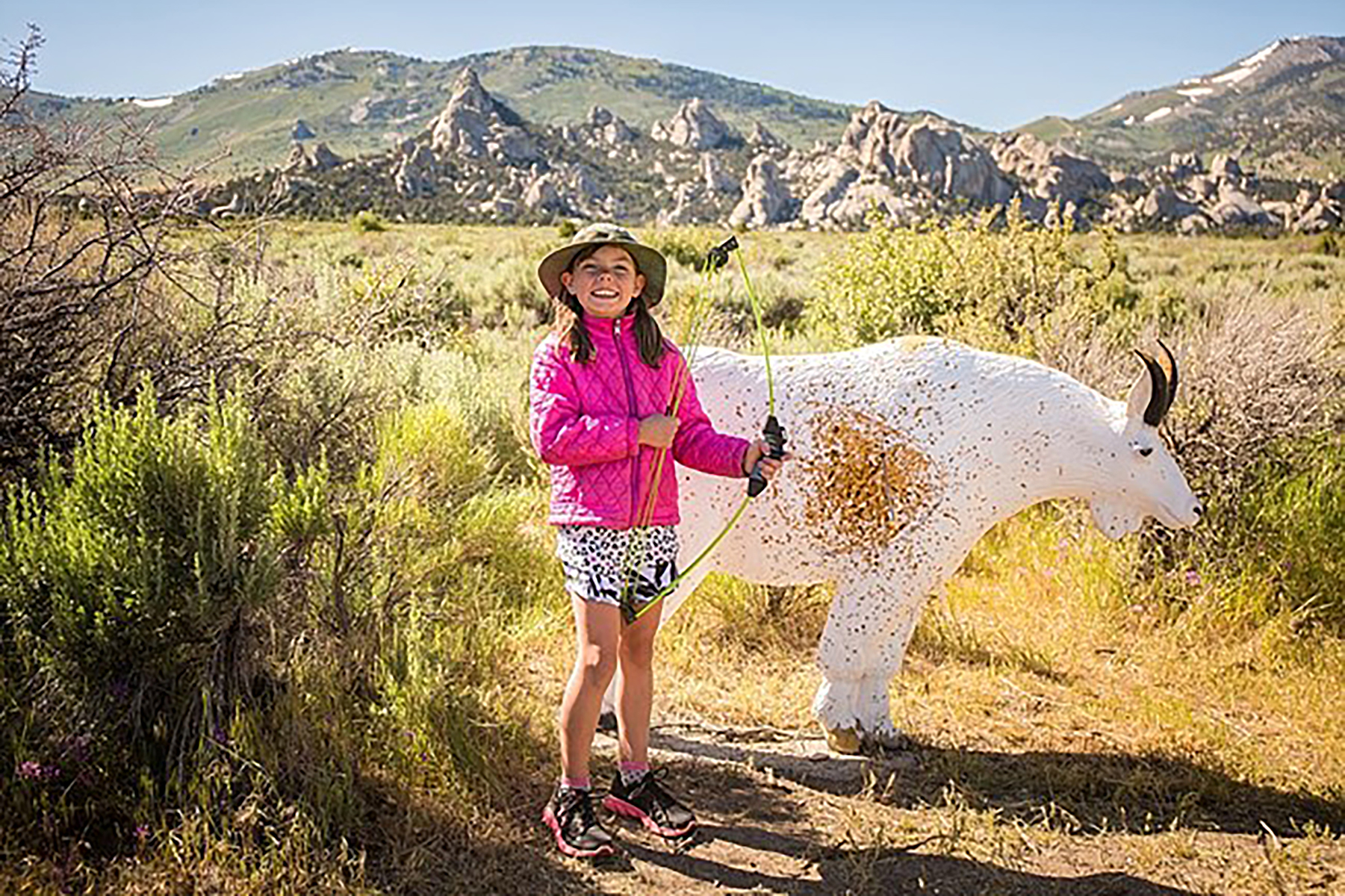
Archery Course at Castle Rocks
This course at Castle Rocks State Park has more than 20 stations. Shot distance ranges from 20 yards to 60 yards depending on target size.
-
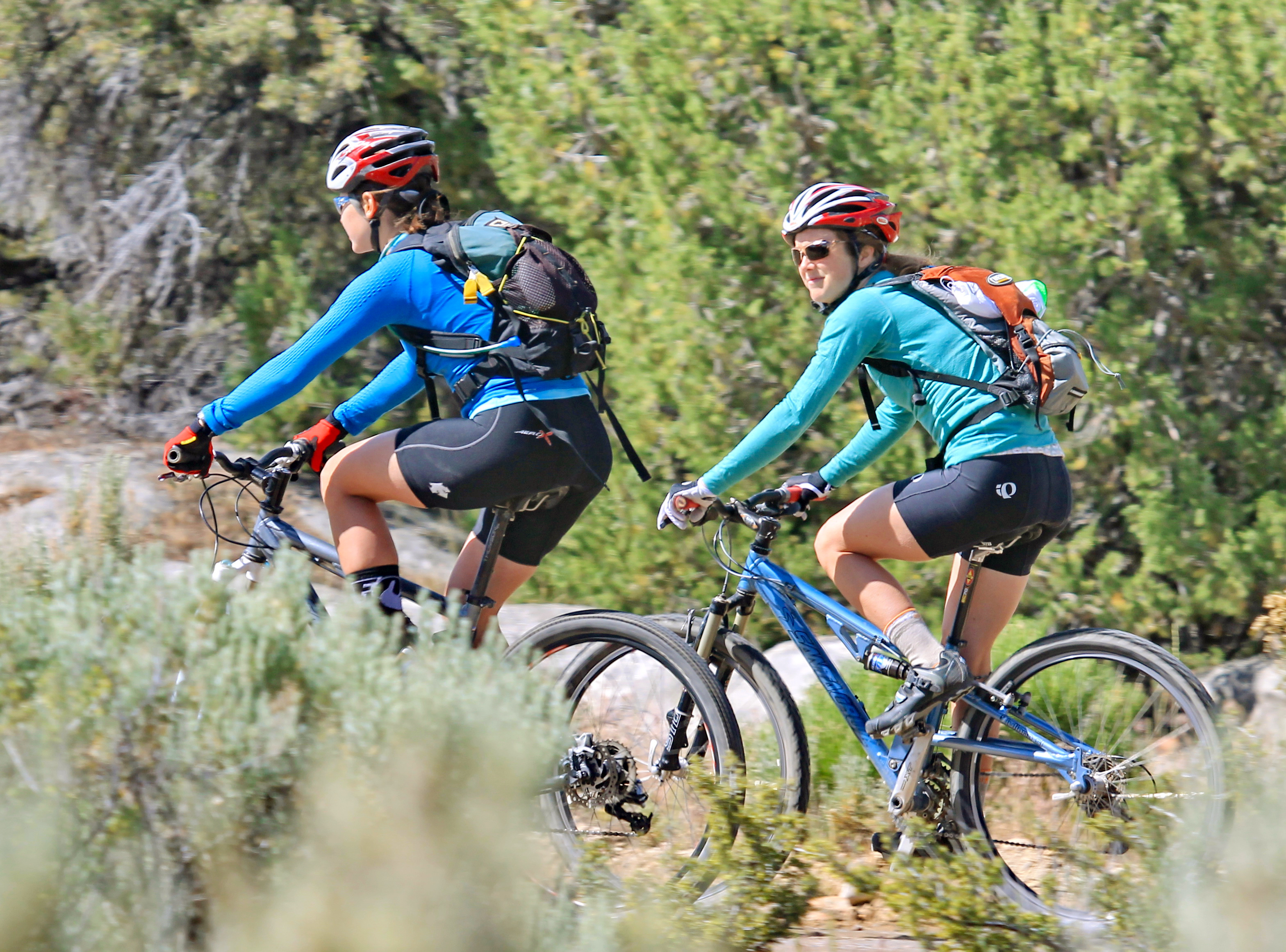
Bike the Tea Kettle Trail
Tea Kettle Trail is a great mountain biking trail that runs between Bread Loaves and Elephant Rock. The trailhead can be accessed from the Bread Loaves group camping parking lot o…
-
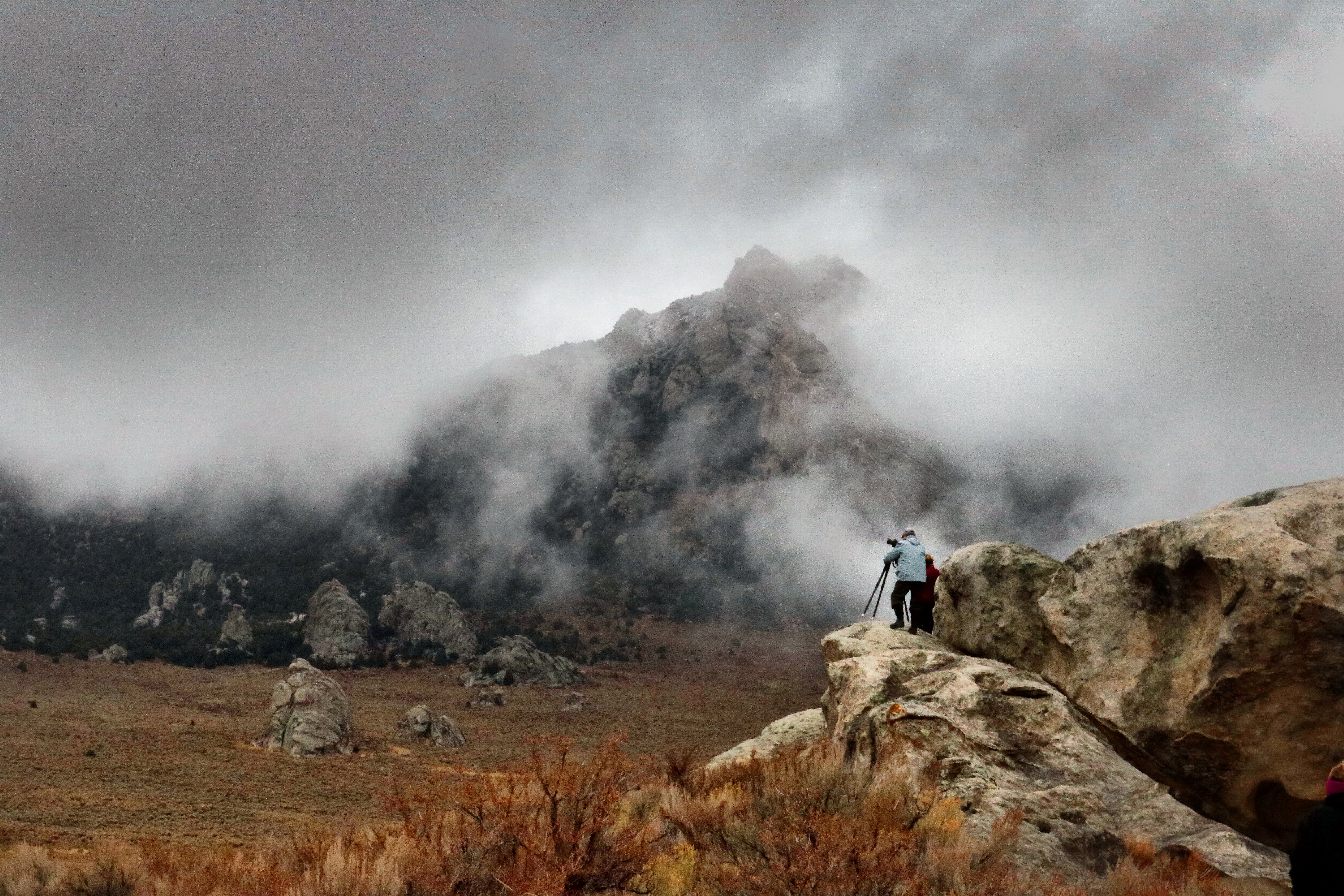
Winter Photography
Capture spectacular winter views.
-

Winter Birding
Spot over 40 species during winter months.
Campgrounds in City Of Rocks
Run by the park service. Reservable sites book on Recreation.gov; first-come sites do not.
-

City of Rocks Campground
Camping in City of Rocks is a great way to enjoy being out in nature. Relax beneath the cool shade of aspen, juniper, mountain mahogany, or pine. Spend the nig…
-

Smoky Mountain Campground
There are 38 campsites available, 9 of which are pull-through. Sites 11 and 24 are designated ADA accessible. A separate loop with 6 sites accommodates equestr…
What to pack for City Of Rocks
Gear & Essentials
Tell us about your trip and we will add what else you will want:
The basics
Worth having in the car whatever the park.
For this trip
Traveling with kids
Bringing a pet
RVing
Backcountry
Winter conditions
On the water
Photography
Accessibility
As an Amazon Associate we earn from qualifying purchases, at no extra cost to you.