











Great Smoky Mountains National Park
The Sinks
| Type | Basin |
|---|---|
| Facilities | Parking |
At a glance
- Place type: Basin and waterfall
- Location: Little River Road, Tennessee
- Facilities: Auto parking and historical or interpretive information
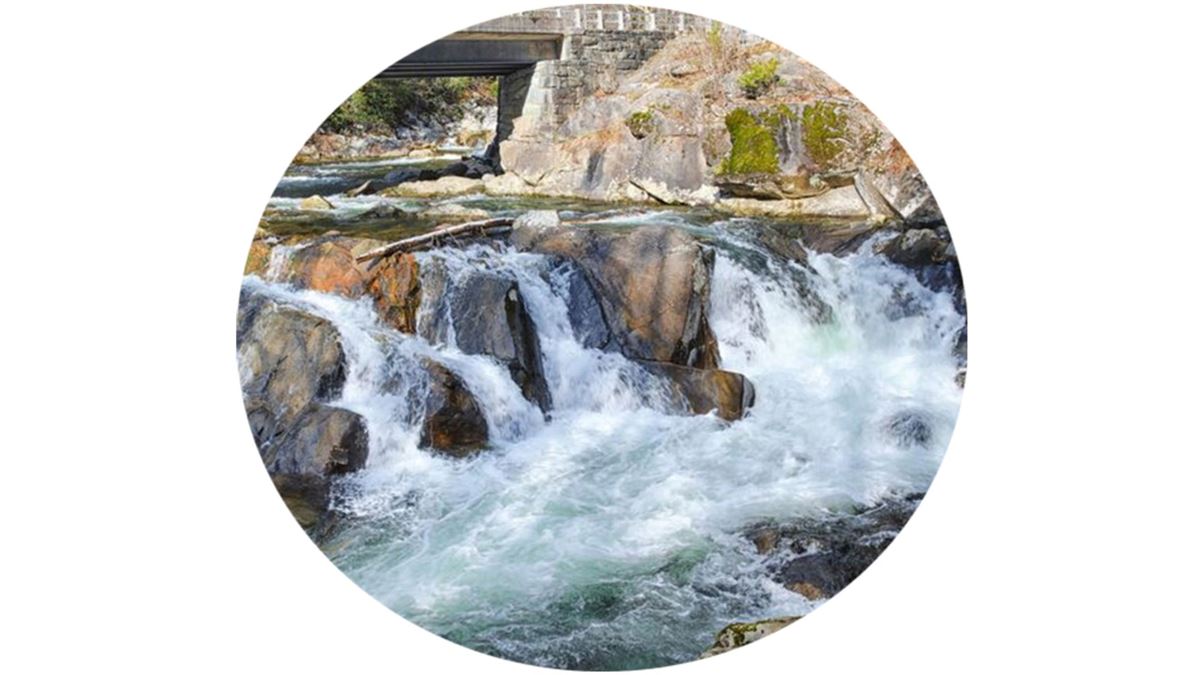
- Water feature: The Little River drops about 12 feet through a narrow sandstone gorge into a deep pool.
- Safety: Visitors have drowned here. View the waterfall only from the designated area.
Getting there
The Sinks is beside Little River Road. Its parking area and the Meigs Creek Trail trailhead are at the site.
The waterfall has no location sign. Look for red swift-water signs near the bridge and parking area.
From Gatlinburg, travel west on Little River Road. The parking area is on the left, shortly before the bridge. From Townsend Wye, travel east. The parking area is on the right, shortly after the bridge.
Sugarlands Visitor Center is about 7 miles away. Gatlinburg is about 9 miles away, Pigeon Forge about 10 miles away, and Cherokee about 23 miles away. These are straight-line distances, not driving distances.
Nearby airports include McGhee Tyson Airport and Asheville Regional Airport.
What to see and do
From the designated viewing area, watch the Little River rush through a narrow gorge and swirl into a deep pool. The turbulent water can provide dramatic photography at any water level.
The waterfall resulted from the area’s commercial logging history. After logs jammed in the Little River, loggers used dynamite to clear them. The explosion removed part of a river bend and formed The Sinks.
Meigs Creek Trail begins here and is about 3.4 miles as mapped by the National Park Service. Meigs Falls and Meigs Creek Cascade are each about 0.7 miles away.
When to go
The turbulent water can be photographed at any water level. Before visiting, check current conditions and alerts on the park’s National Park Service website.
Before you go
The water near the falls has dangerous currents, and people have drowned here. Stay in the designated viewing area and follow all posted warnings and rules.
Carry water, pack layers, and leave no trace. The parking area is directly beside Little River Road, but the site lacks a location sign.
Questions
Where is The Sinks in Great Smoky Mountains National Park?
The Sinks is along Little River Road in Tennessee, beside its parking area and the Meigs Creek Trail trailhead.
Is there parking at The Sinks?
Yes. Auto parking is available at the site.
Is it safe to swim at The Sinks?
The currents near the waterfall are dangerous, and visitors have drowned there. Use only the designated viewing area.
How was The Sinks formed?
Loggers used dynamite to clear jammed logs, blasting away part of a river bend and creating the waterfall.
What trail starts at The Sinks?
Meigs Creek Trail starts there and is about 3.4 miles as mapped by the National Park Service.
Nearby
Trails
Places
- Sinks Bridge And Trailhead Parking
- Meigs Creek Trail Trailhead
- Little River Pullout Parking at Mile Post 7.024
- Little River Pullout Parking at Mile Post 7.12
- Little River Gorge Parking #4
- Little River Pullout Parking at Mile Post 5.64
- Little River Pullout Parking at Mile Post 7.629
- Meigs Falls
On the map
4 trails30 places to see7 visitor services
Facts on this page draw on the National Park Service: The Sinks (nps.gov)