










Great Smoky Mountains National Park
Albright Grove NatureTrail Trail
| Length | about 0.6 miles as mapped by NPS |
|---|---|
| Surface | Native |
| Route | One way (out and back doubles it) |
| High point | about 3,330 ft |
| Low point | about 3,110 ft |
| Up and down (one way) | about 200 ft up, 0 ft down |
| Difficulty | Easy |
At a glance
- Area: Maddron Bald / Cosby, TN
- Difficulty: Easy
- Route type: Loop
- Stated length: 3.8 mi loop
- Mapped length: About 0.6 miles as mapped by the National Park Service
- Surface: Native
- Elevation: About 3,110 feet to about 3,330 feet
- Estimated one-way climb: About 200 feet
The mapped route is one way, with its endpoints in different places. Retracing that route would double the mapped distance.
Getting to the trailhead
The mapped route begins near the Albright Grove point of interest. It connects with Maddron Bald Trail, which is about 7.2 miles long.
Sugarlands Visitor Center is about 15 miles away. Gatlinburg, TN, is about 13 straight-line miles away. Pigeon Forge, TN, is about 16 straight-line miles away.
Cherokee, NC, is about 18 straight-line miles away. Nearby airports include McGhee Tyson Airport and Asheville Regional Airport.
On the trail
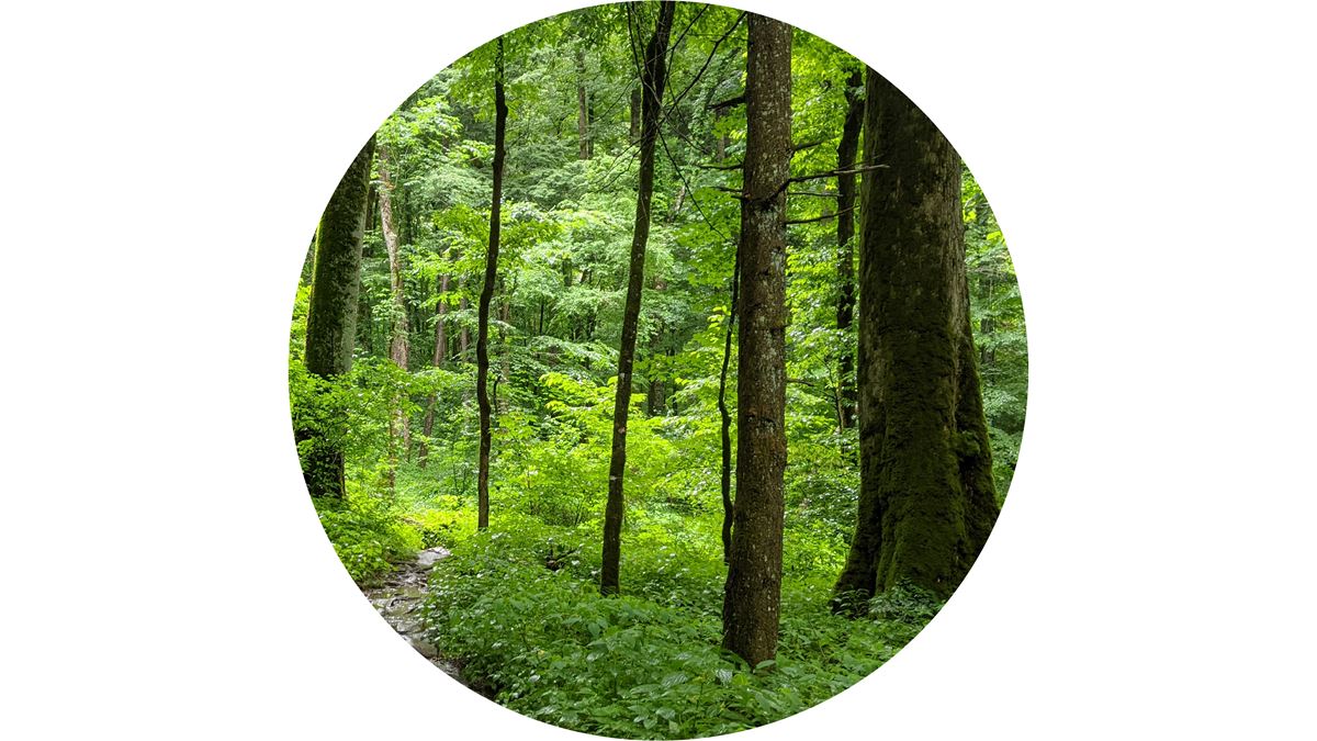
The interpretive loop winds through a quiet stand of old-growth forest. Albright Grove honors Horace Albright, who served as an NPS director.
The grove has exceptionally large eastern hemlocks and tulip poplars. Some trees reach more than 100 feet tall and measure up to 25 feet around.
The mapped route rises from about 3,110 feet near its first point to about 3,320 feet near its last point. Its highest estimated point is about 3,330 feet.
When to go
Check current conditions and alerts on the park’s NPS website before choosing a day. Pack layers for changing conditions.
Before you go
Carry water, follow posted rules, and leave no trace. Confirm current trail access and conditions on the park’s NPS website.
The stated loop distance and NPS mapped distance differ. Use current park information to plan the full outing.
Questions
How long is Albright Grove NatureTrail Trail?
It is listed as a 3.8 mi loop. The National Park Service mapped segment is about 0.6 miles.
Is Albright Grove NatureTrail Trail difficult?
The trail is rated easy.
What trees grow in Albright Grove?
The old-growth grove includes large eastern hemlocks and tulip poplars.
How much elevation does the mapped route gain?
The mapped one-way route climbs about 200 feet.
Where is Albright Grove NatureTrail Trail?
It is in the Maddron Bald / Cosby, TN, area of Great Smoky Mountains National Park.
Nearby
Trails
Places
- Albright Grove
- Albright Grove
On the map
2 trails2 places to see