











Great Smoky Mountains National Park
Balsam Mountain Nature Trail
| Length | about 0.7 miles as mapped by NPS |
|---|---|
| Surface | Native |
| Route | One way (out and back doubles it) |
| High point | about 5,320 ft |
| Low point | about 5,240 ft |
| Difficulty | Easy |
At a glance
- Length: About 0.7 miles as mapped by the National Park Service
- Route: One way between different locations; walking out and back doubles the distance
- Difficulty: Easy
- Surface: Native
- Elevation: About 5,240 feet to about 5,320 feet
- One-way elevation change: About 60 feet of climbing and about 70 feet of descent
- Permit: Not required
- Restroom: At the start
Getting to the trailhead
The route begins near Balsam Mountain Campground Ranger Station and ends near Heintooga Picnic Area. Balsam Mountain Nature Trail Parking Area is at the trail.
A restroom is available at Balsam Mountain Campground Comfort Station. Heintooga Picnic Area, the ranger station, campground, and Heintooga Overlook are about 0.1 miles away.
Sugarlands Visitor Center is about 22 miles away. Cherokee, North Carolina, is about 10 straight-line miles away. Gatlinburg is about 21 straight-line miles away.
Pigeon Forge is about 26 straight-line miles away. Nearby airports include McGhee Tyson Airport and Asheville Regional Airport.
On the trail
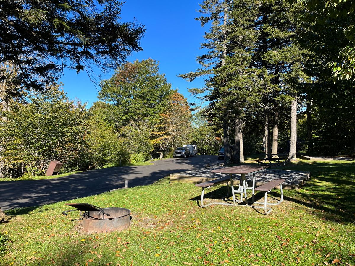
This short route follows a mostly flat path through forest. It suits families, casual walkers, and visitors seeking an easy setting for observing nature.
The first and last mapped points are each at about 5,320 feet. The estimated low point is about 5,240 feet.
The two ends are in different places. Returning to the starting point on foot doubles the mapped distance.
Flat Creek Trail begins about 0.1 miles away. It is about 2.6 miles as mapped by the National Park Service.
When to go
Check current conditions and alerts on the park’s National Park Service website before visiting.
Before you go
No permit is required. Carry water, pack layers, follow posted rules, and leave no trace.
The mapped length may differ slightly from the distance walked. Some National Park Service routes are mapped in separate pieces.
Questions
How long is Balsam Mountain Nature Trail?
It is about 0.7 miles as mapped by the National Park Service. Walking out and back doubles the distance.
Is Balsam Mountain Nature Trail difficult?
The trail is rated easy and follows a mostly flat forest route.
Where does Balsam Mountain Nature Trail start and end?
It starts near Balsam Mountain Campground Ranger Station and ends near Heintooga Picnic Area.
What is the elevation of Balsam Mountain Nature Trail?
The route ranges from about 5,240 feet to about 5,320 feet.
Is a permit required for Balsam Mountain Nature Trail?
No permit is required.
Nearby
Trails
Places
- Balsam Mountain Campground Comfort Station
- Balsam Mountain Nature Trail Parking Area
- Heintooga Picnic Area
- Flat Creek Trail Trailhead
- Balsam Mountain Campground Ranger Station
- Balsam Mountain Campground
- Heintooga Overlook
- Balsam Mountain Campground Day Parking
On the map
1 trail6 places to see4 visitor services