











Great Smoky Mountains National Park
Big Creek Trail
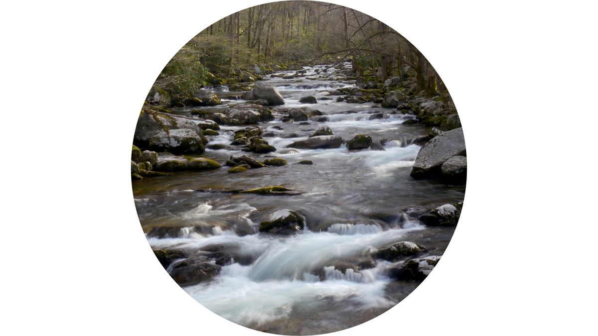
| Length | about 6.3 miles as mapped by NPS |
|---|---|
| Surface | Native |
| High point | about 3,200 ft |
| Low point | about 1,730 ft |
| Difficulty | Easy |
At a glance
- Length: About 6.3 miles as mapped by the National Park Service
- Route: Out and back
- Difficulty: Easy
- Surface: Native
- Elevation: About 1,730 feet at the lowest point and about 3,200 feet at the highest
- Features: Midnight Hole Falls
- Facilities: Parking, seasonal restrooms, seating, picnic tables, grills, trash receptacles, and pet-waste disposal
Getting to the trailhead
Begin at Big Creek Trail Trailhead. Baxter Creek Trail Trailhead and Big Creek Picnic Area are at the same location.
Big Creek Campground Parking and several restrooms are about 0.1 miles away. Sugarlands Visitor Center is about 21 miles away.
Cherokee is about 18 miles away in a straight line. Gatlinburg is about 19 miles away, and Pigeon Forge is about 22 miles away. Nearby airports include McGhee Tyson Airport and Asheville Regional Airport.
On the trail
Big Creek Trail follows an easy, out-and-back route on a native surface. Its mapped elevation ranges from about 1,730 feet to about 3,200 feet.
Midnight Hole Falls lies along the trail. Other mapped places include Big Creek Picnic Area, Baxter Creek Trail Trailhead, and Big Creek Group Camp.
A restroom is available in the trail area. Nearby connections include Big Creek Horse Trail, about 0.1 miles away, and Camel Gap Trail, about 0.5 miles away.
Swallow Fork Trail and Gunter Fork Trail are also about 0.5 miles away. Chestnut Branch Trail is about 0.6 miles away.
When to go
Big Creek Picnic Area is seasonally open from mid-April through late October, between sunrise and sunset. Check current park conditions and alerts before visiting.
Before you go
Black bears live in the park. Never approach a bear, and place food waste and garbage in bear-resistant trash containers.
Picnic-area grills are limited to charcoal. Wood fires are prohibited. Fishing requires a valid Tennessee or North Carolina license.
Pets may enter picnic areas but must remain leashed and attended. They are not permitted on Big Creek Trail. Follow posted rules, carry water, pack layers, and leave no trace.
Questions
How long is Big Creek Trail?
Big Creek Trail is about 6.3 miles as mapped by the National Park Service.
Is Big Creek Trail difficult?
The trail is rated easy and follows an out-and-back route on a native surface.
What can visitors see along Big Creek Trail?
Midnight Hole Falls is along the trail.
Are restrooms available near Big Creek Trail?
Yes. Restrooms are available nearby, including seasonal facilities in the Big Creek area.
Are pets allowed on Big Creek Trail?
No. Pets may enter picnic areas while leashed and attended, but they are not permitted on this trail.
Nearby
Trails
Places
- #36 Upper Walnut Bottom
- Big Creek Trail Trailhead
- Baxter Creek Trail Trailhead
- Big Creek Picnic Area
- Big Creek Campground Comfort Station
- Big Creek Campground Parking
- Big Creek Picnic Area Comfort Station
- Big Creek Group Camp
On the map
4 trails5 places to see9 visitor services
Facts on this page draw on the National Park Service: Big Creek Picnic Area (nps.gov)