National Park
Hot Springs National Park
- South
- 9 hikes
- 2 places to see
- 1 current alert
Current alerts
-
Notice
Burn Ban in Park
Due to high fire danger, Hot Springs National Park has enacted a BURN BAN, August 15, 2026. Only gas and charcoal grills are currently allowed for use in the campground and picnic areas.
From the National Park Service, as of November 18, 2026, 5:14 am. Check nps.gov before you go.
About Hot Springs
Hot Springs National Park has a rich cultural past. The grand architecture of our historic bathhouses is equally matched by the natural curiosities that have been drawing people here for hundreds of years. Ancient thermal springs, mountain views, incredible geology, forested hikes, and abundant creeks – all in the middle of town – make Hot Springs National Park a unique and beautiful destination.
From the National Park Service.
- Region
- South
- State
- Arkansas
- Designation
- National Park
- Entrance fee
- None listed
- Hikes on this page
- 9
- Places to see
- 2
- Articles
- 5
Know before you go
Fees, hours, weather and getting to Hot Springs.
Entrance fees
The National Park Service lists no entrance fee for this park.
Hours
Public Areas and Park Roads
- Mon
- 5:00AM - 10:00PM
- Tue
- 5:00AM - 10:00PM
- Wed
- 5:00AM - 10:00PM
- Thu
- 5:00AM - 10:00PM
- Fri
- 5:00AM - 10:00PM
- Sat
- 5:00AM - 10:00PM
- Sun
- 5:00AM - 10:00PM
Arlington Lawn, Grand Promenade, sidewalks on Bathhouse Row, Reserve Street, and Fountain Street, except for walk through traffic, are open from to 5:00 am to 10:00 pm, daily. Roads to Hot Springs Mountain, North Mountain and West Mountain Summit are open to vehicle traffic from 8:00 am to 10:00 pm.
Weather and when to go
Average temperatures in Hot Springs can range from about 90°F (32°C) to less than 27°F (-2.7°C). Summer days can be hot and humid, with heat index values up to 110ºF (43ºC). Winter wind chills can make temperatures feel much colder, as low as 15ºF (-9.4ºC). Spring and fall typically have the most rainfall. Generally, Hot Springs experiences mild weather throughout the year.
Getting there
From Little Rock: Take I-30W towards Texarkana. Exit 111 for US 70W/Hot Springs. Turn Right onto Spring St. Turn Right onto Central Ave. Drive North, the Park will be on the right after Reserve St. From Texarkana: Take 1-30E. Exit 78 for AR-7 and turn left under the highway. Follow AR-7 North for 31 miles. AR-7 becomes Central Ave., the Park will be on the right after Reserve Street.
- Gateway towns
- Hot Springs, AR
- Nearest airports
- Bill and Hillary Clinton National Airport (LIT)
Contact the park
- Address
- 369 Central Avenue, Hot Springs, AR 71901
- Phone
- (501) 620-6715
- Official site
- nps.gov/hosp
From the National Park Service, checked weekly. Fees, hours and road conditions change: confirm with the park before you go.
Trip planner
A day-by-day plan for Hot Springs
Tell us your dates and what you are into. We group the stops by where they are, so each day is one part of the park, not a zigzag.
The trails and places you save below go into your plan as must-sees.
Plan your park trip Free. No account needed.
Where to stay for Hot Springs
The gateway towns, closest first. Add your dates in the planner to search for your own nights.
-
Hot Springs, AR Closest
-
Guided tours and trips
National Park Getaways participates in affiliate programs. We may earn a commission when you buy through our links, at no extra cost to you.
Things to do in Hot Springs
The park service's own list, with how long each takes.
-
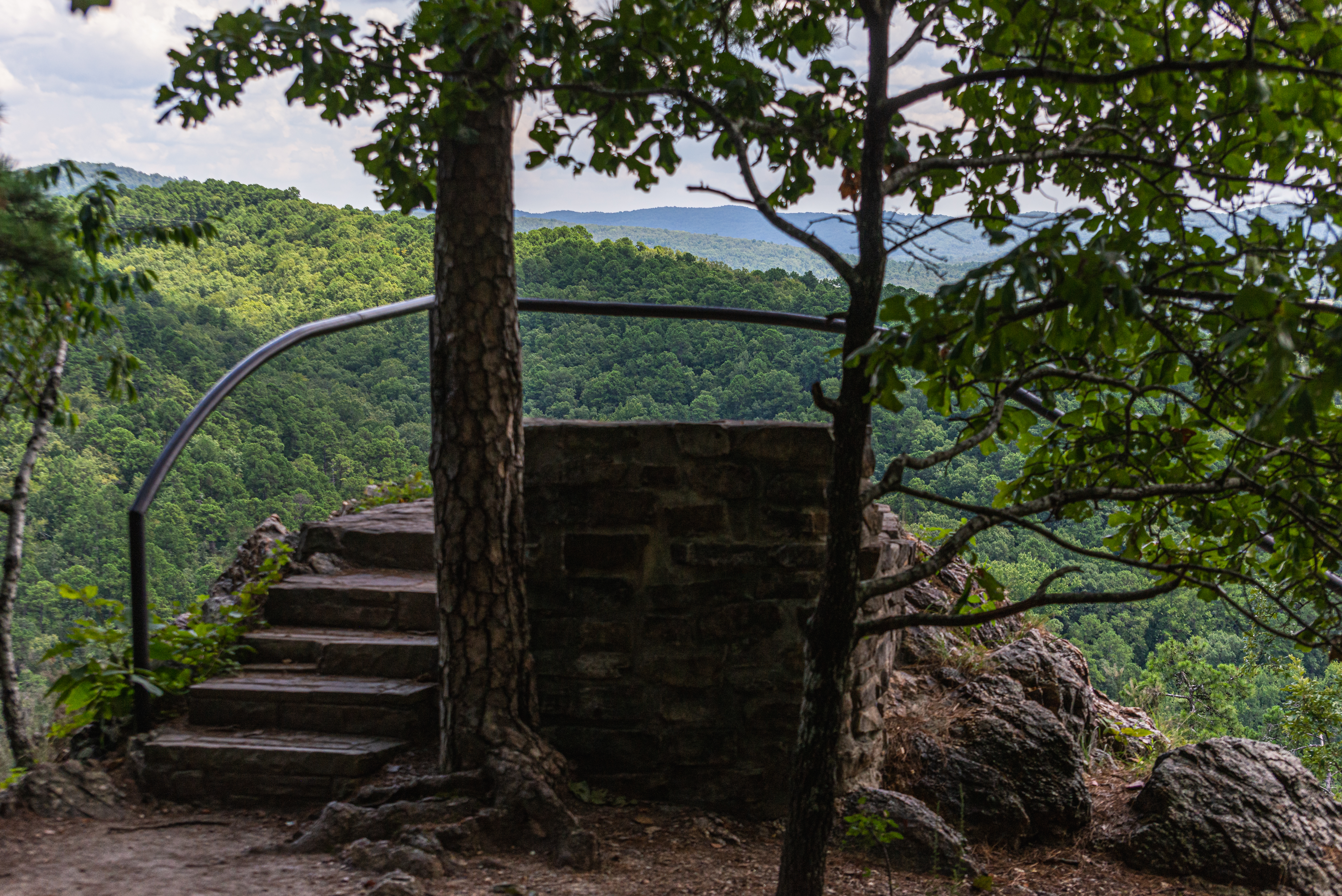
Goat Rock Trail
The Goat Rock trail offers stunning views of the Ouachita Mountains and the recharge zone for the thermal springs. Limited parking is available at the overlook on North Mountain.…
-
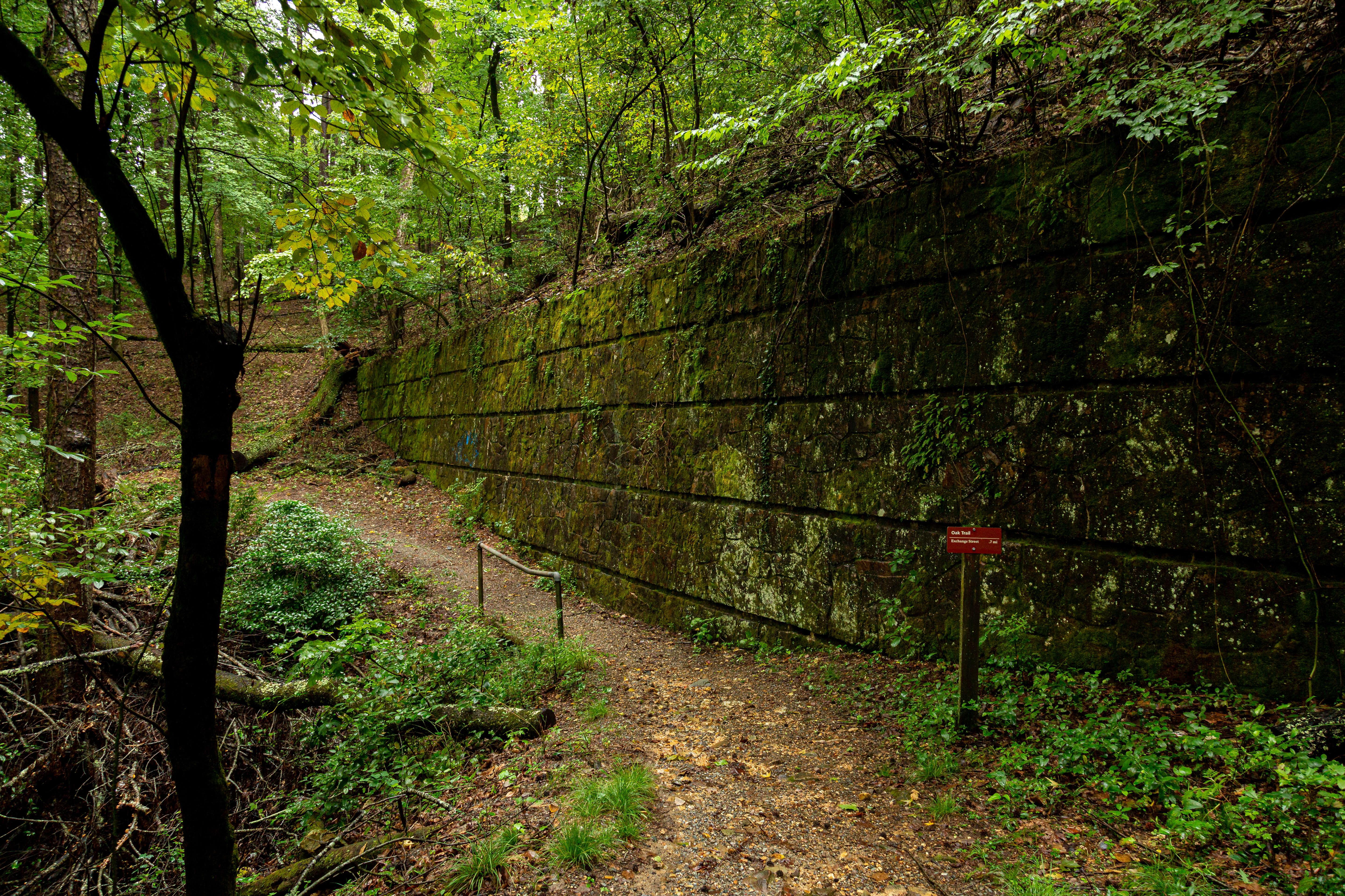
Oak Trail
The northeastern end of Oak Trail is mostly flat. The trail is fairly steep for a short distance between West Mountain Trail and West Mountain Drive.
-
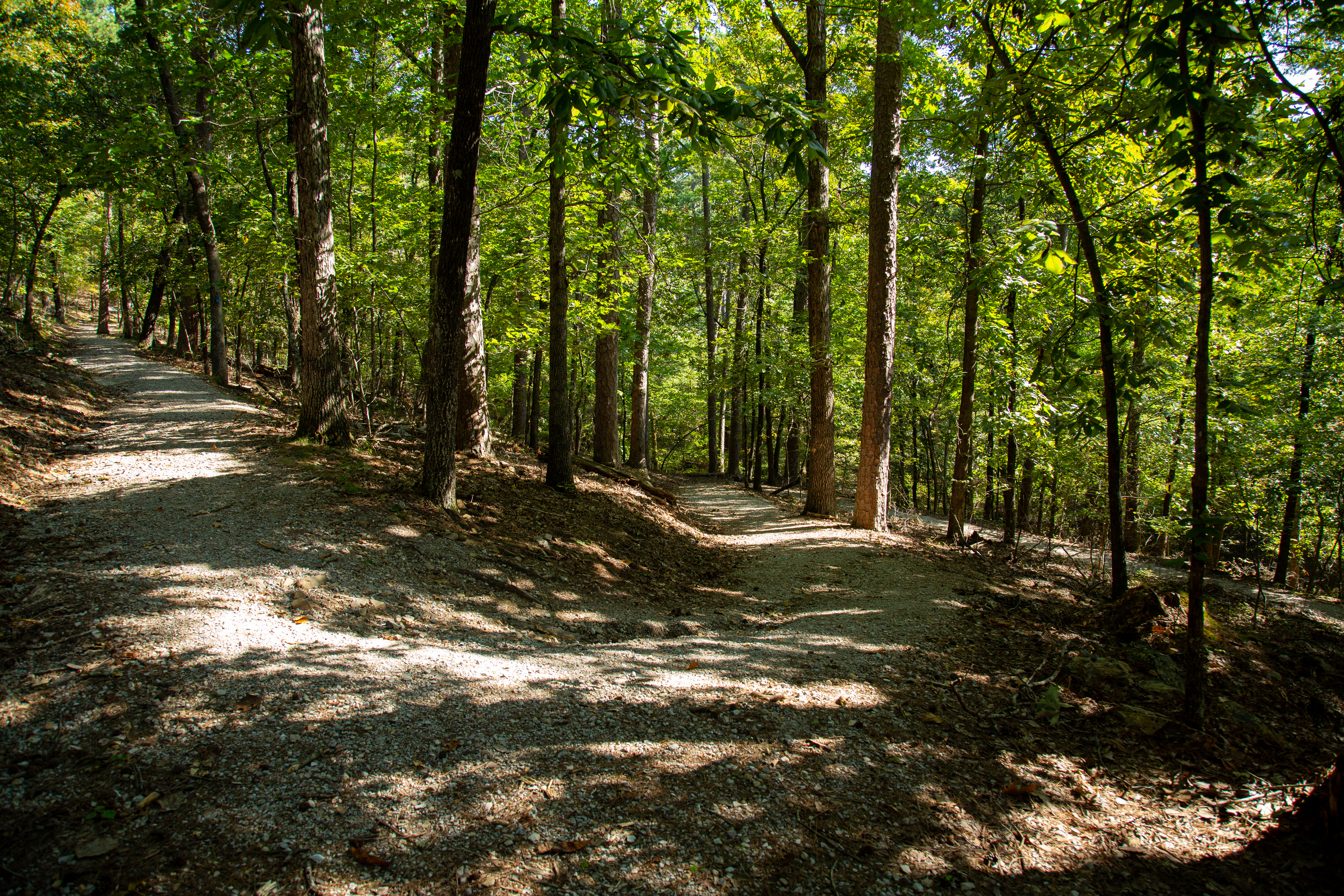
An Overview: Hot Springs and North Mountain Trails
The Hot Springs and North Mountain trails are popular since they are easy to reach and provide scenic views. You can get to these trails via Stephen’s Balustrade (grand staircase)…
-
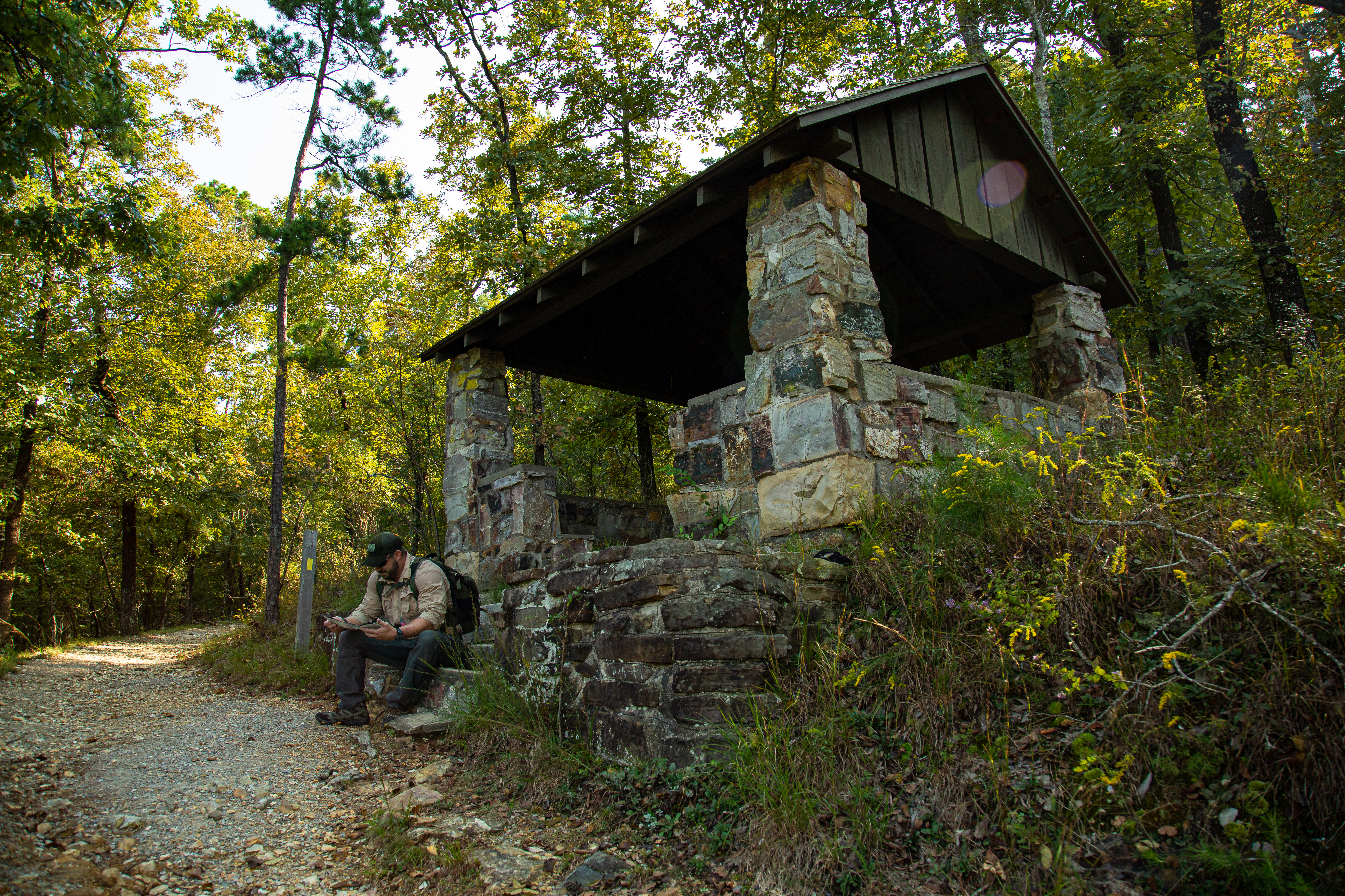
Honeysuckle Trail
Honeysuckle Trail connects Peak Trail with Hot Springs Mountain Trail.
-
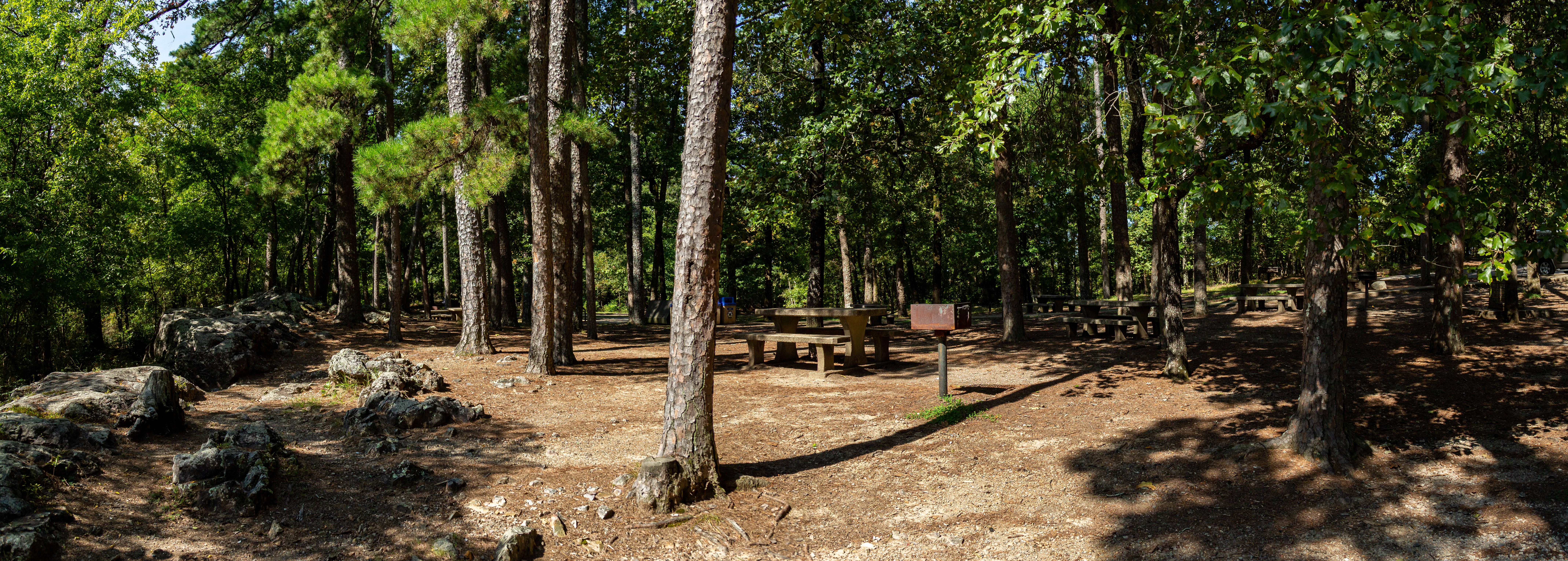
Short Cut Trail
Short Cut Trail connects Oertel Trail with Hot Springs Mountain Trail near the picnic area atop Hot Springs Mountain.
-
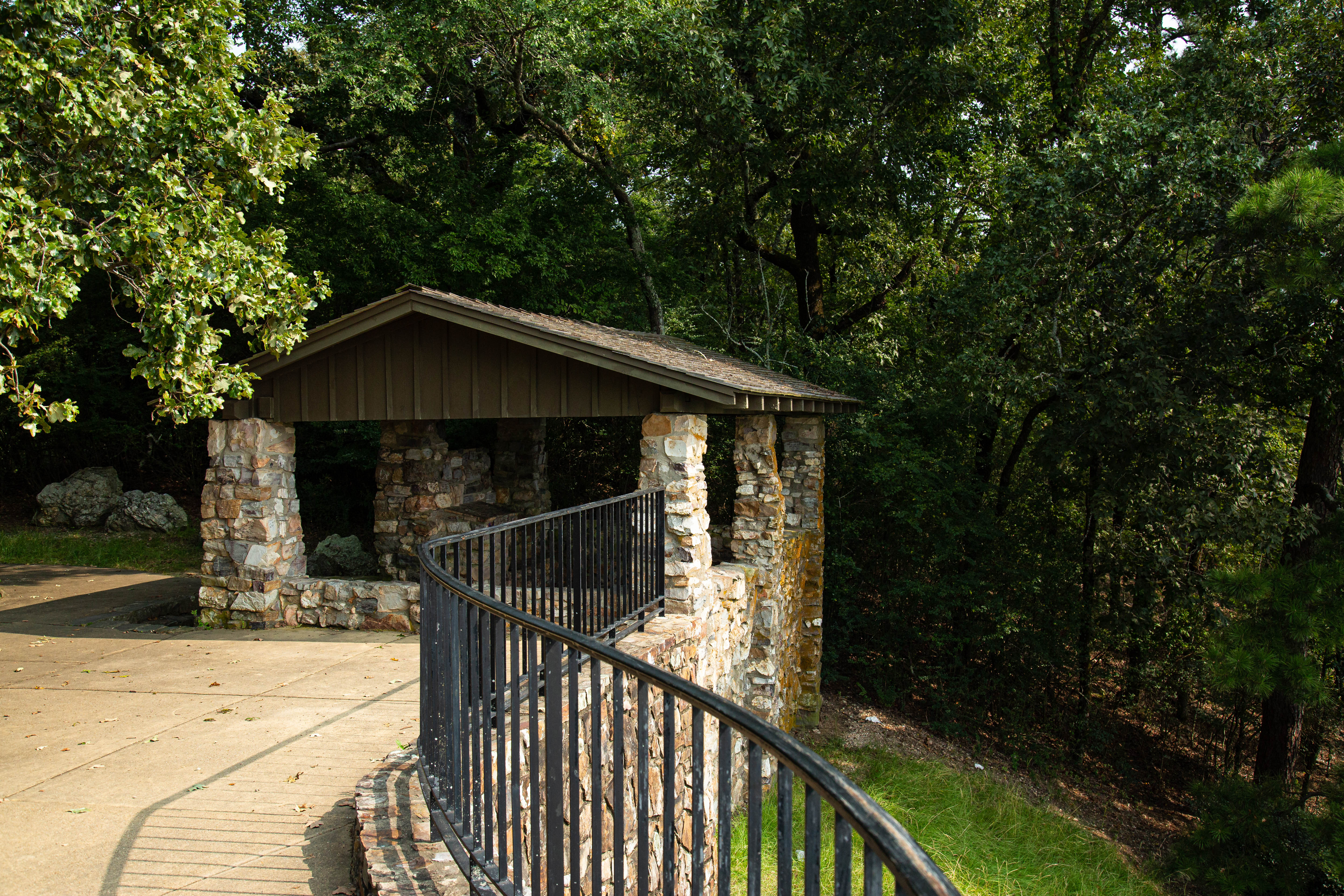
West Mountain Trail
Both sections of West Mountain Trail have gradual change in elevation. Note: West Mountain Trail can be made into a loop by using Mountain Top Trail (elevation change: 400 feet in…
-
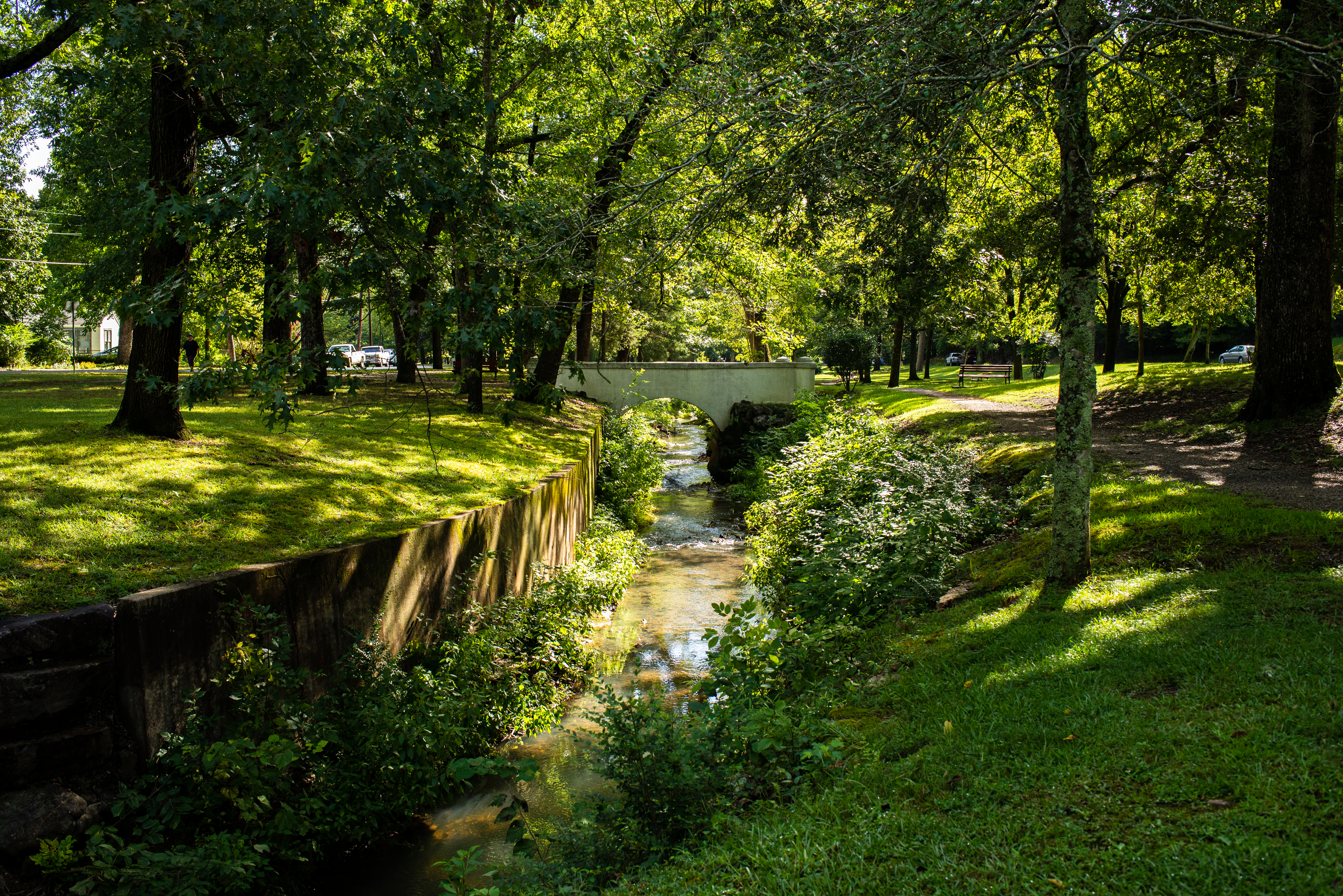
Whittington Trail
The flat, gravel trail is popular with joggers and walkers. Whittington Trail loops around Whittington Park.
-
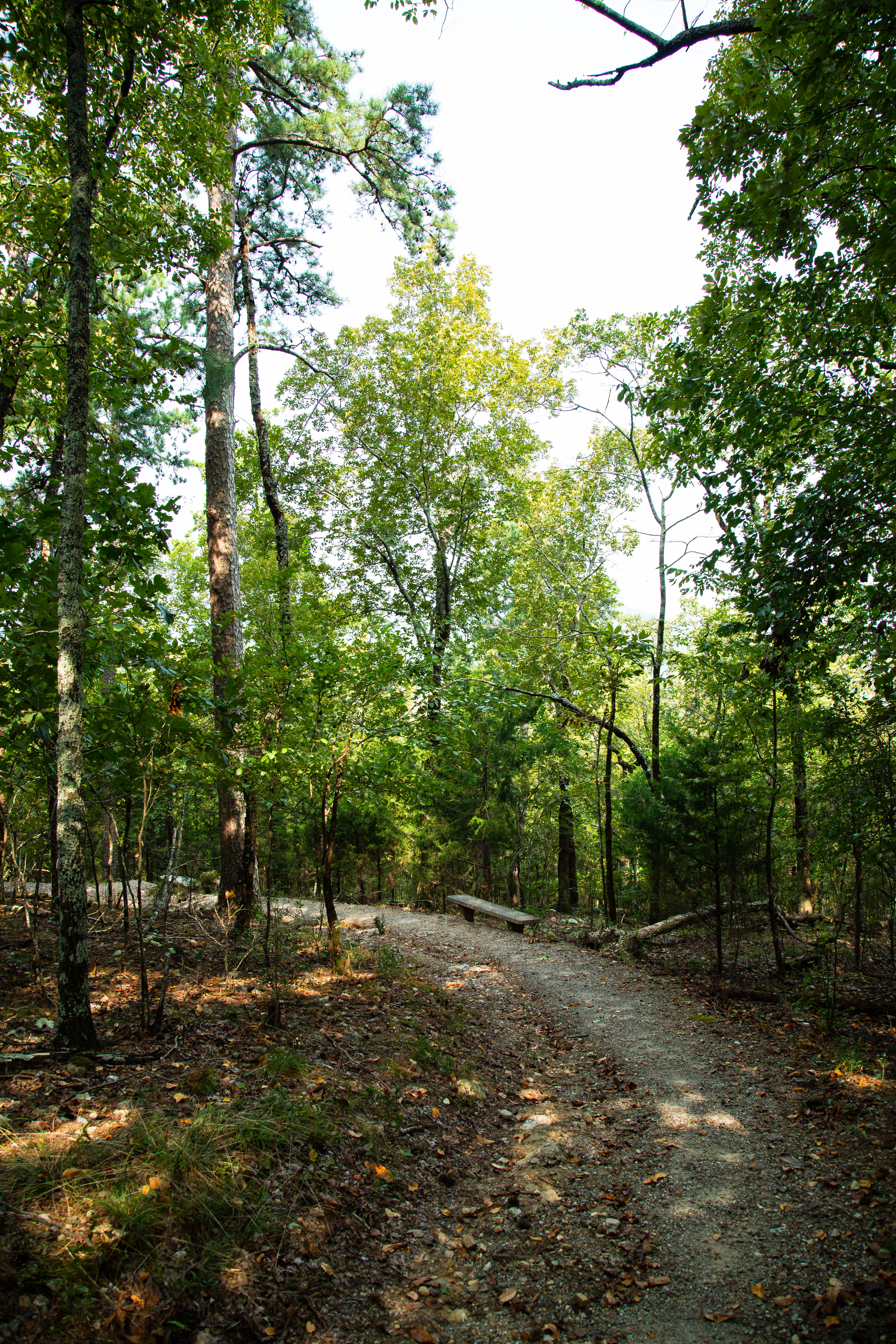
Mountain Top Trail
Mountaintop trail can be linked with Canyon Trail and West Mountain trail to complete a loop around West Mountain. If hiking southward, the trail is strenuous, as it gains elevati…
-
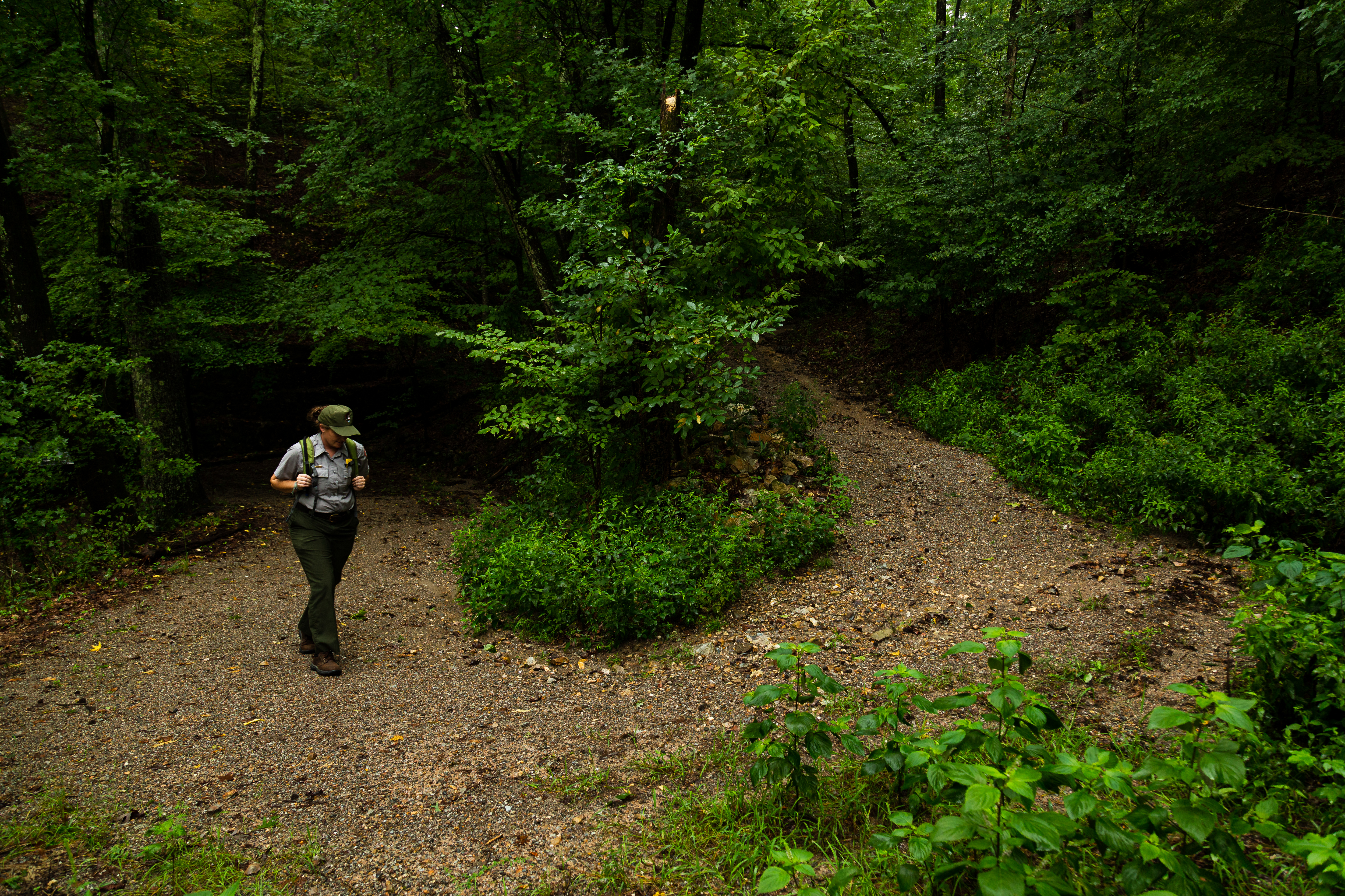
Canyon Trail
The West Mountain trails can be reached from downtown via Canyon Trail. The trailhead is behind the Mountain Valley Water building. The section between West Mountain Drive and Wes…
Hot Springs on the map
18 trails2 visitor services
Places to see
Visitor centers & lodging
Campgrounds in Hot Springs
Run by the park service. Reservable sites book on Recreation.gov; first-come sites do not.
-

Gulpha Gorge Campground
Camping at Gulpha Gorge Campground costs $34 per night for all sites. All sites have full hookups: 30 and 50 amp electric, water and sewer connections. Sites a…
Reading about Hot Springs
What to pack for Hot Springs
Gear & Essentials
Tell us about your trip and we will add what else you will want:
The basics
Worth having in the car whatever the park.
For this trip
As an Amazon Associate we earn from qualifying purchases, at no extra cost to you.