About Saint Croix
Grab your paddle and your longing for adventure and head to the St. Croix and Namekagon rivers! Together they form the St. Croix National Scenic Riverway, offering over 200 miles of clean water that glides and rushes through a forested landscape. Paddle, boat, fish, and camp among this wild and scenic beauty. Hiking and historic towns also beckon.
From the National Park Service.
- Region
- Midwest
- States
- Wisconsin and Minnesota
- Designation
- National Scenic Riverway
- Entrance fee
- None listed
- Trail data for this park is still being added.
- Places for this park are still being added.
Know before you go
Fees, hours, weather and getting to Saint Croix.
Entrance fees
The National Park Service lists no entrance fee for this park.
Hours
St. Croix National Scenic Riverway
Open 24 hours a day, every day.
The St. Croix and Namekagon rivers are open all-day, year-round except for periods of dangerous water conditions. Access to landings and trails is seasonal.
Weather and when to go
Access to the Riverway is year-round. Early spring temperatures can reach into the 40's resulting in high, fast, and cold water from melting snow and ice. Summers are warm and humid. Severe weather can be experienced anytime from mid-spring through late summer. Fall colors begin in late September with high temperatures averaging in the 60's. Winter can set in early with high temperatures in the teens, lows falling below zero, and occasional heavy snow. The rivers can begin to freeze over by early December.
Getting there
The St. Croix National Scenic Riverway stretches for over 200 miles in northwest Wisconsin and east-central Minnesota. The Namekagon River flows entirely in Wisconsin while the St. Croix River serves as a border between the two states for much of its length. With many different access points there are numerous opportunities for day trips as well as multi-day paddling adventures. Visitor centers are located on the Namekagon River in Trego, Wisconsin, and on the St. Croix River in St. Croix Falls, Wisconsin.
Contact the park
- Address
- 401 North Hamilton Street, St. Croix Falls, WI 54024
- Phone
- (715) 483-2274
- SACN_Info@nps.gov
- Official site
- nps.gov/sacn
From the National Park Service, checked weekly. Fees, hours and road conditions change: confirm with the park before you go.
Trip planner
A day-by-day plan for Saint Croix
Tell us your dates and what you are into. We group the stops by where they are, so each day is one part of the park, not a zigzag.
The trails and places you save below go into your plan as must-sees.
Plan your park trip Free. No account needed.
Things to do in Saint Croix
The park service's own list, with how long each takes.
-
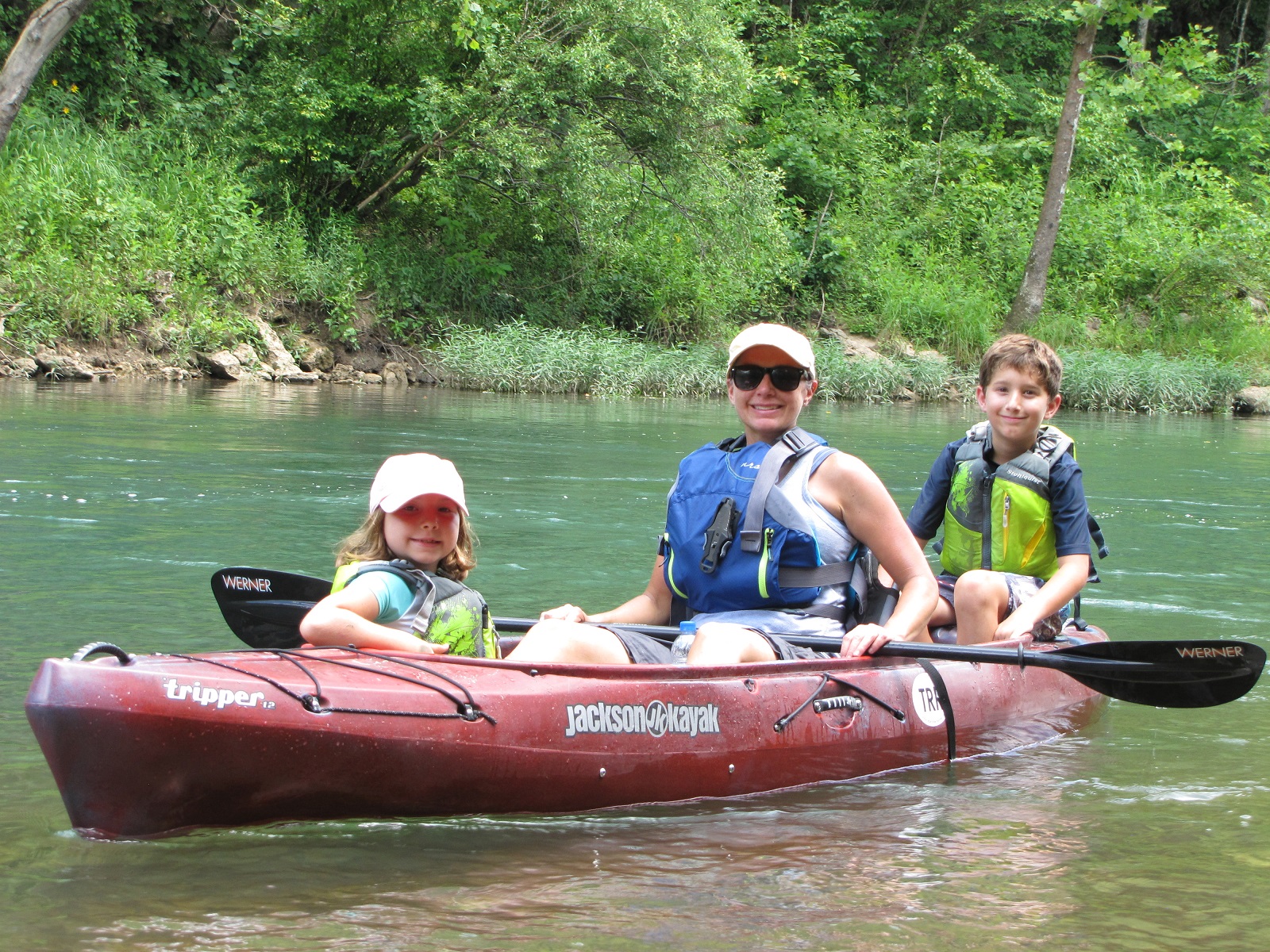
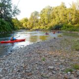
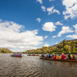
Paddling The Riverway
Paddling the rivers of the St. Croix National Scenic Riverway.
-
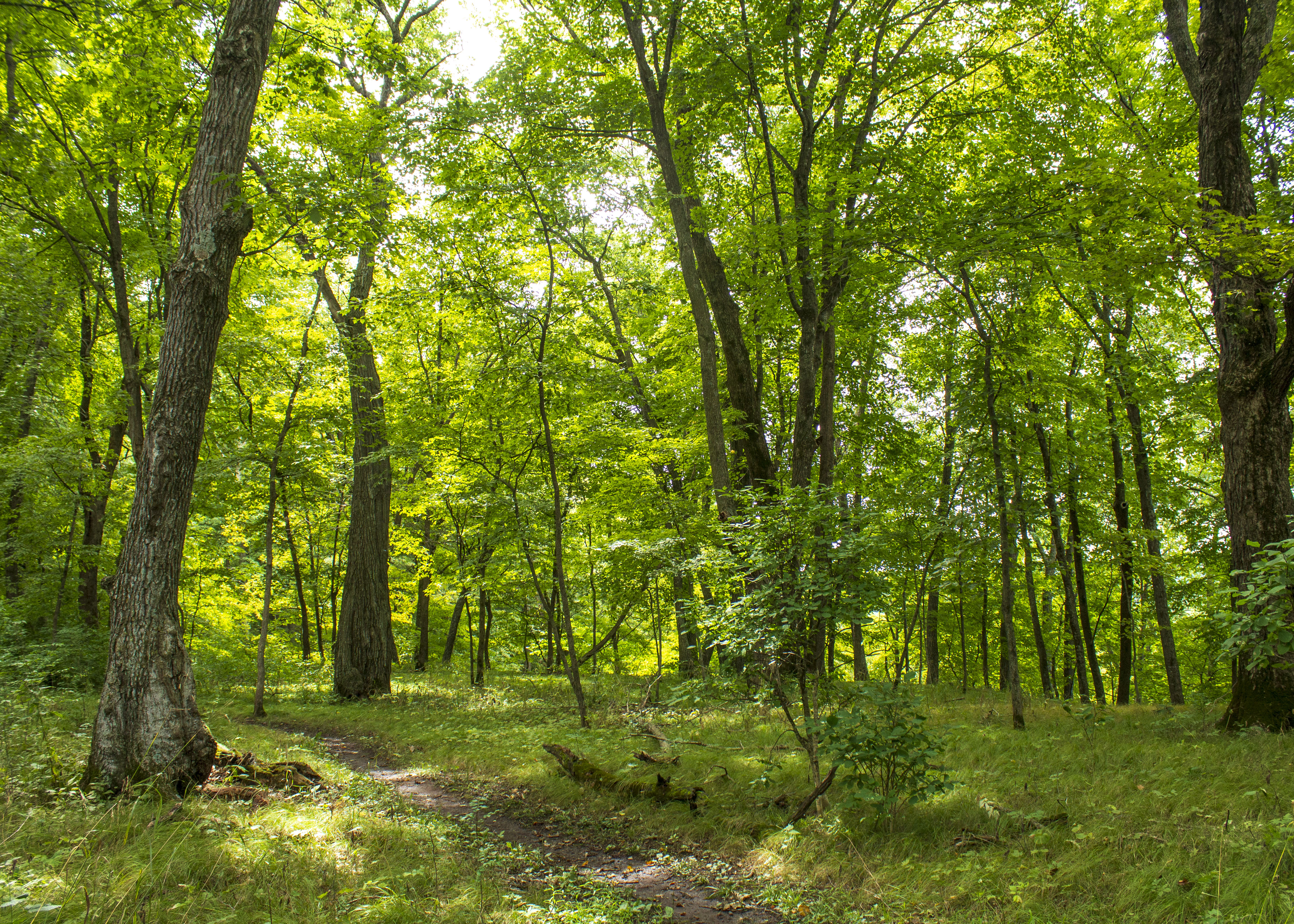
Explore the Ridge View Trail, Osceola Loop
The Osceola Loop of the Ridge View Trail winds through a dappled forest high above the St. Croix River.
Campgrounds in Saint Croix
Run by the park service. Reservable sites book on Recreation.gov; first-come sites do not.
-

Namekagon District
67, primitive, Leave No Trace camp sites are located on the Namekagon River from Namekagon Dam to the confluence of the St Croix River and on the St. Croix Riv…
-

Middle St. Croix
57, primitive, Leave No Trace campsites are located on the St. Croix River from Riverside Landing to Highway 8 at St. Croix Falls - Taylors Falls. All sites ar…
-

Lower St. Croix District
19, primitive, Leave No Trace campsites are located on this reach from below Highway 8 down to the Boom Site Landing near Stillwater, Minnesota. An annual camp…
What to pack for Saint Croix
Gear & Essentials
Tell us about your trip and we will add what else you will want:
The basics
Worth having in the car whatever the park.
For this trip
Traveling with kids
Bringing a pet
RVing
Backcountry
Winter conditions
On the water
Photography
Accessibility
As an Amazon Associate we earn from qualifying purchases, at no extra cost to you.