










Mill Prong Trail
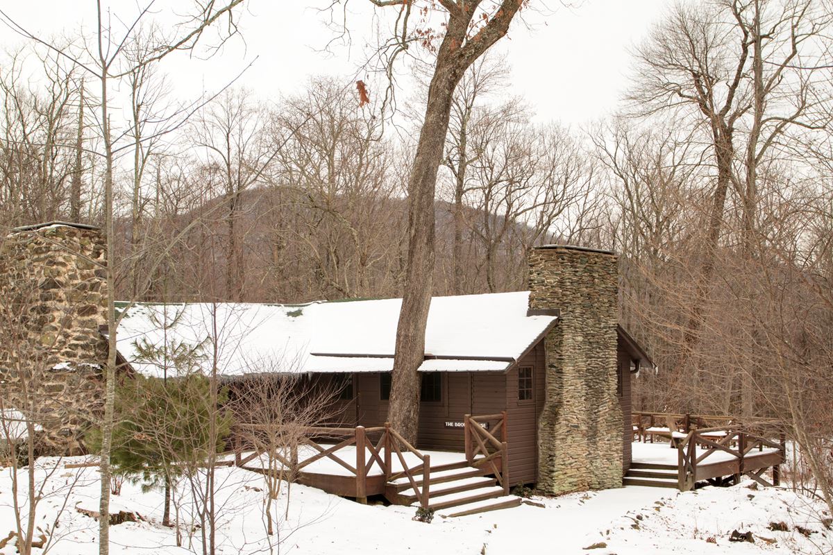
| Length | about 1.0 mile as mapped by NPS |
|---|---|
| Surface | Earth |
| Open to | Hiking |
| Route | One way (out and back doubles it) |
| High point | about 3,250 ft |
| Low point | about 2,850 ft |
| Up and down (one way) | about 10 ft up, 390 ft down |
| Difficulty | Easy |
Mill Prong Trail is a trail in Shenandoah National Park.
Nearby
On the map
20 trails13 places to see7 visitor services
Facts on this page draw on the National Park Service: Mill Prong - Laurel Prong Loop (nps.gov)