Yosemite National Park in Spring: What to Expect and What to Do
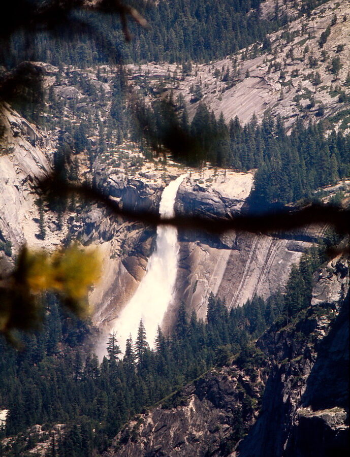
Photo: Ladycliff via Flickr (CC BY 2.0)
A Yosemite National Park spring morning at Lower Yosemite Fall begins with cold spray drifting across the footbridge and the continuous rumble of snowmelt striking the rocks below. At dawn, the paved trail can feel damp underfoot, while the upper waterfall catches sunlight nearly 2,425 feet above Yosemite Valley. The air beside the falls may be several degrees cooler than the nearby meadow, and the granite walls make the water sound closer and heavier than it appears from the road.
Spring combines Yosemite’s strongest waterfall season with unsettled weather and uneven access. Yosemite Valley, Wawona, and Hetch Hetchy often become usable weeks before Glacier Point, Tioga Road, and the high country. Our team treats March, April, May, and early June as distinct planning periods because snow depth, river volume, trail conditions, road openings, and crowds change quickly.
Why Spring Conditions Vary So Much
Elevation creates several seasons at once
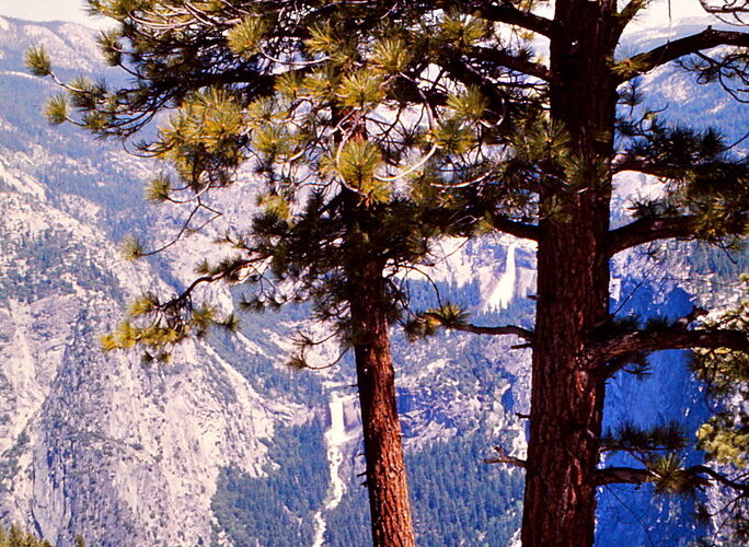
Yosemite Valley sits near 4,000 feet, while Glacier Point reaches 7,214 feet and Tuolumne Meadows is around 8,600 feet. A warm afternoon among Valley oaks can coincide with deep snow at Glacier Point and winter conditions along Tioga Road. South facing slopes generally melt first. Shaded trails beneath north facing cliffs retain ice, compacted snow, and fallen debris longer, especially around the upper portions of the Yosemite Falls and Four Mile trails.
This elevation range also affects vegetation. Pacific dogwoods commonly flower in the Valley during spring, although timing varies with temperature. Black oaks begin leafing out as meadows turn green, while lodgepole forests in the high country remain snowbound. Waterfalls respond to snowpack and warming temperatures rather than a fixed calendar, so a cool April may delay peak runoff into May or June.
Water shapes the spring experience
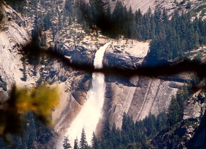
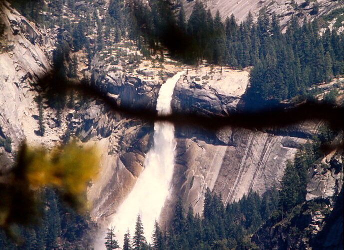
Yosemite Falls, Bridalveil Fall, Vernal Fall, and Nevada Fall usually carry their greatest volume during the snowmelt period. Yosemite Falls is especially sensitive to annual snowpack and can weaken dramatically later in summer. Vernal Fall, 317 feet high, and Nevada Fall, 594 feet high, are fed by the Merced River and tend to remain more substantial, although their flow also rises sharply during spring runoff.
High water changes trail conditions as well as scenery. Mist Trail steps beside Vernal Fall become soaked and slippery, while spray can drench clothing within minutes. The Merced River runs cold, fast, and opaque with turbulence. Banks that appear calm can be undercut, and smooth granite near cascades provides little traction. Entering swift water or climbing beyond railings is especially hazardous during runoff.
What to Expect Month by Month
Choosing Between Early, Mid, and Late Spring in Yosemite National Park
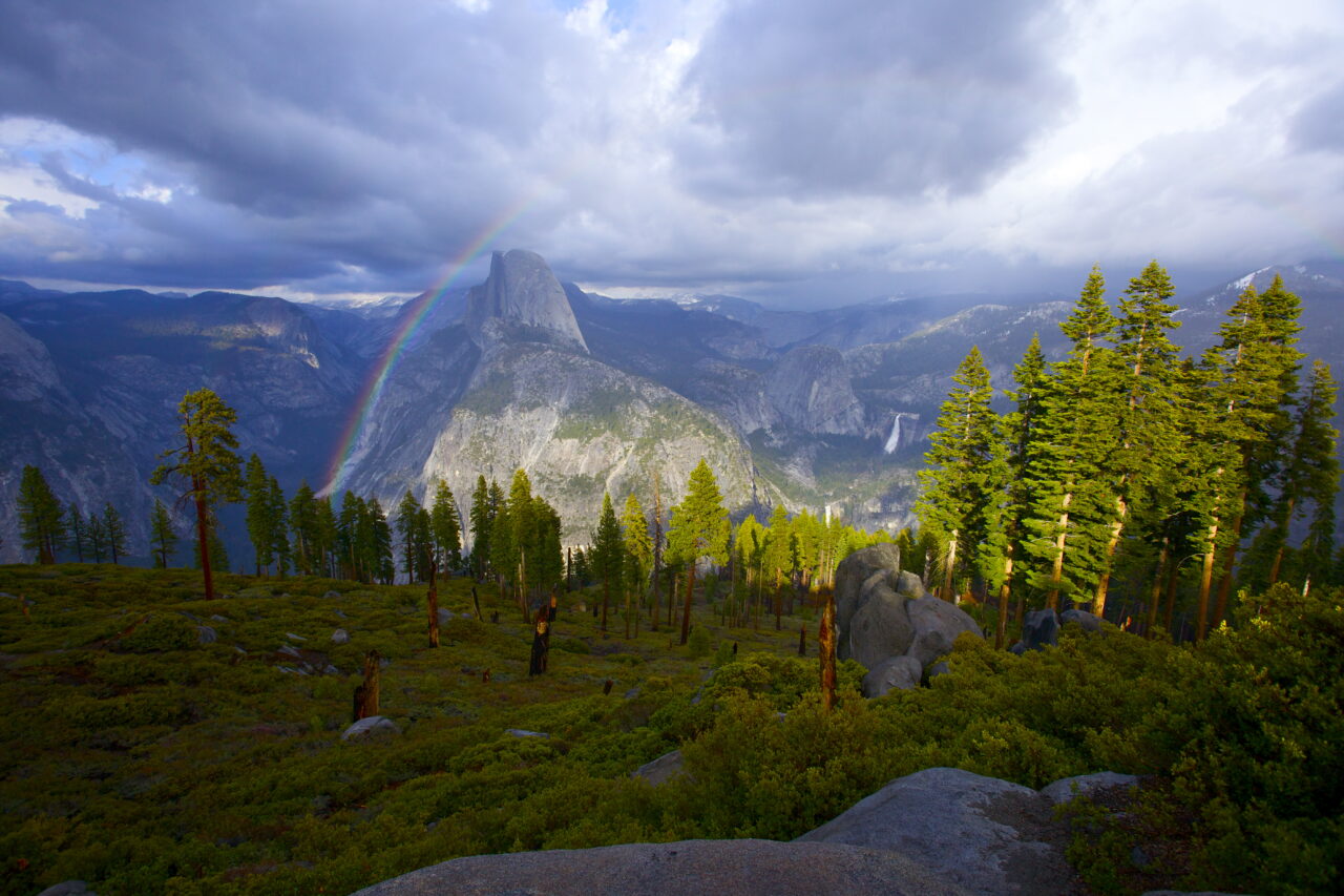
Early spring favors quiet Valley walks and storm photography, but snow and ice restrict many elevated trails. Mid spring usually provides the best balance of active waterfalls, green meadows, and improving access. Late spring brings longer days and more open trails, along with heavier traffic and greater demand for lodging, campsites, and wilderness permits.
| Period | Typical conditions | Crowds | Likely access | Best suited to |
|---|---|---|---|---|
| March to early April | Cold nights, rain or snow in the Valley, substantial mountain snowpack | Low on weekdays, higher during school breaks | Valley and lower elevations are the practical focus | Photography, short walks, storm watching |
| Mid April to mid May | Rapid snowmelt, powerful waterfalls, variable temperatures | Moderate, with busy weekends | More Valley trails open, but high roads commonly remain closed | Waterfalls, cycling, meadow walks |
| Late May to early June | Milder Valley weather, high runoff, lingering snow above roughly 7,000 feet | High, especially on weekends | Lower trails expand, while high country access depends on snow removal | Longer hikes and broader sightseeing |
March and early April
March often behaves like winter. Daytime temperatures in Yosemite Valley may be comfortable in sunshine, but storms can cover roads and trails overnight. Lower Yosemite Fall, Cook’s Meadow, Valley Loop Trail, and sections of the paved bicycle network are practical objectives when surfaces are clear. Mirror Lake can hold more water than it does later in the year, reflecting Half Dome from the eastern end of the Valley.
Late April through May
Late April and May usually deliver the classic spring combination of green Valley meadows and forceful waterfalls. The 1.6 mile round trip to the Vernal Fall Footbridge gains about 400 feet and gives a strong view into the Merced River gorge. Continuing toward the top of Vernal Fall increases the outing to roughly 2.4 miles round trip with about 1,000 feet of climbing, but wet steps and seasonal trail routing can make it substantially harder.
Memorial Day is a major crowd threshold
Visitor volume rises sharply around the late May holiday even when Tioga Road and Glacier Point Road remain closed. Parking areas in Yosemite Valley may fill early, and congestion can add considerable time to short drives. Arriving before breakfast or entering later in the afternoon improves the odds of parking once, then using the pedestrian paths, bicycle routes, or available park transportation.
Roads, Trails and Permits in Spring
High country roads open after snow removal
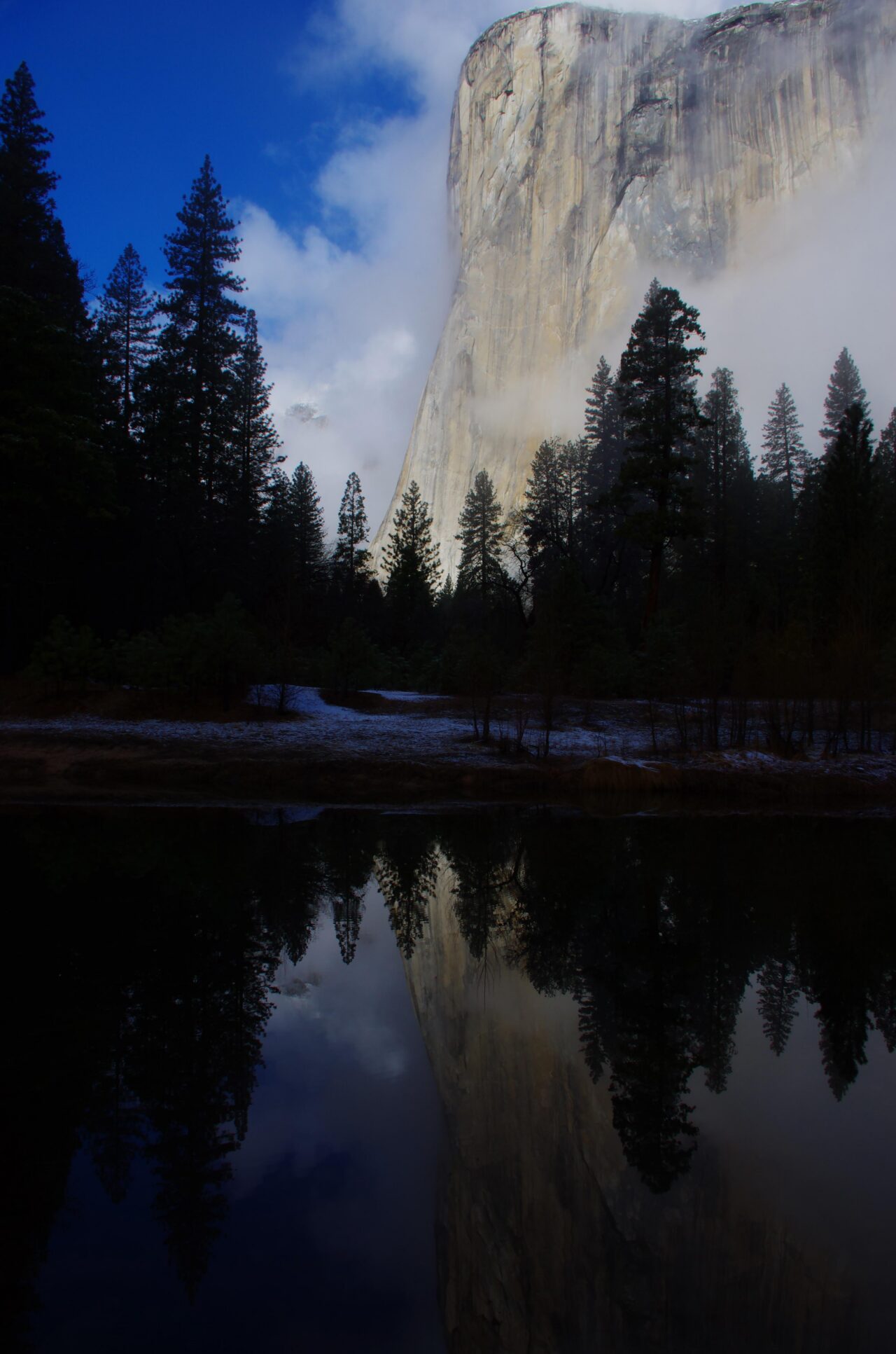
Tioga Road crosses the Sierra at Tioga Pass, 9,945 feet, and normally remains closed through much or all of spring. Its opening depends on snow depth, avalanche hazards, road repairs, and plowing progress. Travelers cannot use it to enter Yosemite from the eastern Sierra while it is closed. Glacier Point Road is also seasonal, leaving Glacier Point, Sentinel Dome, and Taft Point inaccessible by vehicle until clearance work is complete.
Western approaches on Highways 140, 41, and 120 generally provide the principal spring access, although storms, rockfall, chain controls, or construction can interrupt travel. Highway 140 follows the lower Merced River corridor and avoids the higher entrance elevations reached by the other western routes. Carry tire chains when required and check road conditions before leaving the final gateway community.
Trail openings do not follow the road calendar
A trail can remain icy or blocked after nearby roads and Valley paths are clear. Four Mile Trail, which climbs from Yosemite Valley toward Glacier Point, commonly retains hazardous snow on upper switchbacks. The Upper Yosemite Fall Trail gains about 2,700 feet and crosses exposed slopes where heat, ice, and runoff may occur during the same hike. Seasonal closures and detours can also affect Mist Trail sections near Vernal and Nevada falls.
Reservations depend on the activity
Park entry reservations have been used for selected dates in some years, while wilderness trips and Half Dome hikes have separate permit systems. The Half Dome cables are generally installed only after winter conditions ease, so early spring visitors should not build an itinerary around the cable route. Campgrounds and lodging often fill first for May weekends. Confirm current entrance rules, permit dates, road status, and campground availability on the official park site before booking nonrefundable travel.
How to Choose the Right Spring Window for Yosemite National Park
Match the trip to your highest priority
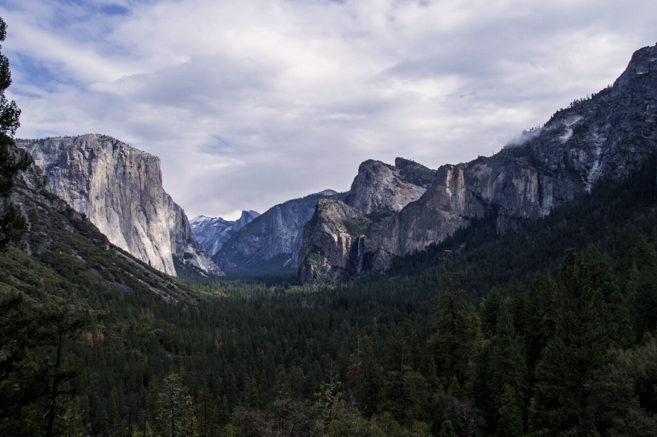
The strongest planning method is to decide which experience matters most, then accept the associated limitations. Waterfall volume, solitude, warm hiking weather, and high country access rarely peak together. Use the following priorities to narrow the dates:
- For waterfalls: Target the main snowmelt period, commonly May into early June, while allowing for annual snowpack differences.
- For fewer people: Choose March or April weekdays and prepare for winter driving and restricted trails.
- For Valley hiking: Late April and May usually provide more options, but shaded routes may retain ice.
- For Tioga Road or Tuolumne Meadows: Plan outside spring unless the trip can tolerate an uncertain opening date.
- For wildflowers: Follow elevation, beginning with lower Merced River and Hetch Hetchy locations before blooms progress uphill.
Crowds change the practical shape of a day
Spring congestion is concentrated rather than uniform. Lower Yosemite Fall, Tunnel View, Bridalveil Fall, and the Mist Trail corridor receive heavy use from late morning through midafternoon, while longer sections of Valley Loop Trail remain quieter. A useful strategy is to walk a popular waterfall trail at first light, leave the vehicle parked, and spend midday exploring Cook’s Meadow, the Merced River banks, or the quieter western Valley paths.
How Spring Compares With Yosemite’s Other Seasons
Yosemite National Park Spring trips emphasize waterfalls, changing weather, and lower elevation exploration. Summer provides broader high country access, autumn brings cooler hiking conditions and lighter weekday traffic, and winter concentrates travel in Yosemite Valley and designated snow recreation areas. The best season depends on how much access certainty the itinerary requires.
A four season comparison
The table below compares the conditions that most directly affect trip planning. Exact transition dates shift with snowfall, runoff, wildfire activity, and the timing of seasonal road openings.
| Season | Crowds | Weather | Road and trail access | Strongest activities |
|---|---|---|---|---|
| Spring | Low to moderate early, heavy around May weekends | Cold storms, mild Valley afternoons, high runoff | Valley routes expand gradually; high roads commonly remain closed | Waterfalls, photography, cycling, lower elevation hiking |
| Summer | Highest overall | Warm and generally dry, with heat in lower areas | Broadest access, including the high country after roads open | Backpacking, alpine hiking, Tuolumne Meadows |
| Autumn | Moderate, then lower after October | Cool nights, shorter days, early snow possible | Usually broad at first, then reduced by storms | Long hikes, quieter sightseeing, black oak color |
| Winter | Lowest outside holidays | Snow, ice, and freezing nights | High country roads closed; chain controls possible | Valley photography, snowshoeing, designated winter recreation |
When another season fits better
Choose summer when reaching Tuolumne Meadows, Cathedral Lakes, or the Tioga Pass trailheads is essential. Autumn better suits visitors who prioritize cooler Valley hiking over peak waterfall flow. Winter works for travelers comfortable with chain requirements and a Valley centered itinerary. Spring remains the strongest choice for viewing waterfalls at high volume while hiking from trailheads below the persistent mountain snowpack.
Turn Spring Dates Into a Workable Reservation Plan
Secure the least flexible component first. A wilderness entry date, campground reservation, or fixed lodging stay should anchor the trip, followed by transportation and optional activities. Build flexibility into individual days because a storm can temporarily close a trail while leaving lower Valley walks accessible.
Understand the separate permit timelines
Half Dome, overnight wilderness travel, camping, and park entry use separate systems. Half Dome has historically used a March preseason lottery plus a limited daily lottery during cable season. Wilderness permits are assigned by entry trailhead and date, with advance opportunities commonly beginning about 24 weeks before departure and a portion released closer to the trip. The earlier logistics caveat applies because these windows can change.
Book in the order that protects the trip
Visitors can reduce expensive changes by arranging reservations in a deliberate sequence:
- Choose two acceptable date ranges based on waterfall flow or desired trail access.
- Apply for any required wilderness or Half Dome permit before committing to a specialized hiking itinerary.
- Reserve lodging or camping within a realistic driving distance of the selected entrance.
- Keep one full day free of permit dependent plans for storms, road delays, or trail closures.
- Save offline maps because mobile service is inconsistent beyond developed Valley areas.
Prepare for Cold Water, Wet Granite, and Rapid Weather Changes
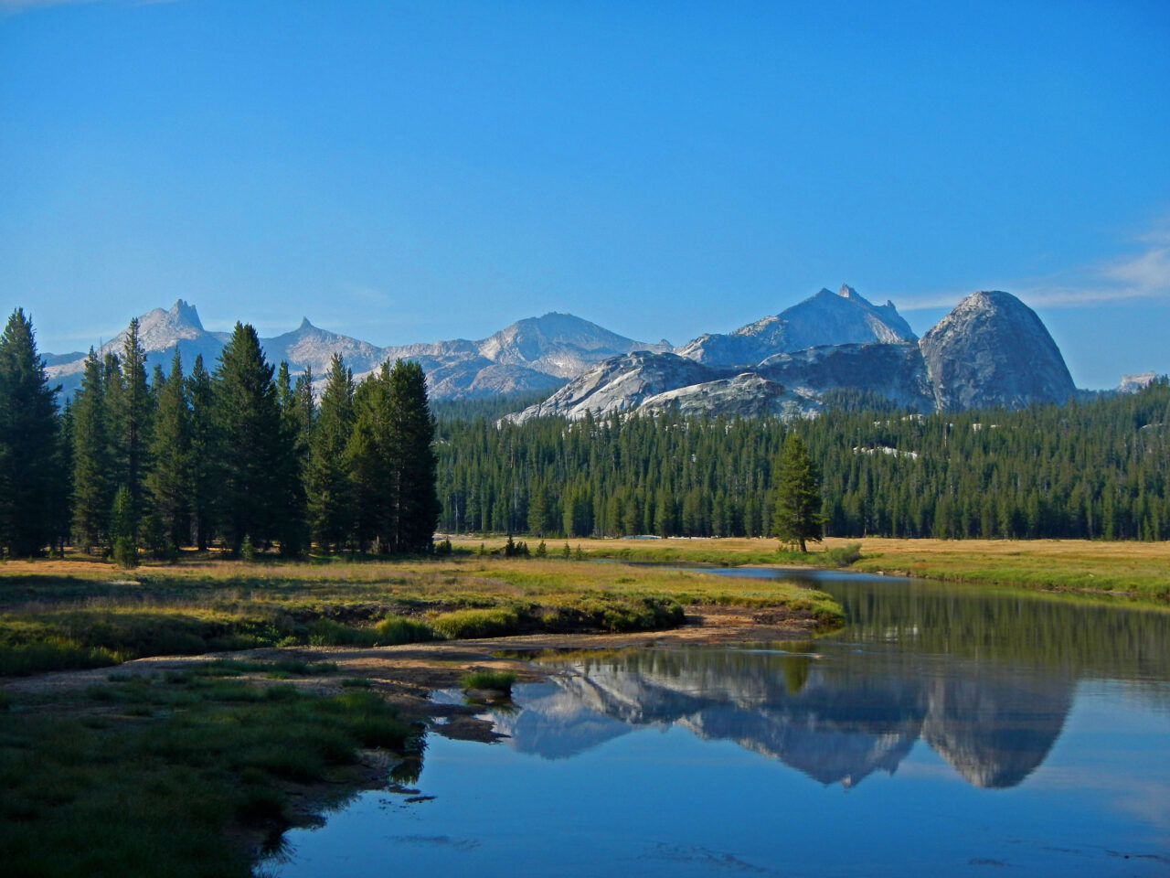
Spring preparedness centers on moisture and temperature swings. A Valley afternoon can rise well above the morning temperature, while shaded waterfall corridors remain cold and saturated with spray. Snowmelt also increases creek crossings and may cover stepping stones that are usable later in summer.
Carry layers that function when wet
A waterproof shell, insulating midlayer, warm hat, and spare socks cover the most common conditions. Shoes should have lugged soles that grip wet stone. Cotton clothing dries slowly beside waterfalls and during cold rain. Trekking poles provide additional stability on muddy slopes, although they cannot make flooded crossings safe.
A compact spring day pack
- Waterproof jacket and pack protection
- Insulating layer and dry socks
- Traction devices when compacted snow or ice is reported
- Headlamp for early starts and unexpected delays
- Printed or offline trail map
- Food stored according to Yosemite’s bear regulations
Give rivers and wildlife adequate space
The Merced River can rise quickly during warm spells that accelerate snowmelt. Stay on established paths near cascades, and turn around when water covers a crossing. Black bears become increasingly active in spring, particularly around trailheads and picnic areas. Food, scented toiletries, and coolers require approved storage whenever they are left unattended.
Planning the Right Spring Trip
Spring rewards visitors who separate Valley expectations from high country expectations. Plan around Yosemite Falls, Bridalveil Fall, the Merced River corridor, and lower elevation trails, then treat any newly opened mountain road as an additional opportunity. Early starts also reduce parking delays and place popular waterfall routes in cooler conditions.
Select March or early April for quiet scenery and winter influenced conditions, May for forceful runoff and expanding trail choices, or early June for longer days with heavier visitation. Match that window to a flexible reservation plan, carry equipment for cold spray and changing weather, and keep the final itinerary responsive to elevation. That approach captures Yosemite’s spring strengths without relying on roads or trails that snow may still control.
Want to keep exploring? Browse all our Yosemite guides and articles for more trip-planning tips and ideas.
Gear & Essentials
Tell us about your trip and we will add what else you will want:
The basics
Worth having in the car whatever the park.
For this trip
As an Amazon Associate we earn from qualifying purchases, at no extra cost to you.