Guadalupe Mountains National Park
Best Hikes in Guadalupe Mountains National Park for Desert and Mountain Views
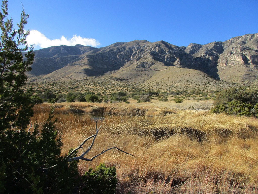
Photo: jaygannett via Flickr (CC BY-SA 2.0)
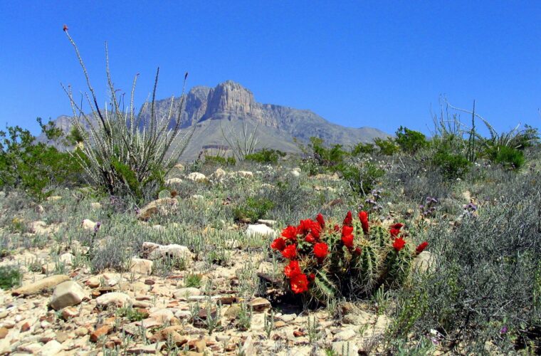
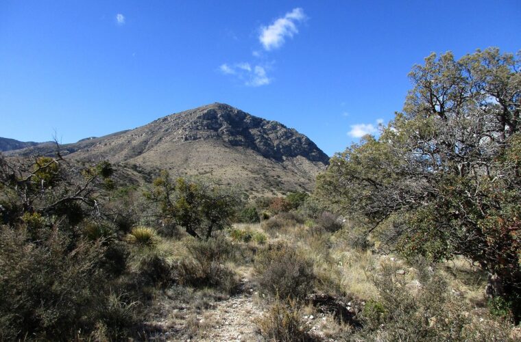
Finding the Best Hikes Guadalupe Mountains has to offer starts with an apparent contradiction: some of Texas’s finest mountain walking rises directly from the Chihuahuan Desert. Trails climb from agave, sotol, and cactus into ponderosa pine and Douglas fir forest, sometimes gaining nearly 3,000 feet before reaching exposed limestone summits. The abrupt ecological change makes mileage a poor measure of difficulty. Sun, wind, elevation, and loose rock often matter more.
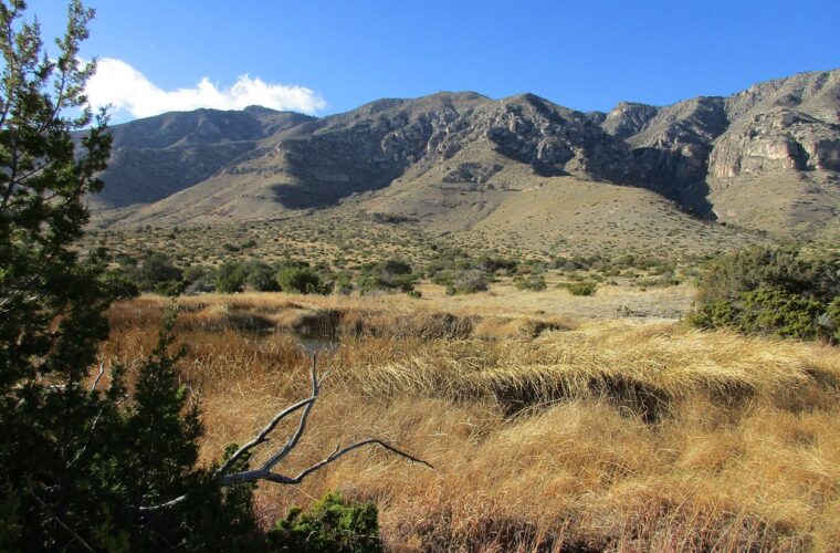
Guadalupe Mountains National Park protects the southern end of the Guadalupe range, including Guadalupe Peak at 8,751 feet, the highest point in Texas. Most visitors hike from Pine Springs, McKittrick Canyon, or the Frijole Ranch area along US 62 and US 180. Dog Canyon reaches the remote north side by a separate New Mexico approach, while the Salt Basin Dunes sit west of the main mountain front.
Understanding the landscape before choosing a trail
A fossil reef lifted above the desert
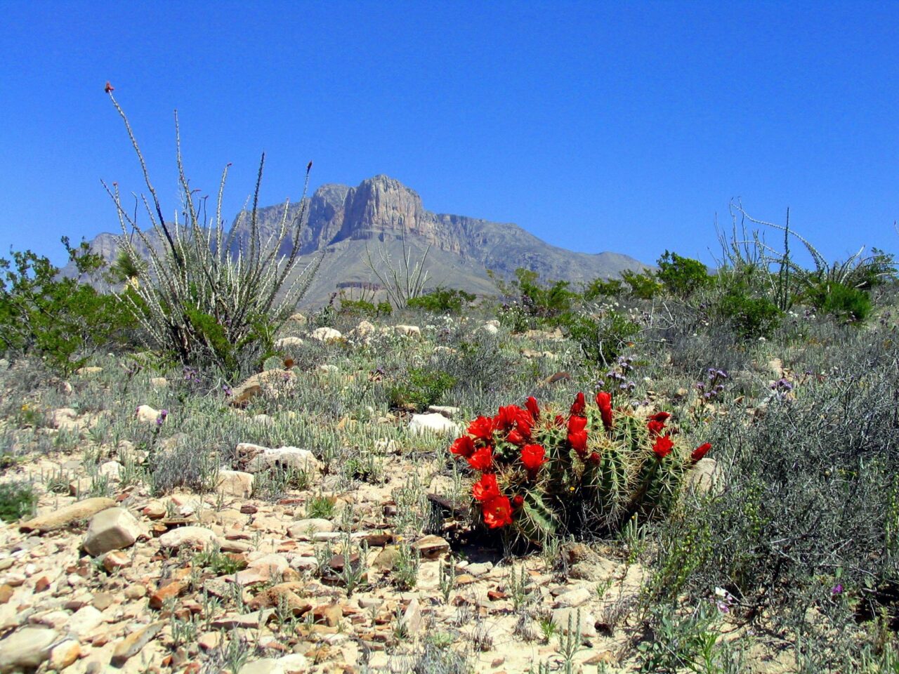
The range is the exposed portion of the Capitan Reef, a massive limestone formation built along the edge of an inland sea during the Permian Period, roughly 260 million years ago. Later uplift and erosion revealed the reef’s pale cliffs, ledges, and canyons. El Capitan, the sheer 8,085 foot landmark visible from the highway, marks the reef’s southern prow. Trails consequently cross hard limestone shelves, angular rubble, dry washes, and narrow canyon passages rather than smooth soil.
Four trail zones with very different conditions
Pine Springs provides access to Guadalupe Peak, Devil’s Hall, El Capitan Trail, and routes into the high country. McKittrick Canyon has gentler lower mileage and the park’s strongest fall color. Frijole Ranch connects short spring walks with longer foothill routes. Dog Canyon begins at higher elevation on the cooler north side, but reaching it from Pine Springs requires a long drive around the mountains, commonly close to two hours.
- Pine Springs: Best for summit objectives, strenuous climbing, and broad desert panoramas.
- McKittrick Canyon: Best for limestone walls, woodland ecology, historic structures, and autumn foliage.
- Frijole Ranch: Best for shorter walks near springs and a useful introduction to desert life.
- Dog Canyon: Best for solitude, forested ridges, and longer backcountry combinations.
There is no road through the mountain interior, so trailhead choice commits you to a particular side of the range. Mobile service is unreliable, and water is generally unavailable along trails. Carry your full supply from the trailhead. Entrance procedures, backcountry permits, McKittrick Canyon access times, and facility availability can change, so confirm current details on the official park site before departure.
Comparing the Best Hikes in Guadalupe Mountains by Scenery and Effort
Matching a Hike to Your Ability
Guadalupe Peak delivers the largest summit panorama, but Devil’s Hall provides close range geology with far less climbing. McKittrick Canyon trades exposed ridgelines for shade, vegetation, and enclosed canyon views. Smith Spring is the practical choice for a short outing or an afternoon with strong winds higher on the mountain. Distances below are round trip, while elevation gains are approximate because route measurements vary slightly by mapping method.
| Hike | Distance | Approximate gain | Primary scenery | Typical difficulty |
|---|---|---|---|---|
| Guadalupe Peak | 8.4 miles | 3,000 feet | Summit and desert basin views | Strenuous |
| Devil’s Hall | 3.8 miles | 600 feet | Wash, cliffs, and natural rock staircase | Moderate |
| Pratt Cabin | 4.8 miles | About 400 feet | McKittrick Canyon walls and woodland | Moderate |
| The Grotto | 6.8 miles | About 600 feet | Spring deposits and canyon forest | Moderate |
| Smith Spring Loop | 2.3 miles | About 400 feet | Desert foothills and spring habitat | Easy to moderate |
Choose views according to weather, not mileage alone
Wind is the major variable on exposed routes. Powerful gusts can make the final Guadalupe Peak ridge uncomfortable or unsafe, while Devil’s Hall and lower McKittrick Canyon remain partly sheltered. Summer heat concentrates risk below the forest zone, particularly during the afternoon. Winter can bring ice or snow to shaded high elevation slopes even when the desert floor is dry. Spring is often windy, and October into early November usually brings the most pleasant temperatures and fall color.
Pine Springs routes for the biggest mountain views
Best Hikes in Guadalupe Mountains National Park for High-Country Scenery
Pine Springs begins around 5,700 feet and sits directly beneath the park’s steep eastern escarpment. The trail network separates quickly: Guadalupe Peak Trail climbs toward the high ridge, Devil’s Hall Trail follows Pine Spring Canyon, and Tejas Trail enters the interior. Early starts matter here because morning shade disappears quickly and the open lower switchbacks retain little protection from sun or wind.
Guadalupe Peak Trail
The park’s signature climb gains about 3,000 feet over 4.2 miles to the summit. The steepest sustained ascent comes early, above Pine Springs, before the route bends around the mountain and enters scattered conifers. A short bridge crosses an exposed gap near the upper ridge. The final approach reaches a stainless steel monument placed on the summit, with views toward El Capitan, the Salt Basin, and the flat desert extending into New Mexico.
Near the top, pale limestone chips shift underfoot and the air can feel several degrees cooler than at the trailhead. Wind passes through the conifers with a low rushing sound, then becomes louder on the bare summit ridge. El Capitan suddenly appears below rather than ahead, and the desert’s roads look like thin pencil lines. That change in scale is the trail’s defining moment, earned after hours of climbing.
Devil’s Hall Trail
Devil’s Hall uses a maintained trail initially, then follows a rocky wash where progress involves stepping over boulders and uneven limestone. The destination is a narrow corridor framed by vertical walls, reached after climbing the Hiker’s Staircase, a natural sequence of rock ledges. Flash flooding is the central hazard. Avoid the wash when thunderstorms threaten anywhere upstream, even if the trailhead remains dry.
McKittrick Canyon and the greener side of the reef
The Best Hikes for Fall Color
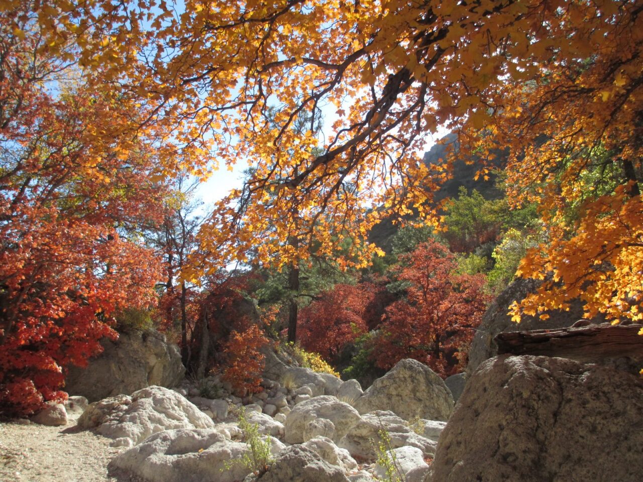
McKittrick Canyon holds moisture more effectively than the exposed desert slopes. Bigtooth maples, gray oaks, alligator junipers, ponderosa pines, and Texas madrone grow along the drainage, creating an unusual woodland within the Chihuahuan Desert. Fall color often develops from mid October into November, although timing changes with temperature and rainfall. The broad lower trail is less steep than Pine Springs routes, but distance accumulates quickly beyond the historic Pratt Cabin.
Pratt Cabin and The Grotto
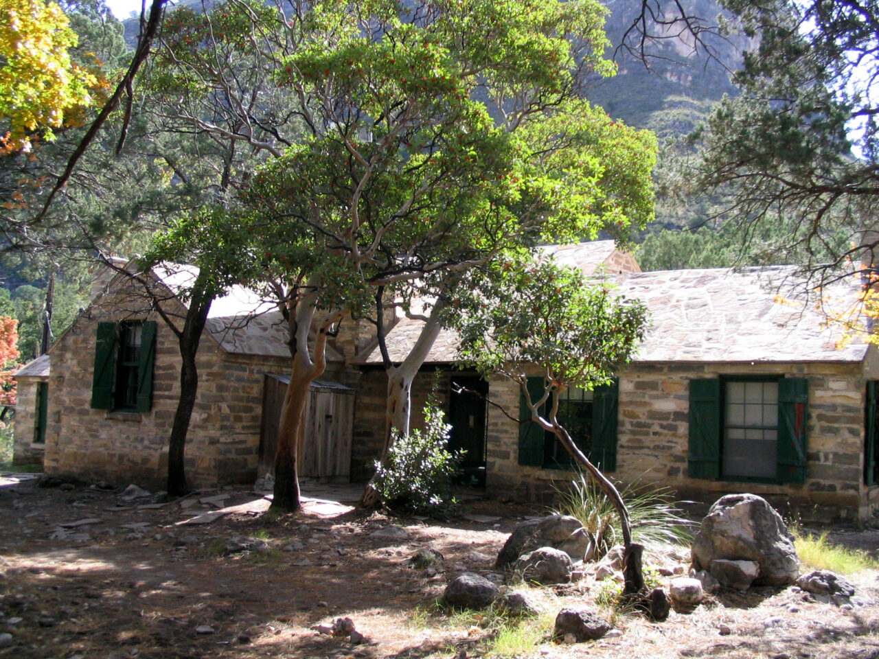
Pratt Cabin stands about 2.4 miles from the trailhead, where the canyon walls begin to close around the drainage. The stone building was constructed in the 1930s as a retreat for petroleum geologist Wallace Pratt. Continuing to The Grotto adds roughly two miles round trip and reaches a small cavern coated with mineral formations created by seeping water. Nearby Hunter Line Cabin reflects the canyon’s earlier ranching history.
Frijole Ranch and Smith Spring
The Smith Spring Loop begins near historic Frijole Ranch and passes Manzanita Spring before climbing through open foothills to Smith Spring. Water supports denser trees, birds, and wildlife than the surrounding slopes, while the exposed half of the loop looks south toward El Capitan. Hiking clockwise tackles the rougher climb earlier. Mountain lion and black bear habitat extends through this area, so keep children close and give all wildlife a clear escape route.
Quieter routes beyond the signature trails
The park’s less traveled routes reveal two landscapes that the main hikes only hint at: the upper edge of the Capitan Reef and the broad Salt Basin below its western escarpment. These outings require extra driving or greater route commitment, which reduces foot traffic. They also reward careful weather selection. Permian Reef Trail has prolonged sun exposure, Dog Canyon can be cold and windy, and the dunes become punishing during hot afternoons.
Permian Reef Trail above McKittrick Canyon
Permian Reef Trail climbs the canyon’s northern wall toward Wilderness Ridge, gaining roughly 2,000 feet over an approximately 8.4 mile round trip. The ascent exposes layers of reef limestone and opens views across McKittrick Canyon toward the Delaware Mountains. Fossils and fragile rock features should remain undisturbed. This route suits hikers comfortable with sustained climbing, narrow trail sections, and limited shade. Turnaround views improve steadily, so hikers can shorten the route without sacrificing the geological perspective.
Lost Peak from Dog Canyon
Dog Canyon starts near 6,300 feet, giving hikers immediate access to cooler woodland without first climbing from the desert floor. Lost Peak is approximately 6.4 miles round trip with about 1,500 feet of gain, primarily along the Tejas Trail. The route passes pinyon, juniper, and ponderosa pine before reaching open ridge views near the 7,830 foot summit. Carry navigation tools because intersecting backcountry trails continue toward Marcus, Bush Mountain, and the park interior.
Salt Basin Dunes below the western escarpment
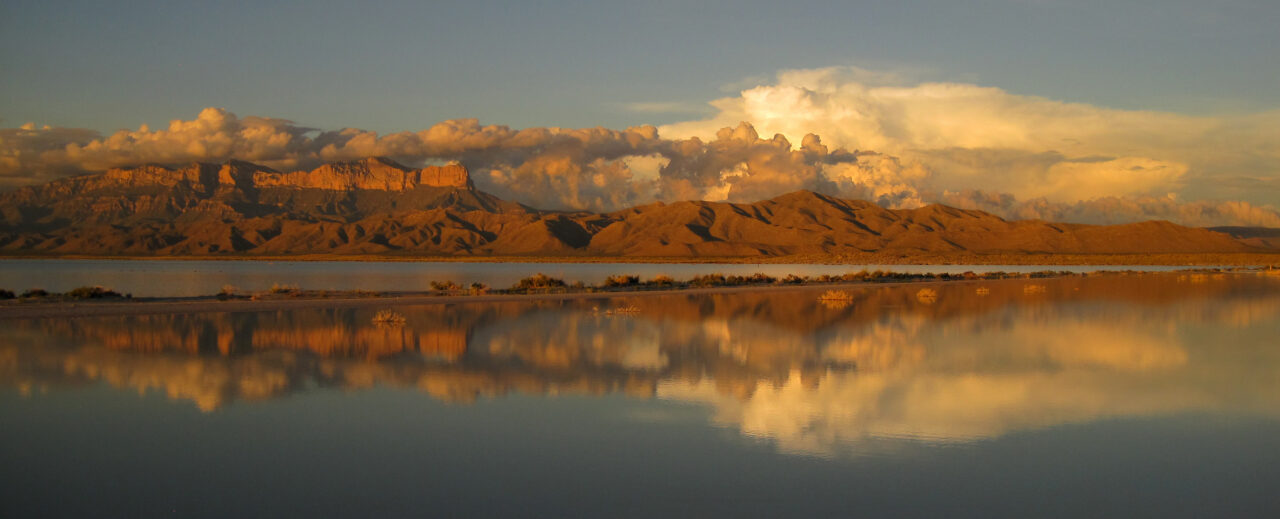
The Salt Basin Dunes preserve windblown gypsum derived from mineral rich runoff that collected west of the Guadalupe escarpment. Some white dunes rise about 60 feet, while darker quartz sand appears around their margins. Reaching the dune field generally requires a three to four mile round trip walk from the parking area. Visit near sunrise or late afternoon, when angled light defines the ripples and the Guadalupe Mountains cast long shadows across the basin.
Match your hiking plan to the desert calendar
The Best Hikes Guadalupe Mountains visitors choose should reflect daylight, wind, and elevation as much as fitness. A comfortable morning at Pine Springs can become hazardous once gusts strengthen on an exposed ridge. Canyon routes remain cooler longer, although summer heat still builds rapidly along open approaches. Winter hikers should expect a temperature difference between the desert floor and summits, with shaded snow or ice lingering after lower elevations have dried.
Seasonal route selection
Autumn usually provides the broadest range of hiking choices, particularly when McKittrick Canyon’s maples begin changing color. Spring brings mild temperatures alongside frequent high winds. Summer favors short outings completed early, while winter can provide clear desert visibility between storms. The table below identifies the terrain most likely to suit each seasonal pattern.
| Season | Routes to prioritize | Main planning issue |
|---|---|---|
| March through May | McKittrick Canyon, Smith Spring, Devil’s Hall | Strong afternoon wind on ridges |
| June through August | Short canyon walks and higher Dog Canyon routes | Heat, thunderstorms, and flash floods |
| September through November | Guadalupe Peak, Permian Reef, McKittrick Canyon | Crowds during peak foliage |
| December through February | Lower foothills and dunes during stable weather | Ice, snow, and rapid temperature changes |
Pack for exposed limestone terrain
Sharp limestone, loose rubble, and thorny vegetation favor durable footwear over lightweight street shoes. Carry approximately one gallon of water per person for a full day, adjusting upward during warm conditions, plus salty food or electrolytes. A practical Guadalupe Mountains day pack should include:
- A paper trail map and offline digital map
- Sun protective clothing, sunscreen, and a brimmed hat
- A windproof outer layer for ridges and summits
- Trekking poles for loose descents
- A headlamp for delayed returns
- A first aid kit with blister supplies
Sequence trailheads efficiently
Visitors with one full day should select a single zone rather than losing hiking time to highway transfers. Pair Guadalupe Peak with no additional strenuous objective, or combine Pratt Cabin with The Grotto for a longer canyon day. With two days, use one for Pine Springs and the other for McKittrick Canyon or Frijole Ranch. Dog Canyon deserves a separate day because its road approach does not connect through the mountain interior. Reserve the Salt Basin Dunes for a travel day with favorable temperatures.
Choosing the Best Hikes in Guadalupe Mountains for Desert and Mountain Views
The strongest itinerary balances one major objective with a route that reveals a different part of the park. Guadalupe Peak supplies the summit panorama, McKittrick Canyon explains the range’s unexpected woodland ecology, and Devil’s Hall puts the reef’s eroded limestone within arm’s reach. Lost Peak and Permian Reef Trail provide quieter alternatives for experienced hikers, while Smith Spring works well when time, wind, or energy rules out a high ridge.
Choose the trail only after checking the forecast for the elevation you plan to reach. Start with enough water, daylight, and turnaround discipline to handle slower travel over rock. With those decisions made carefully, the Best Hikes Guadalupe Mountains offers become a clear progression from desert springs and gypsum dunes to fossil reef cliffs and the highest point in Texas.
Want to keep exploring? Browse all our Guadalupe Mountains guides and articles for more trip-planning tips and ideas.
Gear & Essentials
Tell us about your trip and we will add what else you will want:
The basics
Worth having in the car whatever the park.
For this trip
As an Amazon Associate we earn from qualifying purchases, at no extra cost to you.