5 Hidden Gems in Biscayne National Park
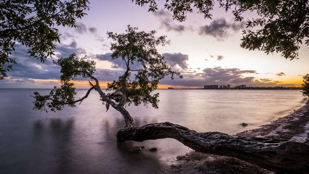
Photo: Unknown via Flickr (CC BY 2.0)
The Hidden Gems Biscayne National Park holds are surprisingly easy to miss, precisely because 95 percent of the park lies underwater. While most visitors pull into the Dante Fascell Visitor Center, snap a photo of the mangrove shoreline, and drive away, the park’s real character reveals itself only to those who push beyond the boat launch ramp and out across Biscayne Bay. Spread across roughly 172,000 acres of open water, coral reef, mangrove coast, and undeveloped barrier islands, Biscayne is one of the largest marine national parks in the United States, yet it consistently draws far fewer visitors than the nearby Everglades.
The park sits at the meeting point of the Florida Keys reef tract, the shallow grass flats of Biscayne Bay, and the urbanized Miami-Dade shoreline. That collision of habitats produces an almost absurd density of wildlife and geology packed into a compact geographic footprint. Manatees graze the seagrass beds in winter, hawksbill sea turtles nest on barrier island beaches in summer, and colonies of staghorn coral are actively recovering along the outer reef tract. Knowing where to go and how to get there is the difference between a forgettable boat ride and an experience that rivals anything else in the National Park System. The five places covered here are the ones our team returns to again and again.
Understanding the Park Before You Visit
Geography and Access Basics
Biscayne National Park is headquartered at Convoy Point in Homestead, Florida, roughly 25 miles south of downtown Miami and about 45 minutes by car from Miami International Airport. The mainland visitor center sits right at the water’s edge, but the barrier islands that form the park’s eastern boundary are 5 to 10 miles offshore by boat. The most visited of those islands, Elliott Key, is approximately 9 miles from Convoy Point. Adams Key, a smaller and quieter alternative, sits about 6 miles out. There is no bridge access to any of the park islands; everything beyond the mainland shore requires a vessel, whether your own or a concessionaire-operated tour boat.
The park runs the roughly 18-mile length of northern Key Largo at its southern end, where the reef tract begins in earnest. Depths across the bay average only 6 to 8 feet, making it navigable for kayaks and shallow-draft motorboats, but the outer reef sits in 15 to 30 feet of water and requires a seaworthy vessel. Distances feel modest on a map but can change quickly in afternoon thunderstorms. Plan to be off the open bay by 2 p.m. from June through September, when convective storms build rapidly over South Florida.
Seasons and Conditions at a Glance
The park operates year-round, but two very different seasons shape the visitor experience. The dry season runs roughly from November through April, bringing lower humidity, calmer winds, and the best underwater visibility on the reef (often 40 to 60 feet). The wet season, May through October, brings intense afternoon thunderstorms, higher seas on certain days, and the possibility of tropical storms. Mosquitoes on the islands are genuinely fierce from late spring through early fall; bring a head net if you plan to camp or spend time in the mangroves.
| Season | Months | Water Visibility | Crowds | Key Wildlife Activity |
|---|---|---|---|---|
| Dry (peak) | Nov. to April | 40 to 60 ft on reef | Moderate to high | Manatees in bay, migratory birds |
| Shoulder | May, Oct. | 20 to 40 ft | Low | Sea turtle nesting begins/ends |
| Wet (summer) | June to Sept. | 15 to 30 ft | Very low | Active sea turtle nesting, tarpon |
Why Most Visitors Miss These Hidden Gems in Biscayne National Park
The Mainland Shoreline Is Just the Entry Point
Convoy Point, the main access area, offers a boardwalk over the mangroves, a ranger-staffed visitor center, and one of the better maritime museums in any National Park unit. The exhibits on the park’s history as a mosaic of working fish camps, Caribbean immigrant communities, and conservation battles are genuinely worth an hour of your time. But the shoreline itself is turbid and shallow, and the mangrove edge looks like a wall from the dock. Visitors who confuse this strip with the park as a whole leave without understanding what they missed.
Concessionaire-operated glass-bottom boat tours, snorkel trips, and kayak rentals operate from Convoy Point, and those are the easiest on-ramp for visitors without their own boat. Confirm current schedules and fees on the official park site, because departure times and trip availability shift seasonally. If you have a kayak or paddleboard, the paddling route from Convoy Point north along the shoreline to Black Point Marina passes through productive seagrass flats where you are likely to see spotted eagle rays, lemon sharks, and loggerhead turtles on a single transit.
The Reef Tract Requires a Little More Planning
The Biscayne reef tract is the northernmost section of the Florida Reef, the only living barrier coral reef in the continental United States. It runs along the park’s eastern edge, separated from the barrier islands by a navigable channel. Specific reef formations within the park, including Long Reef, Ajax Reef, and the historically significant Maritime Heritage Trail, each have distinct topography and fish communities. Long Reef tops out at around 10 to 15 feet below the surface, making it accessible to confident snorkelers as well as divers. Ajax Reef descends into the mid-20-foot range and shelters larger goliath grouper. Getting out here under your own power means a crossing of roughly 10 to 12 nautical miles from Convoy Point in open water, which demands local weather awareness and a reliable vessel.
The 5 Hidden Gems in Biscayne National Park Every Explorer Should Know
1. Adams Key and Its Former Coconut Palm Grove
What makes Adams Key unusual
Adams Key sits about 6 nautical miles east-southeast of Convoy Point and receives only a fraction of the foot traffic that Elliott Key handles on busy weekends. The island was once the home of the Cocolobo Club, an exclusive fishing retreat that counted presidents and industrialists among its members in the early twentieth century. Remnant coconut palms planted by that club still line the shoreline, creating a landscape that feels deliberately tended in a park otherwise defined by wild hammock forest. A short trail, roughly 0.7 miles, loops the island through West Indian hardwood hammock, where Lignum vitae, gumbo limbo, and poisonwood grow in dense canopy.
Practical details for reaching Adams Key
Day use is available at Adams Key, and a small dock accommodates modest vessels. There are picnic facilities on site, but potable water is not reliably available, so bring everything you need. The island sits in a protected position behind several small mangrove keys that buffer the prevailing southeast chop, making it a calmer anchorage than the more exposed northern end of Elliott Key. Because it requires the same boat access as anywhere else in the park but sees fewer visitors, a weekday visit here can feel genuinely solitary in a way that few South Florida destinations allow.
2. Spite Highway on Elliott Key
The ecological and historical story behind the trail
Elliott Key is the park’s largest barrier island, stretching roughly 7 miles from north to south with a central spine of West Indian hardwood hammock. The island’s most storied trail is Spite Highway, a 7-mile road bulldozed by a developer in 1968 in the immediate aftermath of the park’s establishment. The intent was to demonstrate active land use and complicate the federal acquisition process. The tactic failed legally, and the park service acquired the island, but the cleared swath persists as a trail bisecting the hammock from north to south. Walking it today, you see the contrast between the tall, closed-canopy hammock on either side and the narrower, recovering vegetation corridor of the old road cut itself.
- Total trail length: approximately 7 miles one way
- Trailhead: Harbor at the northern end of Elliott Key
- Terrain: Flat, rocky limestone substrate with occasional standing water after rain
- Shade: Dense through most of the route once the hammock closes over the trail
- Wildlife: White-crowned pigeons, mangrove cuckoos, and Key Largo woodrats are all possible sightings
- Water: Carry all you need; no potable sources on the trail
What to watch for ecologically
The hammock bordering Spite Highway is one of the largest intact examples of West Indian hardwood hammock in the continental United States. Species like Jamaican dogwood, strangler fig, and wild coffee grow in genuine profusion, and the canopy reaches heights of 40 feet or more in the older sections. The trail itself is flat because Elliott Key, like all of the barrier islands here, is built on ancient Key Largo Limestone, a reef formation laid down roughly 125,000 years ago during the last major interglacial sea level high stand. The island’s maximum elevation is only about 5 feet above sea level, making it immediately vulnerable to any sustained sea level rise.
Want to keep exploring? Browse all our Biscayne guides and articles for more trip-planning tips and ideas.