Olympic National Park in Summer: What to Expect and What to Do
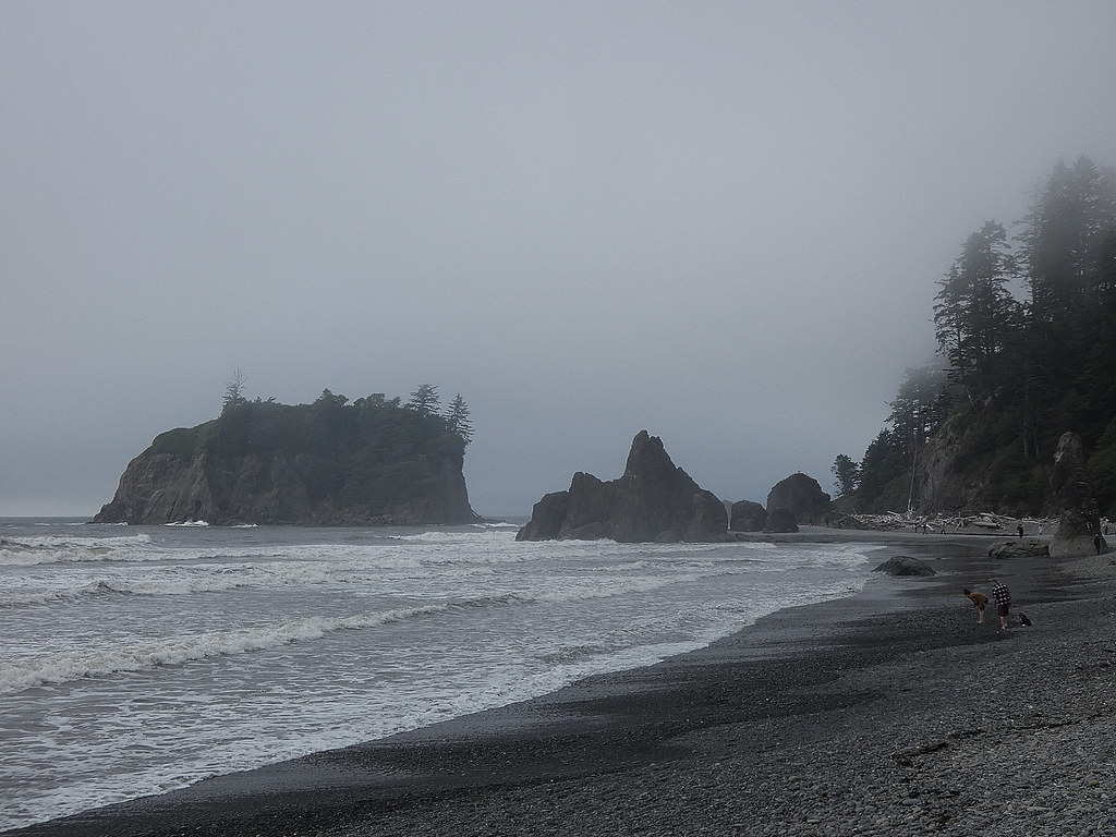
Photo: concrete&fells via Flickr (CC BY 2.0)
Olympic National Park summer conditions can feel like three different seasons on the same day: warm sunshine may cover the coast while fog chills the Hoh Rain Forest and lingering snow blocks high trails near Hurricane Ridge. The park rises from Pacific tide pools to 7,980 foot Mount Olympus, so elevation and exposure matter as much as the date on the calendar.
Olympic also has no road crossing its mountainous interior. US 101 circles the peninsula, while park roads enter separate valleys and end at trailheads. Driving from Hurricane Ridge to the Hoh Rain Forest takes roughly three hours without long stops, and reaching the coast adds more road time. A successful summer visit therefore depends on grouping destinations geographically rather than treating the park as one compact attraction.
Summer at a Glance
Summer brings the broadest access of the year. Lower rain forest and coastal trails are generally usable throughout the season, while snow retreats from Hurricane Ridge, Deer Park, Obstruction Point, and backcountry passes at different rates. July and August usually deliver the driest weather, but the west side remains capable of producing drizzle, low cloud, and soaking vegetation even during an otherwise settled forecast.
What Opens Up During the Dry Season
By midsummer, visitors can connect ecosystems that remain difficult to combine during winter: subalpine meadows around Hurricane Ridge, old growth forest along the Hoh and Quinault rivers, glacial lakes in the northern foothills, and intertidal shelves along the Pacific. The main paved approach roads normally provide access to these areas, although washouts, wildfire, road work, and storm damage can alter specific routes.
Snowmelt controls the higher trails. Hurricane Hill, a 3.2 mile round trip climbing about 700 feet, may become mostly snow free before routes crossing higher passes in the Olympic interior. Backpackers entering through the Hoh, Sol Duc, or Quinault valleys can encounter bare forest near the trailhead and steep snowfields several days later.
Summer Weather Across the Peninsula
The Olympic Mountains intercept moisture arriving from the Pacific. The Hoh and Quinault valleys consequently support dense temperate rain forest, with Sitka spruce, western hemlock, bigleaf maple, and thick epiphytes. Port Angeles and the northeastern peninsula sit within a rain shadow and often experience brighter, drier conditions. Coastal temperatures remain moderated by cold ocean water, so a sunny beach afternoon can become sharply cooler when marine fog moves inland.
How Olympic National Park in Summer Compares With Other Seasons
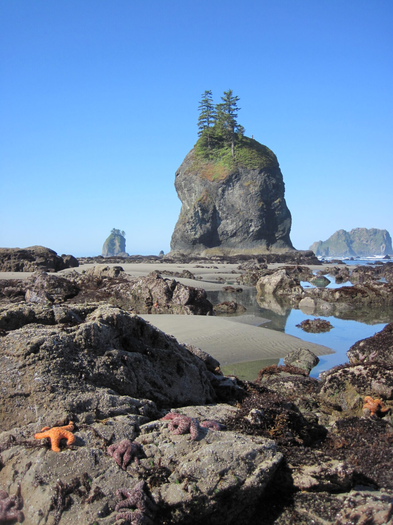
Summer is the practical choice for travelers who want the widest road and trail access, but it also concentrates demand at a handful of famous locations. Spring provides waterfalls and vibrant forest growth, autumn brings quieter roads and returning rain, and winter narrows most itineraries to low elevations. The comparison below reflects typical patterns rather than a guarantee for any individual week.
| Season | Typical conditions | Access | Crowd pattern | Best suited to |
|---|---|---|---|---|
| Spring, March through May | Frequent rain at low elevations, deep mountain snow, strong river flow | Rain forests and many coastal areas accessible, high routes limited | Light to moderate, increasing around holiday weekends | Waterfalls, mossy forests, storm watching, flexible road trips |
| Summer, June through August | Drier overall, cool coast, variable mountain weather | Broadest access, with early summer snow possible at elevation | Highest at major trailheads and viewpoints | Hiking, backpacking, tide pools, wildlife viewing, multisector trips |
| Autumn, September through November | Often stable in early September, then progressively wetter and stormier | Good early access, followed by seasonal service and road changes | Moderate, then light after early autumn | Quieter hiking, elk viewing, forest photography |
| Winter, December through February | Heavy western rainfall, mountain snow, coastal storms | Low elevation focus, with restricted or weather dependent mountain access | Low except during clear weekends and holidays | Rain forests, dramatic surf, short lowland walks |
Early Summer: June Into Early July
June often behaves like an extension of spring in the mountains. Trails near Hurricane Ridge can retain packed snow, while higher backpacking routes may require navigation skills and traction equipment. Rivers also run cold and powerful with snowmelt. At lower elevations, long daylight supports full itineraries, and forest trails such as the 0.8 mile Hall of Mosses loop or 1.8 mile round trip Marymere Falls trail are usually more straightforward.
Peak Summer: Mid July Through August
This period normally offers the most dependable high country access and the largest crowds. Hurricane Ridge, the Hoh Rain Forest, Lake Crescent, Sol Duc Valley, and popular coastal trailheads can fill early. Dry spells create dust on exposed trails, reduce smaller waterfalls, and increase wildfire risk. Smoke from fires within or beyond the peninsula can occasionally obscure mountain views, even when the immediate area remains open.
Late Summer: September’s Changing Pattern
Early September can retain August conditions with shorter daylight and somewhat lighter weekday traffic. Later in the month, Pacific weather systems become more influential, overnight temperatures fall, and the first mountain snow becomes possible. Roosevelt elk activity becomes more noticeable during the autumn breeding season, particularly in broad river valleys, but visitors should maintain substantial distance because bulls can behave unpredictably.
What Crowds Change in Practical Terms
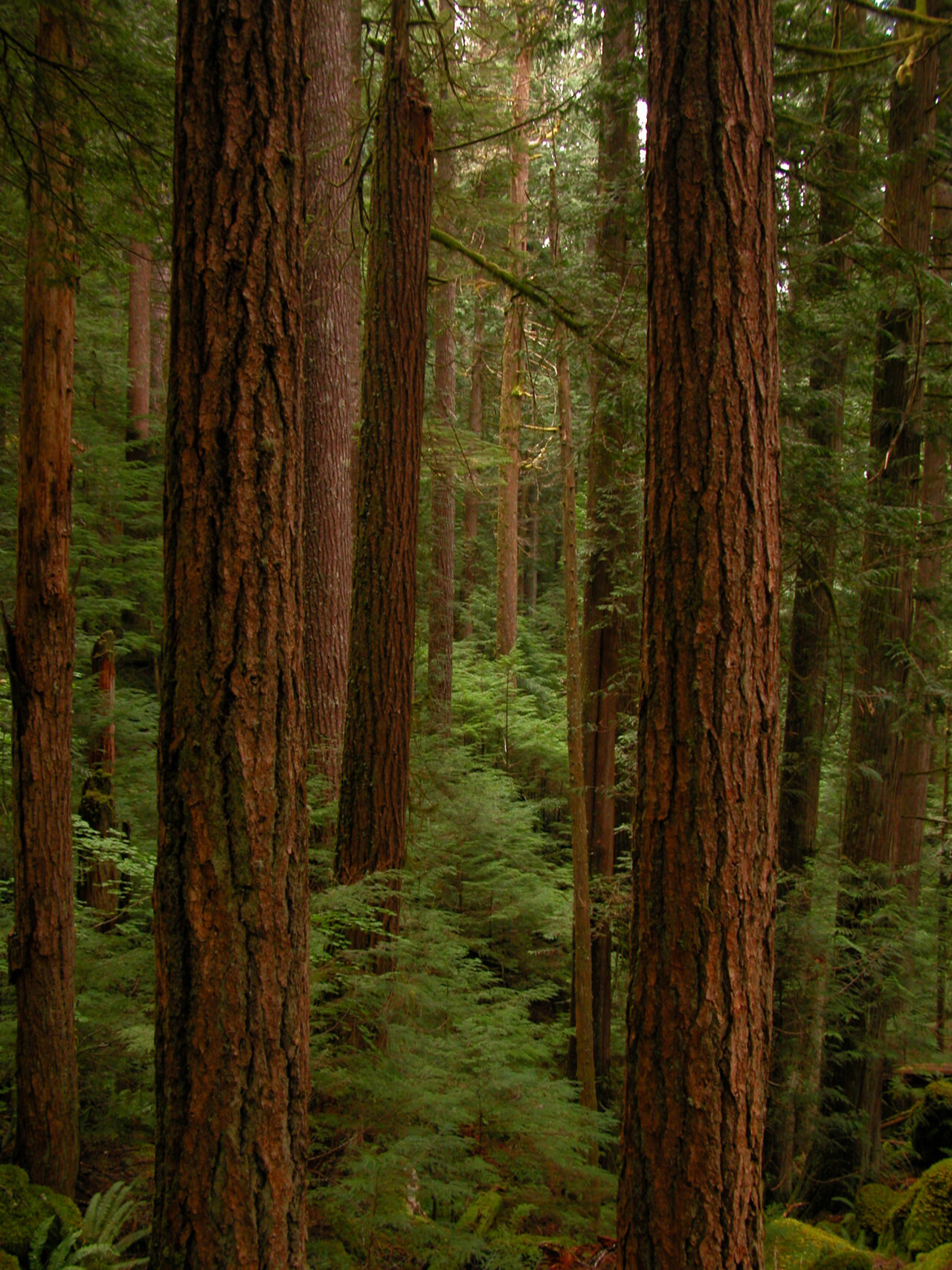
Summer congestion is concentrated rather than uniform. The greatest pressure develops at famous road ends and short trails, especially from late morning through midafternoon. A full parking area can force visitors to wait, revise the day’s route, or choose a longer walk from an available space. Because these park sectors are separated by lengthy drives, changing plans may cost hours rather than minutes.
Where Bottlenecks Form
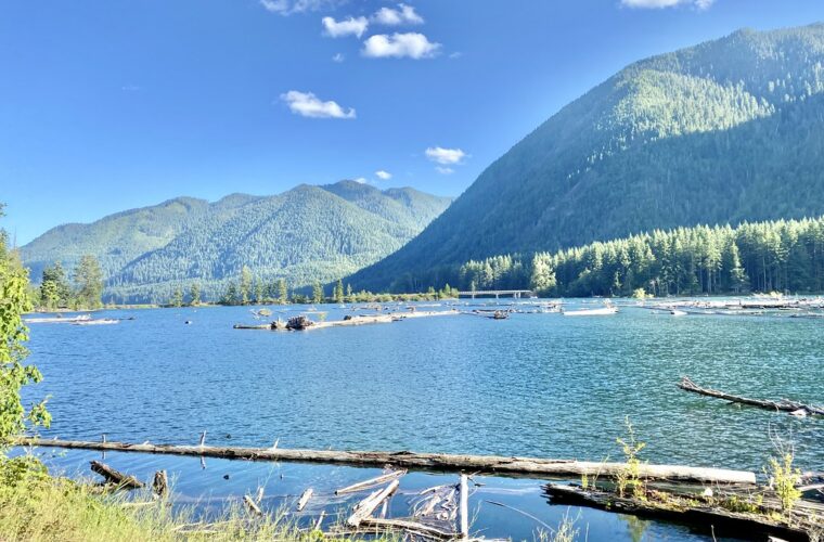
The Hoh Rain Forest approach is a particular planning concern because vehicles enter through a single corridor and parking capacity is finite. Hurricane Ridge can also experience vehicle controls when parking fills. At Lake Crescent, roadside pullouts and trailhead lots become busy around Marymere Falls and the Mount Storm King route. Coastal crowding depends on both parking and tide timing, since many visitors arrive during the same safe tide window.
A Better Daily Rhythm
Our team recommends assigning one major park sector to each day and reaching its primary trailhead early. Save roadside viewpoints, lakeshore stops, and short forest walks for later. Build plans around geography rather than a checklist:
- Combine Hurricane Ridge with Port Angeles or the Lake Crescent area.
- Pair Sol Duc Falls with other stops in the Sol Duc Valley.
- Give the Hoh Rain Forest its own substantial block of time.
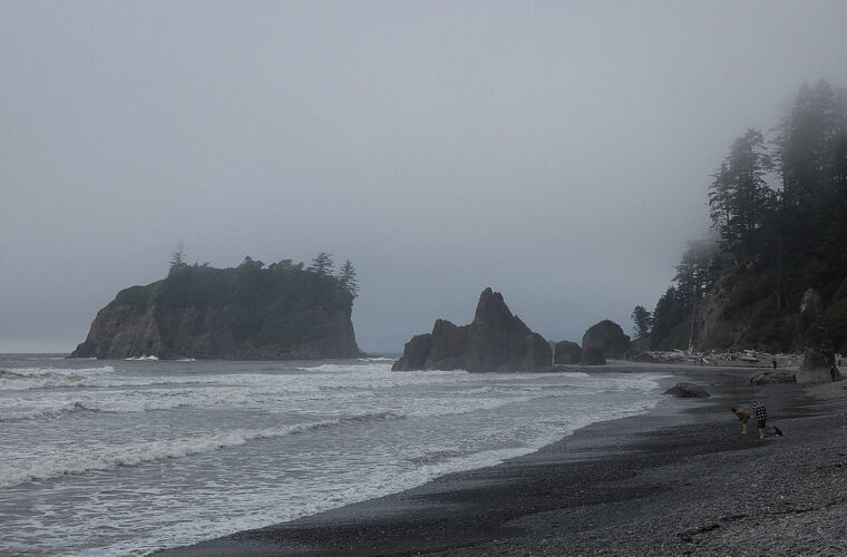
- Coordinate Rialto, Second, or Ruby Beach with an appropriate tide window.
- Use the Quinault Valley as a separate southern loop rather than a quick detour from the Hoh.
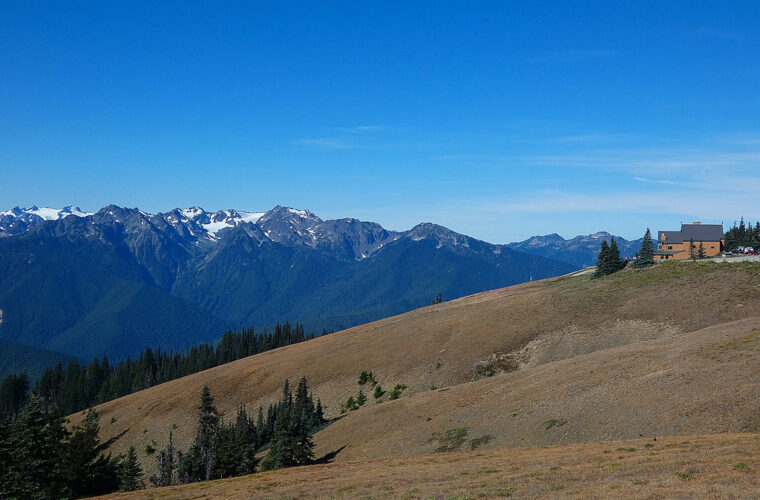
On a clear morning at Hurricane Hill, the paved trail climbs through open meadow with the Strait of Juan de Fuca behind you and the glacier cut Olympic interior ahead. Wind moves across the exposed ridge, snow may linger beside blooming avalanche lilies, and the final incline feels steeper than its smooth surface suggests. At the viewpoint, Mount Olympus appears beyond layered ridges, while Vancouver Island can emerge across the water to the north.
Access and Reservations in Summer
Most visitors enter from Port Angeles on the north side, Forks on the west, or the Lake Quinault area to the southwest. The distances around the peninsula make lodging location consequential. Staying near Port Angeles favors Hurricane Ridge and Lake Crescent, while the Forks area reduces travel to the Hoh and central coast. No single base provides short drives to every major landscape.
Roads, Trailheads, and Tide Access
Mountain roads can remain affected by snow after lowland routes have dried. Obstruction Point Road, reached from the Hurricane Ridge area, is narrow, unpaved, and typically opens later than the main ridge road. Deer Park Road is also steep and unpaved. Coastal access requires an additional check: headlands on routes such as Rialto Beach to Hole in the Wall may become impassable at high tide, so a road forecast alone is insufficient.
Permits and Overnight Planning
Developed campgrounds, wilderness camps, and limited lodging near major park areas face strong summer demand. Overnight backcountry travel requires a wilderness permit, and quota areas can include sought after routes and coastal camps. Current entrance fees, campground booking procedures, permit release dates, road status, and any vehicle controls should be confirmed on the official park site before finalizing the itinerary.
Decisions to Make Before Booking
- Choose the two or three ecosystems that matter most: mountains, rain forest, coast, or lakes.
- Divide overnight stays between the north and west sides if the trip covers all three.
- Match coastal hiking dates to daylight tide tables rather than selecting beaches spontaneously.
- Reserve required overnight permits before building fixed lodging and transportation plans around a backcountry route.
- Keep one low elevation forest or lake day available if cloud, smoke, or snow hides the mountains.
Choosing the Right Summer Window
The best Olympic National Park summer dates depend on the activity that would disappoint you most if conditions interfered. Mountain hikers benefit from waiting until snow retreats, while waterfall photographers and visitors sensitive to crowds may prefer June. Families planning short walks can use almost any summer week because low elevation destinations remain less dependent on snowmelt. Coastal travelers should prioritize favorable daytime tides, since tide timing can matter more than the month.
For High Country Hiking
Late July through August usually provides the strongest odds of bare trails around Hurricane Ridge and on higher interior routes. Even then, shaded gullies can hold firm snow, and exposed ridges may experience strong wind or sudden cloud. Hikers considering Mount Angeles, Grand Valley, or routes from Obstruction Point should compare the trail’s elevation with recent condition reports. Early September can combine open terrain with lighter weekday use, although daylight decreases rapidly and cold nights become more common.
For Rain Forests, Beaches, and Waterfalls
June preserves stronger flow at Sol Duc Falls, Marymere Falls, and smaller forest cascades. The tradeoff is greater rainfall and lingering mountain snow. July and August favor long coastal days, but morning fog can conceal sea stacks for hours. Tide pools at Beach 4 and Ruby Beach are best explored around a sufficiently low tide, with extra time allowed to return before channels refill. Never turn your back on the ocean, because sneaker waves can run well beyond the normal wash line.
| Primary goal | Strongest summer window | Useful base | Main compromise |
|---|---|---|---|
| Snow free mountain hiking | Late July through August | Port Angeles | Peak parking demand |
| Waterfalls and lush forest | June through early July | Lake Crescent, Forks, or Quinault | Wetter weather and mountain snow |
| Coastal hiking | Any summer period with suitable tides | Forks or the western corridor | Fog and limited trailhead parking |
| Lower crowd levels | Weekdays in June or September | Split between north and west | Less predictable high country conditions |
Building a Summer Itinerary
A two day visit should focus on adjacent sectors. One practical northern plan combines Hurricane Ridge with Lake Crescent, followed by Sol Duc Valley the next morning. Marymere Falls requires a relatively short forest walk, while the maintained portion of Mount Storm King climbs steeply above the lake and demands considerably more time and effort. Trying to add the Hoh and a Pacific beach to that schedule creates excessive driving and leaves little flexibility for congestion.
Three Days for the Major Landscapes
With three full days, assign one to Hurricane Ridge and Lake Crescent, one to the Hoh Rain Forest, and one to the coast. The Hoh River Trail allows visitors to choose their distance, with Mineral Creek Falls reached after approximately 2.7 miles of generally gentle walking. On the coastal day, the hike from Rialto Beach to Hole in the Wall covers roughly 3.3 miles round trip over sand, cobbles, and driftwood, so it moves slower than the mileage suggests.
Four or Five Days for Greater Depth
Additional time makes the Quinault Valley worthwhile and creates a weather buffer. The Quinault Rain Forest receives far more precipitation than the northeastern peninsula and contains immense conifers, including Sitka spruce and western redcedar. Use another day for a longer Sol Duc Valley hike, paddling where legally available, or exploring the quieter Elwha corridor. Keeping one day flexible lets you move mountain plans to the clearest forecast without abandoning prepaid lodging.
Prepare for Conditions That Change by Ecosystem
Pack for cool moisture even when inland forecasts show heat. A breathable rain shell, warm midlayer, sun protection, and footwear with traction cover most day hikes. Coastal walkers should add a tide table, offline map, and dry bag for electronics. Mountain hikers may need traction devices or trekking poles during early summer. Carry drinking water rather than relying on streams, because clear water can still contain pathogens and must be treated before use.
A Practical Day Pack Checklist
- Printed or offline maps for the specific park sector
- Rain shell and insulating layer
- Food, treated water, and an emergency reserve
- Headlamp for delays on forest or coastal trails
- Sun protection for exposed ridges and beaches
- Tide information for any route crossing headlands
- Binoculars for viewing wildlife from a safe distance
Wildlife and Backcountry Conduct
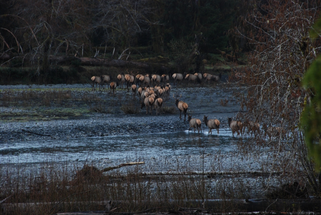
Roosevelt elk frequently use the Hoh, Quinault, and other broad river valleys. Give them at least 25 yards, and increase that distance when calves or rutting bulls are present. Black bears occur throughout the park, so food, scented items, and rubbish require secure storage at camps and picnic areas. On trails, avoid crowding animals or blocking their direction of travel. In subalpine meadows, remain on durable surfaces because short growing seasons make damaged vegetation slow to recover.
Planning Your Summer Visit
Summer provides the widest range of Olympic experiences, but elevation, tides, and travel time determine what fits into a single trip. Choose dates according to your main priority, divide the peninsula into geographic sectors, and leave room for one weather driven adjustment. That approach protects the experiences that matter most while reducing time lost to backtracking, full parking areas, or unsuitable trail conditions.
For the broadest first visit, allow at least three full days and divide overnight stays between the northern and western sides. Travelers with less time will have a better trip by exploring one region carefully. Check mountain visibility before committing to exposed terrain, consult tide predictions before coastal hikes, and carry layers everywhere. Those decisions turn Olympic’s dramatic regional differences from a planning obstacle into the central strength of the journey.
Want to keep exploring? Browse all our Olympic guides and articles for more trip-planning tips and ideas.
Gear & Essentials
Tell us about your trip and we will add what else you will want:
The basics
Worth having in the car whatever the park.
For this trip
As an Amazon Associate we earn from qualifying purchases, at no extra cost to you.