











Great Smoky Mountains National Park
Look Rock Overlook
| Type | Viewpoint |
|---|---|
| Elevation | about 2,640 ft |
At a glance
- Type: Viewpoint
- Area: Foothills Parkway West, Tennessee
- Elevation: About 2,640 feet
- Nearby trail: Look Rock Developed Trail, about 0.5 miles as mapped by the National Park Service
- Nearby facilities: Picnic area, restroom, ranger station, and campground fee booth
Getting there
Look Rock Overlook is on Foothills Parkway West. Look Rock Tower is at the same mapped location, while Look Rock peak is about 0.1 miles away.
The Look Rock Developed Trail trailhead and Murray Gap Overlook Pulloff are about 0.2 miles away. Sugarlands Visitor Center is about 23 miles away. These are not driving distances.
Pigeon Forge is about 24 miles away, Gatlinburg about 25 miles away, and Cherokee about 37 miles away. All town distances are straight-line measurements.
McGhee Tyson Airport and Asheville Regional Airport are listed as nearby airports.
What to see and do
The overlook provides wide views of the Chilhowee Mountain ridges and Tennessee’s Great Valley. Look Rock stands on a ridge above the park’s western entrance.
A short walk reaches the 60-foot Look Rock observation tower. The tower provides views in every direction. Knoxville’s skyline may appear to the northwest on especially clear days.
Sunset can bring blue and purple tones to the layered ridges. The nearby Look Rock Developed Trail is about 0.5 miles as mapped by the National Park Service.
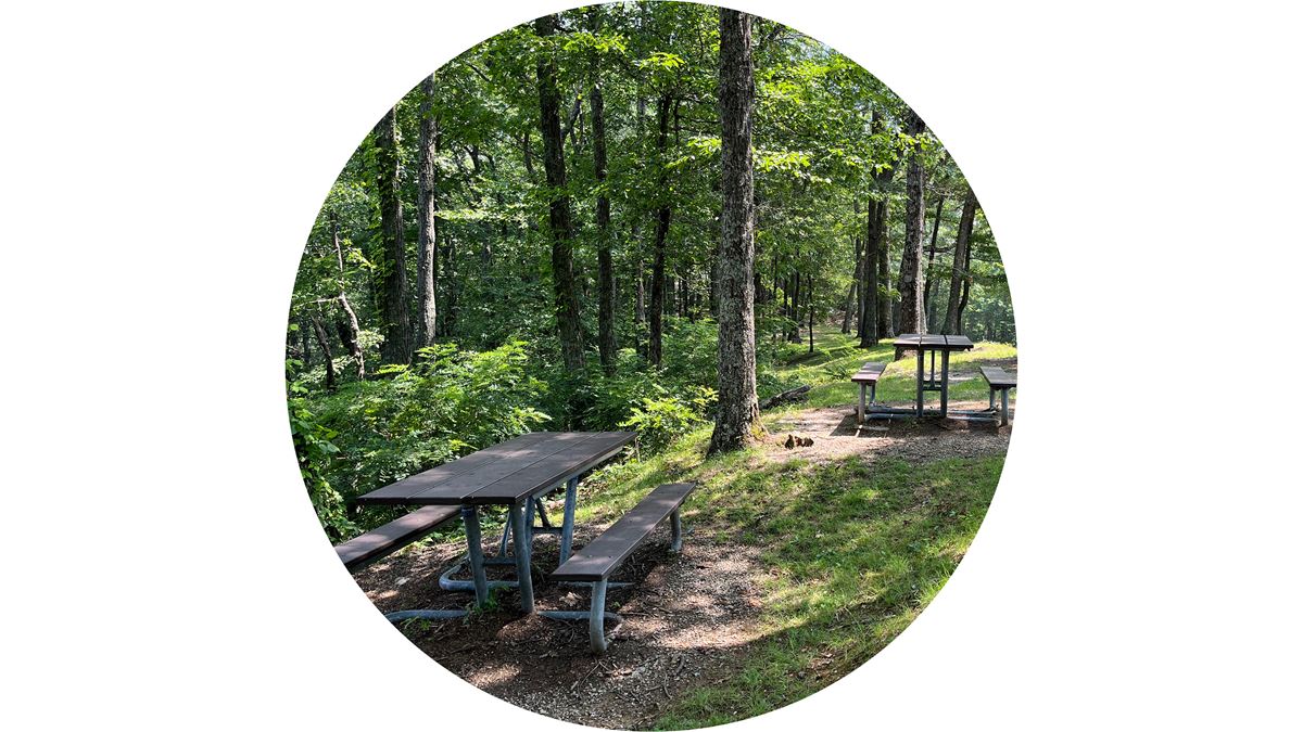
Look Rock Picnic Area and its restroom are about 0.3 miles away. Murray Gap Overlook is about 0.2 miles away.
When to go
Clear days provide the best chance of seeing Knoxville to the northwest. Sunset can add blue and purple color to the ridgelines.
Check current conditions and alerts on the park’s National Park Service website before visiting.
Before you go
Carry water, pack layers, and follow posted rules. Leave no trace.
Nearby services include a restroom and picnic area about 0.3 miles away. Look Rock Ranger Station and the campground fee booth are about 0.5 miles away.
Questions
Where is Look Rock Overlook?
It is on Foothills Parkway West in Great Smoky Mountains National Park.
How high is Look Rock Overlook?
Its elevation is about 2,640 feet.
Is there a trail at Look Rock Overlook?
Yes. Look Rock Developed Trail is about 0.5 miles as mapped by the National Park Service.
What can you see from Look Rock Overlook?
The overlook faces the Chilhowee Mountain ridges and Tennessee’s Great Valley. Knoxville may be visible on especially clear days.
Are restrooms available near Look Rock Overlook?
Yes. The Look Rock Picnic Area restroom is about 0.3 miles away.
Nearby
Trails
Places
- Look Rock Tower
- Look Rock
- Murray Gap Overlook Pulloff
- Murray Gap
- Murray Gap Overlook
- Look Rock Developed Trail Trailhead
- Look Rock Picnic Area Comfort Station
- Look Rock Picnic Area
On the map
5 trails7 places to see2 visitor services