











Great Smoky Mountains National Park
Look Rock Developed Trail
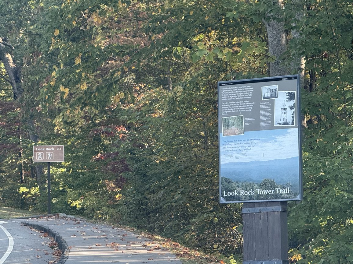
| Length | about 0.5 miles as mapped by NPS |
|---|---|
| Surface | Native |
| Route | One way (out and back doubles it) |
| High point | about 2,640 ft |
| Low point | about 2,430 ft |
| Up and down (one way) | about 200 ft up, 0 ft down |
| Difficulty | Moderate |
At a glance
- Length: About 0.5 miles as mapped by the National Park Service
- Route: Out and back
- Difficulty: Moderate
- Surface: Native
- One-way climb: About 200 feet
- Elevation: About 2,430 to about 2,640 feet
- Setting: Mixed hardwood and conifer forest
The mapped route is one way between different endpoints. Returning to the starting point doubles the walked distance.
Getting to the trailhead
The route begins near Murray Gap Overlook. Murray Gap Overlook Pulloff provides parking in the same area.
Sugarlands Visitor Center is about 23 miles away. Pigeon Forge is about 24 miles away, Gatlinburg about 25 miles, and Cherokee about 37 miles. These are straight-line distances.
Nearby airports include McGhee Tyson Airport and Asheville Regional Airport.
On the trail
From the first mapped point, the trail climbs about 200 feet without a mapped descent. The return follows the same route downhill.
Murray Gap Overlook is near mile 0.1. Look Rock is near mile 0.4, followed by Look Rock Overlook near mile 0.5.
Look Rock Tower is also in the immediate area. The Look Rock Picnic Area and its restroom are about 0.3 miles away.
When to go
Check current conditions and alerts on the park’s National Park Service website before choosing a date. Conditions can affect trail access and preparation.
Before you go
Carry a map and plenty of water. Pack layers, store food safely from bears, follow posted rules, and leave no trace.
Overnight backcountry use may require a permit through recreation.gov. Confirm current permit requirements before the trip.
Questions
How long is Look Rock Developed Trail?
It is about 0.5 miles as mapped by the National Park Service. Walking out and back doubles the distance.
How difficult is Look Rock Developed Trail?
The trail is rated moderate.
Where does Look Rock Developed Trail start and end?
The mapped route starts near Murray Gap Overlook and ends near Look Rock Overlook.
How much elevation does Look Rock Developed Trail gain?
The one-way route climbs about 200 feet, from about 2,430 feet to about 2,640 feet.
Is there parking near Look Rock Developed Trail?
Yes. Murray Gap Overlook Pulloff is in the trail area.
Nearby
Places
- Murray Gap Overlook Pulloff
- Murray Gap Overlook
- Look Rock Tower
- Look Rock Overlook
- Look Rock
- Look Rock Developed Trail Trailhead
- Murray Gap
- Look Rock Picnic Area Comfort Station
On the map
1 trail2 visitor services