











Great Smoky Mountains National Park
Gregory Ridge Trail
| Length | about 4.9 miles as mapped by NPS |
|---|---|
| Surface | Native |
| Route | One way (out and back doubles it) |
| High point | about 4,610 ft |
| Low point | about 1,940 ft |
| Up and down (one way) | about 2,650 ft up, 10 ft down |
| Difficulty | Strenuous |
At a glance
- Area: Cades Cove / Gregory Bald, Tennessee
- Length: About 4.9 miles as mapped by the National Park Service
- Route: Point to point
- Difficulty: Strenuous
- Surface: Native
- Elevation: About 1,940 feet to about 4,610 feet
- One-way climbing: About 2,650 feet
Getting to the trailhead
The mapped route begins near Gregory Ridge Trail Trailhead at the end of Forge Creek Road. Forge Creek Parking is at the trailhead.
Sugarlands Visitor Center is about 19 miles away. Gatlinburg is about 22 straight-line miles away, and Pigeon Forge is about 23 straight-line miles away. Cherokee is about 30 straight-line miles away.
Nearby airports include McGhee Tyson Airport and Asheville Regional Airport.
On the trail
Gregory Ridge Trail follows the main Cades Cove approach to Gregory Bald. It climbs steeply from the Forge Creek Road trailhead through cove hardwood forest.
As the trail gains elevation, the plant communities shift from cove hardwoods to northern hardwoods and then heath. The route ends near Gregorys Little Bald. Gregory Bald is about 0.7 miles away.
The mapped route gains about 2,650 feet and descends about 10 feet in the one-way direction. Its highest point is about 4,610 feet.
The trail’s ends are in different places. An out-and-back walk doubles the distance, with the main climb becoming the descent on the return.
Gregory Bald Trail connects at the route and is about 7.2 miles. Long Hungry Ridge Trail is about 0.1 miles away and is about 4.5 miles.
When to go
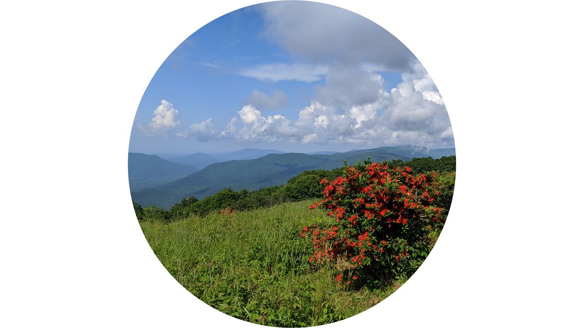
Gregory Bald is known for its June azalea display. Check current conditions and alerts on the park’s National Park Service website before choosing a date.
Before you go
Plan for a strenuous, steep climb on a native-surface trail. Carry water, pack layers, follow posted rules, and leave no trace.
Confirm road, trail, and parking conditions on the park’s National Park Service website. Remember that a point-to-point trip requires planning for two different ends.
Questions
How long is Gregory Ridge Trail?
It is about 4.9 miles as mapped by the National Park Service. The stated length is 5.6 miles one way.
How difficult is Gregory Ridge Trail?
It is rated strenuous and climbs steeply from the Forge Creek Road trailhead.
How much elevation does Gregory Ridge Trail gain?
The mapped one-way route gains about 2,650 feet, from about 1,940 feet to about 4,610 feet.
Is Gregory Ridge Trail an out-and-back trail?
It is a point-to-point route. Walking out and back doubles the distance.
When do azaleas bloom at Gregory Bald?
Gregory Bald is known for its June azalea display.
Nearby
Places
- Forge Creek Parking at End
- Rich Gap
- Gregory Ridge Trail Trailhead
- Post Cemetery
- Gregorys Little Bald
- Boring Cemetery
- Forge Knob
- Gregory Bald
On the map
1 trail7 places to see1 visitor service