Mount Rainier National Park in Summer: What to Expect and What to Do
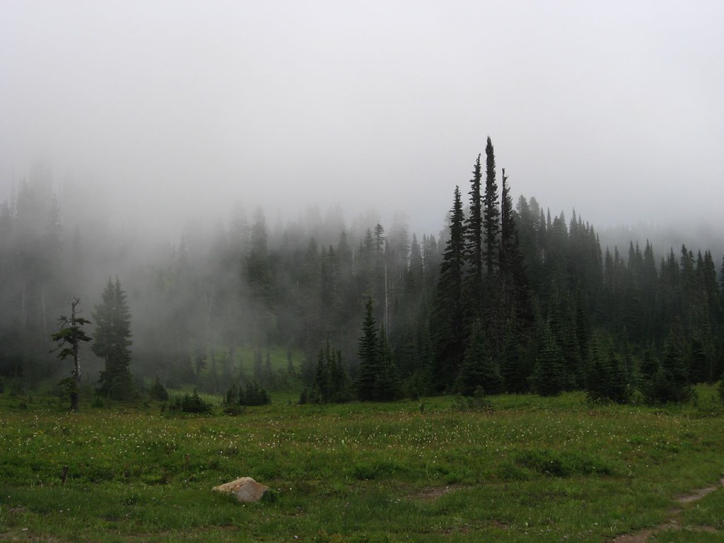
Photo: Ken Lund via Flickr (CC BY-SA 2.0)
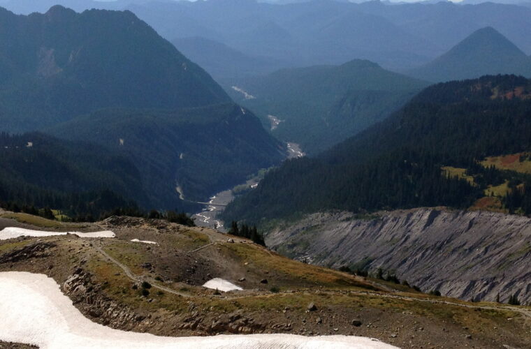
Mount Rainier National Park protects a 14,410 foot active volcano whose glaciers, deep river valleys, and extreme relief create several distinct summer environments. A warm afternoon at the Nisqually Entrance can coincide with fog, wind, and lingering snow near Paradise, almost 3,000 feet higher. Summer provides the broadest road and trail access, but conditions vary sharply from June through September.
Our team approaches a summer visit by choosing a park district first, then matching hikes to snow cover, wildflower timing, and expected congestion. This guide explains how the season progresses, which roads open the mountain’s major areas, when crowds affect parking, and how to choose dates based on hiking, scenery, or quieter trails.
How Mount Rainier National Park Is Organized for Summer Visits
Mount Rainier rises more than 11,000 feet above nearby lowlands, forcing moist Pacific air upward and producing heavy precipitation. That weather feeds 25 named glaciers, including Emmons Glacier, the largest glacier by surface area in the contiguous United States. Meltwater drains into rivers such as the Nisqually, Carbon, White, and Cowlitz, while repeated volcanic mudflows have shaped the broad valleys used by today’s approach roads.
Paradise, Sunrise, and the lower forest districts
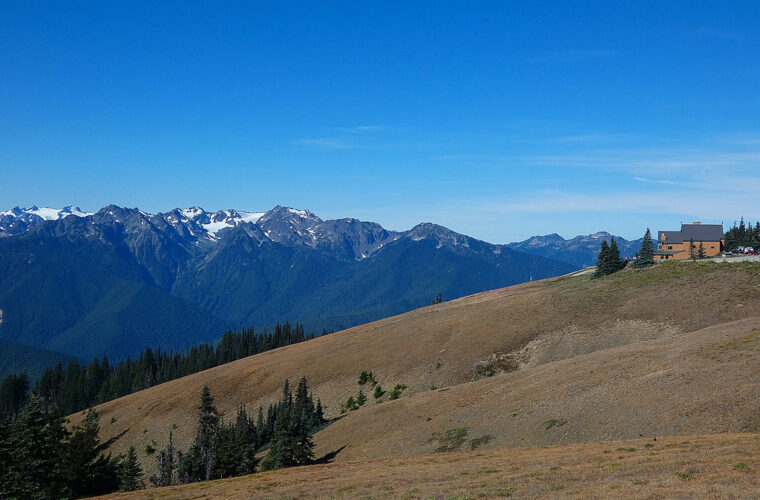
Paradise, on the south side at about 5,400 feet, combines subalpine meadows, glacier views, and trails toward Panorama Point. Sunrise, at approximately 6,400 feet, is the highest point reached by vehicle in the park and overlooks Mount Rainier, the White River valley, and the Cascade Range. Longmire occupies lower forest near the southwest entrance, while Ohanapecosh provides access to old growth forest on the southeast side. Carbon River and Mowich Lake serve the wetter, less developed northwest.
Elevation controls the summer experience
At Paradise, paved trail gives way to rougher rock as the Skyline Trail climbs toward Panorama Point. Snowfields can cover junctions early in summer, and cool air often drains from the Nisqually Glacier. On a clear July or August day, boots scrape volcanic grit, marmot whistles carry across the meadow, and the view opens suddenly above the trees. Mount Adams, Mount St. Helens, and sometimes Mount Hood appear beyond ridges while Rainier’s icefalls fill the northern skyline.
What to Expect at Mount Rainier National Park Through the Summer
The useful summer window usually begins gradually in June and contracts again during September. Lower forest trails can be accessible well before high routes emerge from snow. Wildflower timing follows snowmelt rather than a fixed calendar, so the same meadow may be green in one year and snow covered during the same week in another.
| Period | Typical access | Crowd pattern | Weather and trail conditions | Best suited to |
|---|---|---|---|---|
| June | Lower roads and valleys are most reliable; Sunrise and Mowich access may remain limited | Moderate overall, heavier on clear weekends | Substantial high elevation snow, cool nights, frequent cloud | Waterfalls, forests, snow travel, flexible itineraries |
| July through August | Broadest road and trail access | Heaviest at Paradise and Sunrise from late morning onward | Drier pattern, exposed alpine sun, lingering snow on higher routes | Wildflowers, long hikes, climbing, scenic drives |
| September | Usually broad early in the month, with seasonal services and roads beginning to wind down later | Lighter after the main vacation period | Cold mornings, shorter days, increasing chance of storms or early snow | Quieter hiking, clear air, fall color |
| October through May | Many high roads close; winter access concentrates around lower areas and Paradise when conditions allow | Low except during favorable snow recreation weekends | Heavy mountain snow, storms, avalanche terrain | Experienced winter visitors and snow recreation |
June brings waterfalls and persistent snow
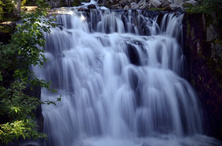
June visitors should plan around elevation. The Trail of the Shadows at Longmire and lower portions of the Carbon River corridor may be snow free while the Skyline Trail remains largely buried. Snowmelt strengthens Myrtle Falls, Narada Falls, and numerous unnamed cascades. Route finding becomes a serious issue above Paradise because footprints can diverge from the actual trail, especially during fog or fresh snow.
July and August provide the widest choice
These are the most dependable months for combining Paradise, Sunrise, Stevens Canyon, and longer alpine hikes. The 5.5 mile Skyline Trail gains roughly 1,700 feet and reaches broad views near Panorama Point. From Sunrise, the approximately 5.6 mile round trip to Mount Fremont Lookout crosses open tundra where mountain goats are sometimes visible. Wildflowers commonly peak from late July into August, although snowpack and spring temperatures can shift the display by several weeks.
September trades warmth for space
September often produces crisp mornings, clearer long distance views, and lighter weekday traffic. Huckleberry leaves and other subalpine plants begin turning red and gold around Paradise and Sunrise. The tradeoffs are shorter daylight, colder nights, reduced seasonal operations, and a growing possibility of snow at high elevations. Visitors attempting longer routes should carry insulation and a headlamp even when the lowlands feel warm.
Planning for Summer Crowds, Roads, and Entry at Mount Rainier National Park
Summer congestion is concentrated rather than evenly distributed. Paradise and Sunrise parking areas can fill during clear weekends, producing delays and forcing visitors to change hikes. Trail traffic is also uneven. The first mile of the Skyline Trail may feel busy, while routes extending toward Indian Henry’s Hunting Ground, Summerland, or Berkeley Park generally become quieter with distance and elevation gain.
Choose an entrance that matches the day’s objective
The Nisqually Entrance serves Longmire and Paradise from the southwest. The Stevens Canyon Entrance connects the southeast side with Paradise when the seasonal road is open. The White River Entrance leads toward Sunrise, while the route to Mowich Lake finishes on an unpaved road where washboard and potholes can slow travel. Driving between Paradise and Sunrise takes several hours once scenic stops, traffic, and mountain roads are included, so treating them as separate day trips is usually more efficient.
- Use Paradise for the Skyline Trail, Nisqually Vista, Myrtle Falls, and close glacier views.
- Choose Sunrise for Fremont Lookout, Burroughs Mountain, and expansive views over the White River valley.
- Base a forest focused day around Longmire, Ohanapecosh, or the Carbon River corridor.
- Reserve Mowich Lake for a full day because its approach road and limited parking make quick visits impractical.
Reservations and permits require advance attention
Entry systems, campground booking procedures, and seasonal road dates can change between summers, so confirm current details on the official park site before committing to an entrance or arrival time. Overnight backcountry trips require wilderness permits, with reservable and walk up availability managed separately. Climbers traveling above 10,000 feet or onto glaciers need a climbing permit. Popular backcountry zones and developed campgrounds are most difficult to secure for July and August weekends.
Match your dates to your highest priority
Travel in June if waterfalls and snow covered scenery matter more than completing high trails. Choose late July or August for the strongest odds of open alpine routes and meadow flowers, accepting crowded parking areas and busier trailheads. Early September works well for hikers comfortable with cold mornings and rapidly changing forecasts. For any period, starting near sunrise improves parking odds and leaves time to turn around safely if cloud, heat, or thunderstorms develop.
How Summer Trail Access Changes at Mount Rainier National Park
Road openings do not mean every connected trail is ready for ordinary hiking. North facing slopes, shaded basins, and high passes retain snow weeks after nearby meadows emerge. Early summer hikers may encounter steep snow on the route to Panorama Point, Burroughs Mountain, or Summerland. Stream crossings also become stronger during warm afternoons as glacier and snow melt increases, making an easy morning crossing deeper on the return.
High routes often mature late
The 9.4 mile round trip to Summerland gains about 2,400 feet from the Fryingpan Creek trailhead and commonly holds snow in its upper basin into July. The Third Burroughs Mountain route climbs above 7,800 feet, where exposure, wind, and lingering snow can persist even after Sunrise opens. Wonderland Trail hikers should expect earlier season snow around Panhandle Gap, Spray Park, and other high sections, plus damaged bridges or reroutes after winter storms.
Lower trails provide reliable alternatives
When alpine travel is impractical, lower elevations still offer substantial hiking. The Eastside Trail follows old growth forest and the Ohanapecosh River, while the Carbon River corridor enters one of the park’s wettest forests beneath Douglas fir, western red cedar, and moss covered maples. The approximately 7 mile round trip to Green Lake gains about 1,300 feet and provides a useful northwest alternative when Mowich Lake remains inaccessible.
Build a Day Around One Part of the Mountain
Mount Rainier National Park covers 369 square miles, and its roads curve around deep valleys rather than crossing the summit area. A successful day usually combines one major hike with nearby short stops. Attempting Sunrise and Paradise together can consume the middle of the day in the car, precisely when parking pressure and afternoon cloud development are greatest.
Compare areas by effort and objective
| Area | Good full day objective | Approximate hiking commitment | Main planning factor |
|---|---|---|---|
| Paradise | Skyline Trail loop | 5.5 miles, about 1,700 feet of gain | Snow, exposed sun, and heavy midday foot traffic |
| Sunrise | Mount Fremont Lookout | About 5.6 miles round trip, roughly 900 feet of gain | Limited shade and frequent wind above Frozen Lake |
| White River | Summerland | 9.4 miles round trip, about 2,400 feet of gain | Small trailhead and late snow in the upper basin |
| Mowich Lake | Spray Park | Roughly 6 to 8 miles, depending on turnaround | Unpaved approach and steep climbing beyond Spray Falls |
Use early hours for the busiest terrain
Begin the primary hike first, then use the afternoon for overlooks, waterfalls, or forest walks near the same road. At Paradise, that can mean hiking Skyline before visiting Narada Falls. From Sunrise, complete Fremont Lookout before exploring shorter sections near Sunrise Point. This sequence reduces parking uncertainty and places the most strenuous climbing in cooler temperatures.
- Carry lunch and water before entering the park so a food stop does not disrupt an early start.
- Download maps because valleys and ridges can interrupt mobile service.
- Choose a lower elevation backup hike before departure.
- Leave extra driving time for wildlife, construction, and slow traffic on narrow mountain roads.
Prepare for Mountain Weather and Wildlife
Rainier creates its own weather patterns. Clear morning views can disappear behind orographic cloud by afternoon, while temperatures near Paradise or Sunrise may remain 15 to 25 degrees cooler than communities outside the park. Summer heat is also possible on exposed slopes. Sun reflecting from lingering snow increases burn risk, and dry volcanic soil offers little shade above the subalpine forest.
Carry equipment for the elevation
A practical summer pack includes a waterproof shell, insulating layer, sun protection, navigation, headlamp, food, and more water than a short mileage estimate suggests. Traction devices may help on firm early season snow, but they do not replace ice axe skills on steep slopes. Turn around when a snow traverse ends above rocks, cliffs, or fast water and a fall cannot be stopped safely.
Give animals room to move
Black bears inhabit forest and meadow areas, while mountain goats frequent cliffs around Sunrise, Burroughs Mountain, and the Tatoosh Range. Marmots often sit close to popular trails but may defend burrows or seek salty gear. Store food securely, never feed wildlife, and increase distance if an animal changes direction, stops feeding, or watches you. Mosquitoes can be intense around melting snow and wet meadows from July into August.
Choosing the Right Time to Visit Mount Rainier National Park in Summer
Choose June for forceful waterfalls, green lowland forest, and snow covered high country. Late July and August provide the best probability of reaching alpine viewpoints, completing longer trails, and seeing subalpine wildflowers. Early September favors hikers seeking cooler temperatures, autumn color, and fewer people, provided they can adjust quickly to shorter days and early storms.
The strongest plan pairs one district with one primary objective and one lower elevation alternative. Check the forecast, trail conditions, and road status shortly before departure, then start early enough to accommodate congestion or weather. That structure preserves flexibility while making the most of Mount Rainier National Park’s brief and highly variable summer season.
Want to keep exploring? Browse all our Mount Rainier guides and articles for more trip-planning tips and ideas.
Gear & Essentials
Tell us about your trip and we will add what else you will want:
The basics
Worth having in the car whatever the park.
For this trip
Traveling with kids
Bringing a pet
RVing
Backcountry
On the water
Photography
Accessibility
As an Amazon Associate we earn from qualifying purchases, at no extra cost to you.