5 Best Summer Hikes in Sequoia National Park
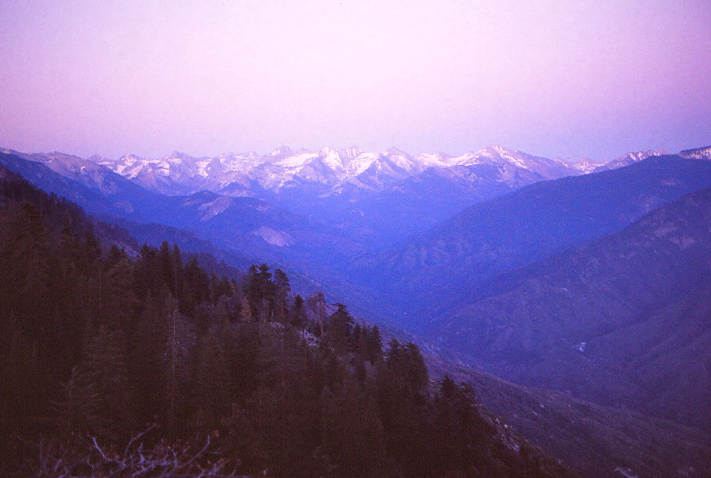
Photo: Ladycliff via Flickr (CC BY 2.0)
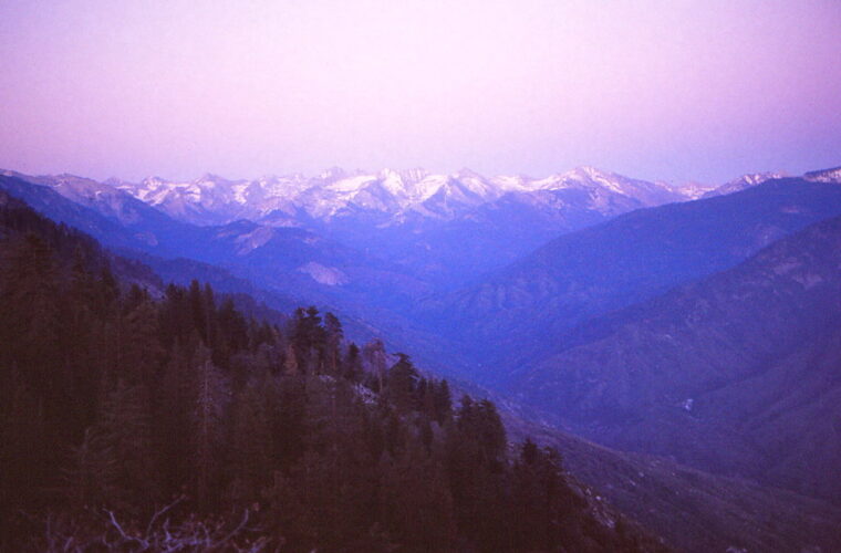
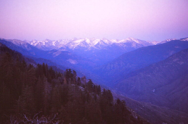
Our guide to the Best Summer Hikes Sequoia has to offer begins at dawn on Moro Rock, where cool granite presses through thin shoe soles and the staircase rises between rounded fins of stone. At 6,725 feet, the summit overlooks the Great Western Divide as sunlight reaches its serrated ridgeline. The air is often still early in the morning, but the exposed steps heat quickly once the sun clears the forest.
Sequoia National Park spans a steep elevation range, from hot foothill canyons to Mount Whitney at 14,494 feet. As a result, “summer” arrives at different times across the park. Giant Forest trails may be clear while alpine routes remain buried under snow. Our five selections account for that progression, balancing giant sequoias, waterfalls, granite summits, moderate walks, and one demanding high country climb.
Why the Best Summer Hikes in Sequoia National Park Depend on Elevation
Most first time visitors hike around Giant Forest, Lodgepole, and the Generals Highway corridor. These areas sit roughly between 6,400 and 8,000 feet, high enough for cooler temperatures than the foothills but low enough for dependable midsummer access. The selected trails range from a half mile granite staircase to a 14 mile summit route, so visitors can match effort to weather, daylight, and acclimatization.
Three Landscapes Within One Park
The foothills near the Ash Mountain entrance support blue oak woodland, chaparral, and the Middle Fork of the Kaweah River. Summer temperatures there can exceed 100 degrees Fahrenheit. Higher on the Generals Highway, ponderosa pine, white fir, sugar pine, and giant sequoias replace the dry slopes. Above about 9,000 feet, red fir forest gives way to lodgepole pine, exposed granite, and alpine vegetation shaped by snow and wind.
This elevation gradient affects trail choice more than the calendar alone. Tokopah Falls often has its strongest flow during snowmelt, while Alta Peak may retain steep snowfields into early summer. Congress Trail, by comparison, lies beneath a mature forest canopy and usually becomes practical earlier. Afternoon thunderstorms also develop more readily over high ridges, making an early start essential for exposed summits.
How We Chose the 5 Best Summer Hikes in Sequoia National Park
Our team prioritized trails that reveal distinct parts of the park rather than five variations of the same forest walk. Congress Trail provides close views of giant sequoias. Tokopah Falls follows a glacially carved canyon. Moro Rock and Little Baldy offer granite summits at different difficulty levels. Alta Peak supplies the demanding high country objective experienced hikers expect from the southern Sierra Nevada.
- Scenery: Each route reaches a defining feature such as a sequoia grove, waterfall, dome, or summit.
- Seasonal value: The trail has a clear reason to hike it during summer.
- Range of effort: The list includes short walks, moderate half day hikes, and a strenuous full day ascent.
- Geographic variety: The routes cover Giant Forest, Lodgepole, and the higher Wolverton area.
- Day hiking practicality: Every selection can be completed without an overnight wilderness camp.
Granite, Glaciers, and Giant Sequoias
Sequoia’s rounded domes and pale cliffs consist largely of granitic rock formed from magma that cooled underground more than 80 million years ago. Erosion later removed overlying material, while Ice Age glaciers widened canyons such as Tokopah Valley. Giant sequoias occupy a narrower ecological band on moist western slopes. Their thick, fire resistant bark and heat released seeds connect the groves to periodic low intensity fire.
When the Best Summer Hikes in Sequoia National Park Are Ready
July through September generally provides the broadest trail access, but each portion of that window involves tradeoffs. Early summer brings waterfalls and lingering snow. Midsummer offers the most reliable high elevation footing, along with larger crowds and hotter afternoons. September often brings cooler hiking weather and quieter weekdays, although shortening daylight and the possibility of early snow narrow the margin on long routes.
A Practical Seasonal Comparison
The table treats summer as a sequence rather than a single uniform season. Snowpack varies substantially between years, so late June can resemble spring after a wet winter or feel fully summery after a dry one. Elevation remains the best guide: conditions at Giant Forest can differ sharply from those on Alta Peak, roughly 4,700 vertical feet higher.
| Period | Typical conditions | Crowd pattern | Likely trail access | Best emphasis |
|---|---|---|---|---|
| May to mid June | Cool forest temperatures, strong runoff, snow at higher elevations | Moderate, with holiday surges | Lower forest trails first, alpine routes uncertain | Sequoia groves and waterfalls |
| Late June to July | Long daylight, melting snow, warming afternoons | Heavy around Giant Forest and Lodgepole | Most middle elevation trails open, high routes variable | Tokopah Falls, Moro Rock, Little Baldy |
| August | Dry footing, hot foothills, regular afternoon thunderstorm risk | Heavy at major trailheads | Broadest access in a typical year | High elevation day hikes |
| September to early October | Cool mornings, shorter days, possible early storms | Lighter after summer holidays | Usually broad until weather changes | Summits and quieter forest walks |
How Crowds Change the Hiking Day
Congestion matters most around the General Sherman Tree, Giant Forest Museum, Moro Rock, and Lodgepole. Full parking areas can add walking time or require use of the park’s seasonal transportation system. On narrow Moro Rock stairs, opposing foot traffic also slows the climb. Congress Trail becomes noticeably quieter beyond the General Sherman area, particularly around the House and Senate groups of mature sequoias.
Starting before 8 a.m. improves parking odds and reduces heat exposure, but it also changes the quality of the hike. Tokopah Valley remains shaded longer in the morning, and granite viewpoints are less exposed to developing thunderstorms. Visitors should check current road status, entrance requirements, transportation operations, fire restrictions, and any permit rules on the official park site before departure.
Permits, Roads, and Trail Access
These five routes are day hikes and generally do not require wilderness permits when completed without an overnight stay. Backpacking trips do require wilderness permits, with quota systems applying during the main season. Entrance arrangements and any temporary access controls can change. The Generals Highway is steep and winding, and travel between the foothills entrance and Giant Forest takes longer than mileage alone suggests.
At a Glance: 5 Best Summer Hikes in Sequoia National Park
The figures below are useful planning estimates. Signed routes, temporary diversions, and the exact parking location can alter distance slightly. Elevation gain matters as much as mileage because several trails begin above 6,500 feet, where visitors arriving from low elevations may notice faster breathing and slower recovery.
| Hike | Approximate distance | Elevation gain | Highest point | Best timing |
|---|---|---|---|---|
| Moro Rock | 0.5 mile round trip | About 300 feet | 6,725 feet | Early morning |
| Congress Trail and General Sherman Tree | About 3 miles | Moderate rolling terrain | About 7,000 feet | Morning or late afternoon |
| Tokopah Falls | 3.4 miles round trip | About 500 feet | About 7,200 feet | Early summer morning |
| Little Baldy | 3.4 miles round trip | About 700 feet | 8,044 feet | Clear morning |
| Alta Peak | About 14 miles round trip | About 4,000 feet | 11,204 feet | Snow free midsummer day |
Choosing the Right Trail for Your Priorities
Choose Congress Trail for sequoias and manageable terrain, Tokopah Falls for flowing water and glacial geology, and Moro Rock for the greatest view relative to distance. Little Baldy suits hikers wanting a quieter summit with a sustained forest climb. Alta Peak requires strong fitness, early departure, stable weather, and enough experience to turn around if snow, lightning, fatigue, or altitude symptoms make continued travel unsafe.
A Simple Decision Order
- Check which roads and trailheads are accessible.
- Compare the route’s highest elevation with recent snow conditions.
- Use the weakest hiker’s comfortable distance and climbing ability.
- Choose a start time that avoids heat and exposed ridges in the afternoon.
- Carry more water than a similar hike at home, especially if arriving from sea level.
Match Each Route to the Summer Calendar
Trail readiness follows snowmelt rather than a fixed opening date. Congress Trail and Moro Rock often become practical before Alta Peak because both remain below 7,000 feet. Tokopah Falls reaches its seasonal peak while snow is still melting above the canyon. Little Baldy occupies the middle ground at 8,044 feet, where shaded switchbacks can hold snow after sunny slopes have dried.
Early Summer Favors Waterfalls and Sequoia Groves
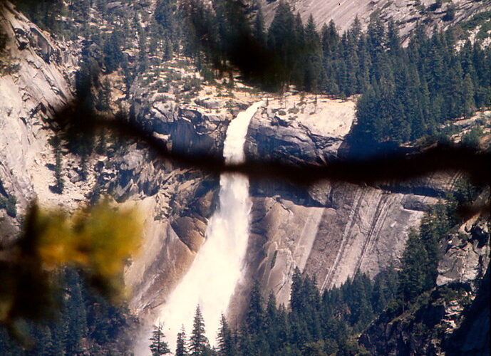
From late May into June, Tokopah Falls benefits from runoff draining the Marble Fork watershed. The final approach crosses exposed granite beside a cascade that drops roughly 1,200 feet in several stages. High water, wet slabs, and cold spray make the established viewpoint the sensible stopping place. Congress Trail is another strong early choice because its forest setting provides shade and avoids the steep snowfields found near Alta Meadow and Panther Peak.
Late Summer Opens the High Country
Alta Peak becomes most approachable after snow has disappeared from the upper switchbacks and summit ridge. August commonly provides dry footing, although thunderstorms can build quickly above the Great Western Divide. September brings cooler climbing temperatures and fewer insects around Wolverton, but daylight declines rapidly. A 14 mile hike that felt comfortable in July may require a headlamp finish when started at the same hour near the autumn equinox.
Build a Hiking Day Around Real Park Travel Times
Sequoia’s winding roads make trail combinations less intuitive than they appear on a map. Congress Trail and Moro Rock lie within the Giant Forest corridor, while Tokopah Falls begins near Lodgepole and Alta Peak starts at Wolverton. Little Baldy sits farther north along the Generals Highway. Concentrating on one corridor reduces driving, parking searches, and repeated elevation changes.
Pair Short Hikes Without Rushing
Moro Rock and Congress Trail form the most efficient pairing for a moderate day. Complete the rock staircase during the cool morning, then move into Giant Forest as temperatures rise. The Congress Trail loop passes the President Tree, Chief Sequoyah Tree, and the House and Senate groups. Allow extra time for the climb back toward the General Sherman area, which feels steeper after several hours at approximately 7,000 feet.
Give Longer Routes Their Own Day
Tokopah Falls deserves a separate morning when runoff is strong, while Little Baldy works well as a half day objective followed by a scenic drive. Alta Peak should stand alone. Its route climbs from Wolverton through red fir forest, passes the junction for Alta Meadow, and continues onto exposed granite. Adding another hike afterward creates little practical value and can delay recovery from altitude, heat, and sustained climbing.
Prepare for Sierra Weather, Altitude, and Wildlife
The Best Summer Hikes Sequoia visitors choose often begin at elevations higher than many mountain towns. Headache, nausea, unusual fatigue, and poor coordination can indicate altitude illness. Rest, hydration, and a lower sleeping elevation may help mild symptoms, but worsening symptoms call for immediate descent. Visitors arriving from the coast should consider Congress Trail or Tokopah Falls before attempting Alta Peak.
Read the Sky Before Reaching Exposed Granite
Clouds that grow vertically over the crest signal developing convection. Thunder carries farther in open alpine terrain than it does through dense forest, and lightning can strike beyond the darkest portion of a storm. Leave Moro Rock, Little Baldy, and Alta Peak when thunder becomes audible. Granite ledges, isolated trees, railings, and summit blocks provide poor shelter, so waiting on top for a storm to pass is unsafe.
Carry Equipment for the Route, Not the Forecast
Even a clear morning can lead to sharp temperature changes above 8,000 feet. Black bears also occur throughout the developed corridor, and unattended food or scented items can draw them toward parking areas. Keep food under direct control and use required storage systems where provided.
- For every route: Carry water, sun protection, a trail map, and a warm layer.
- For Tokopah Falls: Wear shoes with traction for sandy granite and wet patches.
- For Little Baldy: Pack wind protection because the summit dome is exposed.
- For Alta Peak: Bring a headlamp, insulating layer, rain shell, extra food, and an offline navigation tool.
- For lingering snow: Use traction equipment only when you understand its limitations and can assess the consequences of a slide.
Choose the Hike That Fits Your Summer Visit
For most first visits, Congress Trail provides the clearest introduction to the park’s giant sequoias, while Moro Rock adds a short summit with expansive views. Tokopah Falls is strongest during runoff, Little Baldy rewards hikers seeking a quieter overlook, and Alta Peak belongs on an itinerary built around fitness, acclimatization, and stable high country conditions.
Use elevation and recent snowmelt to decide when to go, then account for road travel, crowd delays, and afternoon weather when setting a start time. A flexible plan with one primary hike and one lower elevation alternative works better than a rigid schedule. That approach preserves the day when smoke, storms, fatigue, or lingering snow changes what can be completed safely.
Want to keep exploring? Browse all our Sequoia guides and articles for more trip-planning tips and ideas.
Gear & Essentials
Tell us about your trip and we will add what else you will want:
The basics
Worth having in the car whatever the park.
For this trip
Traveling with kids
Bringing a pet
RVing
Backcountry
On the water
Photography
Accessibility
As an Amazon Associate we earn from qualifying purchases, at no extra cost to you.