7 Best Things to Do in Great Smoky Mountains National Park
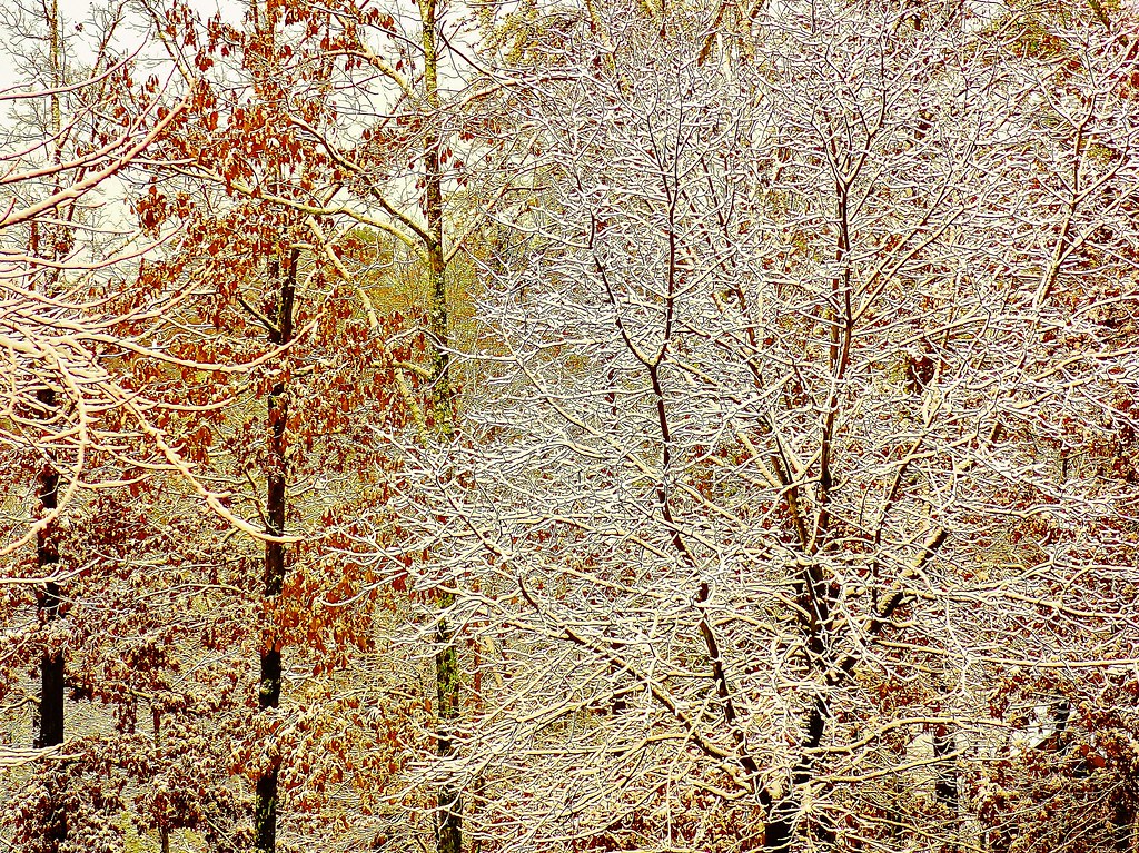
Photo: Olin Gilbert via Flickr (CC BY 2.0)
The best things Great Smoky Mountains National Park visitors can do begin above 5,000 feet, where Appalachian spruce and fir replace the hardwood forest found in the valleys. Elevation changes from roughly 875 feet to 6,643 feet within the park, producing sharp differences in temperature, rainfall, wildlife habitat, and spring leaf-out. A warm afternoon beside the Little River can coincide with cold wind and dense fog along the state-line ridge.
The park covers more than 522,000 acres across Tennessee and North Carolina, with over 800 miles of trails and no single central entrance. Our team recommends organizing a first visit around three landscapes: the high ridge crossed by Newfound Gap Road, the historic fields of Cades Cove, and the river valleys branching toward waterfalls and quieter trailheads. This first half covers the first three of seven essential experiences.
Planning the 7 Best Things to Do in Great Smoky Mountains National Park
Newfound Gap Road, signed as U.S. 441, is the park’s primary north to south route. It climbs approximately 33 miles between Gatlinburg, Tennessee, and Cherokee, North Carolina, crossing the Appalachian crest at 5,046-foot Newfound Gap. Cades Cove lies west of this corridor and requires a separate approach through Townsend and Laurel Creek Road. Curving roads, wildlife stops, fog, and limited parking often make driving times longer than mileage suggests.
Match each park corridor to a landscape
The Sugarlands and Little River corridor provides access to lower-elevation streams, hardwood forest, and routes toward Elkmont and Townsend. Newfound Gap Road reaches high-elevation overlooks, the Appalachian Trail, Alum Cave Trail, and the turnoff for Kuwohi. On the North Carolina side, the Oconaluftee valley contains broad riverside meadows and historic farm buildings. Choosing one corridor per half day prevents repeated mountain crossings and leaves time to walk beyond roadside overlooks.
Which of the 7 Best Things to Do in Great Smoky Mountains National Park to Schedule First
| Experience | Key distance | Elevation | Best timing |
|---|---|---|---|
| Kuwohi summit | 1 mile round trip | 6,643 feet | Clear morning or sunset |
| Alum Cave Trail | 4.4 miles round trip to Alum Cave Bluff | About 4,950 feet at the bluff | Early morning |
| Cades Cove Loop | 11-mile driving loop | About 1,800 feet | Dawn or late afternoon |
Road access to Kuwohi is generally seasonal, while ice, storms, construction, and wildlife activity can affect other roads and trails. Parking at Alum Cave and Cades Cove can fill early during summer, October foliage, and holiday weekends. Current road status, vehicle restrictions, event closures, fees, and operating details should be confirmed on the official park site before departure.
High-Ridge Highlights Among the Best Things Great Smoky Mountains Visitors Can Do
The park’s highest terrain reveals why the Smokies support exceptional biodiversity. Moist air rises against the mountains, cools, and produces abundant precipitation. Northern hardwood forest gives way to red spruce and Fraser fir near the crest, creating habitat more typical of New England. These elevations can be 10 to 20 degrees Fahrenheit cooler than nearby valleys, so a light layer and rain shell belong in the vehicle even on a warm summer day.
1. Reach the summit of Kuwohi
Kuwohi, formerly called Clingmans Dome, is the highest point in Great Smoky Mountains National Park and Tennessee at 6,643 feet. From the upper parking area, a paved half-mile path climbs steeply to a concrete observation tower. The grade is sustained enough to challenge visitors who are comfortable walking longer distances on level ground. Benches along the route allow for pauses, and the Appalachian Trail crosses near the base of the summit path.
Read the view before committing to the climb
Clouds frequently cover the summit even when valley skies appear clear. On transparent days, the tower reveals overlapping ridges extending across Tennessee and North Carolina. Atmospheric haze, humidity, and pollution often shorten visibility. Sunrise tends to bring calmer conditions and softer light, while sunset requires preparing for falling temperatures and a dark return to the parking area. Avoid exposed high points when thunder is audible.
2. Hike through Arch Rock to Alum Cave Bluff
Alum Cave Trail follows Alum Cave Creek before climbing through Arch Rock, where stone steps and a hand cable help hikers pass through a natural opening in the rock. The trail then crosses exposed slopes to Alum Cave Bluff, a large concave overhang rather than a true cave. The 4.4-mile round trip gains roughly 1,200 feet. Continuing to Mount Le Conte turns the outing into an approximately 11-mile round trip with much greater elevation gain.
What the bluff feels like underfoot
Near Alum Cave Bluff, packed forest soil gives way to pale, gritty rock polished by thousands of boots. The ceiling curves overhead, while the ground slopes toward an open view across folded ridges. Water can drip from the overhang after rain and freeze across the trail in winter. The climb feels steeper here because secure footing demands attention, yet the cool shade provides immediate relief on humid mornings.
Carry water and traction appropriate to the season, and start early enough to avoid adding roadside walking when the small trailhead parking areas fill. Useful equipment includes:
- Trail shoes with dependable grip for wet rock and exposed roots
- A rain shell, even when the valley forecast looks dry
- At least one liter of water per person for the bluff, with more for Mount Le Conte
- A headlamp if continuing beyond the bluff or beginning before sunrise
- A map downloaded for offline use, since mobile service is unreliable
3. Explore Cades Cove beyond the windshield
Cades Cove occupies a broad limestone valley surrounded by forested mountains in the western park. Cherokee people used this region long before European American settlement expanded during the early 1800s. Preserved cabins, churches, barns, and a working gristmill now document the later community. The 11-mile one-way loop road connects these structures with open fields where white-tailed deer, wild turkeys, coyotes, and black bears may appear.
Drive the loop with deliberate stops
Allow at least three hours for the loop, even though the road distance appears short. Traffic frequently slows when animals approach the fields, and historic sites require short walks from parking pullouts. The John Oliver Cabin illustrates early log construction, while the Primitive Baptist, Methodist, and Missionary Baptist churches reflect the valley’s dispersed community. Cable Mill provides the most concentrated group of historic agricultural buildings along the route.
Walk to Abrams Falls from the cove
The Abrams Falls Trail adds a substantial hike to a Cades Cove day. The route covers about 5 miles round trip through pine-oak forest and along Abrams Creek, with approximately 675 feet of cumulative climbing. The waterfall drops only about 20 feet, but the creek’s high volume creates a powerful curtain and deep plunge pool. Swimming near the falls is hazardous because of strong currents, cold water, and submerged rocks.
Improve the odds of seeing wildlife safely
Dawn and the final hours of daylight provide the best viewing conditions around open fields. Scan field edges with binoculars rather than approaching animals or stopping in the traffic lane. Keep at least 50 yards from bears and elk, secure food inside the vehicle, and never surround an animal for photographs. Temporary trail closures can follow bear activity, as recent bear incidents and safety reminders demonstrate.
Follow Roaring Fork into a wetter side of the Smokies
Roaring Fork drains a steep watershed immediately east of Gatlinburg, yet its narrow road and close forest feel removed from the Newfound Gap corridor. The 5.5-mile, one-way Roaring Fork Motor Nature Trail passes boulder-filled streams, log cabins, and traces of small farms built on demanding terrain. The road is generally closed during winter and is unsuitable for oversized vehicles. When open, its tight curves and frequent pedestrian traffic make a slow circuit essential.
4. Walk behind Grotto Falls
Grotto Falls is reached by a roughly 2.6-mile round trip on the Trillium Gap Trail, with about 585 feet of elevation gain. The 25-foot waterfall is distinctive because the trail passes behind its curtain, where spray keeps the rock damp and temperatures noticeably cooler. Expect roots, mud, and slippery stone near the falls. Black bears sometimes use this watershed, while hikers continuing beyond the waterfall can reach Brushy Mountain and Mount Le Conte.
Read the history along the motor trail
The Noah “Bud” Ogle homestead sits near the beginning of the corridor and includes a cabin, barn, and tub mill connected by a short walking trail. Farther along, the Ephraim Bales and Alfred Reagan sites show how families arranged barns, corncribs, mills, and tiny fields beside reliable water. These stops explain the landscape better than a continuous drive because forest now covers many former pastures, orchards, and household clearings.
Cross to North Carolina for elk and close-set waterfalls
The park’s southern valleys are quieter than the Tennessee gateways during many parts of the year. Oconaluftee is reached from Cherokee along U.S. 441, while Deep Creek lies outside Bryson City. Combining them creates an efficient full day without crossing Newfound Gap twice. Among the Best Things Great Smoky visitors can do, this pairing provides the clearest contrast between open valley habitat and a shaded Appalachian stream corridor.
5. Watch elk in Oconaluftee Valley
Elk were reintroduced to the Smokies in 2001 after disappearing from the region during the nineteenth century. They now graze around Oconaluftee’s meadows, particularly near dawn and evening. Autumn brings the rut, when bulls bugle and may behave aggressively. Remain at least 50 yards away and use a vehicle or long lens as a viewing position. The nearby Mountain Farm Museum preserves relocated log buildings beside the river, including a farmhouse, barn, smokehouse, and corncrib.
6. Link three Deep Creek waterfalls
A roughly 2.4-mile circuit can connect Tom Branch Falls, Indian Creek Falls, and Juney Whank Falls. Tom Branch drops about 60 feet into Deep Creek and is visible from the main path. Indian Creek Falls spreads across a sloping rock face, while Juney Whank is reached by a steeper forest trail and footbridge. The broad lower path follows a former logging grade, but side trails add roots, steps, and short climbs.
| Stop | Primary feature | Walking character |
|---|---|---|
| Oconaluftee Valley | Elk and historic farm buildings | Level riverside paths and open fields |
| Tom Branch Falls | Approximately 60-foot cascade | Easy creekside approach |
| Indian Creek Falls | Broad, sloping waterfall | Short spur from the main trail |
| Juney Whank Falls | Waterfall crossed by a footbridge | Steeper wooded loop |
Use Elkmont to understand the park’s human landscape
Elkmont developed first around logging and later as a mountain vacation community. The Little River Lumber Company used rail lines to remove timber from surrounding watersheds, and passenger excursions helped introduce urban residents to the mountains. Surviving cottages in the Elkmont Historic District reflect that later resort era. Today, nearby trails follow stream valleys and old transportation grades, making the area useful for families and hikers seeking moderate terrain.
7. Walk the Little River Trail
Little River Trail begins near the historic district and follows a broad former railroad bed beside the water. An out-and-back walk can be adjusted to available time, with the Cucumber Gap Trail junction about 2.4 miles from the trailhead. Spring brings fringed phacelia, foamflower, and yellow trillium along moist banks. After heavy rain, side streams rise quickly and rocks beside the river become slick, so children should remain away from swift channels.
Prepare for changing valley conditions
Elkmont is lower and warmer than Kuwohi, but dense tree cover keeps the river corridor damp. Afternoon thunderstorms are common in summer, and darkness arrives early beneath the canopy. The area is also associated with synchronous fireflies, whose brief mating display draws tightly managed visitation. Readers planning around that phenomenon can review the announced 2026 annual firefly viewing event dates.
- Carry a headlamp rather than relying on a phone battery.
- Pack insect repellent for humid stream corridors.
- Keep food and scented items secured from bears.
- Choose river crossings cautiously after storms.
Build an Itinerary Around the 7 Best Things to Do in Great Smoky Mountains National Park
The seven experiences work best when grouped geographically. Reserve one day for Kuwohi, Newfound Gap, and Alum Cave Trail. Give Cades Cove and Abrams Falls a separate day because traffic and hiking time are difficult to predict. Roaring Fork fits into a half day from Gatlinburg, while Oconaluftee and Deep Creek pair naturally on the North Carolina side. Elkmont can fill a quieter morning or afternoon along the Little River corridor.
This route-based approach accounts for the park’s greatest planning challenge: short map distances can involve slow mountain roads, crowded trailheads, and major elevation changes. Begin early, carry layers and rain protection, and leave space for wildlife delays. With those basics handled, the itinerary reveals the Smokies through high peaks, historic valleys, powerful streams, recovering wildlife, and forests shaped by both climate and human use.
Want to keep exploring? Browse all our Great Smoky Mountains guides and articles for more trip-planning tips and ideas.
Gear & Essentials
Tell us about your trip and we will add what else you will want:
The basics
Worth having in the car whatever the park.
For this trip
Traveling with kids
Bringing a pet
RVing
Backcountry
Winter conditions
On the water
Photography
Accessibility
As an Amazon Associate we earn from qualifying purchases, at no extra cost to you.