Great Smoky Mountains National Park Camping Guide: Campgrounds, Reservations and Tips
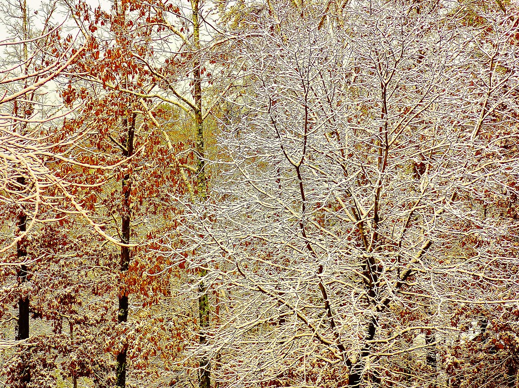
Photo: Olin Gilbert via Flickr (CC BY 2.0)
Great Smoky Mountains National Park camping works best when you choose a campground for the correct park entrance, elevation, and road access, then reserve before planning the rest of the trip. The park has 10 developed frontcountry campgrounds spread across Tennessee and North Carolina. None sits near every major attraction, and driving between areas can consume several hours on steep, winding roads.
Elkmont, Cades Cove, Smokemont, and Cosby suit most first visits because they combine substantial camping capacity with direct access to trails and scenic roads. Smaller campgrounds such as Big Creek, Cataloochee, Abrams Creek, and Balsam Mountain provide quieter settings, but narrow approach roads, seasonal operations, limited large RV access, or fewer services require more preparation.
How Great Smoky Mountains National Park Camping Is Organized
Frontcountry, backcountry, group, and horse camps
Frontcountry campgrounds have individual sites reached by vehicle. Campers park at or close to their site and use shared restrooms. The park does not provide electrical, water, or sewer hookups at individual campsites, so RV travelers must arrive ready for dry camping. Generator use is restricted to designated hours, and tree cover can limit solar charging.
Backcountry camping involves hiking to designated shelters or campsites and requires a separate permit and itinerary. Group campgrounds accommodate organized parties but use their own site capacities and reservation rules. Five horse camps serve riders using the park’s extensive network of equestrian trails. These categories are booked separately, so selecting “camping” without checking the site type can produce an unsuitable reservation.
Geography matters more than mileage
Newfound Gap Road crosses the park between Gatlinburg and Cherokee, climbing to Newfound Gap at 5,046 feet. Little River Road links the Sugarlands area with Townsend and Cades Cove, while several outlying campgrounds sit at the ends of slow secondary roads. A map may show two campgrounds only 30 miles apart, yet congestion, curves, and wildlife traffic can turn that transfer into a lengthy drive.
Choose the Tennessee side for Cades Cove, Elkmont, Tremont, and convenient access to Gatlinburg. Choose the North Carolina side for Oconaluftee, the Deep Creek waterfalls, Cherokee, and the southern Blue Ridge Parkway. Cataloochee occupies a more isolated northeastern valley reached by a narrow, partly unpaved approach that is poorly suited to large RVs.
Great Smoky Mountains National Park Campground Comparison
The principal campground choices
| Campground | Setting and elevation | Best suited to | Important limitation |
|---|---|---|---|
| Elkmont | Little River valley, about 2,150 feet | Waterfall hikes, historic structures, central access | Large and busy, with no hookups |
| Cades Cove | Open valley, about 1,800 feet | Wildlife viewing and the Cades Cove Loop | Road congestion can be substantial |
| Smokemont | Wooded Oconaluftee valley, about 2,200 feet | Cherokee access, hiking, and larger camping units | Far from Cades Cove and Elkmont |
| Cosby | Forested northeastern park, about 2,460 feet | Quieter camping and strenuous trails | Removed from the main scenic corridor |
| Balsam Mountain | High ridge forest, about 5,300 feet | Cool summer temperatures and solitude | Seasonal access and a winding approach |
| Deep Creek | Creek valley near Bryson City | Waterfalls, tubing access, and family hikes | Some sites have tighter vehicle limits |
| Cataloochee | Remote historic valley, about 2,600 feet | Elk viewing and historic buildings | Narrow entrance road |
Elkmont for trails and a central base
Elkmont provides convenient access to the Little River Trail, Jakes Creek Trail, and the preserved remains of the former vacation community. Laurel Falls and the Sugarlands area are within a practical drive, while Townsend lies west of camp. Many sites sit beneath mature tulip poplars and hemlocks, although site dimensions and parking layouts vary considerably.
At a riverside site, the ground stays cool beneath a dense canopy even when exposed ridges feel warm. Water moving across rounded boulders masks neighboring conversations, and damp air settles into the valley after sunset. Roots, gravel, and sloping tent pads are common underfoot, so a thick sleeping pad and a footprint cut smaller than the tent floor are useful.
Cades Cove and Smokemont for contrasting first visits
Cades Cove places campers beside an 11-mile scenic loop known for white-tailed deer, wild turkeys, black bears, churches, cabins, and broad views toward surrounding ridges. It is convenient for early wildlife outings before day traffic builds. Campers should still allow extra time whenever the loop road separates them from a trailhead or park exit.
Smokemont occupies the former site of a logging settlement beside the Oconaluftee River. Bradley Fork Trail leaves from the campground area and connects with a large backcountry trail system. The relatively broad valley and proximity to Cherokee make Smokemont a practical North Carolina base, especially for travelers continuing toward the Blue Ridge Parkway.
Great Smoky Mountains National Park Camping Reservations, Site Selection, and RV Fit
How to book a campsite
Developed campsites are generally reserved through the federal Recreation.gov system rather than claimed by arriving early. Standard sites commonly enter a rolling booking window, while group camps and other specialized sites can follow different release schedules. Operating seasons, fees, minimum stays, site availability, and reservation windows can change, so confirm current details on the official park site before purchasing nonrefundable travel arrangements.
- Select the entrance and park region before choosing a campground.
- Enter the complete length of the RV, tow vehicle, or trailer combination.
- Open the individual site record and inspect driveway length, slope, and generator rules.
- Check the arrival route for tunnels, narrow roads, and vehicle advisories.
- Save the reservation details offline because cellular service is unreliable.
Choosing a tent or RV site
Tent campers should prioritize a level pad, drainage, and distance from restroom paths. Low valley sites can remain damp after rain, while exposed loops receive more afternoon heat. Hammocks require special care because attaching equipment to unsuitable trees can damage bark, and every site does not have correctly spaced trunks.
RV listings distinguish between the campsite driveway and the maximum equipment length. A site that accepts a 30-foot trailer may lack room for the tow vehicle beside it. Motorhomes should arrive with charged batteries and filled freshwater tanks because hookups are absent. Dump stations or potable water availability should be treated as campground-specific rather than assumed.
Seasonal Conditions That Shape Great Smoky Mountains National Park Camping
Spring rain and summer humidity
Spring brings wildflowers, swollen creeks, muddy trails, and rapid temperature changes. Low elevations may be mild while Clingmans Dome, Mount Le Conte, and other high ridges receive frost or late snow. Waterproof footwear, sealed clothing storage, and a rain fly capable of handling prolonged rainfall belong in every spring setup.
Summer days are humid in the valleys, with frequent afternoon thunderstorms and warmer nights at Cades Cove, Abrams Creek, and Big Creek. Balsam Mountain offers cooler conditions because of its elevation, often several degrees below the major valley campgrounds. Lightning, falling limbs, and fast creek rises are greater concerns than light rain itself.
Autumn demand and winter limitations
Autumn color develops by elevation rather than appearing everywhere at once. High ridges often turn first, followed by mid-elevation forests and lower valleys later in the season. October weekends draw heavy traffic, and campground availability tightens well before peak color. Night temperatures can fall sharply even after a warm afternoon.
Winter provides clearer views through leafless hardwood forest, but many campgrounds and secondary roads operate seasonally. Cold rain, frozen water containers, and condensation inside tents are common practical problems. A sleeping bag rated below the predicted overnight low, an insulated pad, and dry sleep clothing are more important than carrying extra blankets alone.
Reading the Campsite Before You Set Up
Shade, drainage, and privacy
Dense hardwood canopy provides valuable summer shade, but it also slows drying after rain and can drop branches during storms. Before unloading, look for water channels, exposed roots, and low spots around the tent pad. Position the tent door away from the downhill flow of water, and keep sleeping areas clear of dead limbs overhead. Privacy varies by loop and site orientation. Vegetation may separate neighboring pads, while open sites near restroom paths receive frequent foot traffic.
| Site characteristic | Likely advantage | Preparation needed |
|---|---|---|
| Wooded valley site | Shade and protection from direct sun | Groundsheet, insect protection, and moisture control |
| Creekside site | Cooler air and steady water sound | Extra insulation against damp ground |
| Open meadow edge | Better solar exposure and wildlife visibility | Sun shelter and careful food storage |
| High elevation site | Cooler summer nights | Warmer sleep system and wind protection |
| Short or curved driveway | Often suitable for tents and small campers | Accurate vehicle and trailer measurements |
When a smaller campground makes sense
Big Creek and Abrams Creek appeal to tent campers who value trail access over proximity to the park’s central roads. Big Creek places hikers near the Big Creek Trail and Midnight Hole, approximately 1.5 miles from the trailhead. Abrams Creek occupies the quieter western edge of the park. Balsam Mountain provides a cool spruce and northern hardwood setting, while Cataloochee rewards campers who can handle its narrow approach and limited suitability for long trailers.
Gear for Rain, Wildlife, and Limited Services
Build a system that stays dry
Great Smoky Mountains National camping frequently involves condensation even when rain never reaches the tent. Pack bedding and sleep clothing in waterproof roll top bags or sealed bins rather than relying on the tent body. A full coverage rain fly, repair tape, absorbent cloth, and covered cooking area help during prolonged showers. Place a groundsheet entirely beneath the tent floor because exposed edges collect runoff. A battery lantern is more dependable than a solar light under dense canopy.
- Bring an insulated sleeping pad because damp soil pulls heat from the body.
- Use quick drying layers instead of cotton for hiking and camp chores.
- Carry a water container sized for the entire camping unit.
- Pack leveling blocks and wheel chocks for uneven RV driveways.
- Keep a paper park map available when phones lose service.
Food storage and campfires
Food, coolers, cookware, scented toiletries, and rubbish must remain secured whenever they are unattended. A closed, hard sided vehicle or designated food storage locker provides appropriate protection. Never keep snacks, toothpaste, or pet food inside a tent. Review our bear safety and trail closure guidance before arrival. For fires, bring certified heat treated firewood or gather only permitted dead and down wood, then extinguish coals until they are cold.
Planning Days Directly From Camp
Short walks and family outings
Deep Creek offers one of the easiest campground based waterfall days. The approximately 2.4 mile Three Waterfalls Loop combines Tom Branch, Indian Creek, and Juney Whank falls, although the Juney Whank section includes a steeper climb. From Elkmont, the Little River Trail follows a historic railroad grade with a gentle opening section. Cades Cove campers can reach historic cabins, churches, and the loop road early, before traffic and parking pressure increase.
Longer trail objectives
Cosby provides access to the 4.4 mile round trip hike to Hen Wallow Falls, with a steady return climb from the waterfall spur. Big Creek campers can continue beyond Midnight Hole to Mouse Creek Falls, creating a roughly 4 mile round trip outing. At Smokemont, Bradley Fork Trail follows the river before connecting with routes into higher country. Carry a trail map because junctions beyond the campground corridors create several opportunities for an unintended detour.
- Start valley hikes early to avoid afternoon thunderstorms and crowded trailhead parking.
- Turn around when creek crossings rise or thunder becomes audible.
- Leave wildlife at least 50 yards away from bears and elk.
- Return before dark unless every person carries a reliable light.
Choose the Right Great Smoky Mountains National Park Campground
A successful reservation begins with geography, equipment length, and the activities planned for each day. Elkmont supports central trail access, Cades Cove favors early wildlife viewing, Smokemont anchors the North Carolina side, and smaller outlying campgrounds trade convenience for quieter surroundings. Match the site’s driveway, canopy, drainage, and elevation to the camping unit rather than selecting solely by availability.
Once the site is secured, prepare for wet ground, limited connectivity, bear country rules, and substantial temperature differences between valleys and ridges. Store reservation records and maps offline, arrive before dark if possible, and inspect the site before positioning a tent or trailer. Those steps reduce setup problems and leave more time for waterfalls, historic valleys, forest trails, and evenings beside the campground.
Want to keep exploring? Browse all our Great Smoky Mountains guides and articles for more trip-planning tips and ideas.
Gear & Essentials
Tell us about your trip and we will add what else you will want:
The basics
Worth having in the car whatever the park.
For this trip
Traveling with kids
Bringing a pet
RVing
Backcountry
Winter conditions
On the water
Photography
Accessibility
As an Amazon Associate we earn from qualifying purchases, at no extra cost to you.