Visiting Great Smoky Mountains National Park with Limited Mobility: Accessible Views and Trails
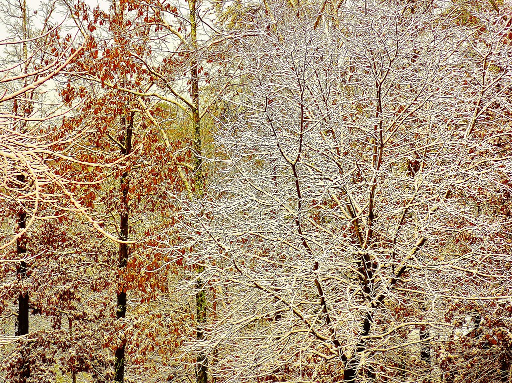
Photo: Olin Gilbert via Flickr (CC BY 2.0)
Visiting Great Smoky Mountains National Park with limited mobility works best when the mountain roads become part of the experience rather than merely a way to reach trails. Newfound Gap Road climbs from hardwood forest to a 5,046-foot Appalachian crest, while the Cades Cove Loop passes historic buildings, open meadows, and wildlife habitat from the vehicle.
This guide focuses on viewpoints, short accessible paths, and scenic corridors where steep grades can be avoided or evaluated in advance. It also explains which famous destinations remain useful with limited walking, including Kuwohi, where the parking area provides expansive views even when the steep summit path is unsuitable.
What Visiting Great Smoky Mountains with Limited Mobility Involves
A steep park with a road-based advantage
Great Smoky Mountains National Park protects more than 800 square miles along the Tennessee and North Carolina border. Elevations range from about 875 feet near Abrams Creek to 6,643 feet on Kuwohi, the park’s highest summit. That vertical range produces long slopes, frequent steps, uneven roots, and trail surfaces shaped by heavy rainfall. Many popular walks described as short are physically demanding because their elevation gain is concentrated into less than a mile.
The park’s historic road network provides an important alternative. Newfound Gap Road, Little River Road, the Cades Cove Loop, and the roads around Oconaluftee place visitors beside overlooks, rivers, forests, and preserved cultural landscapes. Several pullouts require only a few steps from the vehicle. Others have paved viewing areas, although curb transitions, cross-slopes, and crowded parking can still affect access.
How we define an accessible stop
Our team separates fully developed accessible paths from places that are simply easier to experience with limited walking. A paved surface does not guarantee an easy route. Kuwohi’s summit trail, for example, is paved for 0.5 mile but climbs roughly 330 feet, with sustained grades that are difficult for many wheelchair users and people with cardiac, respiratory, balance, or joint limitations.
- Accessible trail: A route designed around mobility access, with a firm surface and moderated grades.
- Low-walking viewpoint: A scenic stop reached directly from a parking area, though minor slopes or curbs may be present.
- Vehicle-centered experience: A drive where wildlife, historic landscapes, or mountain scenery can be observed without leaving the car.
- Ambulatory option: A short route that may suit visitors using a cane or walking poles but includes gravel, roots, grades, or uneven transitions.
Planning a Manageable Route When Visiting Great Smoky Mountains
Choose one corridor rather than crossing everything
The principal gateways are Gatlinburg on the Tennessee side and Cherokee on the North Carolina side. Newfound Gap Road, also signed as U.S. 441, connects them across the mountains. The drive from Sugarlands Visitor Center to Newfound Gap covers about 16 miles and normally takes at least 35 minutes without stops. From Newfound Gap, the seasonal spur to Kuwohi adds another 7 miles.
Cades Cove lies west of Gatlinburg and requires a separate commitment. Reaching the loop from the Sugarlands area involves roughly an hour of winding travel along Little River Road and Laurel Creek Road before traffic is considered. Combining Cades Cove, Kuwohi, and Oconaluftee in one day creates excessive vehicle time and few opportunities for rest. We recommend building a day around one major corridor.
Accessible Views and Trails in Great Smoky Mountains at a Glance
| Area | Primary experience | Mobility considerations | Typical time |
|---|---|---|---|
| Sugarlands | Forest, river, accessible nature trail | Paved 0.5-mile loop with gentle terrain | 45 to 90 minutes |
| Newfound Gap corridor | Mountain overlooks and high-elevation forest | Several views are close to parking | 2 to 4 hours |
| Kuwohi | Highest road-accessible area in the park | Views from parking, summit path is very steep | 30 to 75 minutes |
| Cades Cove | Wildlife and historic valley scenery | Best treated as an 11-mile vehicle tour | 2 to 4 hours |
Parking, weather, and seasonal road limits
Visitors who leave a vehicle parked for more than a brief stop generally need a parking tag, although the park does not charge a conventional entrance fee. Mountain roads can close because of snow, ice, fallen trees, or high winds, and the Kuwohi spur normally closes during winter. Vehicle-free periods also affect the Cades Cove Loop. Check parking rules, road status, and current access details on the official park site before departure.
Cell service is unreliable across much of the interior. Download maps before entering, carry medications in the passenger compartment, and keep water within reach rather than packed under mobility equipment. Temperatures near Newfound Gap and Kuwohi can be 10 to 20 degrees Fahrenheit cooler than in Gatlinburg or Cherokee. Fog and wind can make an otherwise manageable transfer considerably harder.
Visiting Great Smoky Mountains Along Accessible Newfound Gap Road
Begin with Sugarlands Valley Nature Trail
A purpose-built half-mile loop
Sugarlands Valley Nature Trail is one of the park’s most dependable choices for wheelchair users and visitors who need a short, predictable walk. The paved loop extends about 0.5 mile through second-growth forest near Sugarlands Visitor Center. Interpretive exhibits describe the valley’s natural and human history, including the remains of former homesites from before the national park was established in 1934.
The low elevation supports tulip poplar, eastern hemlock, red maple, and dense stands of rhododendron. Spring brings woodland wildflowers, while summer foliage creates substantial shade. Rain can leave leaves and organic debris on the pavement, so traction still deserves attention. Because the route is short, a companion can inspect conditions before unloading a wheelchair or scooter.
Use the overlooks as a sequence
Newfound Gap at 5,046 feet
Newfound Gap provides one of the park’s strongest scenic returns for minimal walking. The state line crosses the parking area, the Appalachian Trail passes directly through it, and a stone terrace overlooks layered ridges toward North Carolina. President Franklin D. Roosevelt dedicated the national park here in 1940. The parking area can be busy, but the principal view is close to the vehicle.
At the wall, cool air rises from the forested slopes and wind moves across the exposed gap even when lower valleys feel still. Dark spruce and fir appear above the hardwood canopy, and successive ridges fade from green to blue as moisture scatters light through the air. The scale becomes apparent without climbing a trail: the road lies behind you, while the terrain drops abruptly beyond the stone edge.
Kuwohi without the summit climb
Kuwohi, formerly widely known as Clingmans Dome, reaches 6,643 feet and holds deep cultural significance for the Cherokee people. The summit observation tower requires a steep paved walk, but the parking area itself faces a broad mountain panorama. On clear days, distant ridgelines are visible across Tennessee and North Carolina. Clouds frequently cover the summit, particularly during humid summer afternoons.
Visitors sensitive to exertion should plan to enjoy the parking-level views and skip the tower. The elevation brings lower temperatures, stronger ultraviolet exposure, and thinner air than the gateway communities. Red spruce and Fraser fir dominate the surrounding forest, an ecosystem more typical of northern latitudes. Dead standing firs reflect decades of damage from the invasive balsam woolly adelgid.
Cades Cove as a Vehicle-Based Signature Experience
Following the 11-mile historic loop
Cades Cove occupies a broad limestone valley enclosed by mountains. Its open fields differ sharply from the park’s heavily forested slopes because generations of residents cleared the land for farms and grazing. The one-way loop passes churches, cabins, barns, and views toward peaks rising more than 3,000 feet above the valley floor. Traffic often moves slowly when wildlife appears near the road.
White-tailed deer and wild turkeys are commonly seen in the fields, while black bears may forage near woodland edges. Early morning and the final hours of daylight usually provide the best viewing conditions. Visitors should remain inside the vehicle when animals approach the road and use pullouts before stopping for extended observation. Binoculars reduce pressure to walk across uneven grass or roadside drainage areas.
Mobility considerations on vehicle-free days
Scheduled vehicle-free periods allow cyclists and pedestrians to use the loop without motor traffic, but they also remove the easiest way for many limited-mobility visitors to experience the valley. Travelers relying on a private vehicle should plan around those dates. Our separate guide to Cades Cove vehicle-free days explains the 2026 schedule and its practical effect on access.
The Oconaluftee Valley Offers Wildlife and Cultural History
Mountain Farm Museum with minimal travel
On the North Carolina side, Oconaluftee Visitor Center sits beside an open valley at roughly 2,000 feet. The adjacent Mountain Farm Museum contains historic log buildings gathered from communities throughout the Smokies, including a farmhouse, barn, corncrib, smokehouse, and working blacksmith shop. Several structures can be viewed from the central path, although packed gravel, grass, thresholds, and drainage dips may limit entry into individual buildings.
The museum landscape explains how mountain families organized farms around food preservation, livestock, and water. Most buildings date from the late 1800s and represent construction methods used before paved roads reached these valleys. Visitors who cannot follow the entire route can still see the farmstead arrangement from near the visitor center, where benches and relatively level surroundings make pacing easier.
Elk viewing near the visitor center
Elk were reintroduced to the park in 2001, and the Oconaluftee fields are among the most reliable places to see them. Animals often emerge near dawn or late afternoon, particularly during spring green-up and the autumn rut. Watch from the roadside or designated viewing areas rather than crossing a field. Federal rules require remaining at least 50 yards from elk and black bears, even when an animal approaches first.
Scenic Roads Beyond the Busiest Park Corridors
Foothills Parkway overlooks
The western section of Foothills Parkway provides a lower-elevation alternative when clouds conceal Kuwohi or ice affects the central mountains. Roadside overlooks face the Great Smoky Mountains escarpment, where ridges rise sharply above the Tennessee Valley. The section between Walland and Wears Valley includes multiple paved pullouts, allowing companions to compare slope, curb placement, and available transfer space before unloading equipment.
Look Rock is the parkway’s best-known high point, but its observation tower requires an uphill paved approach and may be inappropriate for visitors with limited endurance. The nearby roadside overlooks provide broad views without that climb. Morning light usually defines the mountain folds most clearly, while afternoon haze can reduce detail across the valley.
Roaring Fork requires more careful selection
Roaring Fork Motor Nature Trail is a seasonal, 5.5-mile one-way road near Gatlinburg. It passes rushing water, dense forest, and historic structures such as the Noah “Bud” Ogle farmstead. Narrow pavement, limited pullouts, uneven ground around cabins, and restrictions on larger vehicles make this a less predictable choice than Newfound Gap Road. Treat it as a scenic drive rather than an accessible walking destination.
Match the Day to Weather, Energy, and Equipment
Seasonal conditions change the easiest option
Visiting Great Smoky Mountains with limited mobility requires attention to elevation as well as the forecast in Gatlinburg or Cherokee. Rainfall averages are high throughout the park, and shaded pavement can remain wet after surrounding roads dry. Autumn brings comfortable temperatures but heavier traffic. Winter opens leafless views at low elevations while making exposed gaps and high roads less dependable.
| Season | Useful advantage | Mobility concern |
|---|---|---|
| Spring | Wildflowers and strong river flow | Wet pavement, pollen, and rapid temperature changes |
| Summer | Long daylight and open high roads | Heat below 3,000 feet, fog and storms above |
| Autumn | Color progresses from high ridges to valleys | Congested parking and long vehicle queues |
| Winter | Leaf-off visibility and quieter valleys | Ice, wind, and high-elevation road closures |
Build transfers and rest into the route
Repeated vehicle transfers often consume more energy than a single short trail. Choose two primary stops and treat additional overlooks as optional. Drivers should park on the most level portion of a space when possible, leaving room for a ramp or side transfer. At exposed overlooks, assess wind and surface slope before opening a lift because gusts can move doors and destabilize lightweight equipment.
A practical vehicle checklist
- Carry a manual backup method for loading powered mobility equipment.
- Bring a seat cushion or folding chair for stops without nearby seating.
- Keep rain protection, a warm layer, water, and essential medication inside the cabin.
- Use binoculars for wildlife and distant architectural details.
- Download the park map because navigation and phone service frequently fail between gateways.
Plan a Day Visiting Great Smoky Mountains Around Accessible Scenic Views
A successful limited-mobility visit usually combines one predictable path with one road-based landscape. Sugarlands Valley Nature Trail pairs naturally with Newfound Gap, while Oconaluftee combines historic buildings, river scenery, and possible elk sightings within a compact area. Cades Cove deserves its own day because traffic and wildlife stops make travel time difficult to predict.
Set the route according to the person with the lowest walking tolerance, then preserve optional stops for any remaining energy. The Smokies reveal their defining features from roads and valley floors as well as summits: layered ridges, high-elevation spruce and fir, historic farm clearings, and wildlife feeding along forest edges. Careful corridor selection allows visitors to experience those landscapes without depending on steep trails or long approaches.
Want to keep exploring? Browse all our Great Smoky Mountains guides and articles for more trip-planning tips and ideas.
Gear & Essentials
Tell us about your trip and we will add what else you will want:
The basics
Worth having in the car whatever the park.
For this trip
Traveling with kids
Bringing a pet
RVing
Backcountry
Winter conditions
On the water
Photography
Accessibility
As an Amazon Associate we earn from qualifying purchases, at no extra cost to you.