How to Get to Shenandoah National Park: Airports, Roads and Getting Around
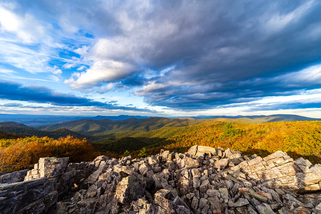
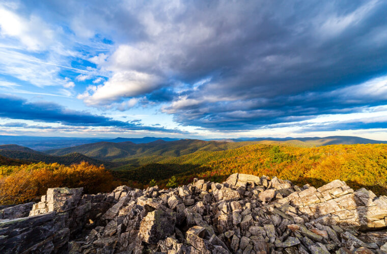
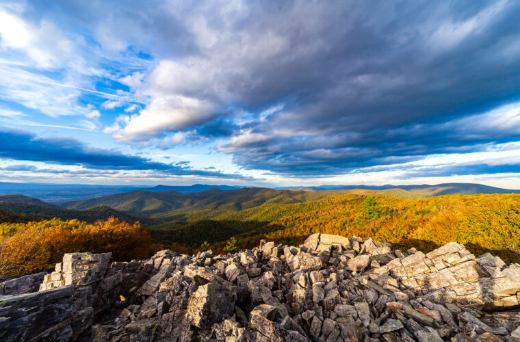
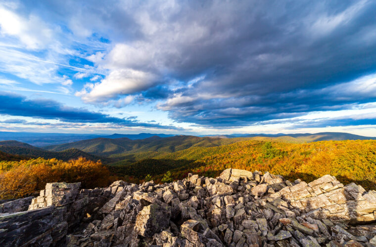
Photo: aparlette via Flickr (CC BY 2.0)
How Get Shenandoah National Park may seem like a simple question at Dickey Ridge at 7 a.m., when cool air moves through the oaks and the Shenandoah Valley appears beyond the stone wall. The pavement is often damp with mist, birdsong carries across the ridge, and the first overlook sits only a few miles beyond the Front Royal entrance. Reaching that moment requires choosing the correct airport, entrance station, and approach road before a navigation app sends you toward the wrong side of the Blue Ridge. Shenandoah is a long, narrow park extending about 70 miles along Virginia’s Blue Ridge.
Shenandoah is a long, narrow park extending about 70 miles along Virginia’s Blue Ridge Mountains. Skyline Drive follows the crest for 105 miles, connecting four entrances and numerous overlooks, campgrounds, trailheads, and Appalachian Trail crossings. Our team recommends planning around the specific place you want to visit rather than treating the park as a single destination.
How to Get to Shenandoah National Park Through the Right Entrance
The park’s four vehicle entrances divide Skyline Drive into three districts. Front Royal and Thornton Gap serve the northern and central portions, Swift Run Gap reaches the central and southern districts, and Rockfish Gap provides access from Interstate 64. There is no public road crossing the park between these entrances, so correcting a poor gateway choice can consume an hour or more.
Skyline Drive’s mileposts begin at Front Royal and increase southward to Rockfish Gap. This numbering system is the most dependable way to match an attraction with an entrance. Dickey Ridge Visitor Center is near mile 4.6, Marys Rock Tunnel is near mile 32.4, Big Meadows is near mile 51, and Loft Mountain is around mile 79.5.
How Get Shenandoah National Park Plans Should Match Your Destination
Begin with the milepost of your lodging, trailhead, or main attraction. Old Rag’s primary trail access is outside Skyline Drive and east of the park, while popular sites such as Hawksbill, Dark Hollow Falls, and Stony Man are reached from the ridge road. A route labeled “Shenandoah National Park” may point to an administrative location rather than the entrance you need.
The Four Entrance Stations Compared
Each entrance connects Skyline Drive with an east to west highway or a major interstate corridor. Approximate driving times inside the park are slow because the speed limit is generally 35 mph, wildlife frequently enters the roadway, and overlooks encourage repeated stops.
| Entrance | Skyline Drive location | Main approach | Best suited to |
|---|---|---|---|
| Front Royal | Mile 0 | US 340 near Front Royal | Dickey Ridge, northern overlooks, Washington area arrivals |
| Thornton Gap | Mile 31.5 | US 211 between Luray and Sperryville | Marys Rock, Stony Man, Skyland, central district |
| Swift Run Gap | Mile 65.5 | US 33 between Elkton and Stanardsville | South River, central Virginia, southern Big Meadows approaches |
| Rockfish Gap | Mile 105.5 | Interstate 64 and US 250 | Loft Mountain, Waynesboro, Charlottesville, Blue Ridge Parkway connections |
How to Get to Shenandoah National Park from Nearby Airports
Shenandoah has no airport shuttle or rail station at its boundary, so most air travelers need a rental car. Washington Dulles International Airport usually provides the most direct major airport approach to the northern entrance. Charlottesville Albemarle Airport is considerably closer to Rockfish Gap and the central Virginia side, although it offers fewer flights.
Airport choice should reflect the first night’s location. Flying into Washington and reserving lodging near Waynesboro creates a long arrival drive, particularly during weekday traffic. A Charlottesville arrival works well for the southern district but provides little advantage for Front Royal or trails near Thornton Gap.
How Get Shenandoah National Airport Choices Compare
| Airport | Practical gateway | Approximate road distance | Typical planning consideration |
|---|---|---|---|
| Washington Dulles International | Front Royal | About 60 miles | Strong flight selection and the simplest major airport approach |
| Ronald Reagan Washington National | Front Royal | About 75 miles | Urban traffic can add substantial time before reaching Interstate 66 |
| Baltimore Washington International | Front Royal | About 105 miles | Useful when airfare is lower, but requires crossing busy regional corridors |
| Charlottesville Albemarle | Rockfish Gap | About 35 miles | Convenient for the southern district and Charlottesville based trips |
| Richmond International | Rockfish Gap | About 110 miles | Mostly straightforward interstate driving across central Virginia |
How to Get to Shenandoah National Park from Washington Airports
From Dulles, drivers generally connect with Interstate 66 west and continue toward Front Royal. Ronald Reagan National requires crossing the inner Washington road network before joining Interstate 66, making arrival time more sensitive to congestion. Baltimore adds the Capital Beltway or other heavily traveled suburban routes. Avoid scheduling a same evening sunset stop if the flight lands during afternoon commuting hours.
Charlottesville and Southern Approaches
Charlottesville Albemarle Airport is north of Charlottesville. Drivers bound for Rockfish Gap travel toward Interstate 64 west, then climb to the crest near Waynesboro. The gateway also marks the northern end of the Blue Ridge Parkway, so signs for that road appear near the Shenandoah entrance. Confirm current entrance operations, fees, road closures, and seasonal facility details on the official park site before departure.
How to Get to Shenandoah National Park by Road from Washington, Virginia, and the South
Interstate highways reach the surrounding valleys, but the final approach usually follows two lane roads through working farms, small towns, and mountain gaps. US 211 climbs steeply to Thornton Gap, while US 33 crosses the ridge at Swift Run Gap. These roads remain important regional routes, so expect trucks, motorcycles, and slower traffic on curves.
The Blue Ridge consists largely of ancient metamorphic and volcanic rock lifted and exposed over hundreds of millions of years. Its steep eastern face explains why seemingly short map distances from the Virginia Piedmont can involve sustained climbs. Fog can form rapidly where warm valley air meets the cooler ridge, particularly in spring and autumn.
From Washington and Northern Virginia
Use Interstate 66 west for Front Royal or continue toward US 29 and US 211 for Thornton Gap, depending on traffic and destination. Front Royal is usually preferable for northern overlooks and hikes such as Compton Peak. Thornton Gap reduces backtracking for Stony Man, Hawksbill, and Big Meadows, all farther south along Skyline Drive.
From Richmond, Charlottesville, and Interstate 81
Interstate 64 serves Rockfish Gap from both Charlottesville and the Shenandoah Valley. Travelers on Interstate 81 can use Interstate 64 east for Rockfish Gap, US 33 east for Swift Run Gap, or US 211 east for Thornton Gap. Choose among them by milepost rather than whichever entrance appears first in map results.
- Identify the milepost of your first trail, overlook, campground, or lodging area.
- Select the entrance that minimizes driving on Skyline Drive.
- Download offline maps before climbing out of the valley.
- Save enough daylight for slow traffic, fog, and wildlife stops.
- Keep fuel above half a tank before entering the ridge corridor.
Getting Around Shenandoah National Park on Skyline Drive
Driving the entire ridge road takes roughly three hours without meaningful stops, but that estimate excludes overlooks, hikes, traffic, and wildlife delays. The road follows a narrow crest between elevations of roughly 600 feet near the northern gateway and more than 3,600 feet at its highest roadway sections. Hawksbill, the park’s highest summit, reaches 4,050 feet.
White tailed deer commonly feed beside the pavement around dawn and dusk, while black bears may cross without warning. Autumn leaf season produces especially heavy traffic near Stony Man, Skyland, Big Meadows, and Dark Hollow Falls. Spring brings fog, wet leaves, and blooming understory plants; our coverage of Shenandoah’s Wildflower Weekend explains the seasonal botanical interest.
Navigation Where Mobile Service Fades
Download the park map and the surrounding Virginia road network before arrival. Mobile service is inconsistent along the ridge and often disappears below east facing slopes. Record destinations by both name and milepost, because trailheads with similar names can be separated by several miles. Printed maps remain useful when a phone loses service or redirects toward an unpaved boundary road.
Allowing for Weather and Road Conditions
Elevation makes Skyline Drive cooler and windier than nearby towns. Rain in Charlottesville or Front Royal can become dense fog on the crest, while winter precipitation may create ice even when valley pavement remains clear. Build an alternate valley route into winter and early spring plans, especially when traveling between lodging on one side of the Blue Ridge and an activity on the other.
Turn Mileposts into a Realistic Daily Driving Plan
Skyline Drive’s 35 mph limit makes mileage a better planning tool than navigation app estimates. A 25 mile move between lodging and a trailhead can require 45 minutes before fog, overlook stops, or wildlife enter the equation. Add at least 20 minutes when driving around sunrise or sunset, when deer are active and visibility changes quickly. Drivers heading to popular central district trails should also allow time to circle back if the first parking area is full.
Budget Time by Park District
The three Skyline Drive segments differ enough in length to affect lodging and hiking choices. These estimates assume continuous driving at or near the speed limit. They exclude entrance queues, construction controls, restroom stops, overlooks, and the slower pace required during heavy rain or fog.
| Segment | Distance | Minimum driving time |
|---|---|---|
| Front Royal to Thornton Gap | About 31.5 miles | About 55 minutes |
| Thornton Gap to Swift Run Gap | About 34 miles | About 1 hour |
| Swift Run Gap to Rockfish Gap | About 40 miles | About 1 hour 10 minutes |
Avoid Unnecessary Out and Back Driving
Travelers covering the full park should enter at one end and leave at the other, with overnight stops progressing in the same direction. A northbound plan might begin near Waynesboro, enter at Rockfish Gap, spend the day around Loft Mountain or Blackrock Summit, and continue toward Big Meadows. Searching “How Get Shenandoah National” without naming a trail or milepost often produces inefficient routes that cross the same portion of Skyline Drive twice.
Handle Parking and Vehicle Limitations Before Arrival
Trailhead parking areas vary from broad paved lots to short roadside pullouts. Hawksbill has several approach options, while Limberlost and Dark Hollow Falls use distinct lots near the central district. Save the exact trailhead name instead of relying on a general attraction pin. Arriving early is particularly useful at Stony Man, Bearfence Mountain, Hawksbill, and Dark Hollow Falls, where parking demand can exceed the marked spaces on autumn weekends.
Keep Old Rag Separate from Skyline Drive
Old Rag’s primary access is reached from Nethers Road near Etlan, east of the Blue Ridge. Drivers cannot reach that parking area from Skyline Drive by using an internal park road. From the Thornton Gap area, the road approach requires descending toward Sperryville and continuing through the surrounding county road network. Treat an Old Rag hike as a separate day rather than combining it with overlooks around Big Meadows.
Save the Correct Old Rag Parking Pin
Navigation results may display the summit, the mountain boundary, or Berry Hollow instead of the principal trail access. Save the designated Old Rag parking area before losing service, then compare the route with a downloaded park map. Parking along narrow local roads can obstruct residents, emergency vehicles, and farm traffic. Carry everything needed for the hike from the lot because returning to a valley town adds significant driving.
Check Clearance and Fuel Range
Marys Rock Tunnel, just south of Thornton Gap, has a maximum clearance of 12 feet 8 inches. Drivers of tall recreational vehicles must account for that restriction before planning a continuous trip through the central district. Fuel is unavailable along Skyline Drive, so fill up in Front Royal, Luray, Elkton, Waynesboro, or another valley community. Electric vehicle drivers should identify dependable charging options outside the park and retain enough range for elevation gain and detours.
Prepare for Limited Transportation and Unexpected Detours
Shenandoah does not have a parkwide public bus linking entrances, trailheads, and lodging areas. Rental cars remain the practical choice for airport arrivals. A standard passenger vehicle handles paved park roads under ordinary conditions, so four wheel drive is generally unnecessary. Choose a rental agreement with adequate mileage, photograph existing vehicle damage, and keep the roadside assistance number available offline.
Arrange Trail Shuttles in Advance
Appalachian Trail hikers sometimes use private shuttle operators for one way trips between gaps, but these rides require advance coordination and should not be confused with scheduled public transit. Rideshare coverage becomes unreliable near trail crossings and on the ridge. Cyclists may use Skyline Drive, although long climbs, limited shoulders, tunnels, fog, and vehicle traffic demand lights, reflective clothing, water, and conservative daily mileage.
Carry a Road Contingency Kit
A closure between entrances can force a lengthy return to the nearest gap followed by a valley detour. Keep enough food, water, medication, and battery power to absorb several additional hours. Before leaving the airport or gateway town, complete this checklist:
- Download park and Virginia highway maps for offline use.
- Record the entrance, milepost, and trailhead for each planned stop.
- Fill the fuel tank or verify charging locations.
- Pack a windshield cloth, flashlight, warm layer, and rain shell.
- Place lodging addresses and check-in instructions in an offline note.
Plan the Route Around the Place You Came to See
The most efficient Shenandoah trip begins with a milepost, then works outward to the correct entrance, airport, and overnight base. Dulles commonly suits northern district plans, Charlottesville simplifies southern approaches, and the east to west highways provide access to the central gaps. Inside the park, short map distances still require patient driving because of elevation, curves, fog, wildlife, and frequent stops.
Build each day around one district, carry offline directions, and avoid using a generic park pin as your destination. With fuel secured and realistic segment times in hand, you can spend less of the trip correcting routes and more of it walking the ridge, reaching overlooks, and moving safely between Shenandoah’s four gateways.
Want to keep exploring? Browse all our Shenandoah guides and articles for more trip-planning tips and ideas.
Gear & Essentials
Tell us about your trip and we will add what else you will want:
The basics
Worth having in the car whatever the park.
For this trip
Traveling with kids
Bringing a pet
RVing
Backcountry
Winter conditions
On the water
Photography
Accessibility
As an Amazon Associate we earn from qualifying purchases, at no extra cost to you.