Mount Rainier National Park and Olympic National Park: How to Visit Both on One Trip
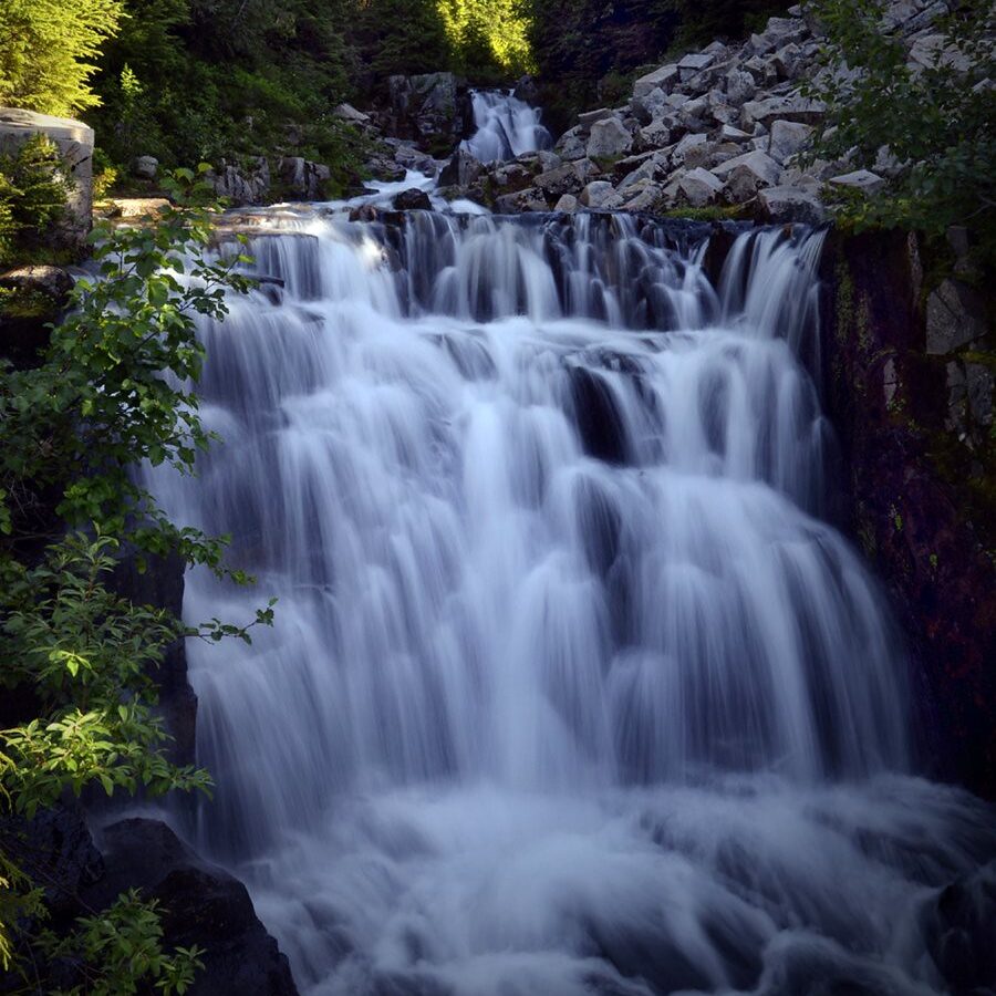
Photo: SheldonPhotography via Flickr (CC BY 2.0)
Mount Rainier National Park and Olympic National Park look close on a Washington map, yet traveling between their signature areas can consume most of a day. Mount Rainier’s roads climb toward separate sides of a 14,410 foot volcano, while Olympic’s roads circle a mountain core with no public route across it. A successful combined trip therefore depends less on mileage than on choosing compatible districts.
Our team recommends treating the parks as two distinct chapters connected by one deliberate transfer day. With five days, visitors can sample Paradise, Hurricane Ridge, Lake Crescent, and one temperate rain forest. Seven or eight days allow meaningful hikes, a Pacific beach, and enough flexibility for clouds, tides, or mountain weather.
Understand the Geography Between Mount Rainier National Park and Olympic National Park
Mount Rainier National Park Revolves Around One Giant Volcano
Mount Rainier is an active stratovolcano covered by 25 named glaciers. Its principal visitor areas sit on different flanks. Paradise occupies the wetter south side at about 5,400 feet, Sunrise reaches roughly 6,400 feet on the drier northeast side, and Carbon River provides low-elevation access to an exceptionally wet inland forest. Roads between these districts are indirect, and the seasonal Stevens Canyon Road is important when linking Paradise with the park’s eastern side.
Most first-time visitors should choose either Paradise or Sunrise rather than attempting both in one hurried day. Paradise provides close views of the Nisqually Glacier and access to subalpine meadows. Sunrise faces Emmons Glacier and the White River valley. Driving from one district to the other can take several hours even when all connecting roads are open.
Olympic National Park Has No Road Through Its Center
Olympic National Park surrounds the Olympic Mountains, whose highest point is 7,980 foot Mount Olympus. Roads enter from the perimeter and end at places such as Hurricane Ridge, Sol Duc, the Hoh Rain Forest, and Lake Quinault. The protected interior remains a roadless complex of glaciated peaks and river valleys, so apparently adjacent attractions may require a long drive around the peninsula.
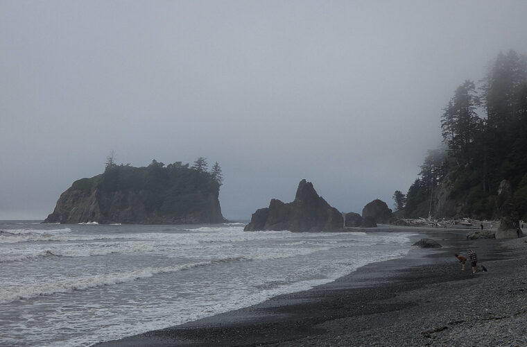
The park also spans three major environments: alpine terrain, temperate rain forest, and Pacific coastline. Hurricane Ridge can be cool and exposed while the Hoh valley is mild, damp, and sheltered beneath enormous Sitka spruce and western hemlock. Rialto Beach may be windy and covered in marine fog on the same afternoon.
Decide How Many Days You Need to Visit Mount Rainier National Park and Olympic National Park
The Workable Minimum and the Better Itinerary
Four days permits only a compressed overview, with one full day in each park and substantial driving between them. Six days creates a better balance: two days around Mount Rainier, one transfer day, and three days on the Olympic Peninsula. Eight days supports separate Olympic bases near Port Angeles and the western rain forests, reducing repeated drives across the peninsula.
| Trip length | Mount Rainier plan | Olympic plan | Practical result |
|---|---|---|---|
| 4 days | One district | Hurricane Ridge plus one western site | Fast overview with little weather flexibility |
| 6 days | Two nights near Paradise or Sunrise | Three nights split between north and west | Best minimum for hiking and varied landscapes |
| 8 days | Two or three full days | Four full days across two bases | Room for beaches, rain forest, and contingencies |
Plan a Mount Rainier National Park and Olympic National Park Route That Avoids Backtracking
South Side to Western Olympic
A logical progression begins at Paradise, exits near Ashford, passes through the Olympia area, and approaches Olympic National Park through Lake Quinault. Paradise to Lake Quinault is roughly 150 miles, but mountain roads, town traffic, and stops commonly turn the transfer into a four-hour undertaking. This route works especially well for travelers who want the Hoh Rain Forest and Pacific beaches before continuing north toward Lake Crescent and Port Angeles.
Northern Gateway to Mount Rainier National Park
Travelers arriving through Port Angeles can reverse the sequence, visiting Hurricane Ridge and Lake Crescent before moving south around Puget Sound toward Mount Rainier. A ferry may fit an itinerary beginning or ending in central Seattle, but ferry queues and loading time complicate a same-day park transfer. Driving around Puget Sound provides more predictable timing, although congestion near Tacoma can be significant.
Choose Mount Rainier National Park and Olympic National Park Districts That Fit Together
Focus a First Rainier Visit on Paradise or Sunrise
Paradise for Meadows, Glaciers, and a Demanding Loop
The 5.5 mile Skyline Trail gains about 1,700 feet while climbing toward Panorama Point. On clear days, Mount Adams, Mount St. Helens, and Mount Hood appear beyond Rainier’s ridges. The shorter Nisqually Vista Trail, roughly 1.2 miles in a loop, provides a lower-effort view into the glacier-carved valley and works well on an arrival afternoon.
Above Paradise, the paved path steepens quickly and gives way to rougher tread. Pebbles shift underfoot, meltwater runs across the trail, and the air cools as the route leaves the visitor area. At Panorama Point, the southern horizon opens abruptly while Rainier’s snowfields fill the view overhead. The climb feels substantially harder than its mileage suggests because of the elevation and sustained grade.
Sunrise for Open Ridges and the Emmons Glacier
Sunrise offers immediate high-country scenery and generally broader, drier slopes. The 3.5 mile Naches Peak Loop crosses flower meadows and sections of the Pacific Crest Trail near Chinook Pass, while the longer Burroughs Mountain routes enter stark alpine tundra beneath Rainier. Snow commonly lingers into early summer, and the access road usually has a shorter operating season than the road to Paradise.
Pair Rainier With Two Olympic Landscapes
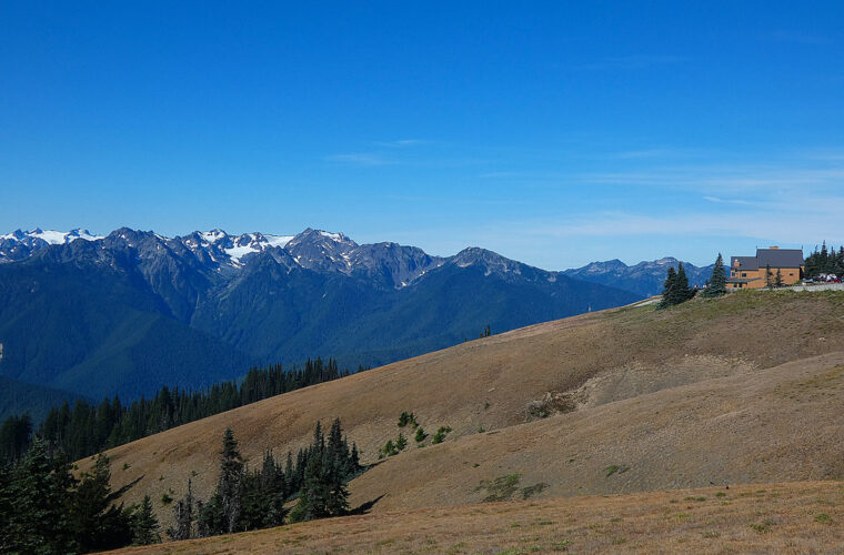
For a balanced first trip, combine northern Olympic with one western district. Hurricane Ridge provides alpine views above Port Angeles, and nearby Lake Crescent adds old-growth forest, lakeshore walking, and the approximately 1.8 mile round-trip trail to Marymere Falls. Farther west, the Hoh’s 0.8 mile Hall of Mosses loop reveals a rain forest shaped by heavy precipitation and moisture carried inland from the Pacific.
- Choose Hurricane Ridge and Lake Crescent when time is limited to one Olympic day.
- Add the Hoh Rain Forest when the itinerary includes a western peninsula overnight.
- Add Rialto Beach or Second Beach only after checking tide timing and allowing for slower coastal travel.
- Use Lake Quinault instead of the Hoh when approaching Olympic from the south and minimizing backtracking matters most.
Treat the Transfer as Part of the Itinerary
Do Not Schedule Two Major Hikes on Transfer Day
A drive between Paradise and the Hoh Rain Forest can exceed 200 miles, depending on seasonal road access and the chosen route. Fuel, meals, construction, and urban traffic increase the elapsed time. A practical transfer day pairs one short morning walk with an evening lakeshore or rain forest stroll rather than combining Skyline Trail with a cross-peninsula drive.
Seattle works well as an arrival or departure gateway, but it is inefficient as a nightly base for both parks. Repeated trips from the city sacrifice early trail hours and expose every day to metropolitan traffic. Stay near the Rainier district being visited, then relocate to the Olympic Peninsula for consecutive nights.
Build Flexibility Around Roads, Entry Systems, and Weather
Mountain access changes with snow, storms, wildfire conditions, road work, and occasional reservation systems. Before fixing the route, confirm current entrance requirements, road status, ferry procedures, campground availability, and seasonal facility operations on the official park sites. This single check determines whether Stevens Canyon Road can connect Rainier districts and whether high-elevation Olympic roads are operating normally.
- Reserve lodging near the selected Rainier district rather than choosing by straight-line distance.
- Place the longest Olympic drive between overnight bases, not at the start of a major hike.
- Keep one alpine day movable in case clouds obscure Rainier or Hurricane Ridge.
- Carry food and a full fuel tank before entering the western Olympic Peninsula, where services are widely spaced.
- Download offline maps because cellular coverage is unreliable in both parks.
Plan Each Day Around the Controlling Condition
Start Alpine Days Early
Parking capacity, afternoon cloud development, and summer heat all favor an early start at Paradise, Sunrise, and Hurricane Ridge. Schedule the longest hike first, then use lower-elevation stops after lunch. At Mount Rainier National Park, a cloud deck can hide the upper volcano while trails remain dry and usable. In Olympic, poor visibility at Hurricane Ridge is a reason to pivot toward Lake Crescent, where forest walks and lakeshore views depend less on clear skies.
Let the Tide Set the Coastal Schedule
Olympic’s wilderness beaches require a different planning method. Consult a tide prediction for the specific beach and date, then identify any headlands or rock passages along the route. Rialto Beach’s Hole-in-the-Wall lies about 1.5 miles north of the parking area and is safest to explore around lower water. Waves can reach driftwood well before the predicted high tide, particularly during storms, so leave a generous return window and never turn your back on the ocean.
Second Beach involves a forest approach of roughly 0.7 mile before descending to sand near offshore sea stacks. Wet roots, stairs, and accumulated driftwood slow the return, especially after sunset. Carry a headlamp even for an afternoon visit. Coastal fog can also arrive quickly, making distant landmarks difficult to distinguish when retracing the beach.
Pack for Two Different Climate Systems
Build a Layering System Instead of Packing by Forecast
Rainier’s subalpine terrain exposes hikers to wind, ultraviolet radiation, and rapid temperature changes. Olympic’s western valleys add persistent moisture that can soak cotton clothing and leave footwear wet for days. Use a moisture-wicking base layer, an insulating midlayer, and a waterproof shell with a hood. Spare socks are especially useful when the itinerary moves directly from a rain forest trail to another hiking day.
| Condition | Likely location | Useful preparation |
|---|---|---|
| Lingering snow | Skyline Trail, Burroughs Mountain, Hurricane Ridge | Traction appropriate to conditions, poles, sunglasses |
| Heavy rain and mud | Hoh, Quinault, Sol Duc | Waterproof shell, quick-drying layers, dry bag |
| Wind and cold spray | Rialto Beach, Second Beach | Warm layer, hooded shell, protected electronics |
| Strong sun | Paradise and Sunrise | Sunscreen, brimmed hat, extra drinking water |
Keep a Transfer-Day Kit Accessible
Place rain gear, food, maps, medications, and one complete change of clothing where they can be reached without unloading the vehicle. Store wet boots separately from overnight bags, and bring a towel or shallow plastic tray for muddy footwear. Food, scented toiletries, and rubbish should remain secured whenever the vehicle is unattended. Black bears occur in both parks, while Roosevelt elk are especially prominent in Olympic’s rain forest valleys and require ample viewing distance.
Avoid the Mistakes That Disrupt Combined Trips
Do Not Measure the Trip by Mileage Alone
Roads near both parks are narrow, curved, and frequently slower than their posted limits suggest. Recreational vehicles, wildlife, construction, and roadside viewpoints can substantially extend a drive. Avoid changing lodging every night. Two-night blocks allow an early trail start without packing the car first, and they create room to exchange a cloudy mountain morning for a forest or lake outing.
Prepare a Specific Backup for Every Alpine Day
A useful contingency plan pairs nearby places rather than sending travelers across an entire park. From Paradise, consider Longmire’s Trail of the Shadows or the old-growth forest near Kautz Creek. From Hurricane Ridge, descend toward Lake Crescent or the Elwha valley. Western Olympic alternatives include the Hoh’s short loops, the Sol Duc valley, and Lake Quinault’s forest trails, although strong wind or flooding can affect low-elevation routes too.
- Assign one primary hike and one nearby low-elevation alternative each day.
- Move beach visits when tides or surf make the original time unsafe.
- Keep a half-day uncommitted near the end of a longer itinerary.
- Turn around at a predetermined time, even if slow traffic delayed the trailhead arrival.
- Carry enough food and water to handle an unexpected road delay without searching for services.
The most expensive mistake is reserving accommodation on the wrong side of a park. A room near one Rainier entrance may still be hours from the chosen trailhead, and lodging near Port Angeles does little to shorten an early Hoh departure. Match each overnight location to the following morning’s activity, then use the relocation day for short stops that do not depend on a fixed arrival time.
Make Your Mount Rainier National Park and Olympic National Park Route Work
A successful combined itinerary limits Mount Rainier to one carefully chosen district, divides Olympic between compatible northern and western areas, and protects the transfer day from ambitious hiking plans. Six days provides a practical foundation, while additional time improves the odds of clear alpine views and safe coastal timing. The route becomes far easier when overnight bases follow the geography instead of a single central hotel.
Choose the major hikes first, place tide-dependent beaches second, and build nearby alternatives for weather disruptions. Pack for snow, rain, wind, and sun even during one summer trip. With those decisions made before arrival, both parks can fit into one journey without reducing the experience to long drives, rushed viewpoints, and repeated backtracking.
Want to keep exploring? Browse all our Mount Rainier guides and articles for more trip-planning tips and ideas.
Gear & Essentials
Tell us about your trip and we will add what else you will want:
The basics
Worth having in the car whatever the park.
For this trip
Traveling with kids
Bringing a pet
RVing
Backcountry
Winter conditions
On the water
Photography
Accessibility
As an Amazon Associate we earn from qualifying purchases, at no extra cost to you.