Great Smoky Mountains National Park and Shenandoah National Park: How to Visit Both on One Trip
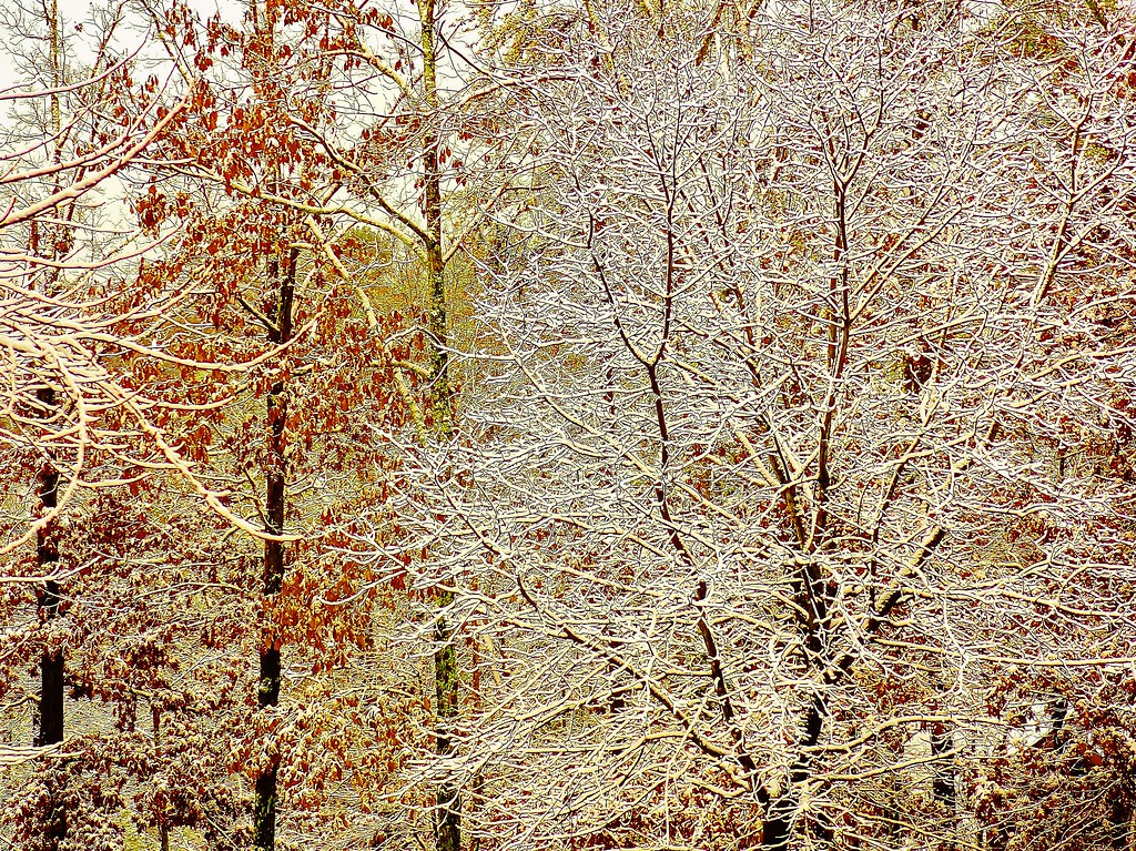
Photo: Olin Gilbert via Flickr (CC BY 2.0)
A Great Smoky Mountains National Park and Shenandoah National Park road trip connects the southern Appalachians’ largest protected wilderness with Virginia’s 105 mile Skyline Drive. The efficient route follows Interstate 40 and Interstate 81, taking about six hours between the Gatlinburg side of the Smokies and Shenandoah’s southern entrance at Rockfish Gap before meal, fuel, or traffic stops.
Our team recommends allowing at least six days, with three nights near the Smokies, one travel day, and two nights near Shenandoah. Seven or eight days create room for longer hikes and weather delays. This guide explains how to order the parks, choose the connecting route, divide your time, and avoid spending most of the trip behind the wheel.
How Great Smoky Mountains National Park and Shenandoah National Park differ
Both parks protect sections of the Blue Ridge, but they deliver distinct experiences. Great Smoky Mountains National Park covers more than 522,000 acres along the Tennessee and North Carolina border. Shenandoah occupies a narrower ridge system in Virginia, where overlooks, trailheads, and developed areas are organized around Skyline Drive.
Great Smoky Mountains National Park rewards deeper exploration
Elevations in the Smokies extend from about 875 feet near Abrams Creek to 6,643 feet at Kuwohi, formerly known as Clingmans Dome. That range supports hardwood coves, spruce and fir forest, waterfalls, and extraordinary salamander diversity. Newfound Gap Road crosses the park for 33 miles between Gatlinburg and Cherokee, but side roads lead to major areas such as Cades Cove, Greenbrier, Deep Creek, and Cataloochee.
Shenandoah places the ridgeline within easy reach
Skyline Drive runs along the crest of the Blue Ridge from Rockfish Gap to Front Royal. Hawksbill Mountain, the park’s highest point, reaches 4,050 feet. Many trailheads sit directly beside the drive, making short hikes easier to combine than in the Smokies. Stony Man, Dark Hollow Falls, Hawksbill Summit, and Bearfence Mountain can each fit into a day structured around overlooks and scenic driving.
The landscape changes northward
The Smokies contain rounded summits built largely from ancient metamorphosed sandstone, siltstone, and shale. Shenandoah adds exposed greenstone, formed from basaltic lava flows roughly one billion years ago. Forest composition also shifts. Northern hardwood species become more prominent in Virginia, while the Smokies contain exceptionally rich cove forests with tulip poplar, basswood, buckeye, and silverbell.
Choosing the best route from Great Smoky Mountains National Park to Shenandoah
For a northbound trip, finish on the Tennessee side of the Smokies and enter Shenandoah at Rockfish Gap. This produces a logical progression up Skyline Drive toward Front Royal and avoids retracing the entire park road. Travelers continuing to Washington, Baltimore, or points farther north also finish in a useful position.
Use the interstate for the efficient transfer
From Gatlinburg, travel through Sevierville to Interstate 40, continue east to Interstate 81, then take Interstate 64 toward Rockfish Gap. Allow roughly six hours of moving time, plus stops. Knoxville, the Tri Cities area, and the Shenandoah Valley provide convenient places for groceries, fuel, and meals without requiring a detour into a park gateway community.
Plan one worthwhile break
The Interstate 81 corridor follows the Great Valley of the Appalachians between the Blue Ridge and the Ridge and Valley province. A lunch stop near Bristol, Abingdon, or farther north around the valley breaks the transfer into manageable sections. Starting with a full fuel tank is sensible because congestion around Sevierville can make an early stop unexpectedly slow.
Treat the Blue Ridge Parkway as a separate journey
The Blue Ridge Parkway links the Oconaluftee area near Cherokee with Rockfish Gap, but its full length is 469 miles. Curves, overlooks, a maximum speed generally no higher than 45 mph, and weather related closures make it unsuitable for a one day park transfer. Our team would reserve two or three additional days for that route rather than combining it with a standard six or seven day itinerary.
| Connecting option | Approximate scale | Best use |
|---|---|---|
| Interstate 40 and Interstate 81 | About six hours of driving from Gatlinburg to Rockfish Gap | Trips lasting six to eight days |
| Full Blue Ridge Parkway | 469 scenic miles from Cherokee to Rockfish Gap | Trips with at least two extra travel days |
| Partial parkway segment | Distance varies by entry and exit point | Travelers willing to trade hiking time for overlooks |
When to visit Great Smoky Mountains National Park and Shenandoah on one trip
Spring and autumn offer the best balance of hiking temperatures and scenery, but elevation creates major differences within each park. A warm afternoon in Gatlinburg can coincide with cold wind and dense cloud at Kuwohi. Shenandoah’s exposed ridges are similarly cooler than the surrounding Virginia lowlands.
Match the itinerary to seasonal conditions
| Period | Typical advantages | Planning concern |
|---|---|---|
| April to May | Waterfalls carry more water, woodland wildflowers emerge, and lower trails are mild | High ridges can remain cold, wet, and foggy |
| June to August | Long daylight and full access to high elevation hiking | Humidity, afternoon thunderstorms, crowds, and limited overlook visibility |
| September to early November | Cooler hiking weather and changing foliage across several elevations | Heavy traffic during peak color weekends |
| Late November to March | Open forest views and quieter trails | Ice, snow, wind, and temporary road closures |
Do not expect peak foliage everywhere at once
Color usually begins first in high elevation forests, then descends toward coves and valleys. Shenandoah’s ridges often change before its lower eastern slopes, while the Smokies can display autumn color over a longer period because their elevation range is greater. A mid October trip may find advanced color along Skyline Drive but greener conditions around Cades Cove or the lower Little River corridor.
Check operating details once, before departure
The Smokies and Shenandoah use different systems for entrance charges, parking, camping, and backcountry stays. Seasonal road work, storm damage, or wildlife activity can also affect a planned trail. Review both parks’ alerts, parking rules, fees, and reservation requirements shortly before travel, and confirm current details on the official park sites. Recent bear activity has caused temporary closures in the Smokies, as described in our bear safety and trail closure update.
Plan hikes in Great Smoky Mountains National Park and Shenandoah
The Smokies require more deliberate geographic planning because trailheads are dispersed and mountain roads are slow. Shenandoah supports a flexible approach in which several short hikes can be linked along Skyline Drive. Trying to use the same daily rhythm in both parks leads to unnecessary driving or an overly crowded schedule.
Choose one Smokies district per day
Group nearby objectives rather than crossing the park repeatedly. A practical first visit combines one high elevation day around Newfound Gap and Kuwohi, one waterfall or forest hike along Little River Road, and one cultural landscape day in Cades Cove. Strong hikers can substitute Alum Cave Bluff, a 4.4 mile round trip, or Andrews Bald, approximately 3.6 miles round trip.
- Base one day around Newfound Gap Road and its high elevation trails.
- Reserve a separate morning or afternoon for Cades Cove because its loop road can move slowly.
- Keep a lower elevation forest walk available when clouds cover the ridges.
Link short Shenandoah hikes by milepost
In Shenandoah, organize each day by Skyline Drive’s mileposts and avoid bouncing between distant districts. Central District has the densest concentration of recognizable hikes, including the 1.4 mile round trip to Dark Hollow Falls and routes to Stony Man and Hawksbill. South District is quieter and pairs naturally with a Rockfish Gap arrival.
On Hawksbill, the trail climbs through oak forest before emerging onto rough greenstone near the summit. The temperature drops as wind crosses the exposed rock, and the sound of traffic disappears below the ridge. From the viewpoint, parallel Appalachian folds recede westward while the Piedmont spreads east, making Shenandoah’s long, narrow geography immediately understandable.
How long to visit Great Smoky Mountains National Park and Shenandoah
A five day itinerary is possible but compressed: two days in the Smokies, one transfer day, and two days in Shenandoah. Six or seven days allow weather flexibility and at least one substantial hike in each park. Travelers adding the full Blue Ridge Parkway should plan nine days or longer, especially if they want time for overlooks, historic sites, and unhurried meals rather than continuous driving.
A seven-day Great Smoky Mountains National Park and Shenandoah itinerary
A seven day schedule gives each park three useful sightseeing days while preserving a dedicated transfer day. Book lodging in two geographic clusters rather than changing hotels nightly. This reduces packing time and lets you leave before the busiest traffic reaches Cades Cove, Newfound Gap Road, or Skyline Drive. Keep the longest hike on a flexible day so cloud, thunderstorms, or fatigue do not compromise the rest of the trip.
Days one through three in the Smokies
Use the first day for Sugarlands, Newfound Gap, and Kuwohi, then select a substantial hike for day two. Charlies Bunion is about eight miles round trip from Newfound Gap, while Porters Creek reaches Fern Branch Falls after roughly two miles. Place Cades Cove on day three, paired with Abrams Falls if conditions suit your group. The waterfall hike is approximately five miles round trip and includes rocky, root covered terrain.
Days four through seven toward Front Royal
Transfer north on day four and sleep near Rockfish Gap or Waynesboro. On day five, explore Shenandoah’s South District before relocating toward the Central District. Use day six for Hawksbill, Stony Man, or the approximately four mile Rose River Loop. Continue north on day seven, stopping at selected overlooks before leaving through Front Royal. This sequence prevents a lengthy return drive along Skyline Drive.
- Reserve the clearest forecast day for a summit or exposed ridge.
- Start waterfall hikes early, when parking areas and narrow trails are quieter.
- Place groceries and fuel stops outside the parks before each full sightseeing day.
- Download maps before entering valleys where mobile reception becomes unreliable.
Choose bases that reduce mountain driving
Gateway locations can look close on a regional map while requiring an hour or more on winding roads. Select accommodations according to the first objective of the following morning. Saving 25 miles of mountain driving can preserve enough daylight for a waterfall hike, wildlife viewing, or several overlooks. It also limits night driving, when deer, bears, and fallen branches become harder to detect.
Match Smokies lodging to the planned district
Gatlinburg provides direct access to Sugarlands and Newfound Gap Road. Townsend works better for Cades Cove and the western Little River corridor, while Cherokee places Oconaluftee, Mingus Mill, and the southern approach to Kuwohi within easier reach. Travelers prioritizing Deep Creek should consider the Bryson City side. Crossing the Great Smoky Mountains National Park each morning wastes time because Newfound Gap Road is scenic, curving, and vulnerable to fog.
Move north with the Shenandoah itinerary
Waynesboro serves Rockfish Gap and the southern end of Skyline Drive. The Luray area is practical for Hawksbill, Stony Man, and the Central District, while Front Royal supports a final northern night. Staying outside one entrance for the entire Shenandoah visit can create substantial backtracking. Skyline Drive’s 35 mph speed limit means 30 park miles require considerably more time than the same distance on an interstate.
Pack for two parks and rapid weather changes
Both parks receive frequent precipitation, and shaded Appalachian trails can remain wet long after rain ends. Carry footwear with reliable tread, a waterproof shell, insulating layers, and enough water for the planned route. Cotton clothing becomes uncomfortable during a cold ridge shower. A small headlamp belongs in every day pack because slow traffic, navigation errors, or a longer than expected descent can push an afternoon hike toward darkness.
Build one adaptable day pack
| Item | Why it matters |
|---|---|
| Offline map and paper backup | Hollows and ridge gaps frequently interrupt cellular service |
| Rain shell and warm layer | Summits can be colder, wetter, and windier than gateway towns |
| Two light sources | A backup protects against battery failure after sunset |
| Food storage bag or container | Odors and unattended food attract bears and smaller animals |
| Trekking poles | Wet roots, rock steps, and steep waterfall approaches become slippery |
Prepare for wildlife without disrupting it
Black bears occur throughout both parks, while elk are concentrated around places such as Oconaluftee and Cataloochee in the Smokies. Keep food, wrappers, scented products, and coolers secured whenever they are unattended. Never block traffic or leave a trail to approach an animal. If a bear changes direction, stops feeding, or watches you continuously, your presence is already affecting its behavior. Increase distance and follow each park’s posted wildlife rules.
Keep the trip intact when conditions change
Fog can erase summit views, thunderstorms can make exposed rock unsafe, and heavy rain can raise stream levels. Build alternatives around lower elevations rather than waiting in a parking area for uncertain clearing. In the Smokies, consider the Oconaluftee River Trail or historic buildings near the Mountain Farm Museum. In Shenandoah, shorter forest walks and sheltered sections of the Appalachian Trail can replace an exposed summit.
Use a simple decision process each morning
Check road status, hourly weather, and trail alerts before leaving reliable service. If thunder is forecast, hike exposed terrain early and be below the ridge before storms develop. If visibility is poor, postpone overlooks and choose a waterfall or cultural site. When a trail closes, respect the closure rather than improvising around it. Our report on Bullhead Trail rehabilitation illustrates why construction can affect route selection.
Avoid the mistakes that compound delays
Do not schedule a major hike immediately after the interpark transfer, depend on one restaurant near closing time, or arrive at a popular trailhead with no alternative. Carry lunch, identify a second trail in the same district, and set a turnaround time before starting. These small choices prevent traffic, weather, or a full parking area from consuming an entire day.
Complete both parks without rushing either one
The strongest combined itinerary gives the Smokies geographically focused days, uses the interstate transfer efficiently, and explores Shenandoah progressively from Rockfish Gap toward Front Royal. Seven days provide enough room for high ridges, waterfalls, historic landscapes, and a weather adjustment without turning every morning into an early checkout.
Choose lodging around the next day’s trailhead, carry one well prepared day pack, and preserve at least one flexible hiking day. With those decisions made before departure, the journey connects two distinct Appalachian landscapes while keeping driving, backtracking, and avoidable delays under control.
Want to keep exploring? Browse all our Great Smoky Mountains guides and articles for more trip-planning tips and ideas.
Gear & Essentials
Tell us about your trip and we will add what else you will want:
The basics
Worth having in the car whatever the park.
For this trip
Traveling with kids
Bringing a pet
RVing
Backcountry
Winter conditions
On the water
Photography
Accessibility
As an Amazon Associate we earn from qualifying purchases, at no extra cost to you.