National Park
Great Smoky Mountains National Park
- South
- 9 hikes
- 32 places to see
- 4 current alerts
Current alerts
-
Closure
Heintooga Ridge Road, Parson Branch Road, and Rich Mountain Road are closed for the season.
-
Closure
Park Headquarters Road is closed
Park Headquarters Road is closed due to rehabilitation work on the Sugarlands water and wastewater systems.
-
Closure
Straight Fork and the one-way section of Balsam Mountain Road closed.
Straight Fork and the one-way section of Balsam Mountain Road (Heintooga Round-Bottom Road) are closed.
-
Notice
Most visitors need a parking tag
All vehicles parking for longer than 15 minutes require a parking tag. Three tag durations are available for purchase for all vehicle sizes and types: Daily ($5), Weekly ($15), or Annual ($40).
From the National Park Service, as of November 22, 2026, 5:14 am. Check nps.gov before you go.
About Great Smoky Mountains
Ridge upon ridge of forest straddles the border between North Carolina and Tennessee in Great Smoky Mountains National Park. World renowned for its diversity of plant and animal life, the beauty of its ancient mountains, and the quality of its remnants of Southern Appalachian mountain culture, this is America's most visited national park. Plan your visit today!
From the National Park Service.
- Region
- South
- States
- North Carolina and Tennessee
- Designation
- National Park
- Entrance fee
- None listed
- Hikes on this page
- 9
- Places to see
- 32
- Articles
- 11
Know before you go
Fees, hours, weather and getting to Great Smoky Mountains.
Entrance fees
The National Park Service lists no entrance fee for this park.
Hours
Open 24 hours a day, every day.
Primary roads are open 24 hours a day, seven days a week, year-round, weather permitting. This includes Newfound Gap Road (US-441), Little River Road, and Laurel Creek Road. Secondary roads are closed seasonally.
Weather and when to go
Elevations in the park range from approximately 875 feet (267 meters) to 6,643 feet (2,025 meters) and the topography can drastically affect local weather. Temperatures can vary by 10-20 degrees Fahrenheit from mountain base to top, and clear skies lower down do not guarantee equally pleasant weather at higher elevations.
Getting there
Great Smoky Mountains National Park straddles the borders of the states of Tennessee and North Carolina. The three main entrances to the park are in Gatlinburg, TN; Townsend, TN; and Cherokee, NC.
- Gateway towns
- Gatlinburg, TN · Pigeon Forge, TN · Cherokee, NC
- Nearest airports
- McGhee Tyson Airport (TYS) · Asheville Regional Airport (AVL)
Contact the park
- Address
- 107 Park Headquarters Road, Gatlinburg, TN 37738
- Phone
- (865) 436-1200
- Official site
- nps.gov/grsm
From the National Park Service, checked weekly. Fees, hours and road conditions change: confirm with the park before you go.
Trip planner
A day-by-day plan for Great Smoky Mountains
Tell us your dates and what you are into. We group the stops by where they are, so each day is one part of the park, not a zigzag.
The trails and places you save below go into your plan as must-sees.
Plan your park trip Free. No account needed.
Where to stay for Great Smoky Mountains
The gateway towns, closest first. Add your dates in the planner to search for your own nights.
-
Gatlinburg, TN Closest
-
Pigeon Forge, TN
-
Cherokee, NC
-
Guided tours and trips
National Park Getaways participates in affiliate programs. We may earn a commission when you buy through our links, at no extra cost to you.
Things to do in Great Smoky Mountains
The park service's own list, with how long each takes.
-
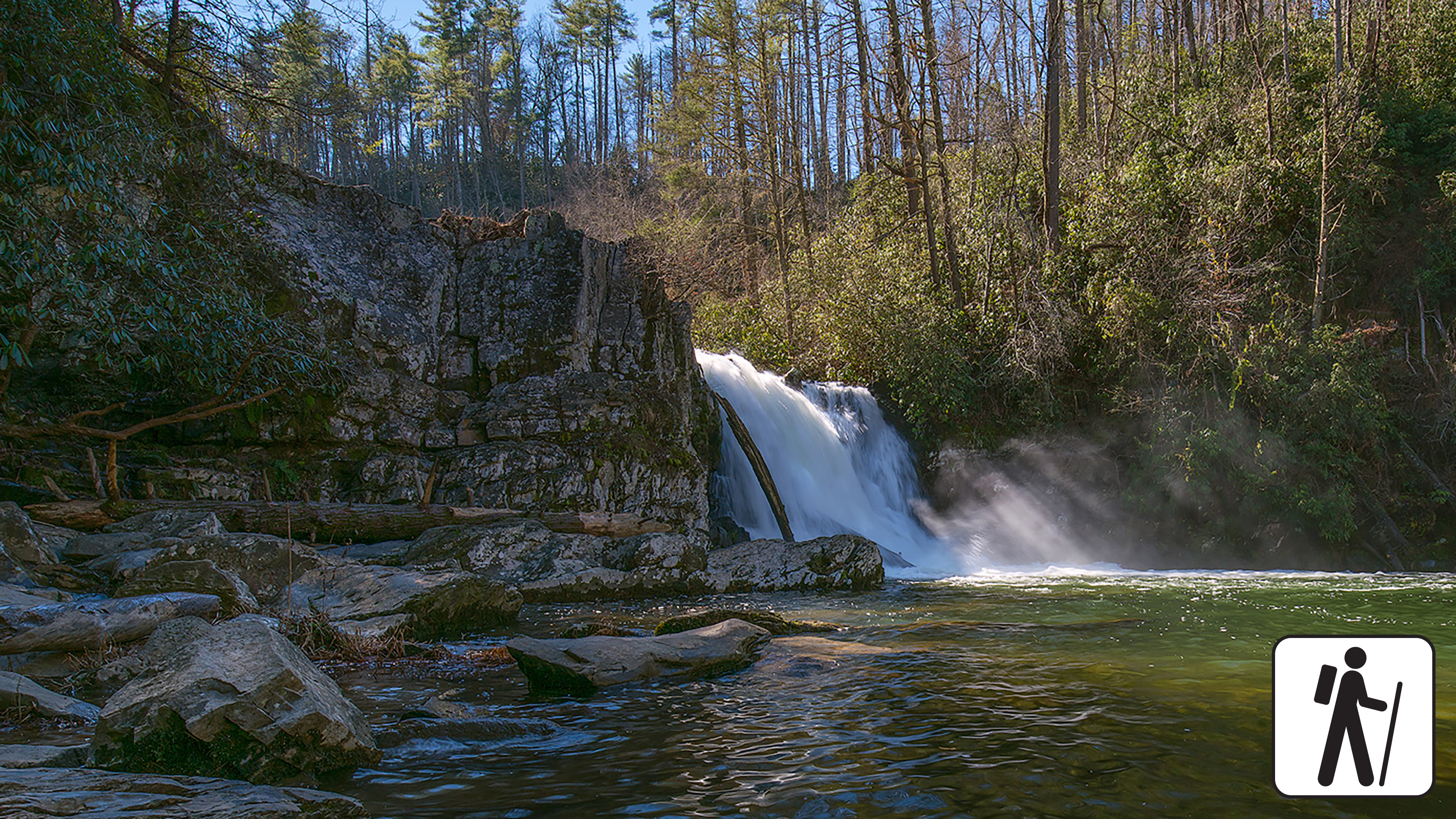
Hike to Abrams Falls
Walk 5 miles (8 km) roundtrip through rhododendron, hemlock, and pine-oak forest to a 25-foot (7.6-m) waterfall and scenic pool. Swimming in the pool is not recommended due to sli…
-
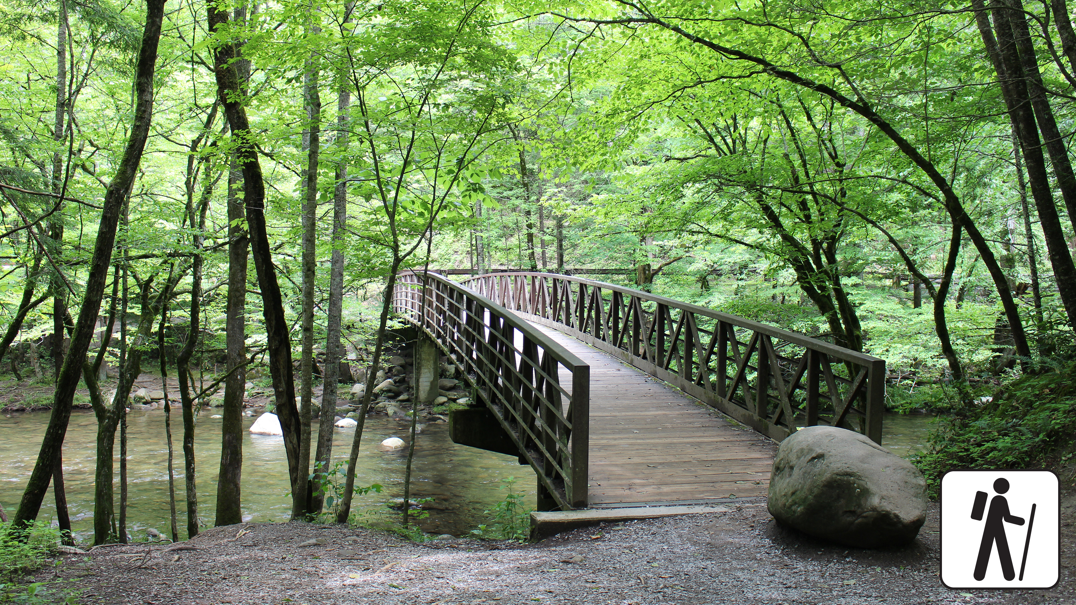
Hike the Gatlinburg Trail
Enjoy a riverside stroll approximately 4 miles (6.4 km) roundtrip through a cove hardwood forest along one of the only dog- and bike-friendly trails in the park. This trail includ…
-
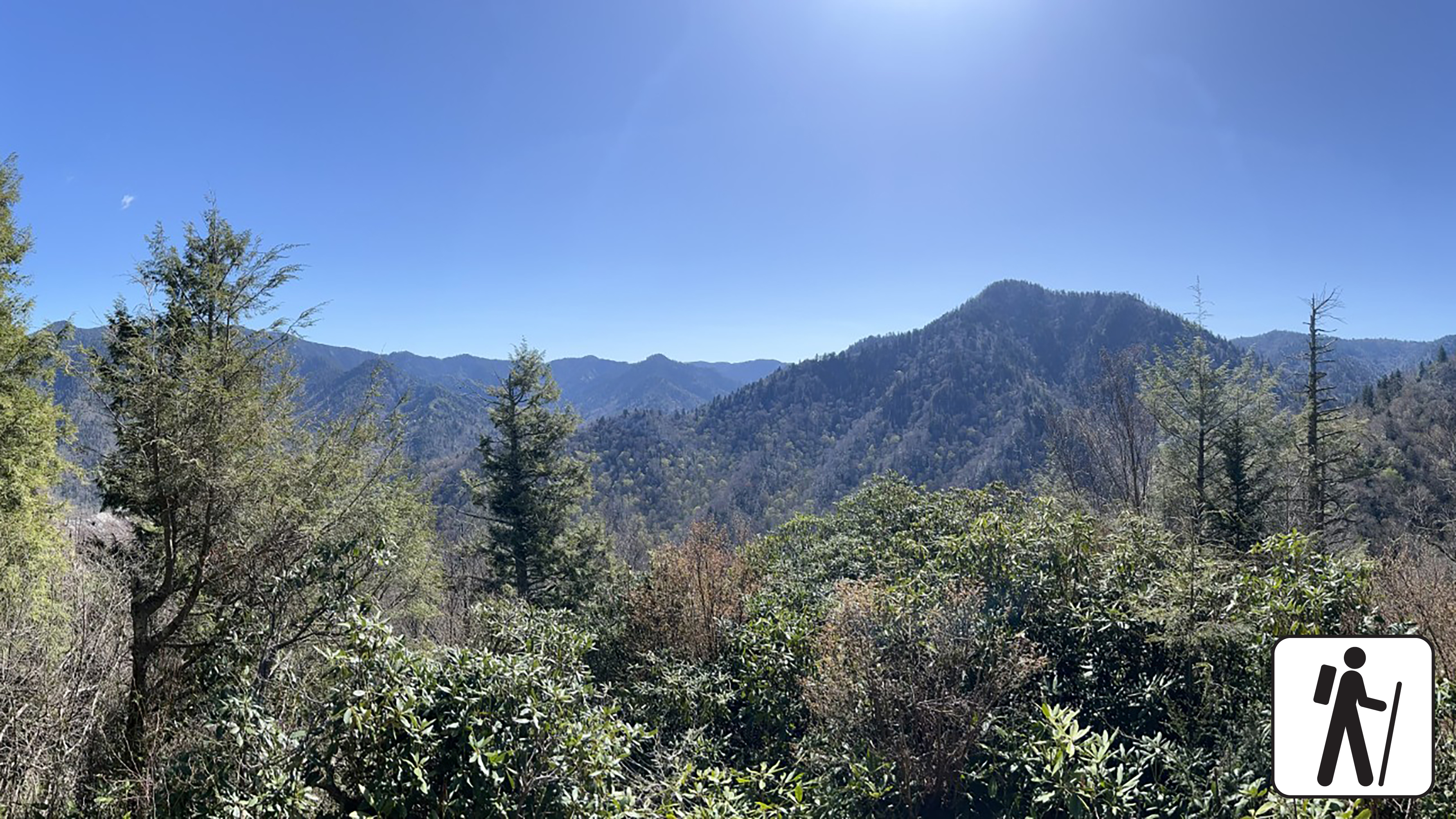
Hike to Chimney Tops Overlook
Hike 3.5 miles (5.6 km) roundtrip on this popular but challenging trail to enjoy views of surrounding mountains and the Chimney Tops pinnacles. This trail is steep and rocky at ti…
-
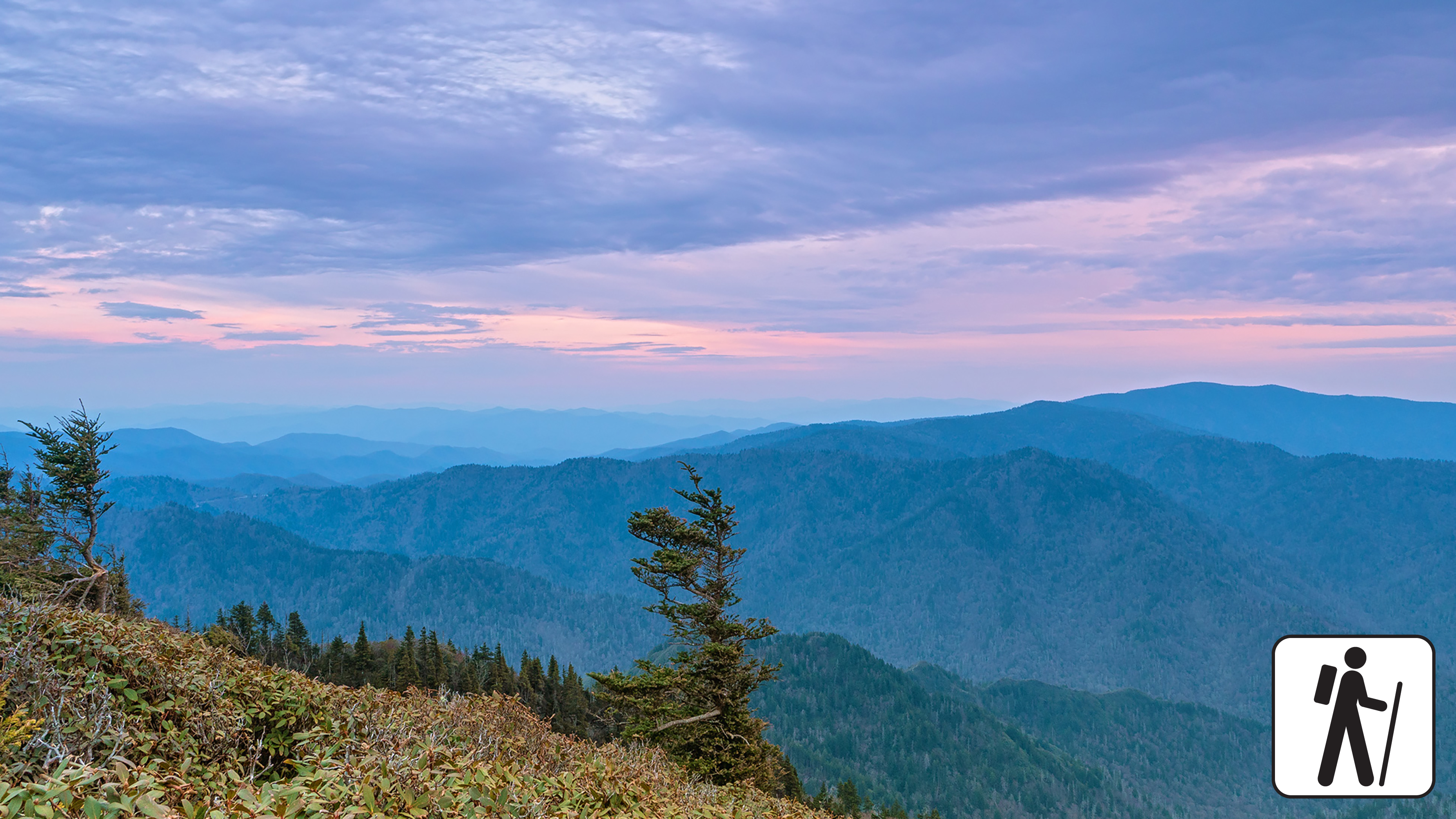
Hike to Mount Le Conte on Bullhead Trail
One of five routes to Mount Le Conte, the Bullhead Trail offers consistent views. The strenuous hike is 13.6 miles (21.9 km) roundtrip. Near the beginning, visitors will see rocky…
-
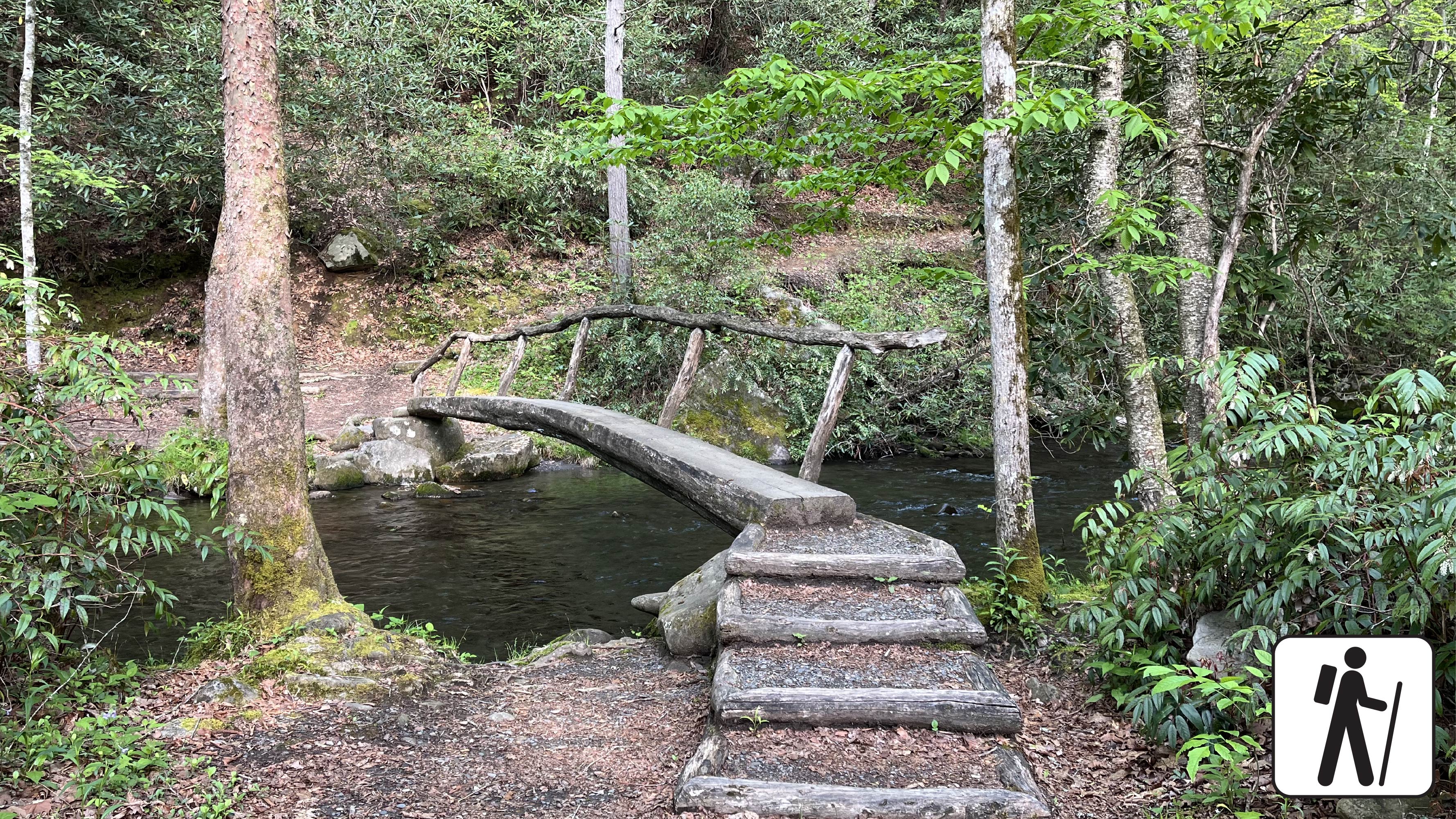
Hike Smokemont Nature Trail
Hike 0.62-mile (1 km) roundtrip on Smokemont Nature Trail which provides a peaceful escape and views of the surrounding peaks.
-
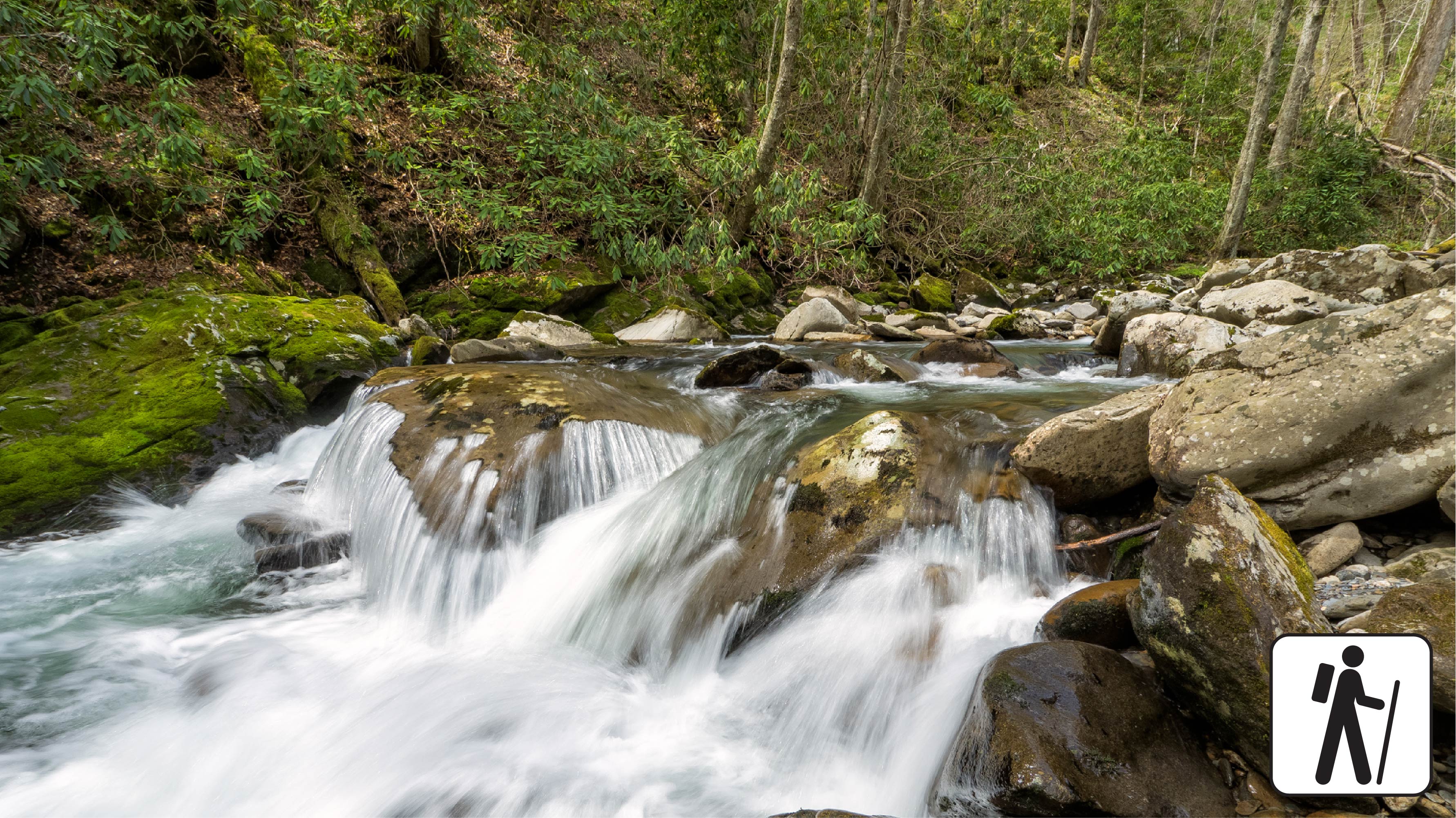
Hike Bradley Fork Trail
The Bradley Fork Trail offers a scenic and diverse outdoor experience, featuring picturesque creeks, seasonal wildflowers, fishing access, horseback riding opportunities, and back…
-
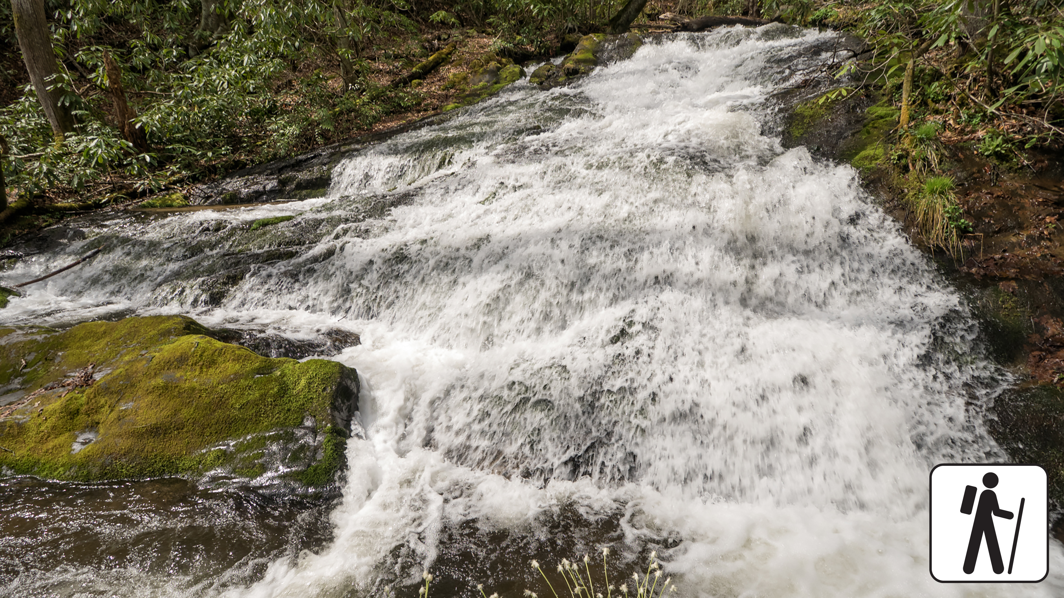
Hike to Chasteen Creek Cascade
Hike 3.6 miles (5.8 km) roundtrip through hardwood forest following the path of mountain streams to a peaceful cascade. This trail is wide, well-graded, and regularly used by both…
-
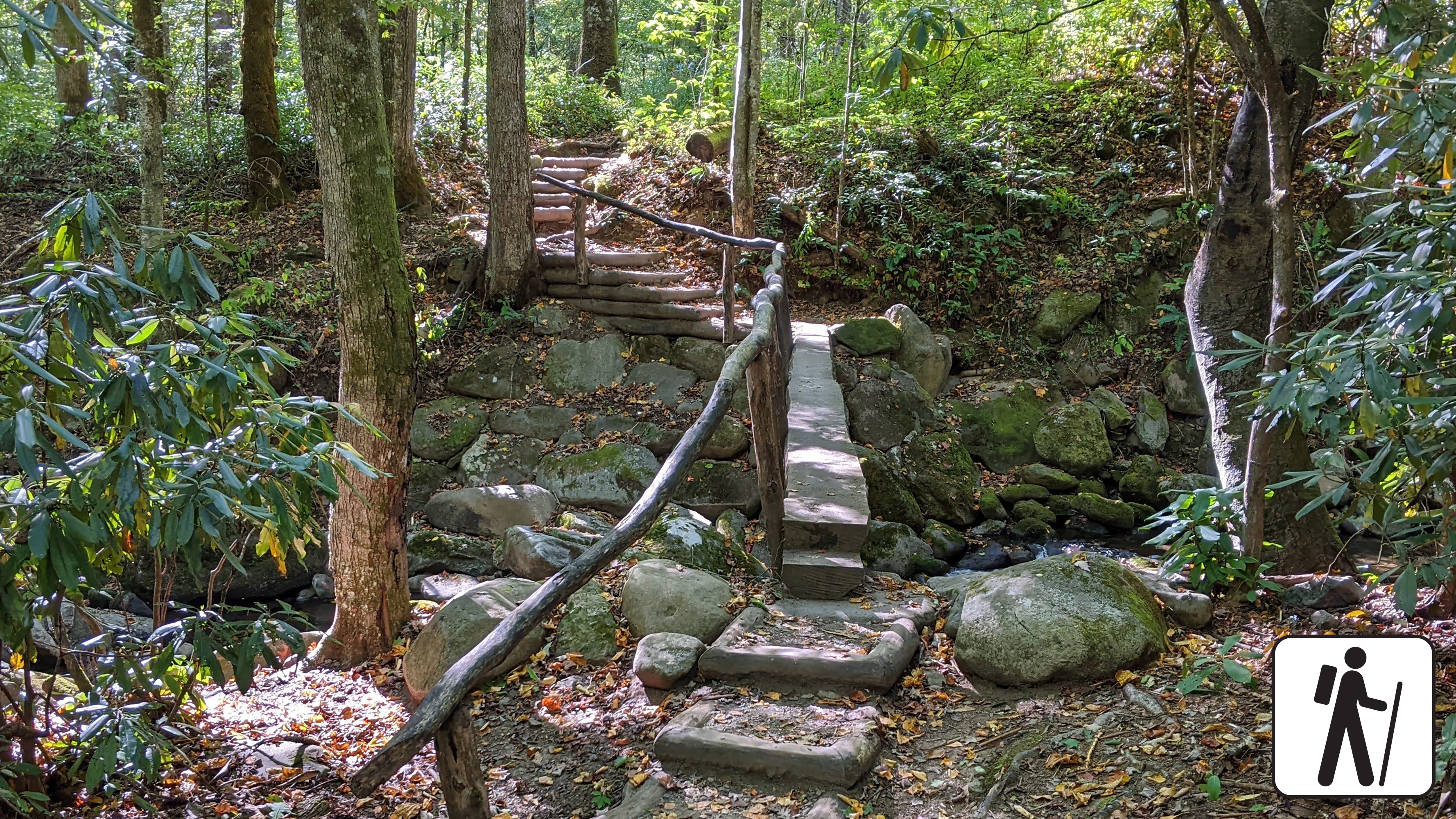
Hike Kephart Prong Trail to Historic CCC Camp
Follow the flow of mountain streams 4 miles (6.4 km) roundtrip through hardwood forest and across several log footbridges to the remains of a CCC camp and the Kephart Shelter.
-
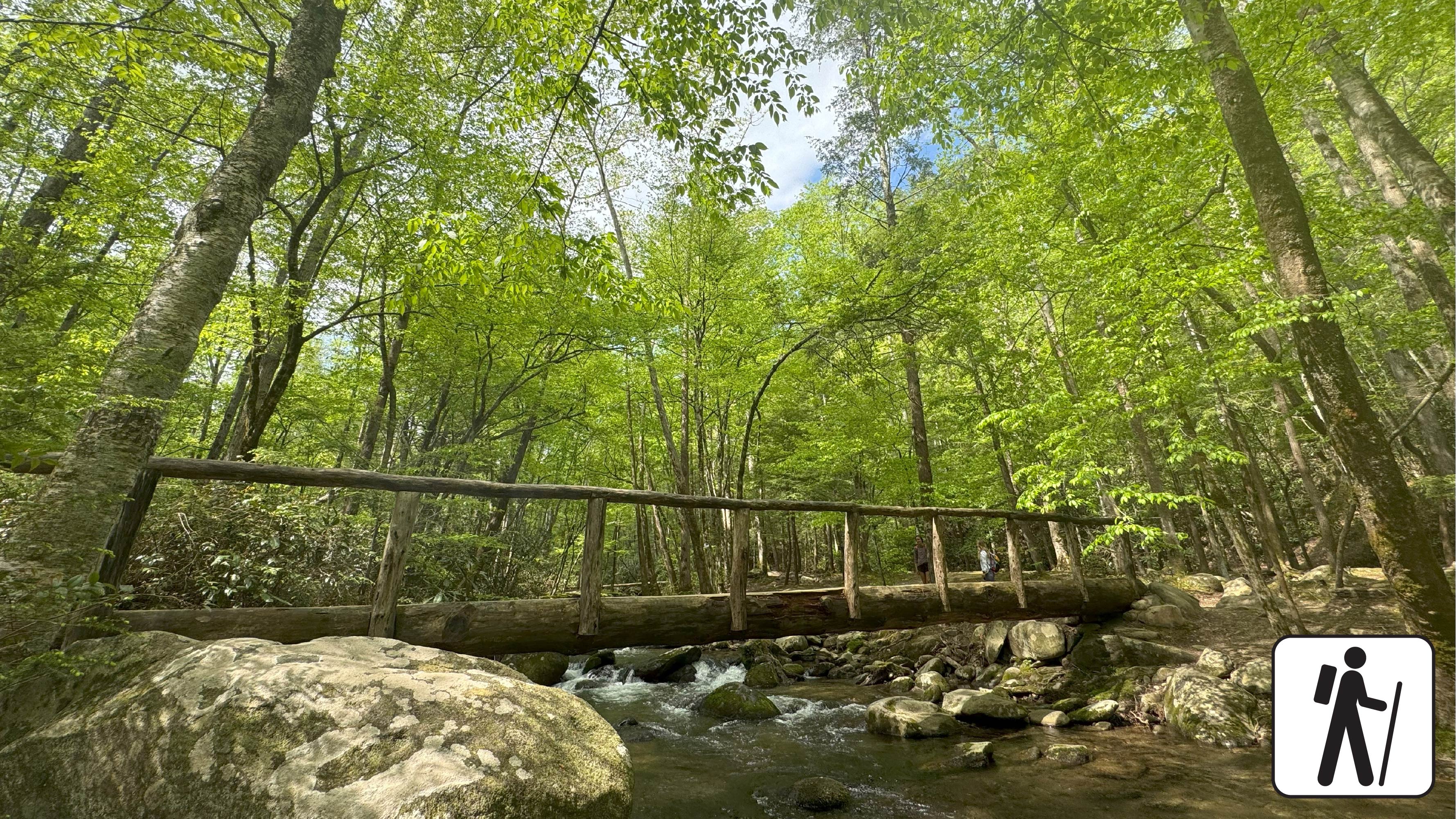
Hike West Prong Trail
Hike 5.4 miles (8.7 km) roundtrip on West Prong Trail
Great Smoky Mountains on the map
78 trails238 places to see84 visitor services
Places to see
Viewpoints
Natural features
History & culture
Campgrounds in Great Smoky Mountains
Run by the park service. Reservable sites book on Recreation.gov; first-come sites do not.
-
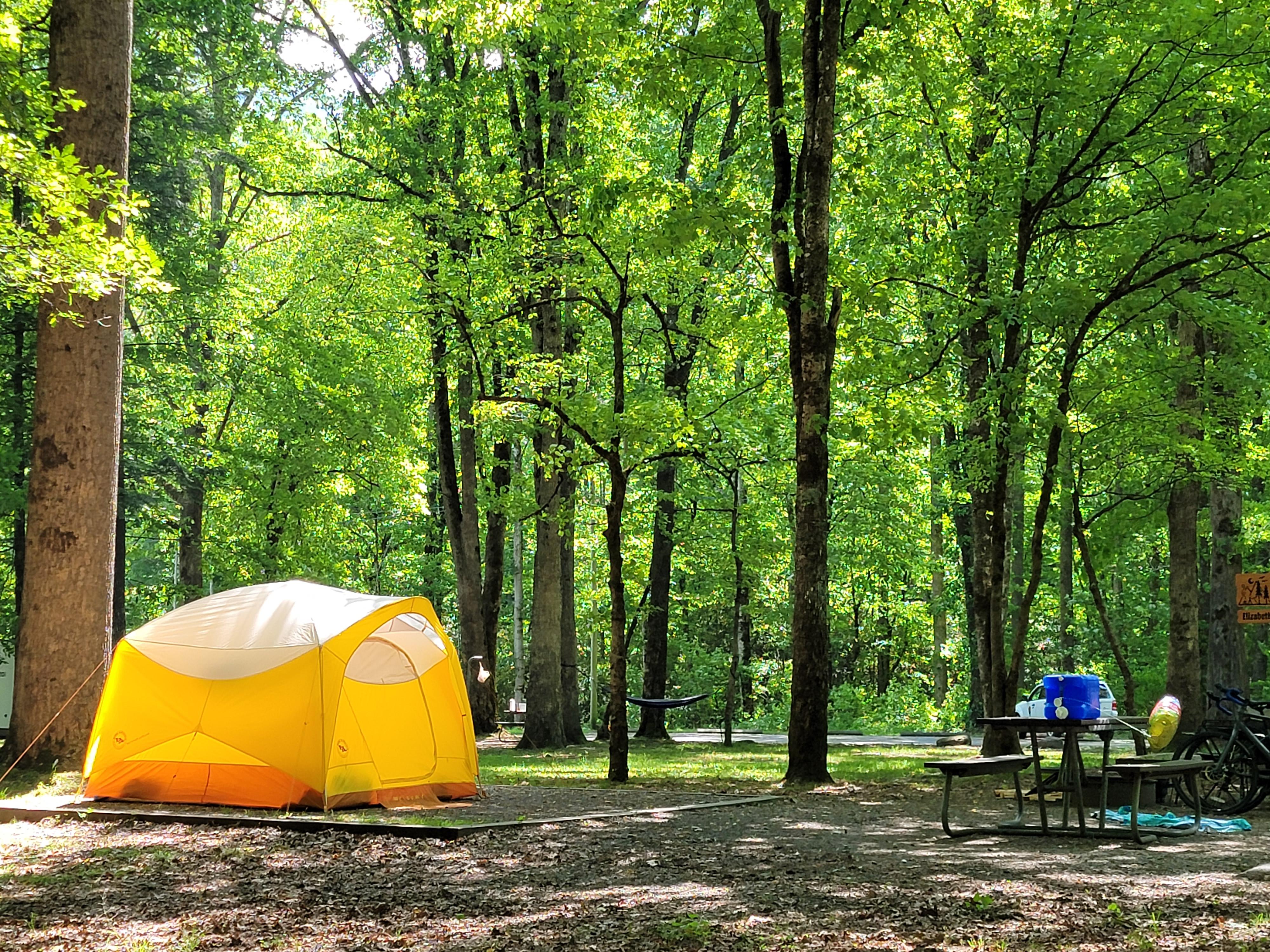
Smokemont Campground
Smokemont Campground—open year-round—is the closest family campground to Oconaluftee Visitor Center in the South District of the park. At 2,198 feet (670 m), w…
-
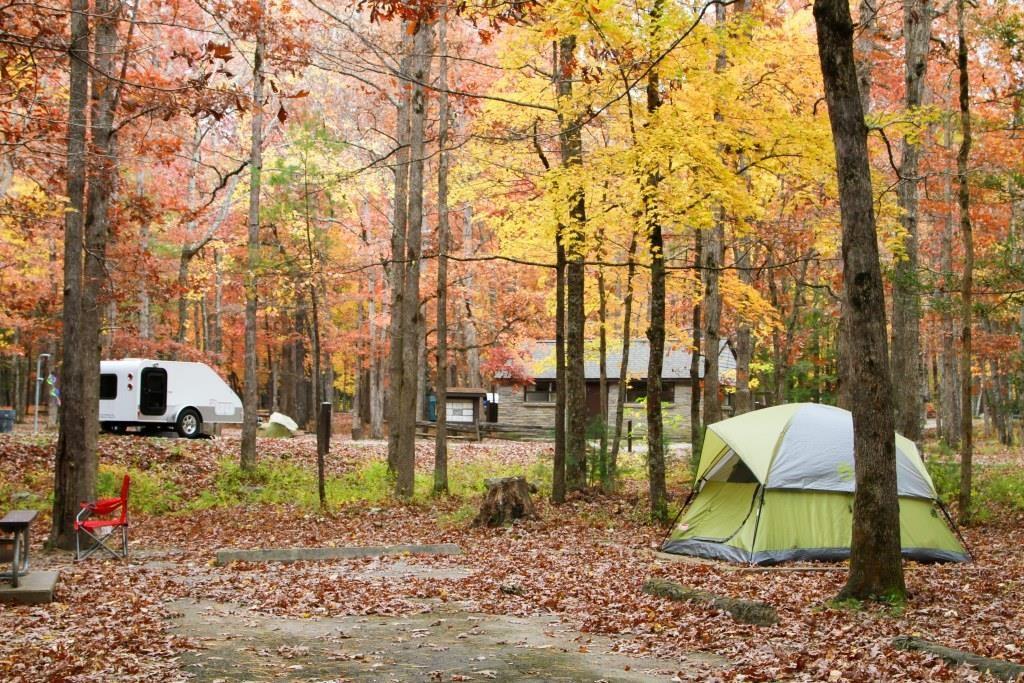
Cades Cove Campground
Cades Cove Campground—open year-round—combines the feel of primitive camping with the modern convenience of flush toilets and drinking water. With an elevation…
-

Elkmont Campground
Elkmont Campground is the closest family campground to Sugarlands Visitor Center in the North District of the park. At 2,150 feet (655 m), winters are mild and…
-

Cosby Campground
Cosby Campground is tucked in the mountains under a canopy of shade. With an elevation of 2,459 feet (750 m), Cosby provides a moderate climate, characterized…
-
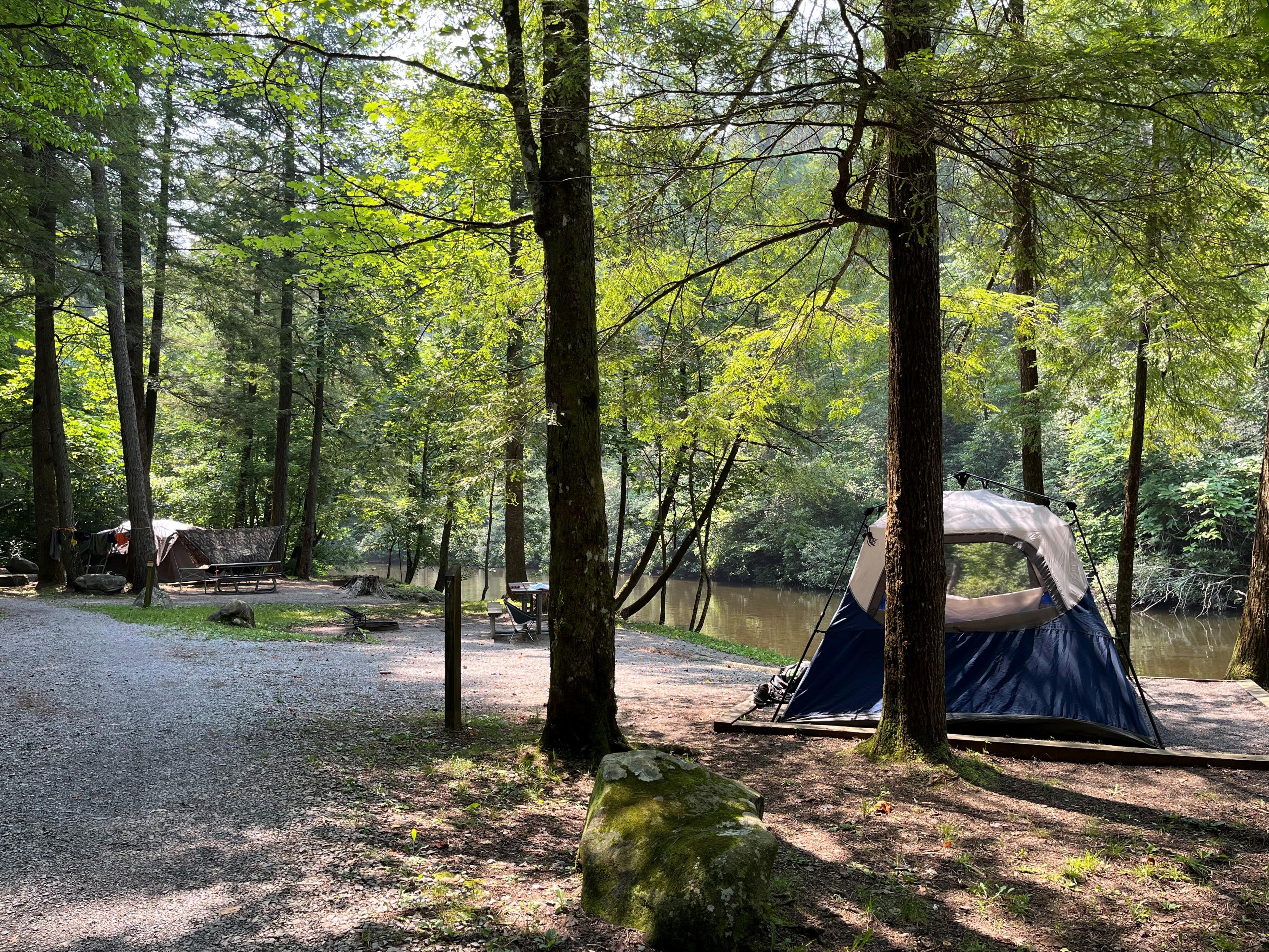
Abrams Creek Campground
Abrams Creek Campground is located beside beautiful Abrams Creek in a remote and secluded setting. With an elevation of 1,125 feet (343 m), the climate is mode…
-
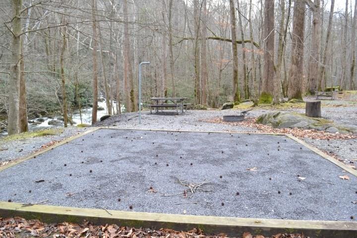
Big Creek Campground
Big Creek Campground is located beside the beautiful Big Creek in a remote and secluded setting. With an elevation of 1,700 feet (518 m), the climate is modera…
-
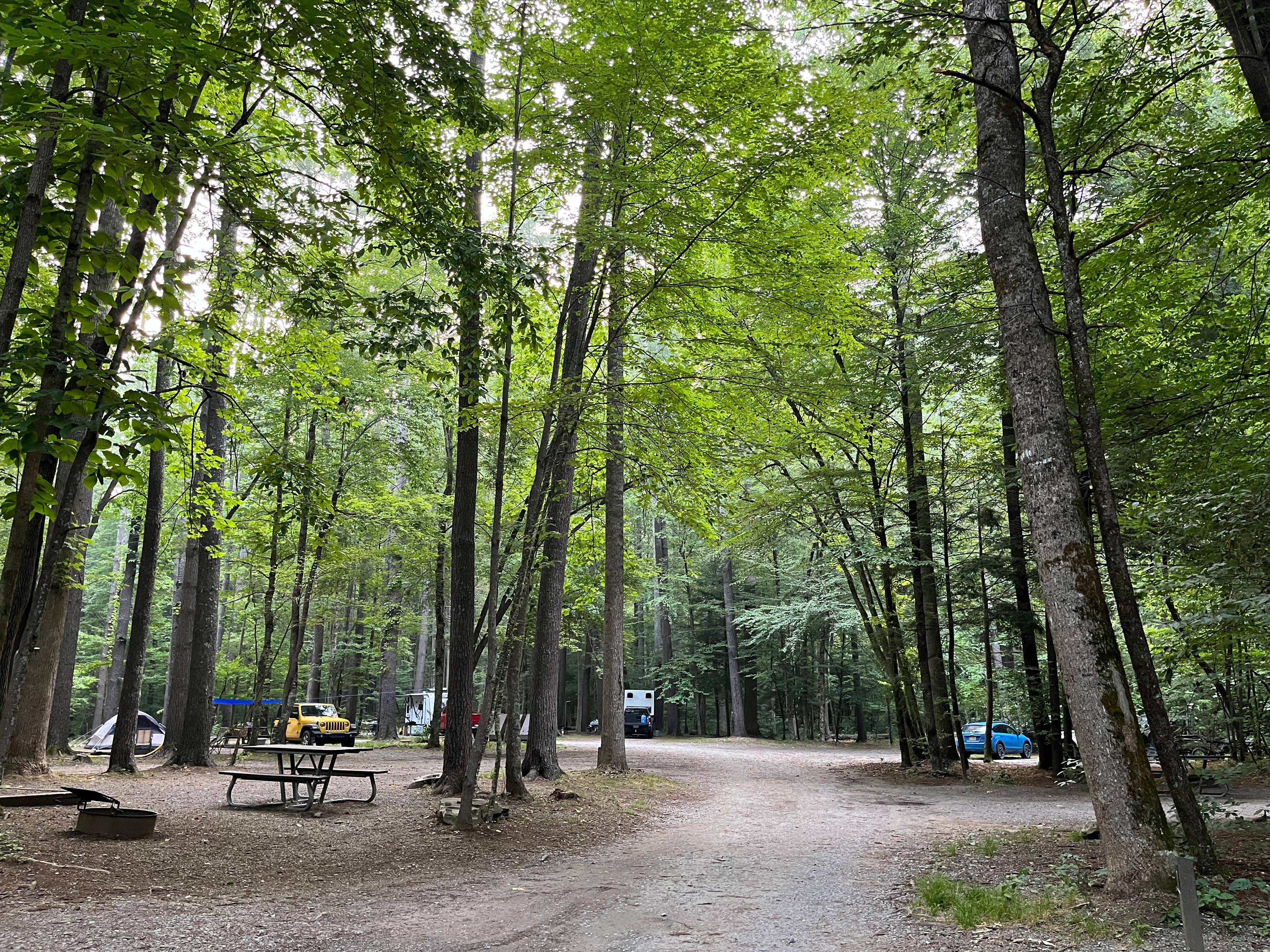
Cataloochee Campground
Cataloochee Campground is located in the historic Cataloochee Valley surrounded by mountain ranges and pristine streams. With an elevation of 2,610 feet (796 m…
-
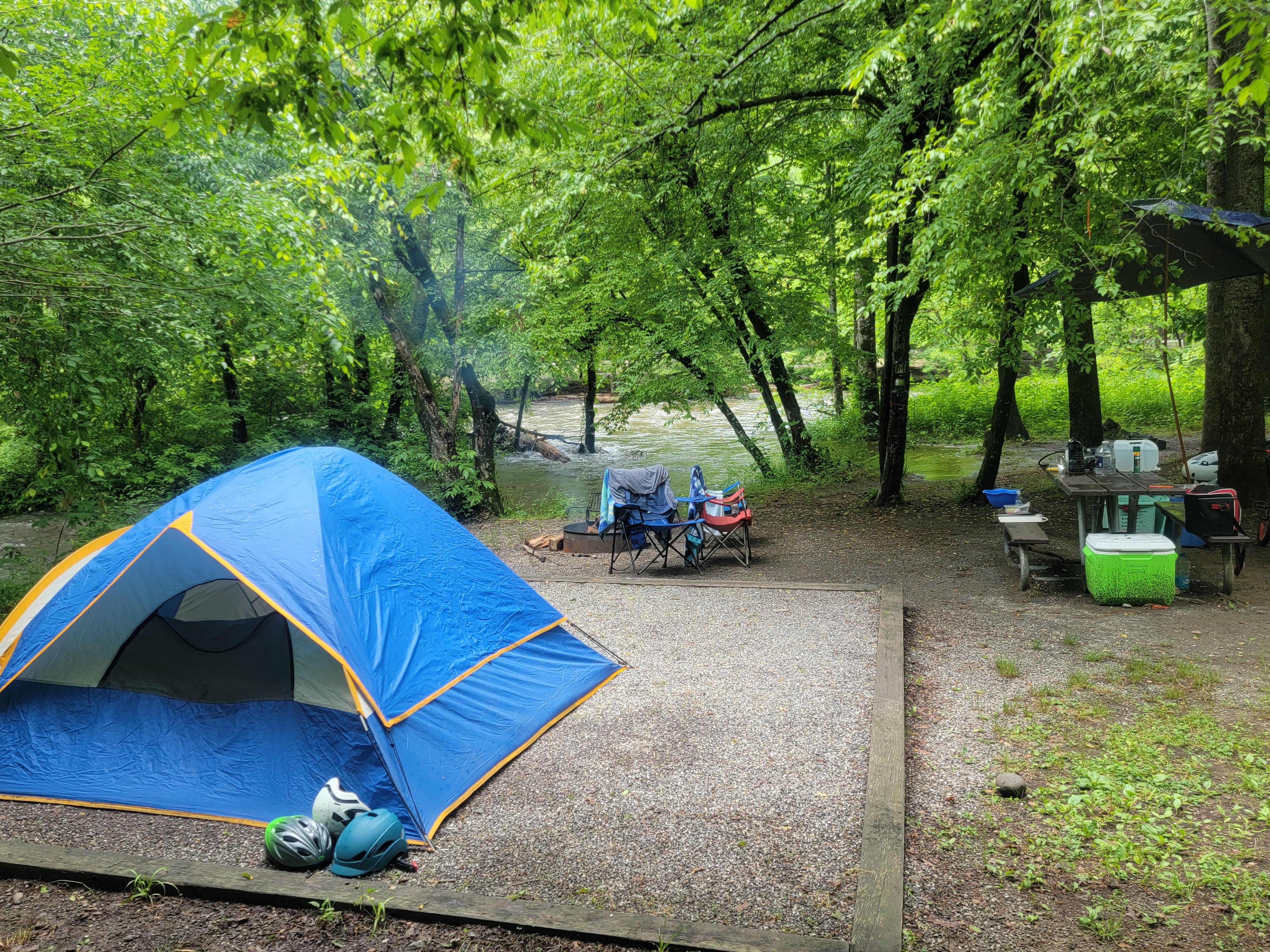
Deep Creek Campground
Deep Creek Campground is located next to one of the park's most popular creeks. With an elevation of 1,800 feet (549 m), the climate is characterized by mild w…
-
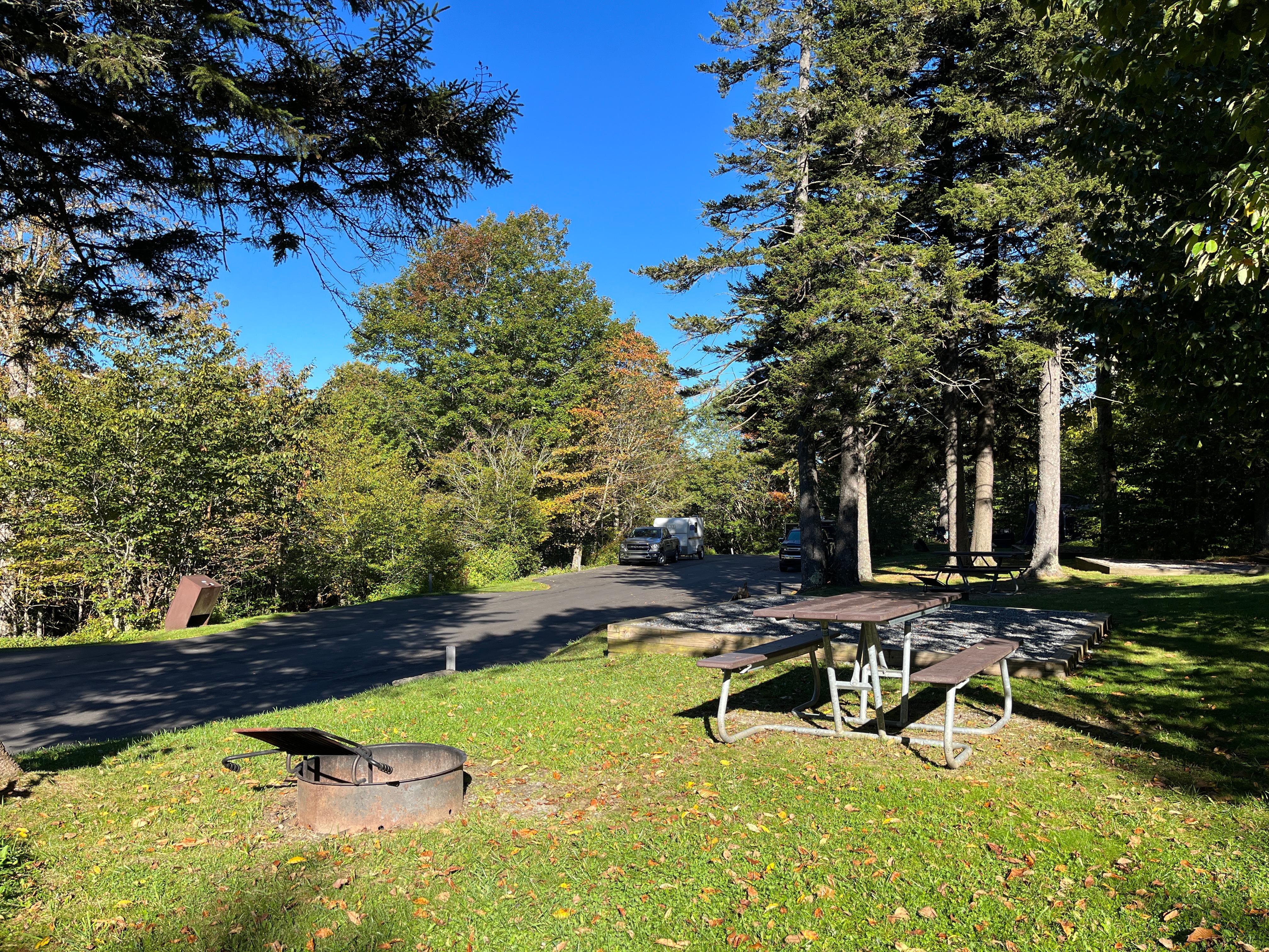
Balsam Mountain Campground
Balsam Mountain Campground is surrounded by mountain ranges and streams. With an elevation of 5,310 feet (1,618 m), summer daytime temperatures rarely exceed 7…
-
Elkmont Group Campground
These sites offers an ideal setting for group camping excursions and outdoor enthusiasts of all kinds.
-

Look Rock Campground
Look Rock Campground is located along the beautiful Foothills Parkway West between Walland, Tennessee and Chilhowee Lake. With an elevation of 2,600 feet (792…
-
Cades Cove Group Campground
Cades Cove combines the feel of primitive camping with the modern convenience of flush toilets and drinking water. A camp store provides visitors with basic ne…
Reading about Great Smoky Mountains
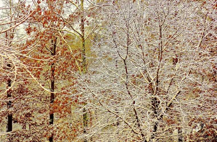
What to pack for Great Smoky Mountains
Gear & Essentials
Tell us about your trip and we will add what else you will want:
The basics
Worth having in the car whatever the park.
For this trip
As an Amazon Associate we earn from qualifying purchases, at no extra cost to you.